Elevation of La Croix de Bauzon, Borne, France
Location: France > Ardeche > Borne >
Longitude: 4.0944831
Latitude: 44.6358347
Elevation: 1296m / 4252feet
Barometric Pressure: 87KPa
Elevation Map:
Satellite Map:
Related Photos:
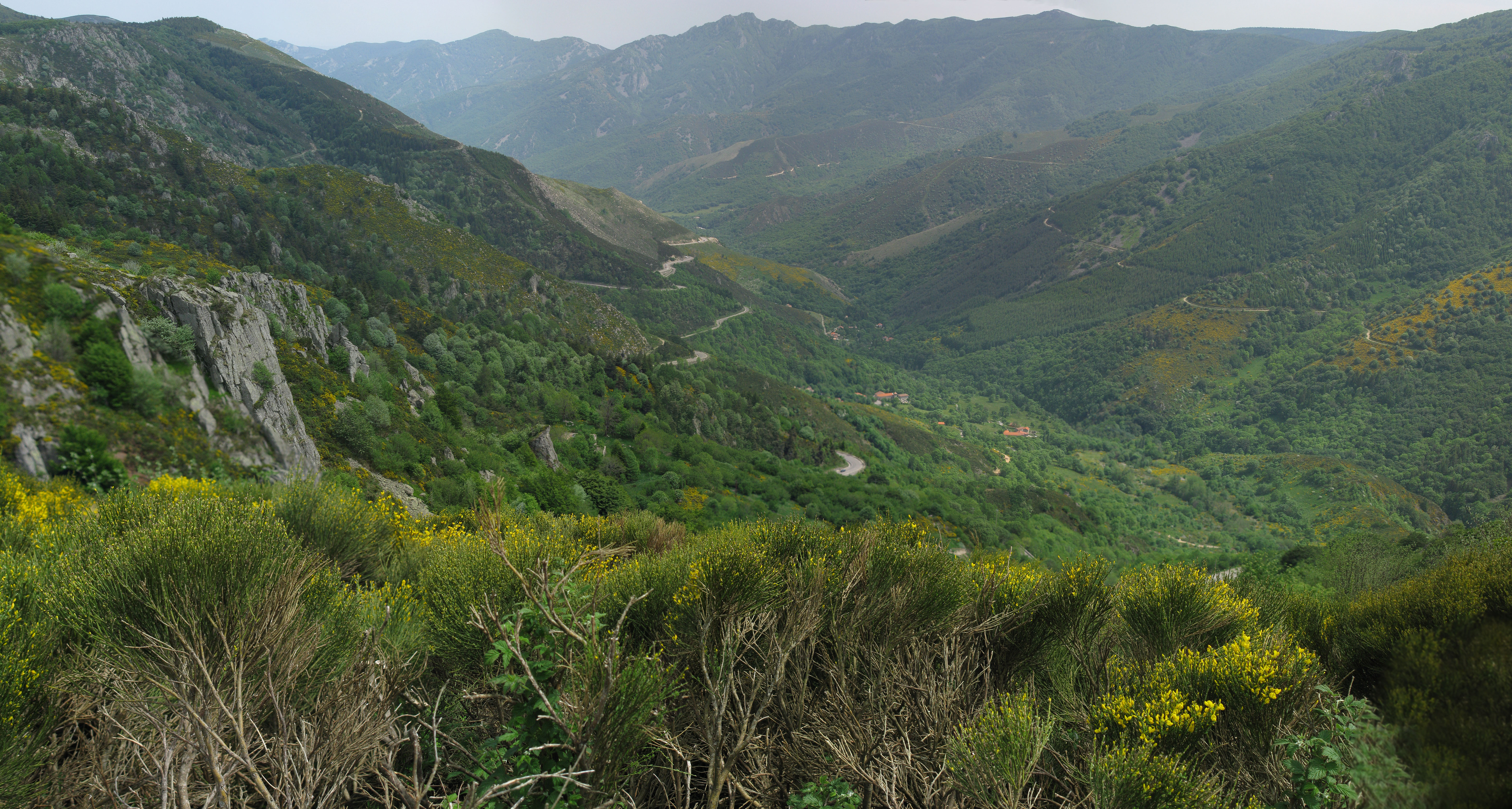
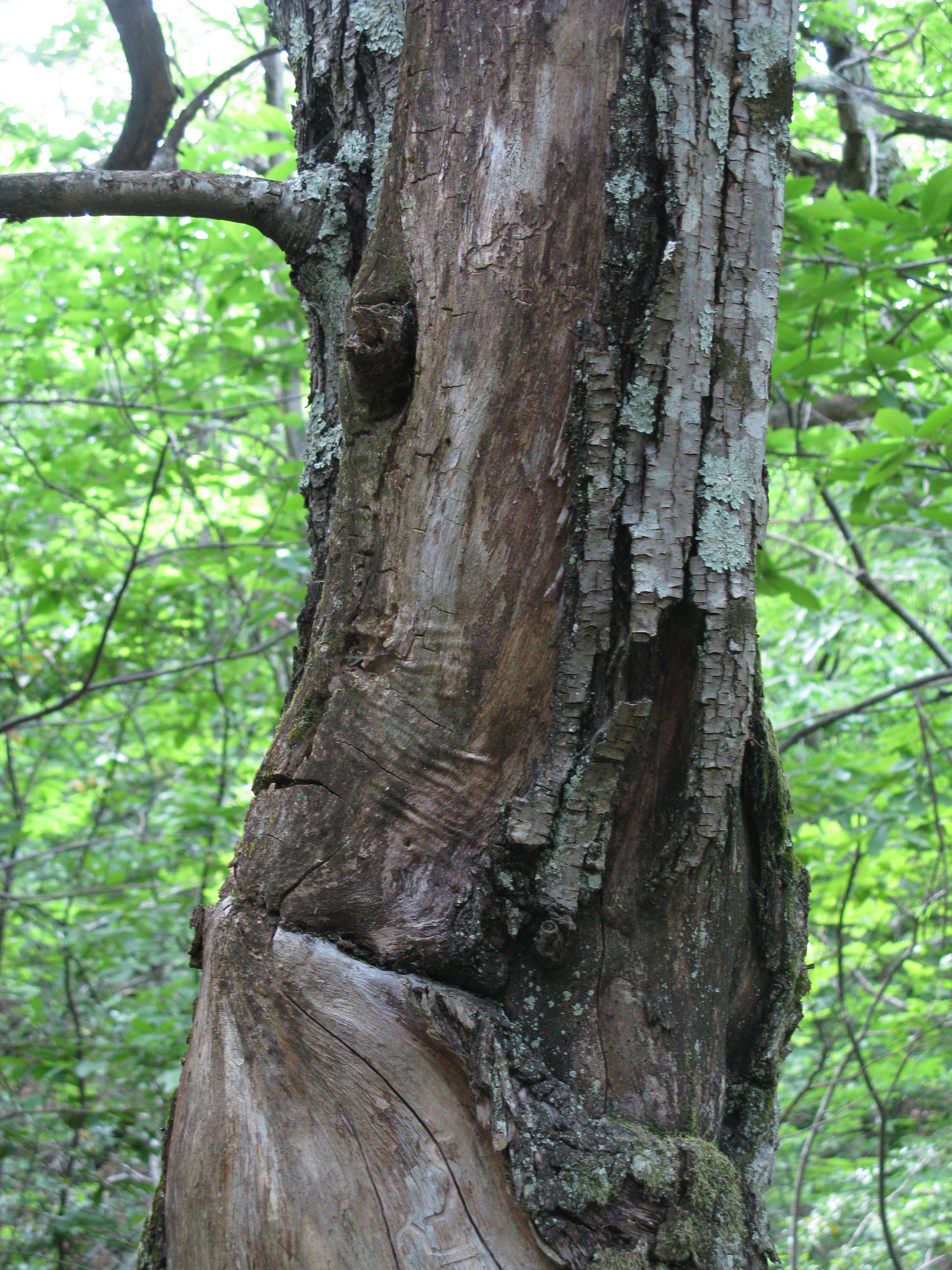
MDM_2019_pano.jpg
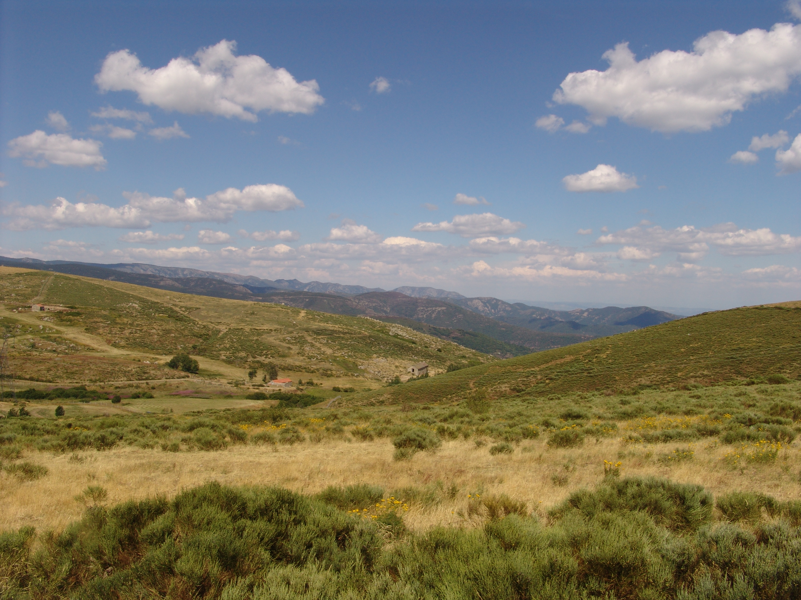
MDM_2052.jpg
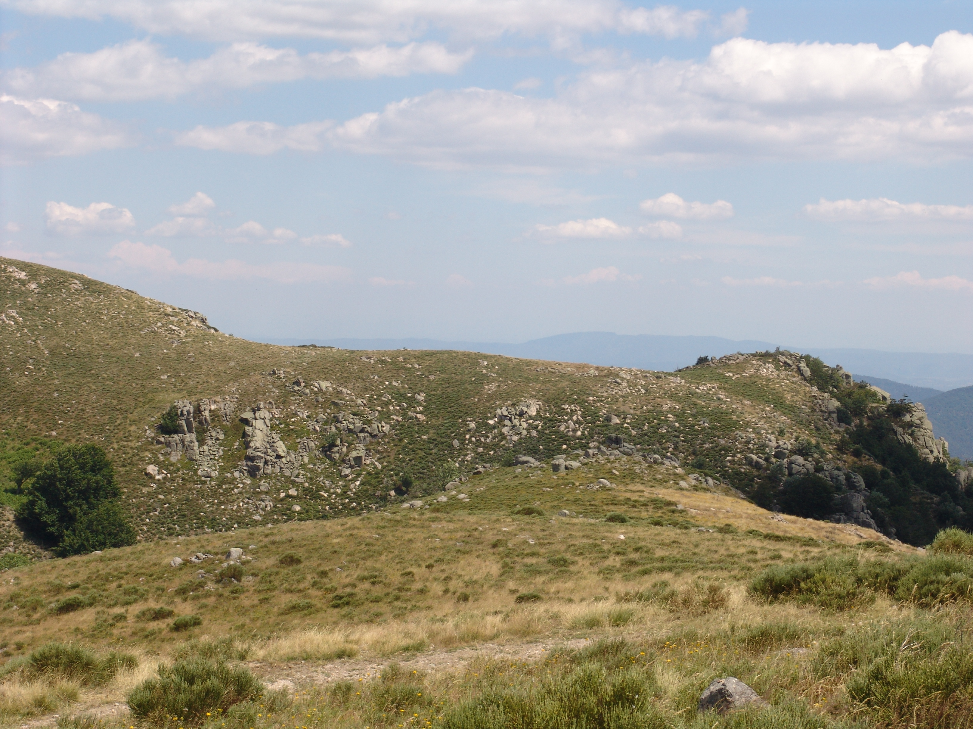
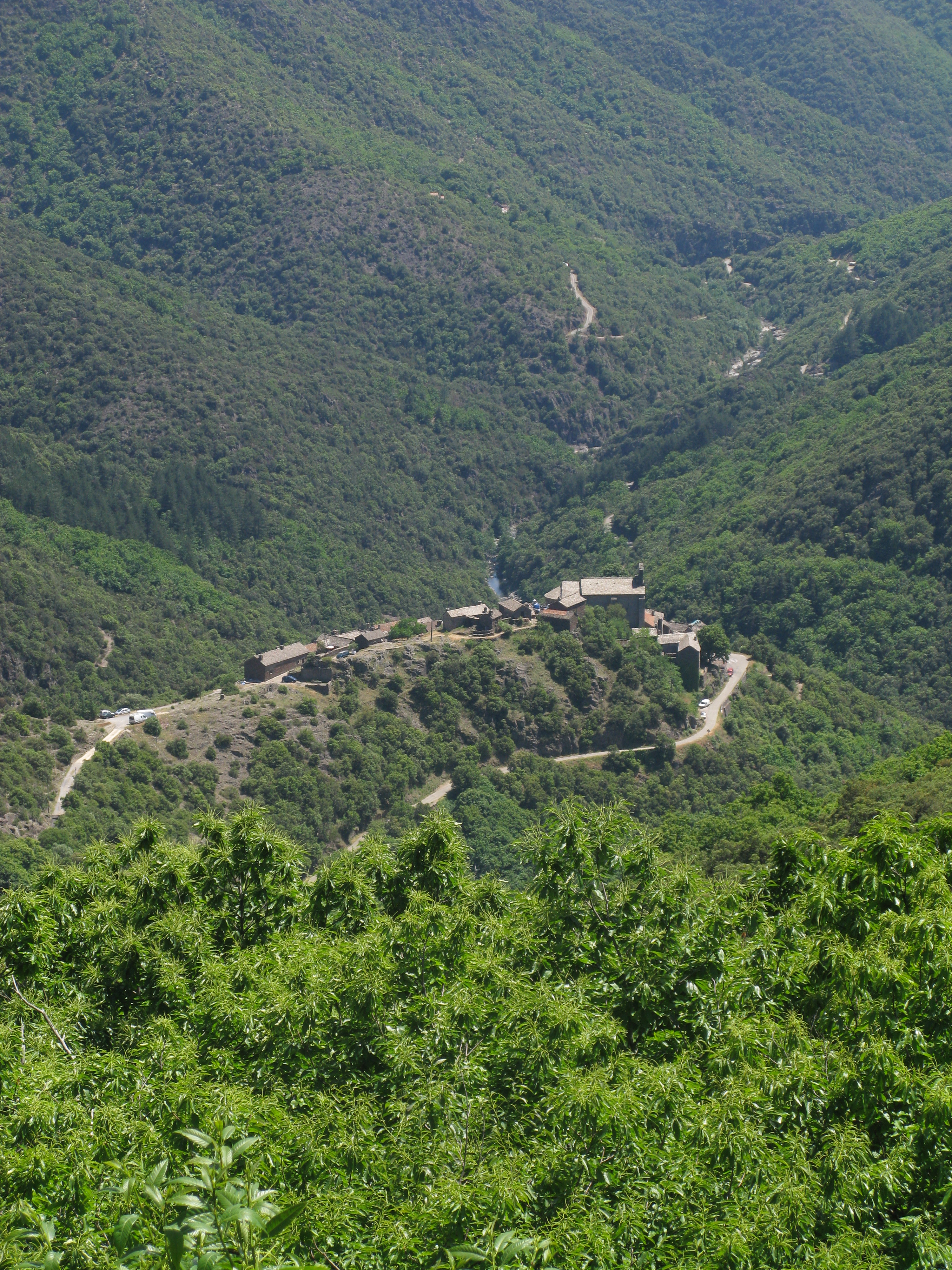
View near La Bombine

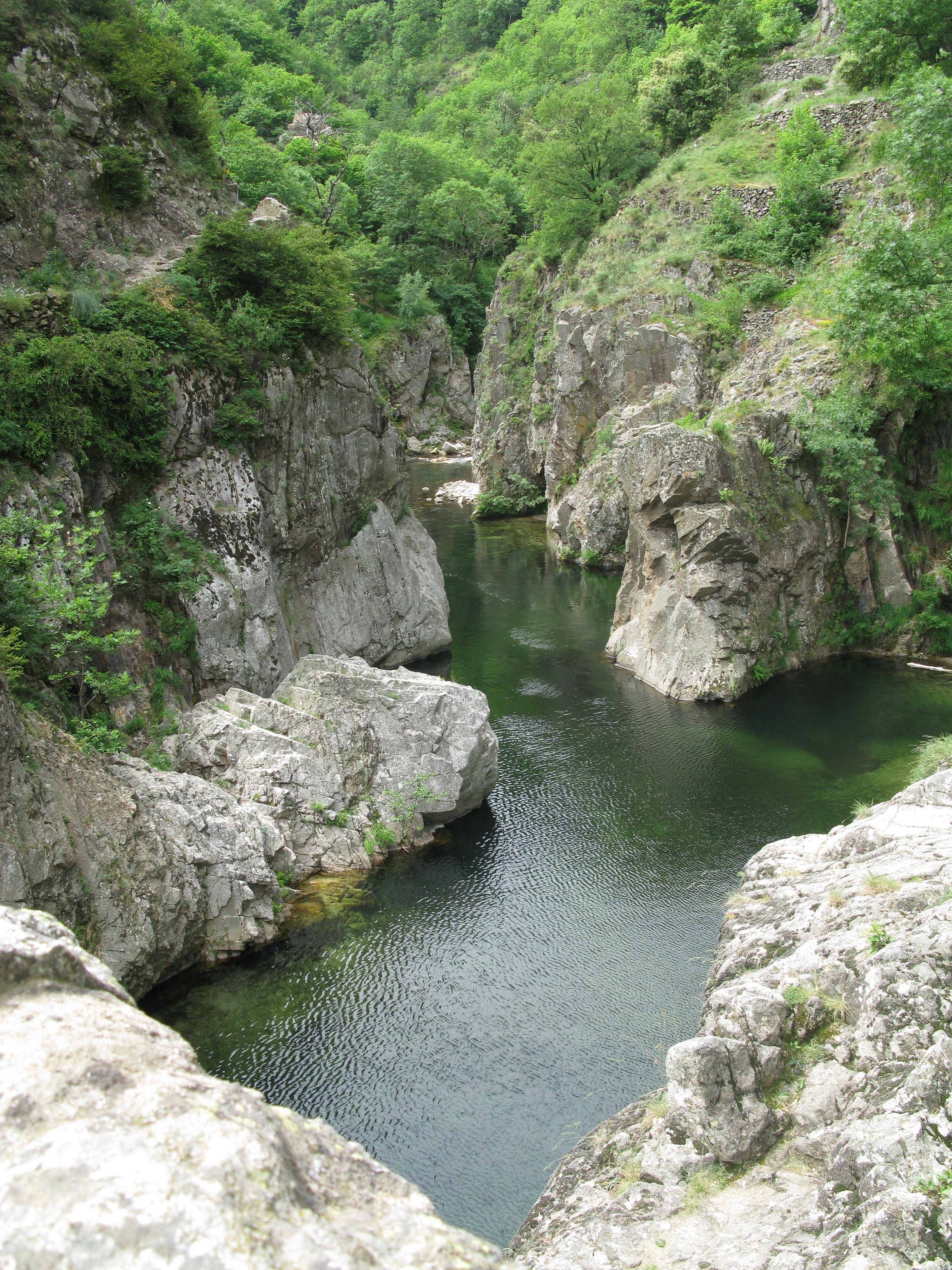
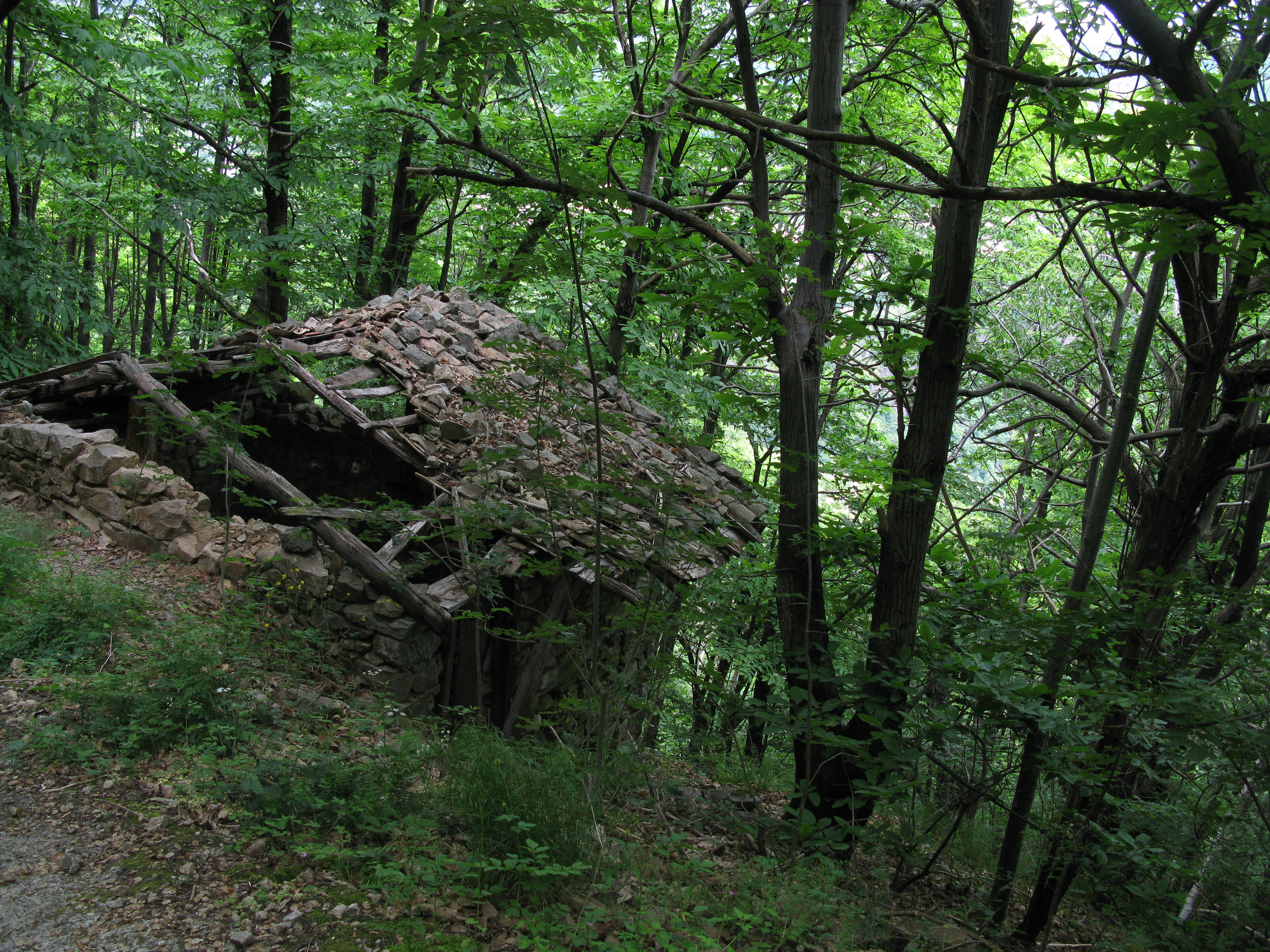
View from the Roman Road
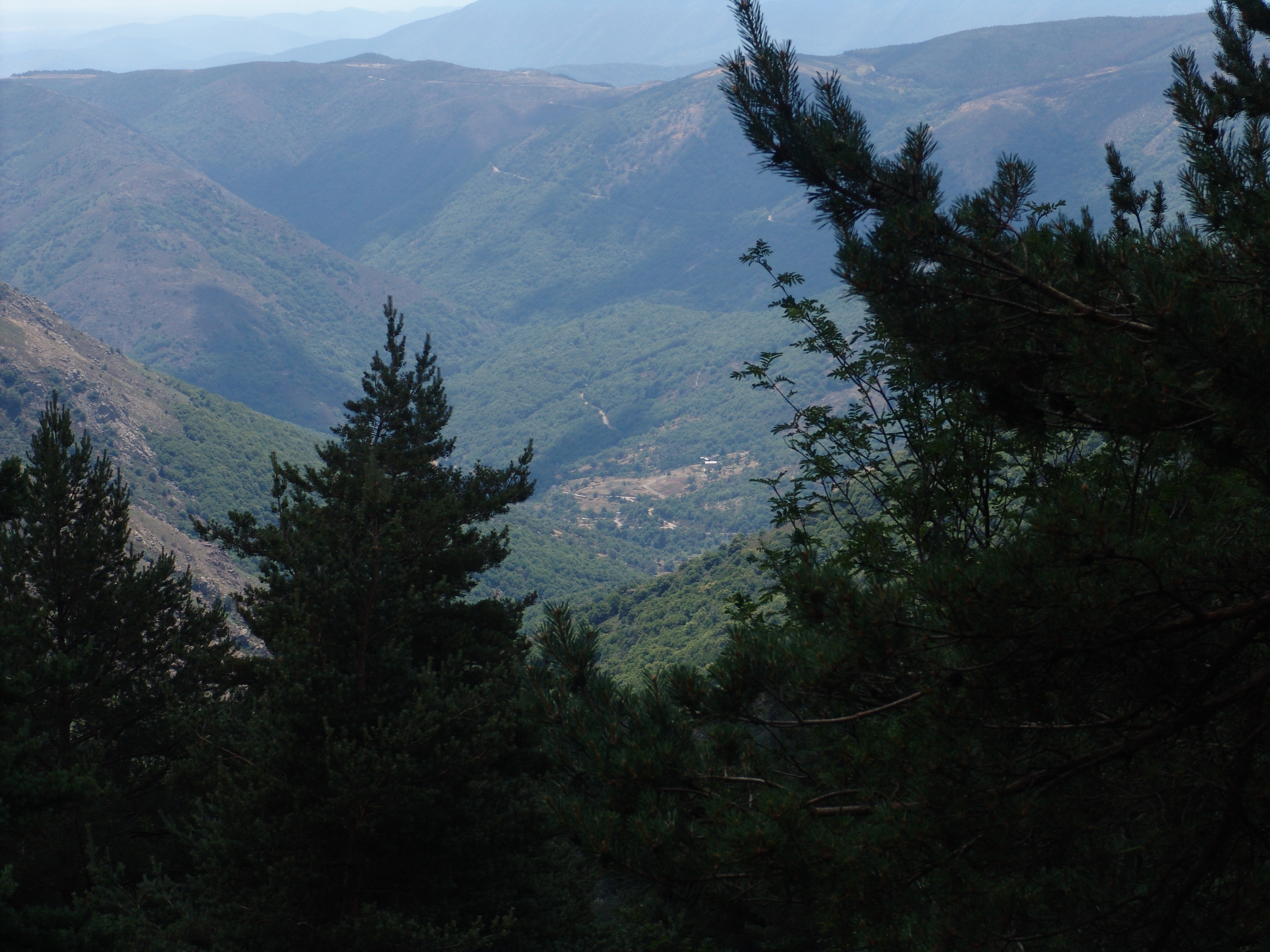
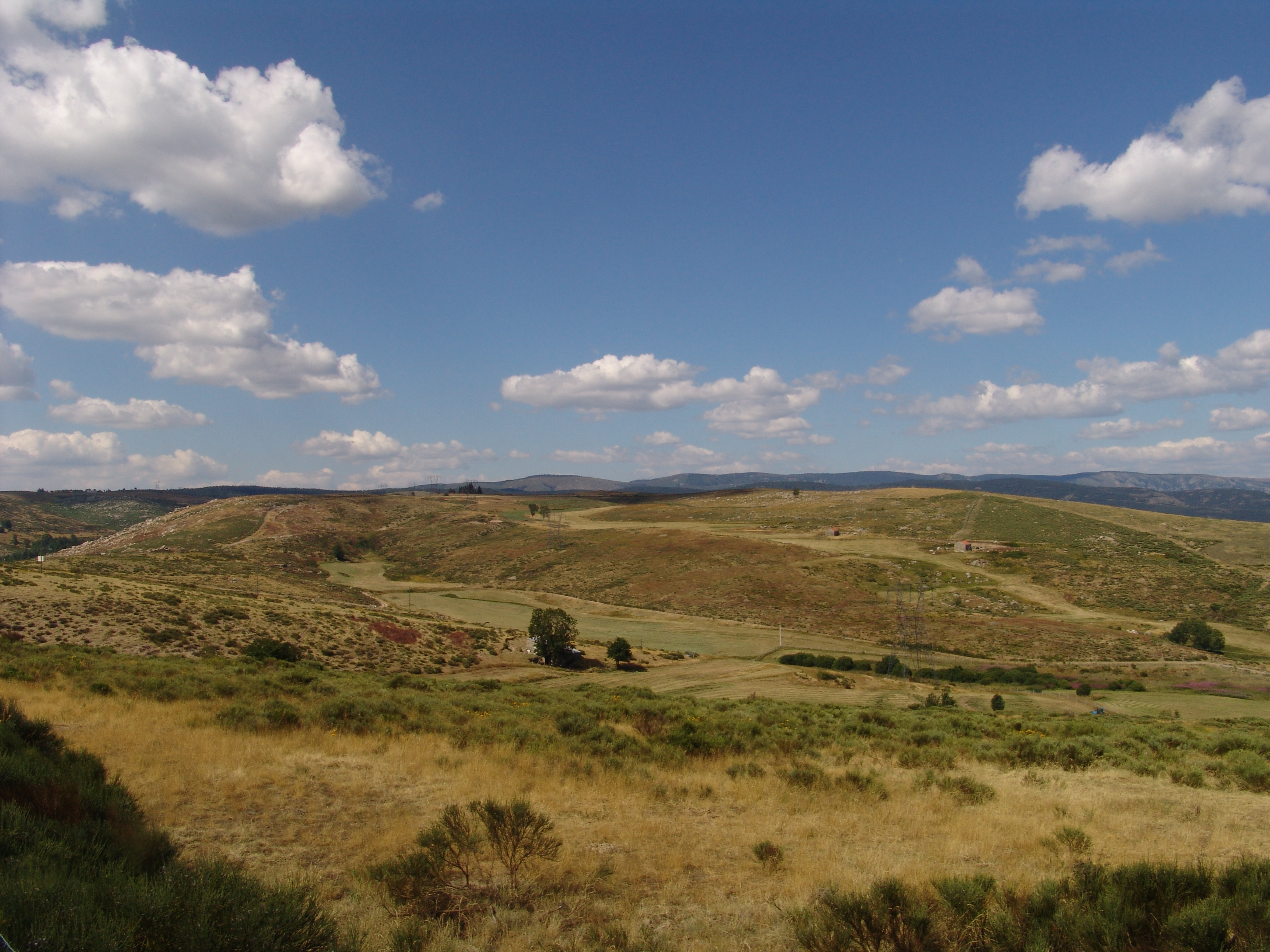
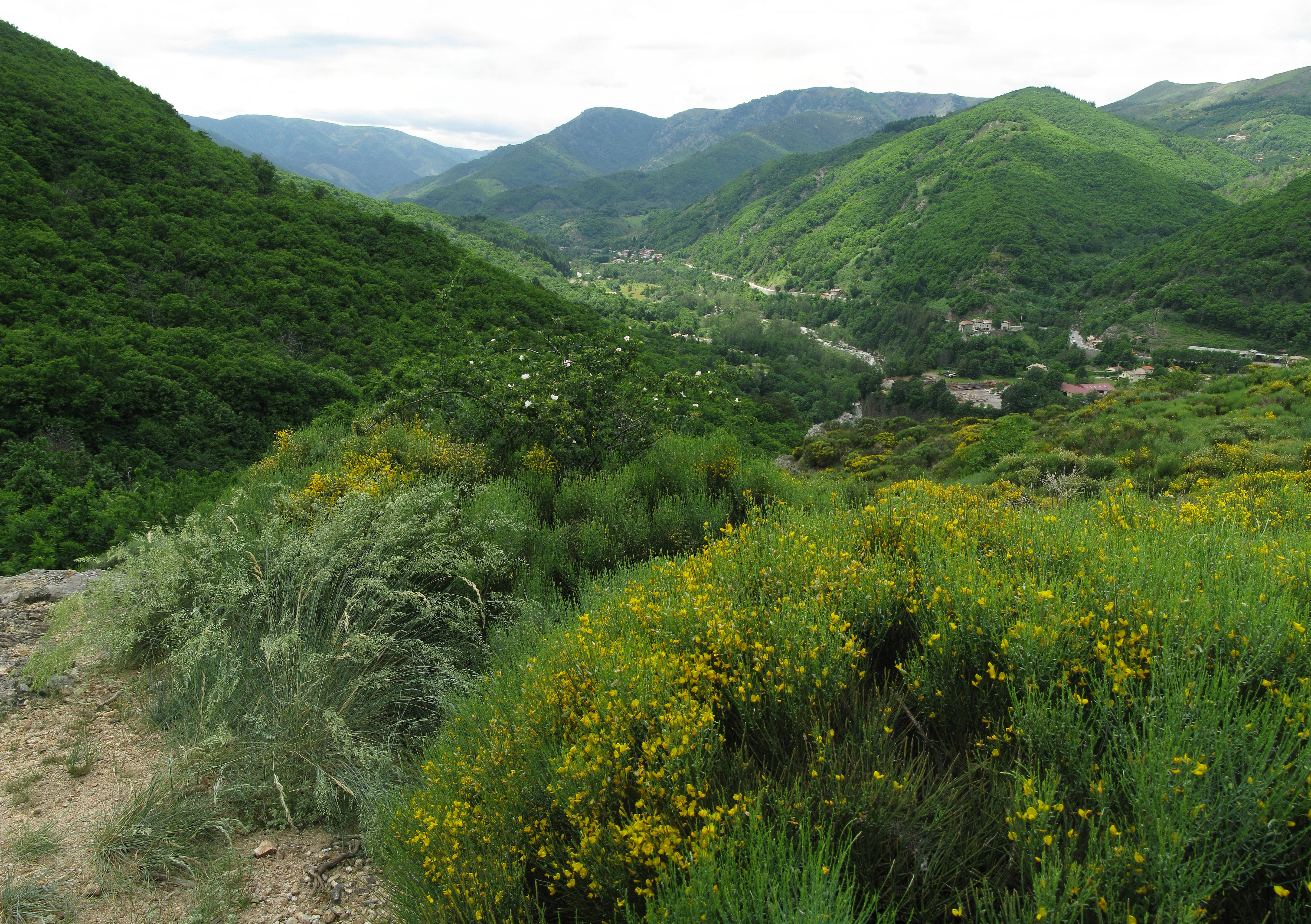
View from the Pratauberat Forest
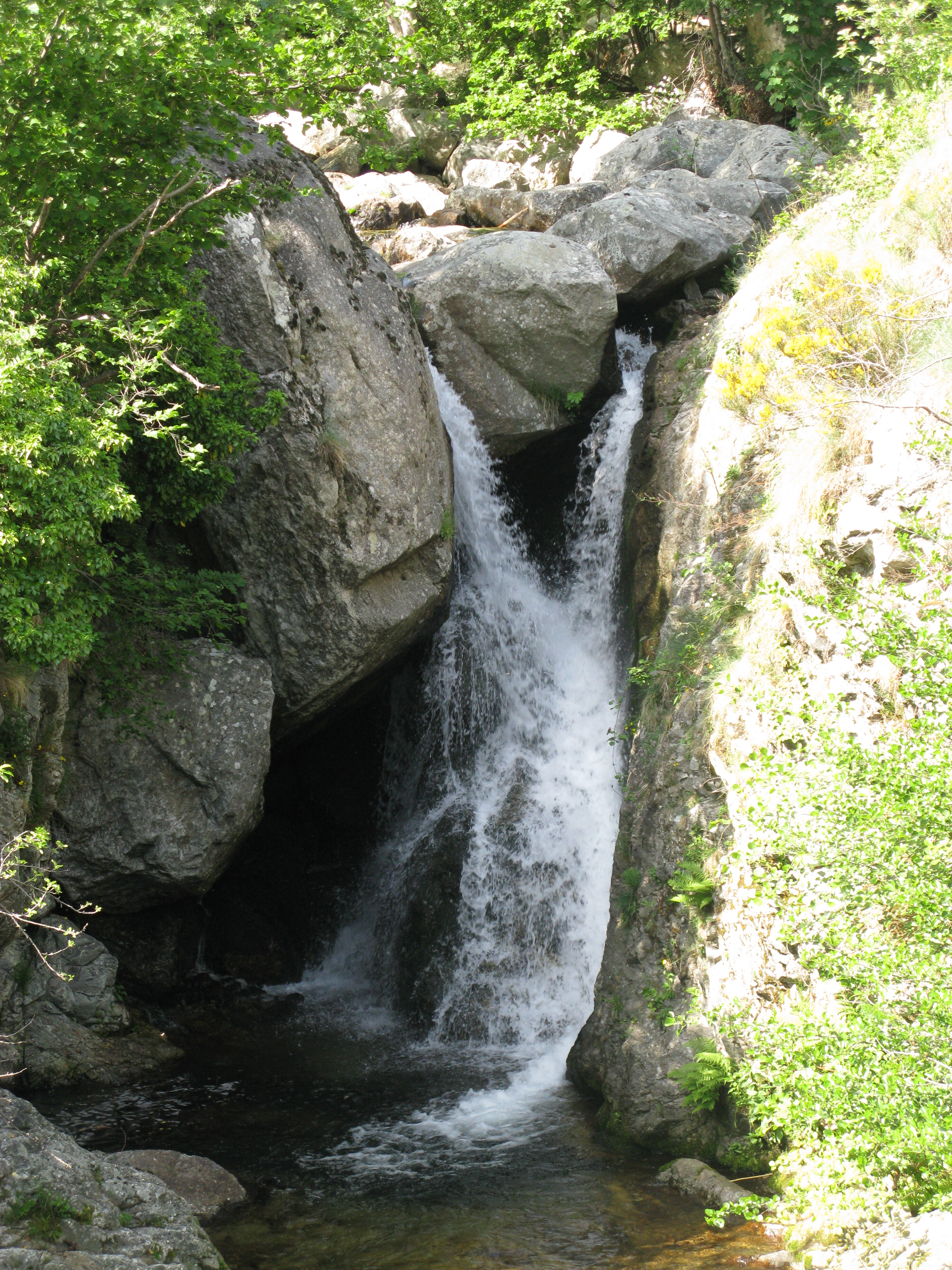
MDM_2075b.jpg
View near La Bombine
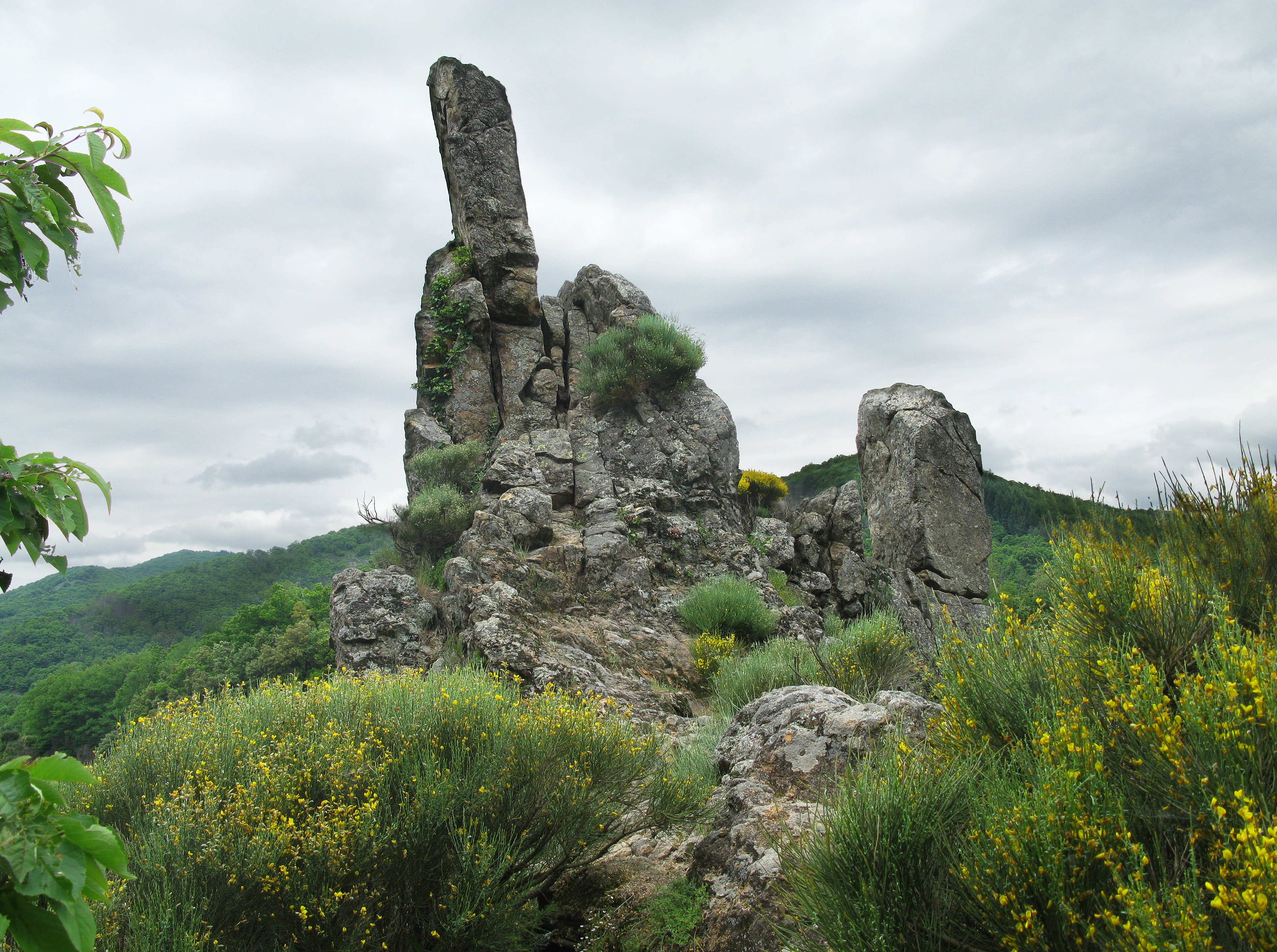
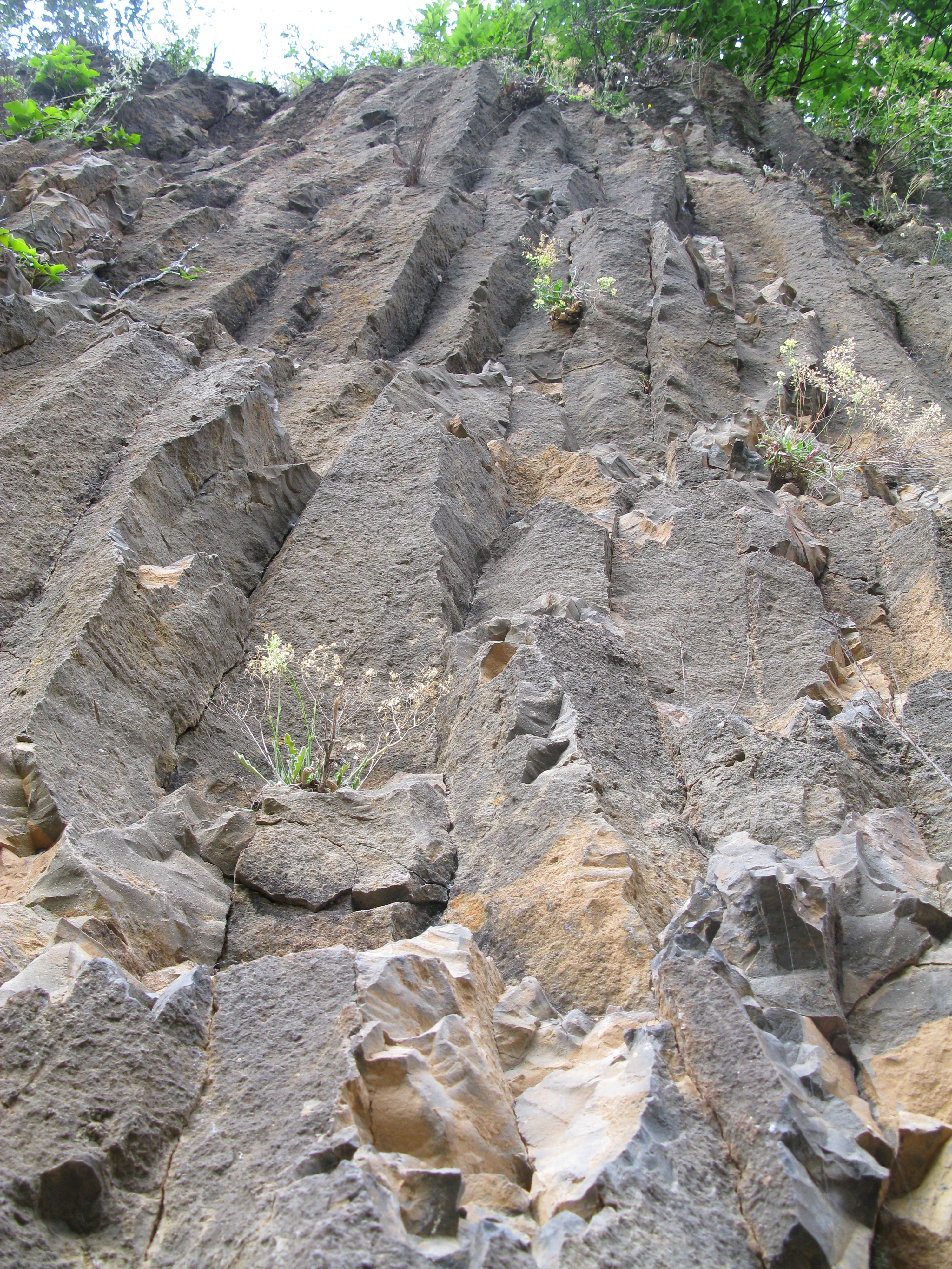
View in the Cevennes
MDM_2069.jpg
MDM_2115.jpg
MDM_2463.jpg
MDM_2088.jpg
MDM_2091_pano.jpg
MDM_2103.jpg
Topographic Map of La Croix de Bauzon, Borne, France
Find elevation by address:

Places near La Croix de Bauzon, Borne, France:
Borne
Sablières
1 La Jaujon, Lablachère, France
Lablachère
Prévenchères
Les Vans
12 Le Gras O, Les Vans, France
88 Avenue du Puy, Pradelles, France
Pradelles
Berrias-et-casteljau
Alleyrac
Le Bourg, Alleyrac, France
Malbosc
Génolhac
Peyremale
20 Jean-Pierre Chabrol, Génolhac, France
Saint-jean-la-fouillouse
5248f
Cussac-sur-loire
Mont Lozère
Recent Searches:
- Elevation of Corso Fratelli Cairoli, 35, Macerata MC, Italy
- Elevation of Tallevast Rd, Sarasota, FL, USA
- Elevation of 4th St E, Sonoma, CA, USA
- Elevation of Black Hollow Rd, Pennsdale, PA, USA
- Elevation of Oakland Ave, Williamsport, PA, USA
- Elevation of Pedrógão Grande, Portugal
- Elevation of Klee Dr, Martinsburg, WV, USA
- Elevation of Via Roma, Pieranica CR, Italy
- Elevation of Tavkvetili Mountain, Georgia
- Elevation of Hartfords Bluff Cir, Mt Pleasant, SC, USA