Elevation of La Clytte Mountain, Columbia-Shuswap A, BC V0A, Canada
Location: Canada > British Columbia > Columbia-shuswap > Columbia-shuswap A >
Longitude: -117.14833
Latitude: 51.8949999
Elevation: 2813m / 9229feet
Barometric Pressure: 72KPa
Elevation Map:
Satellite Map:
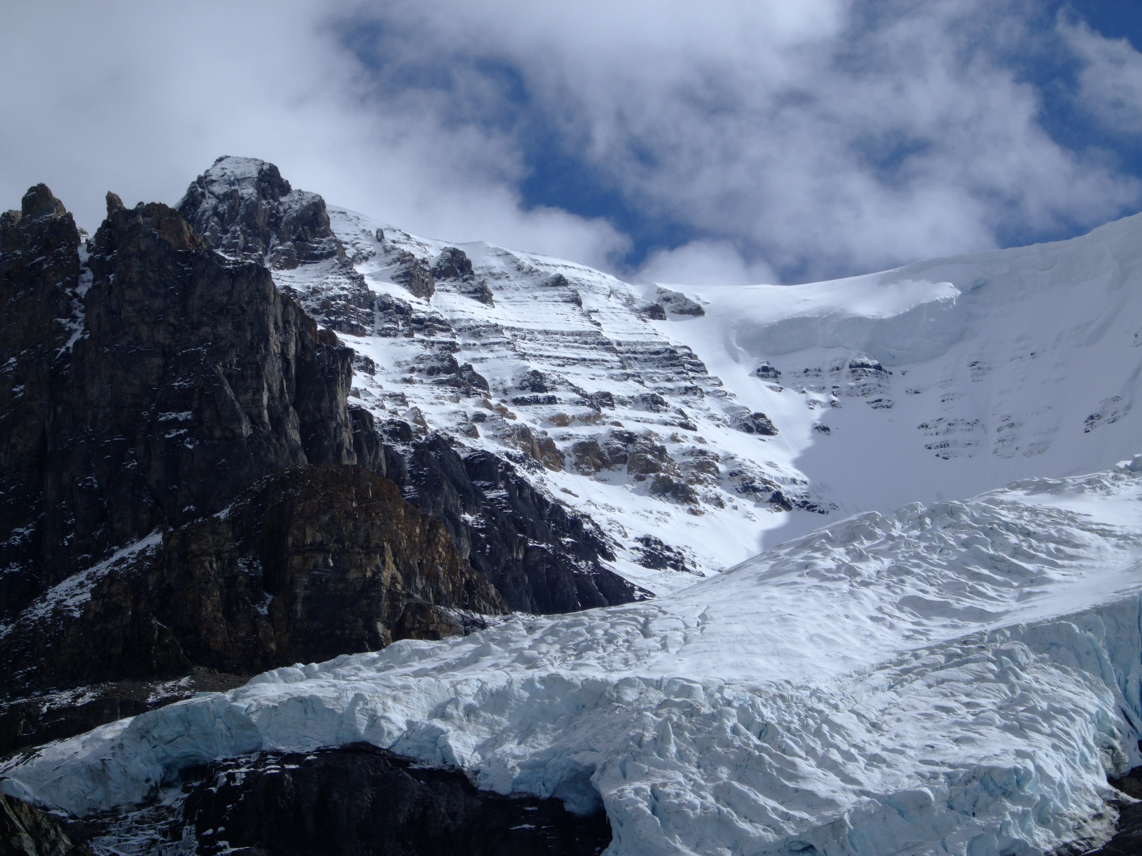
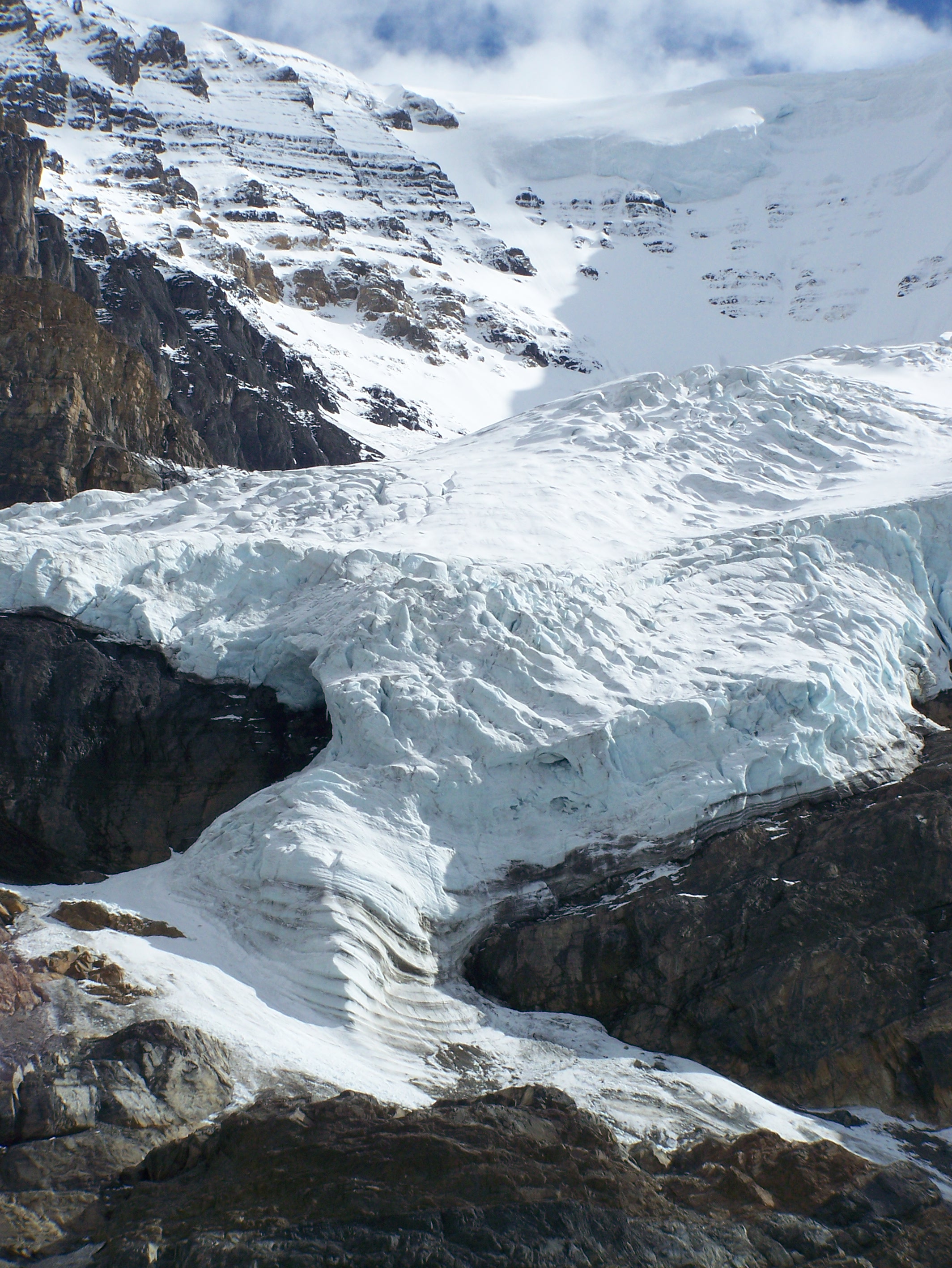
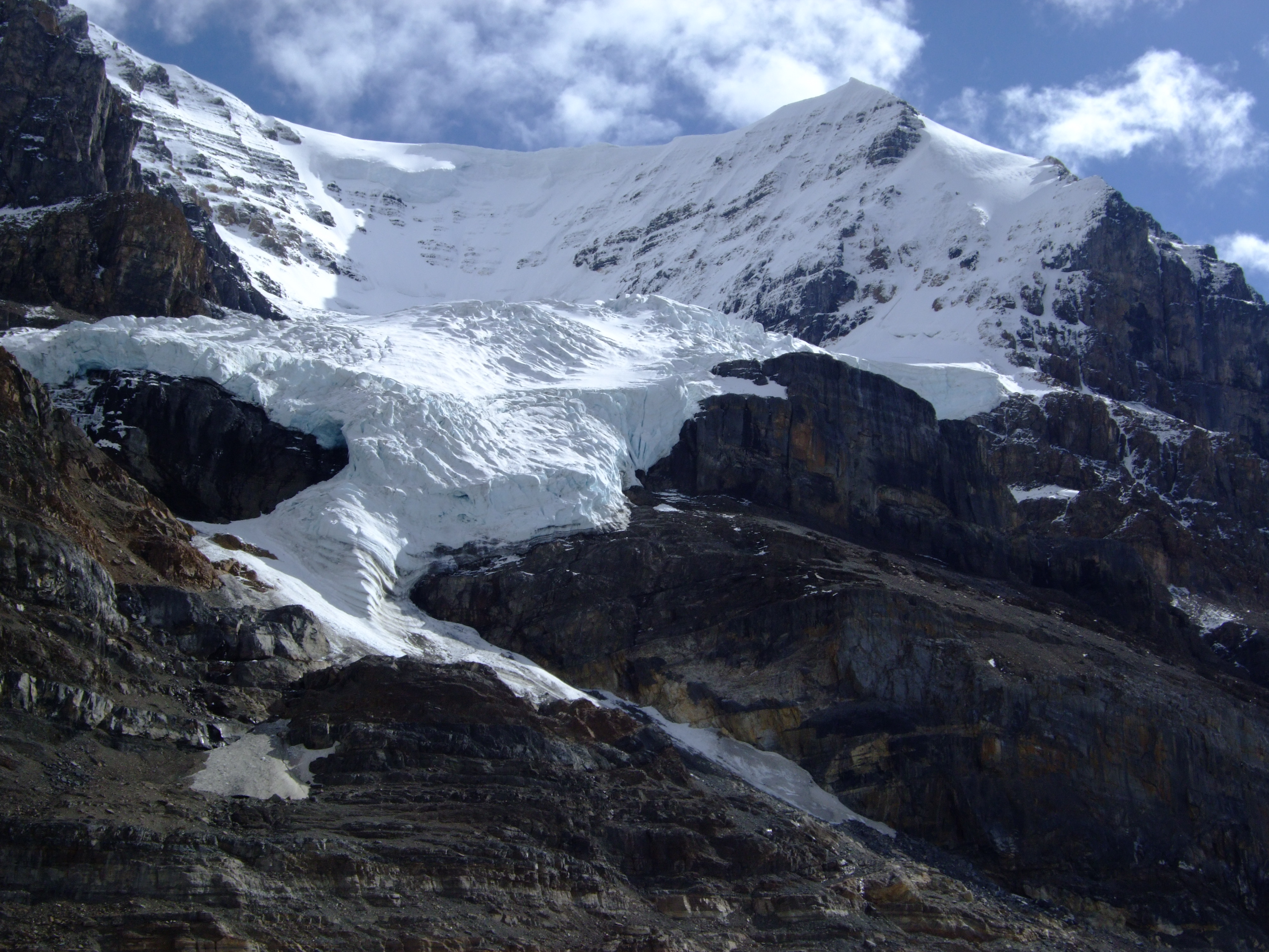
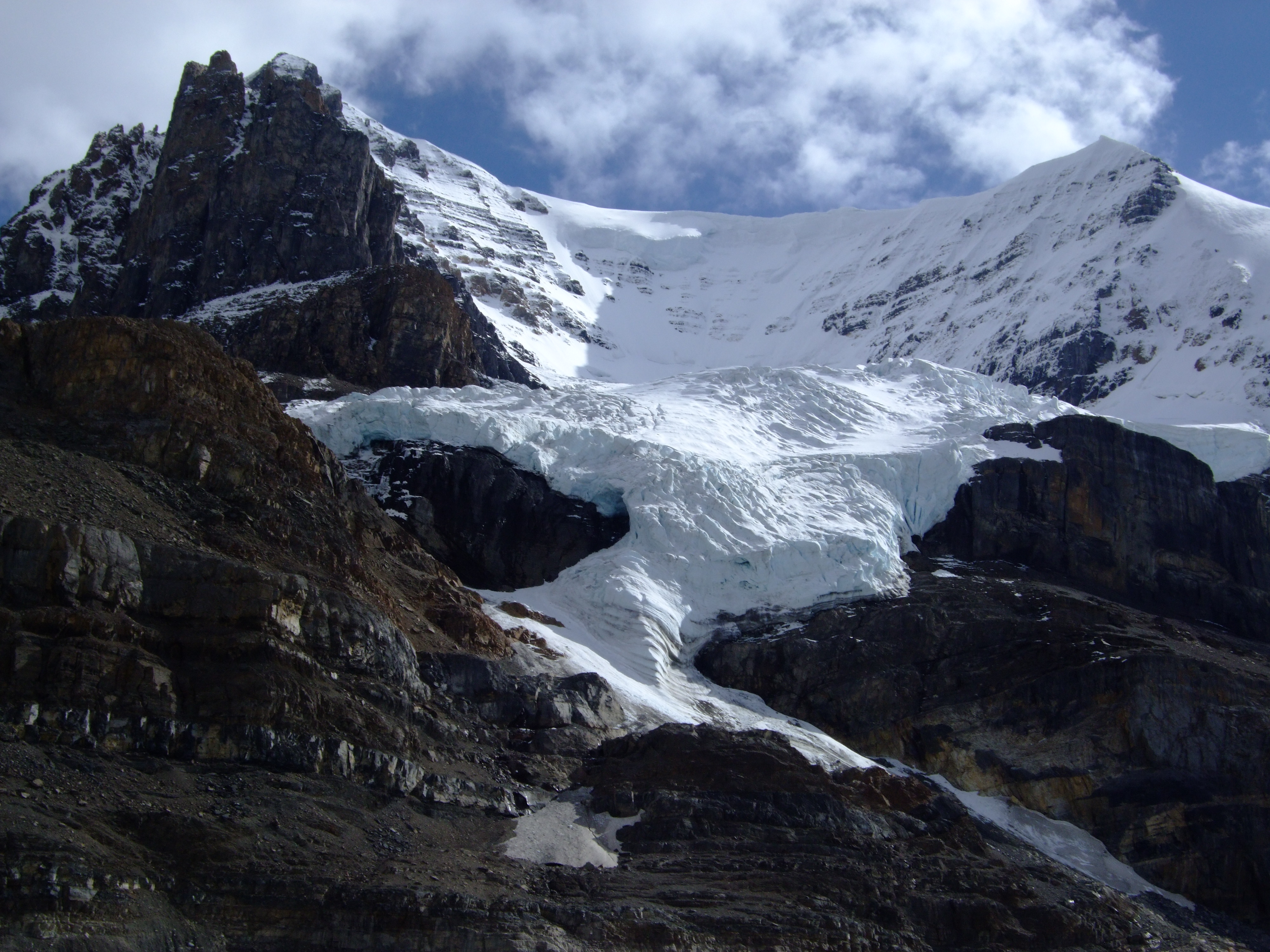
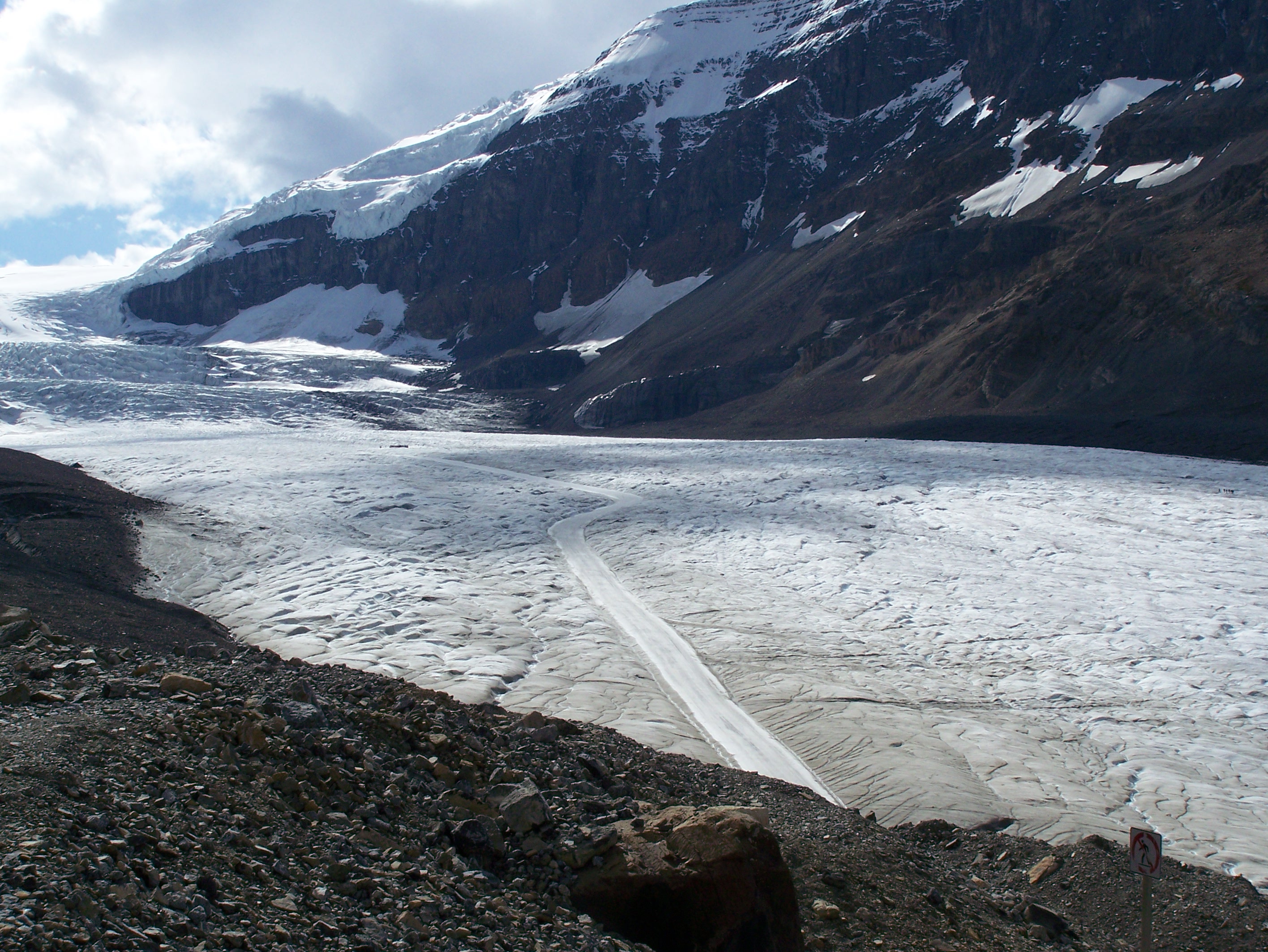
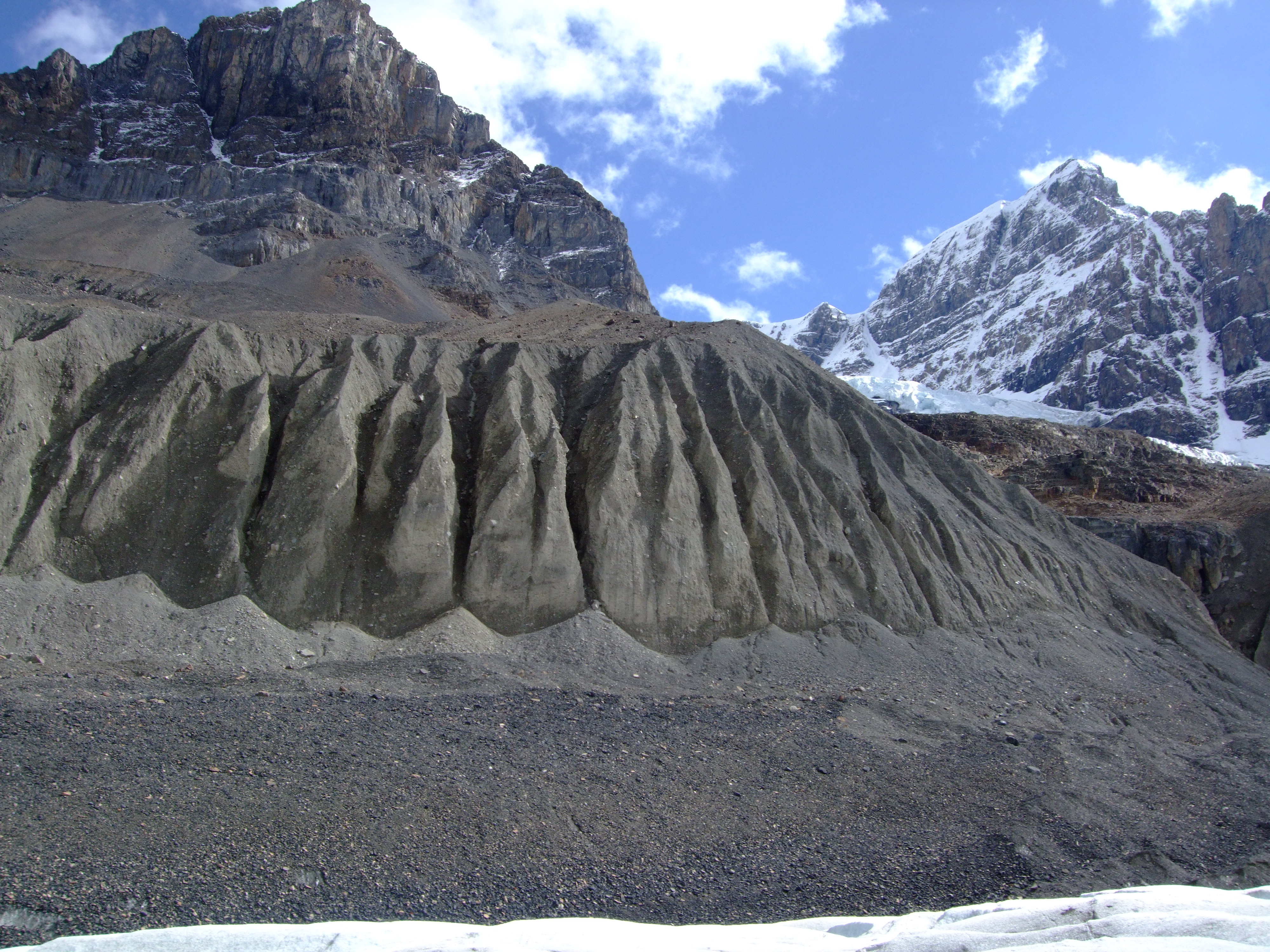
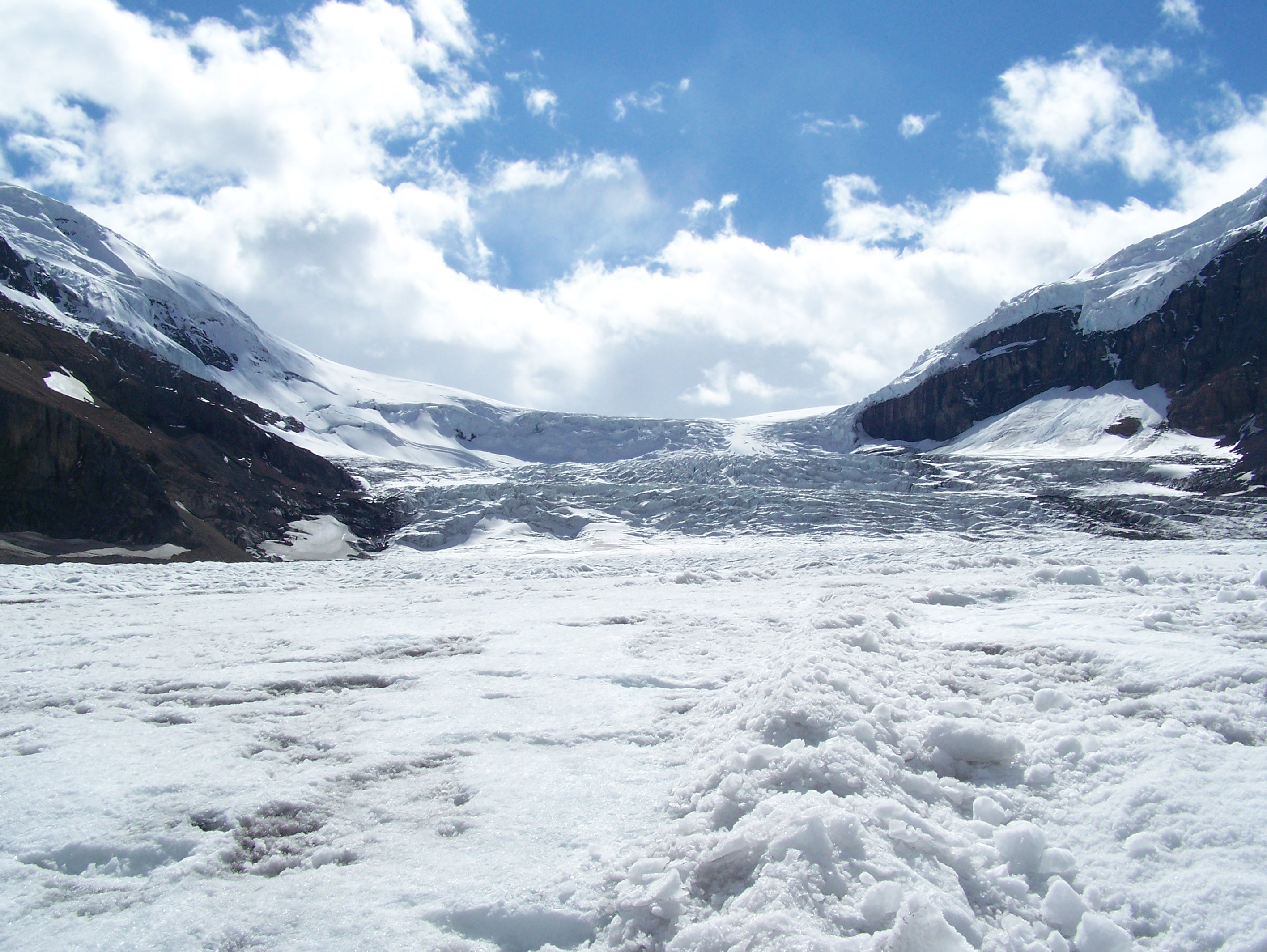
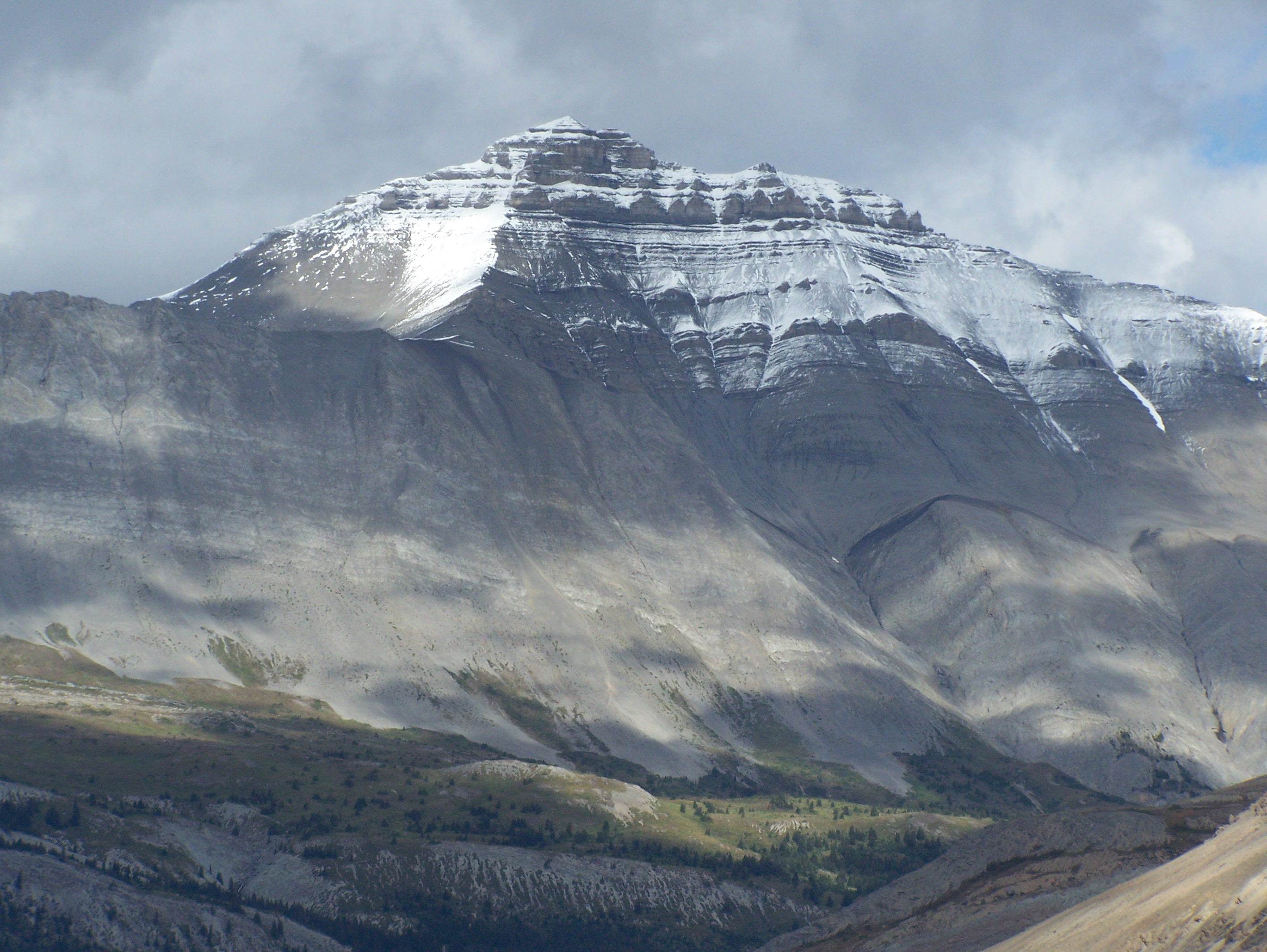
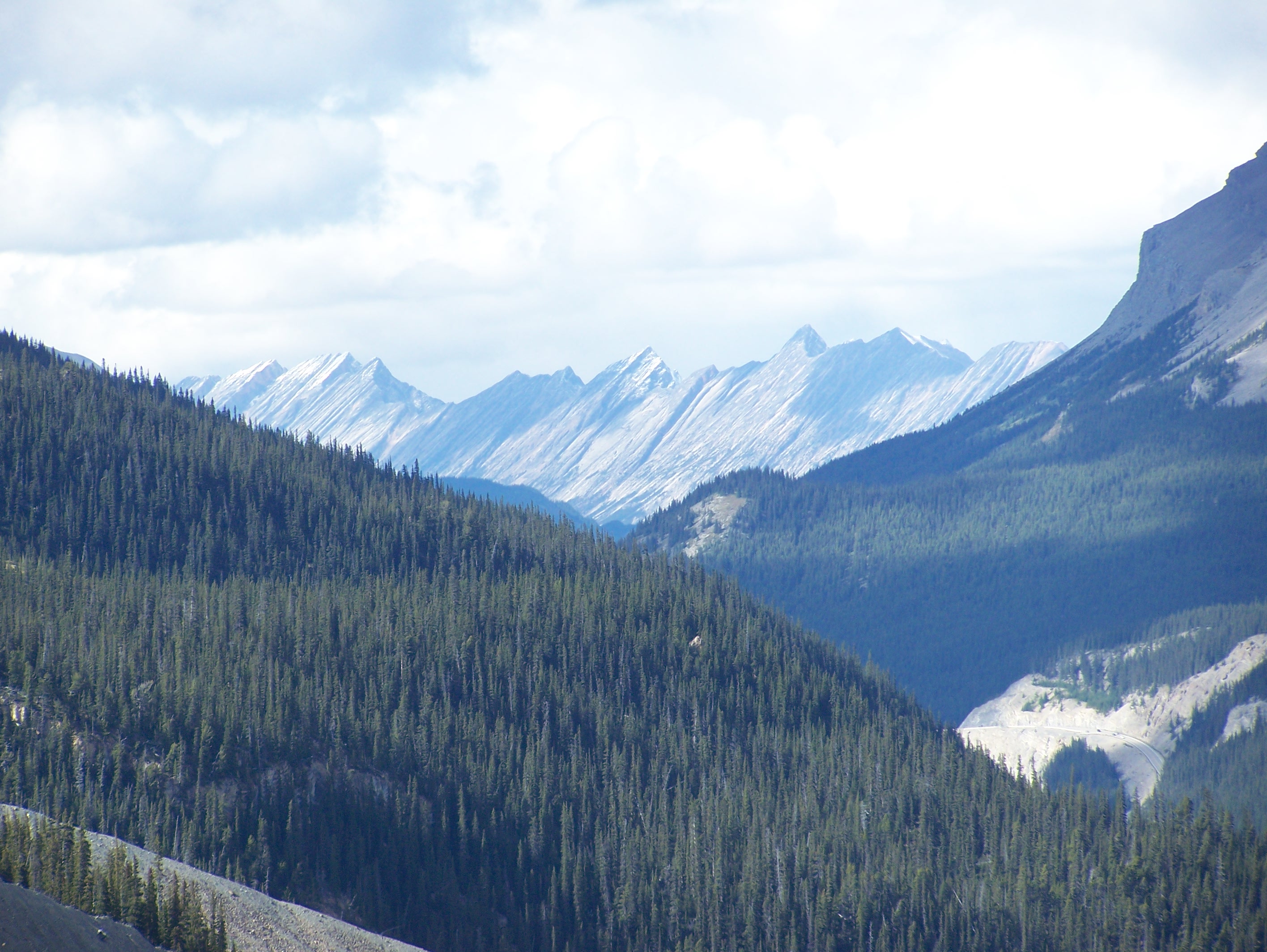
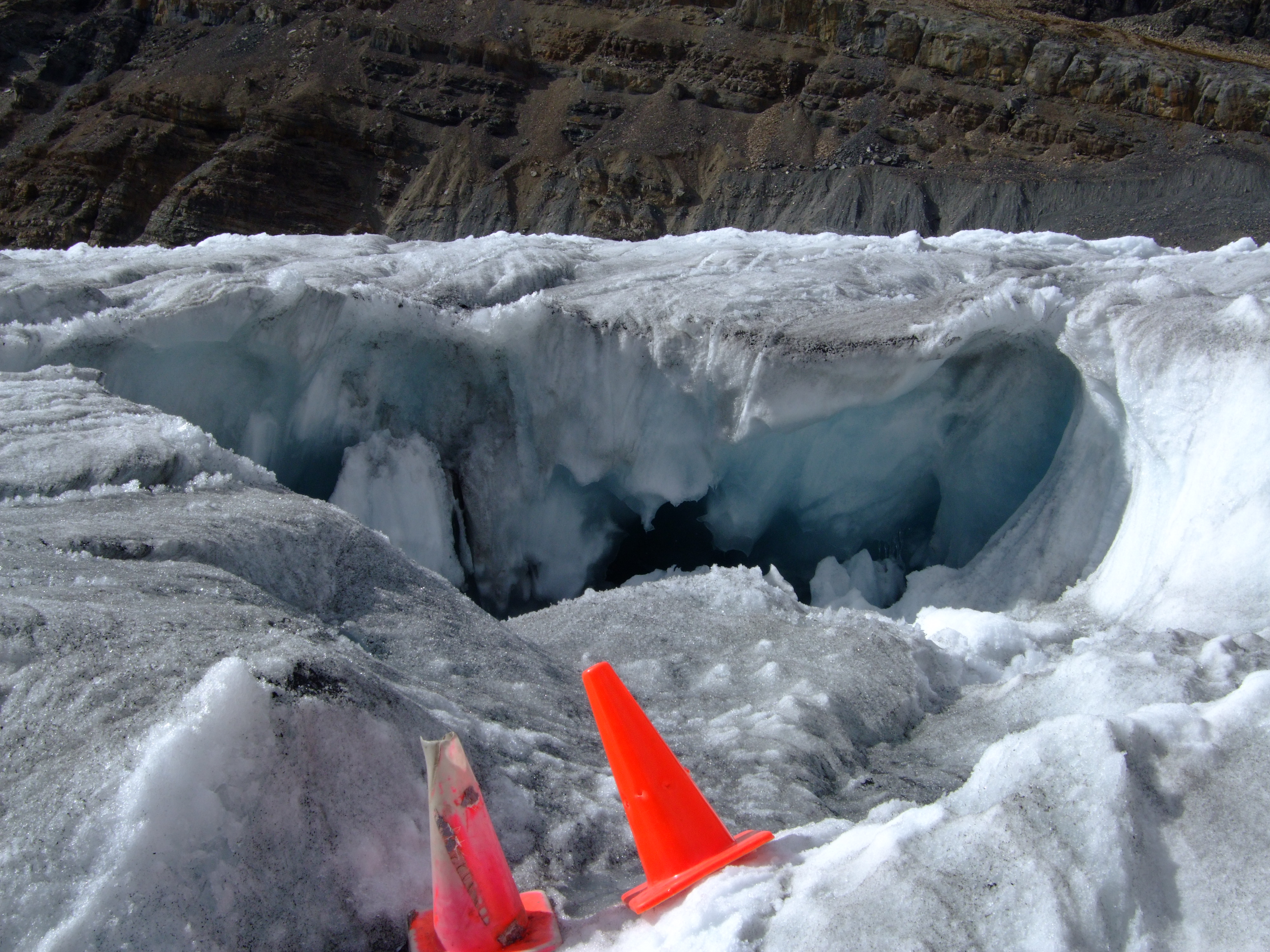
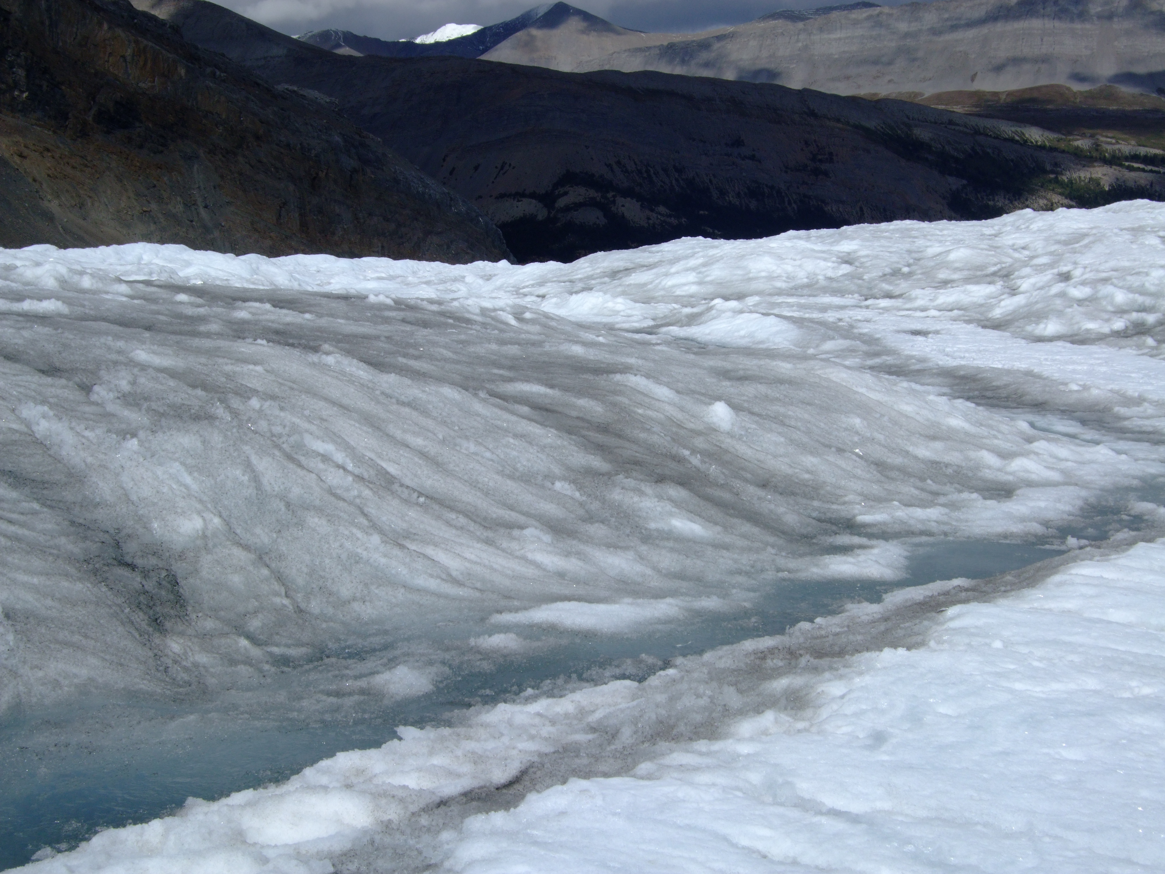
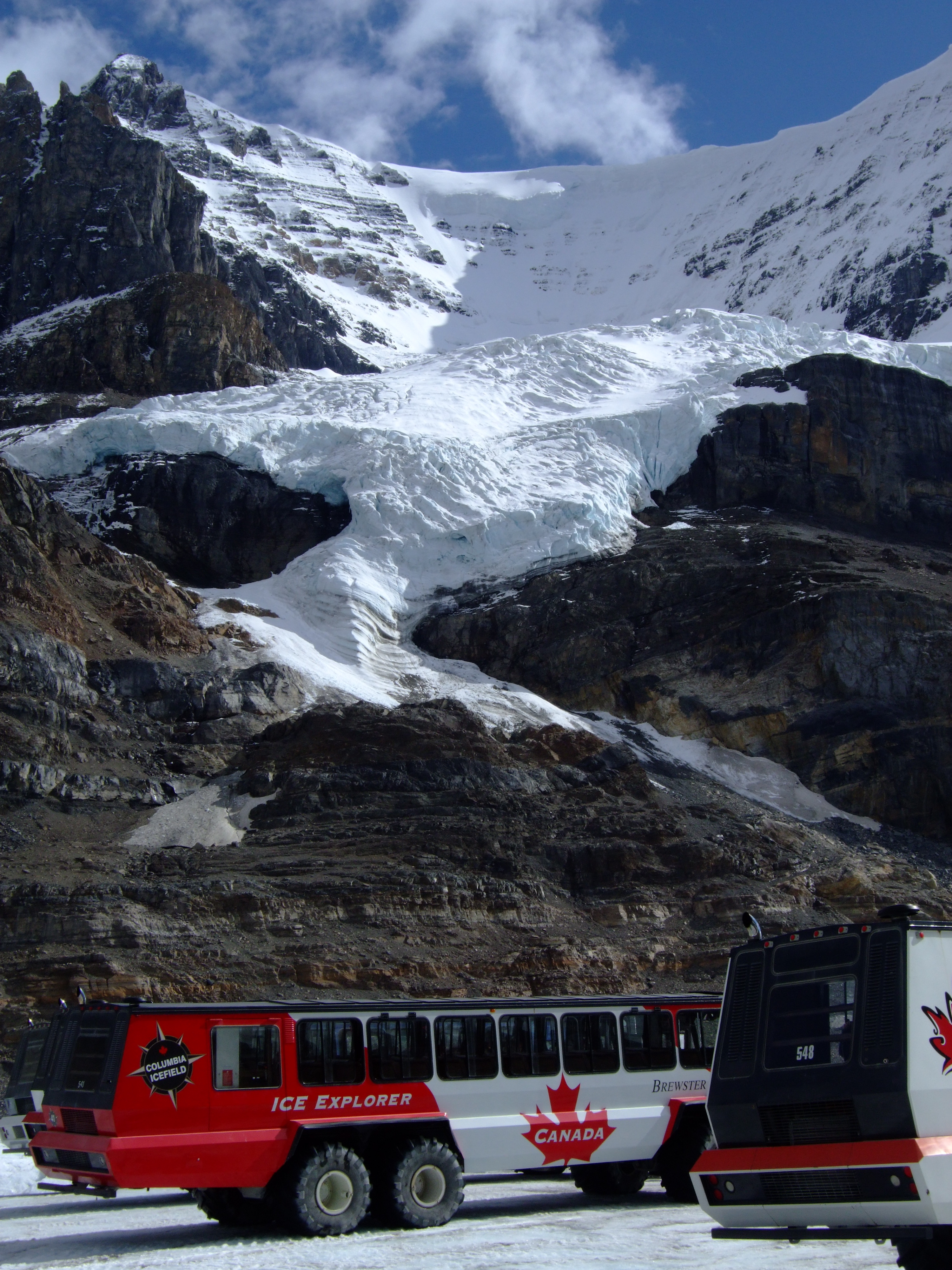
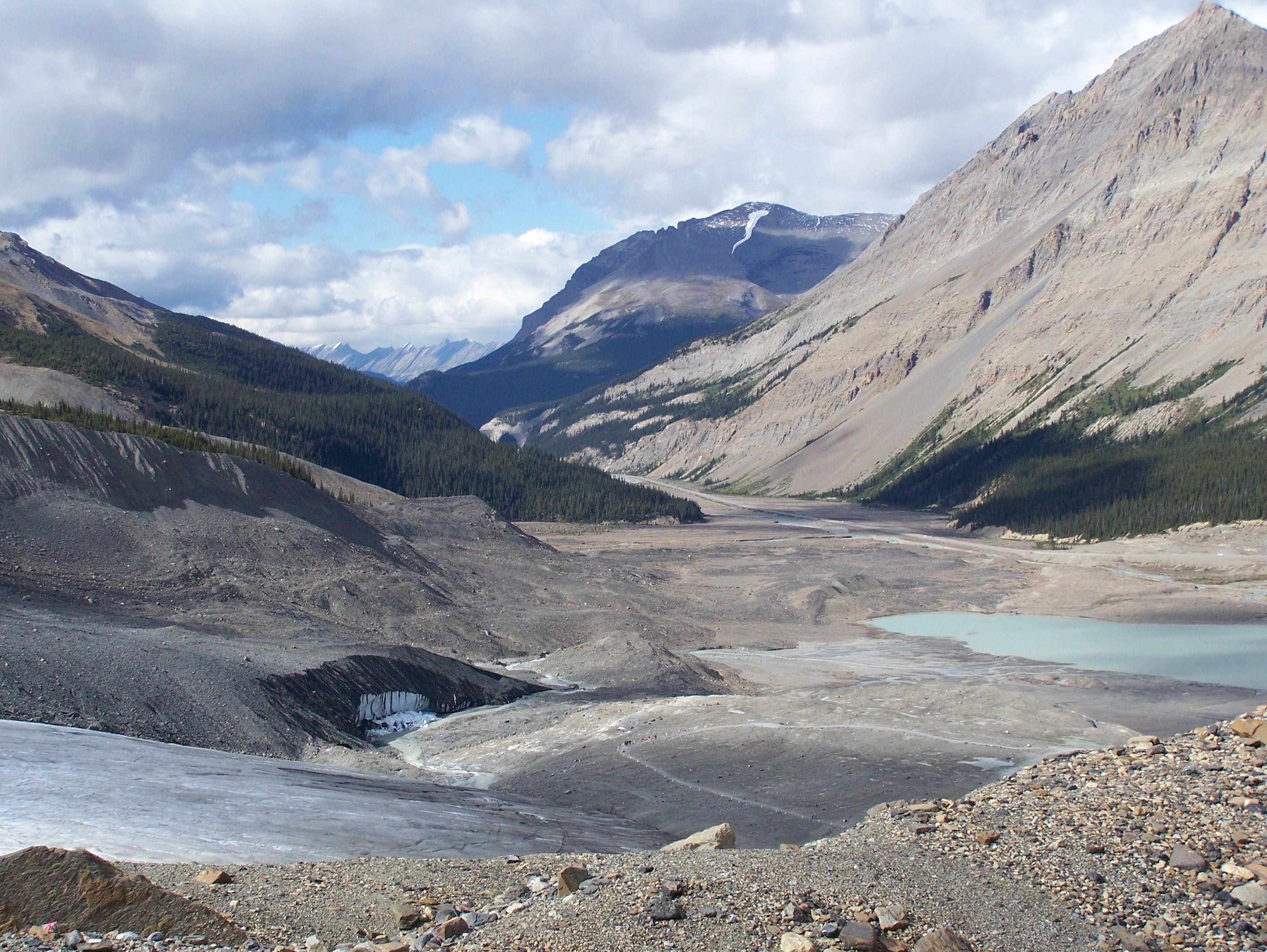
Related Photos:
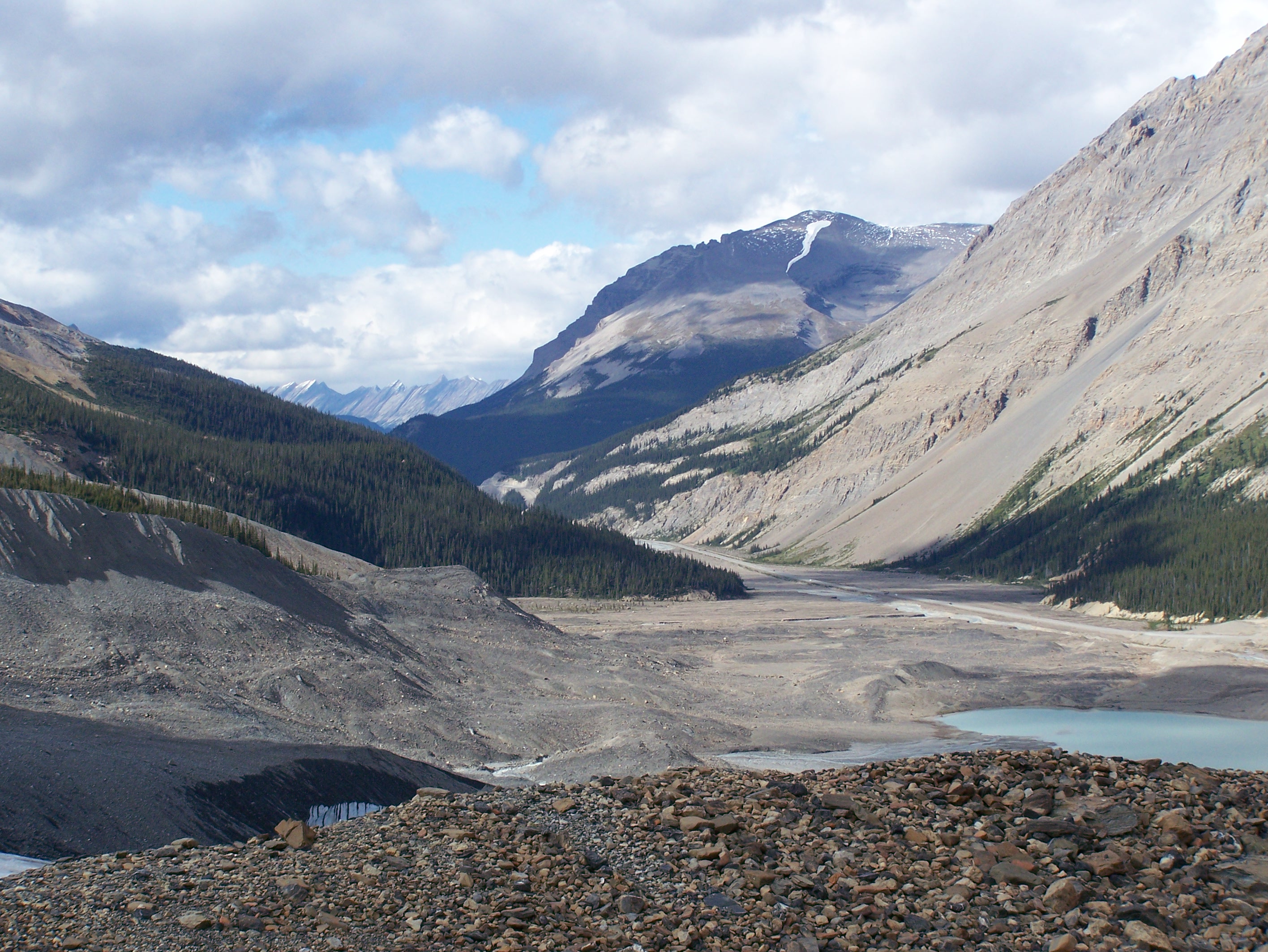
DSCF2040.JPG
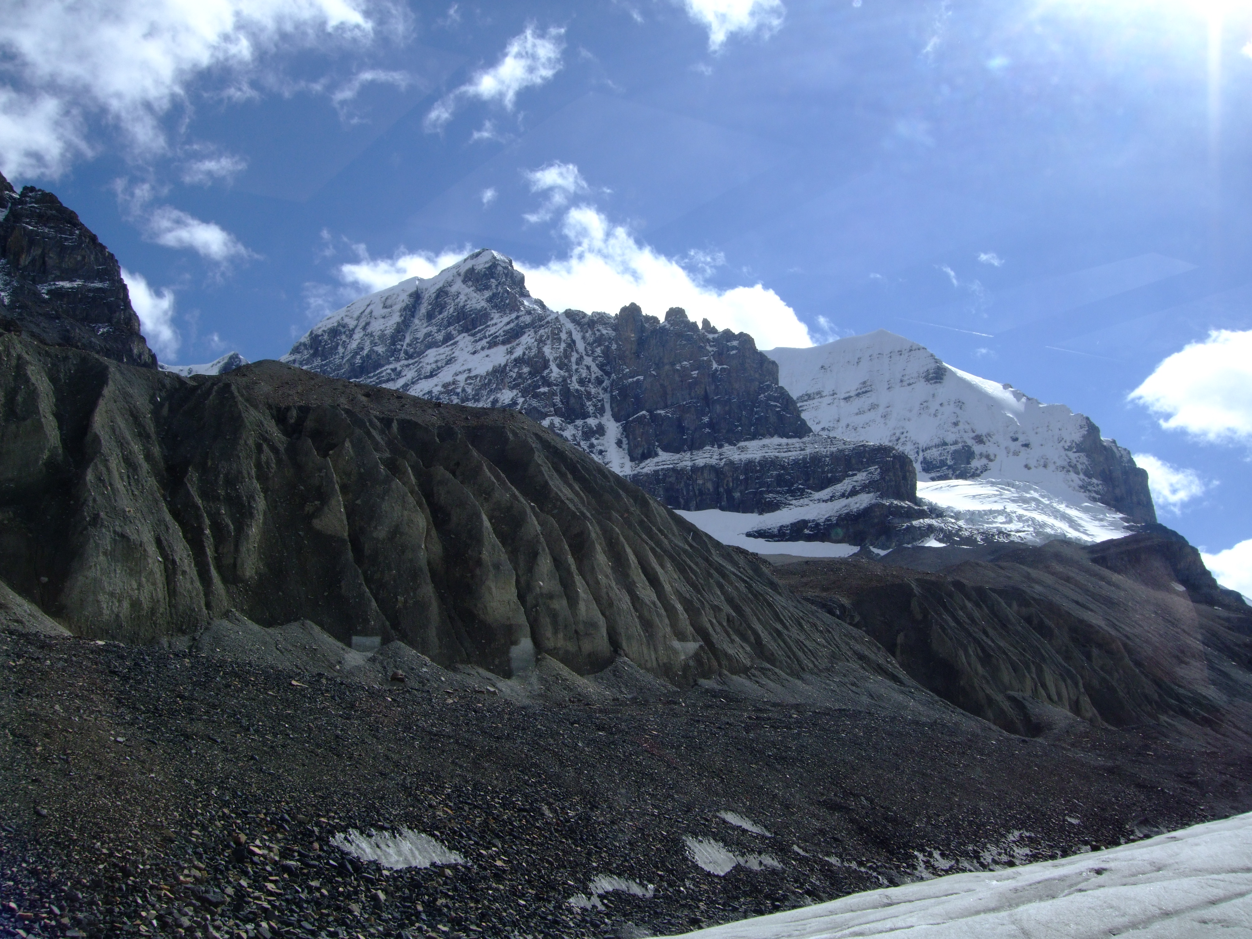
100_0135.JPG
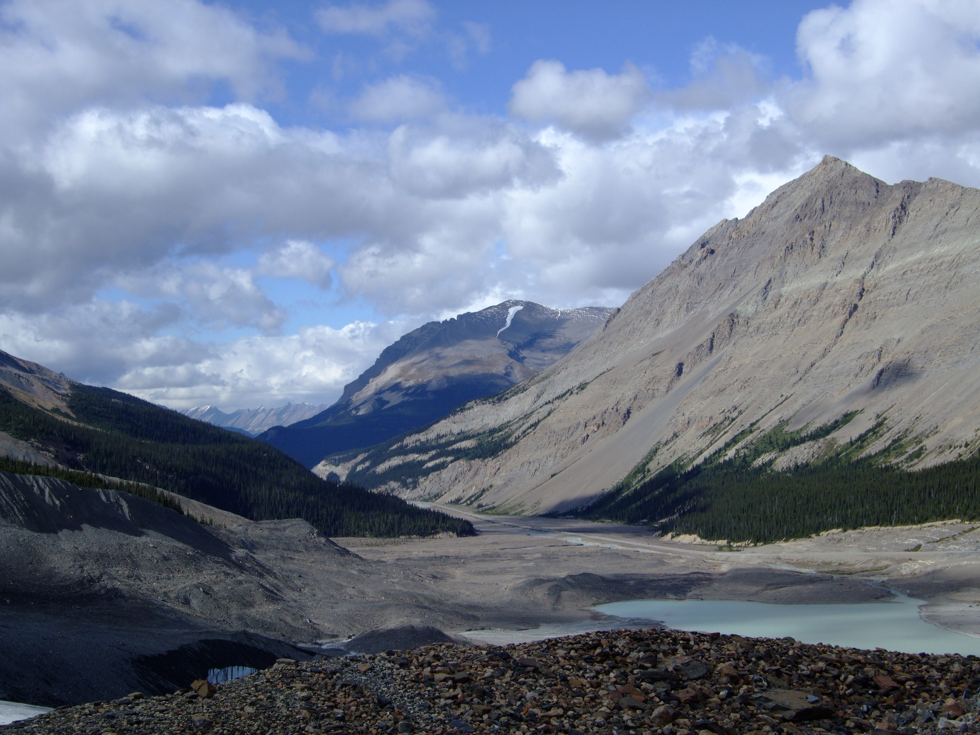
DSCF2027.JPG

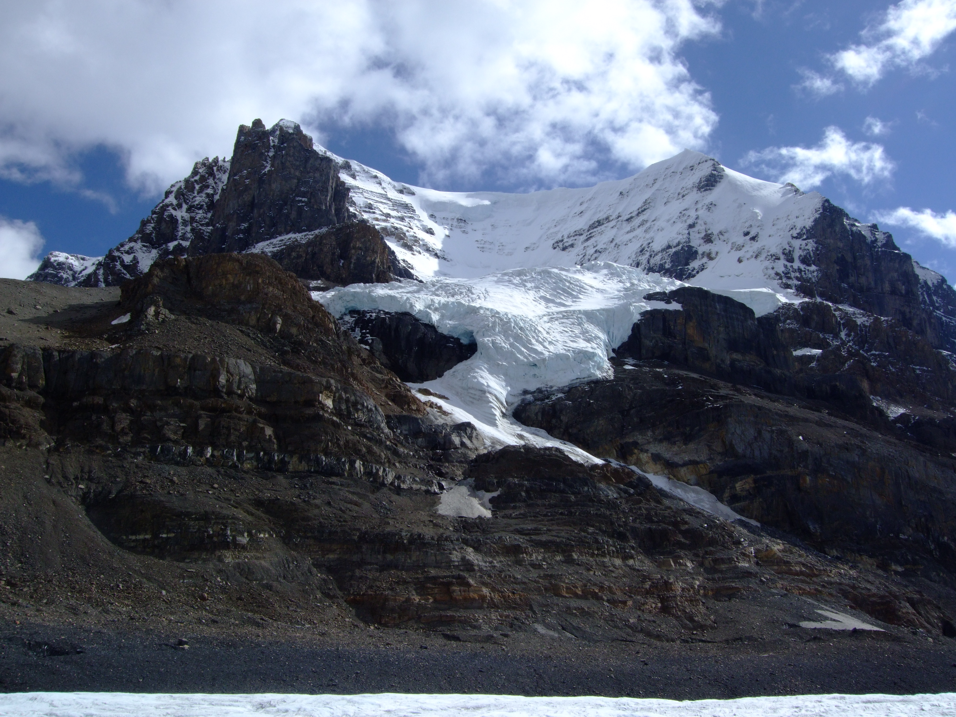
100_0123.JPG

DSCF2023.JPG
DSCF2026.JPG
100_0139.JPG
DSCF2019.JPG
DSCF2049.JPG
DSCF2025.JPG
100_0143.JPG
DSCF2020.JPG
100_0122.JPG
100_0137.JPG
100_0146.JPG
DSCF2034.JPG

Orion Over Icefall Lodge I
DSCF2035.JPG

DSCF2024.JPG
DSCF2037.JPG
100_0142.JPG
Topographic Map of La Clytte Mountain, Columbia-Shuswap A, BC V0A, Canada
Find elevation by address:

Places near La Clytte Mountain, Columbia-Shuswap A, BC V0A, Canada:
Lens Mountain
Kemmel Mountain
Christian Peak
Farbus Mountain
Walter Peak
Oppy Mountain
Mount Alexandra
Whiterose Mountain
Alexandra N1
Fresnoy Mountain
Division Mountain
Ego Mountain
Peak Spring-rice S2
Cockscomb Mountain
Mount Spring-rice
Arctomys Peak
Willerval Mountain
Monchy Mountain
Sullivan Peak
Mount Forbes
Recent Searches:
- Elevation of Corso Fratelli Cairoli, 35, Macerata MC, Italy
- Elevation of Tallevast Rd, Sarasota, FL, USA
- Elevation of 4th St E, Sonoma, CA, USA
- Elevation of Black Hollow Rd, Pennsdale, PA, USA
- Elevation of Oakland Ave, Williamsport, PA, USA
- Elevation of Pedrógão Grande, Portugal
- Elevation of Klee Dr, Martinsburg, WV, USA
- Elevation of Via Roma, Pieranica CR, Italy
- Elevation of Tavkvetili Mountain, Georgia
- Elevation of Hartfords Bluff Cir, Mt Pleasant, SC, USA