Elevation map of La Côte-de-Gaspé Regional County Municipality, QC, Canada
Location: Canada > Québec >
Longitude: -64.519331
Latitude: 48.9741791
Elevation: 304m / 997feet
Barometric Pressure: 98KPa
Elevation Map:
Satellite Map:
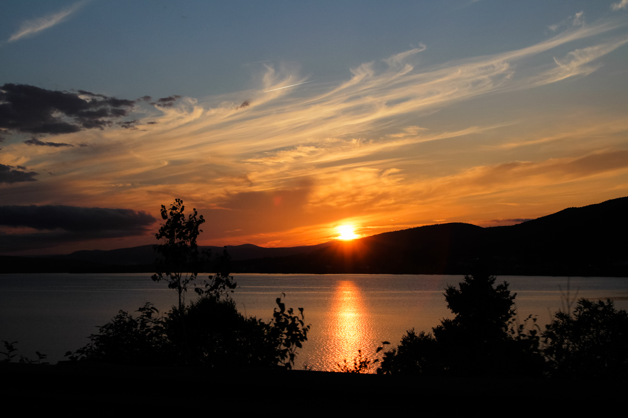
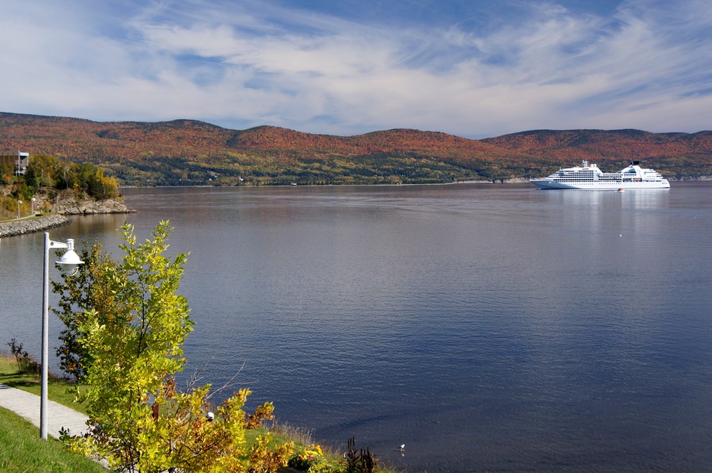
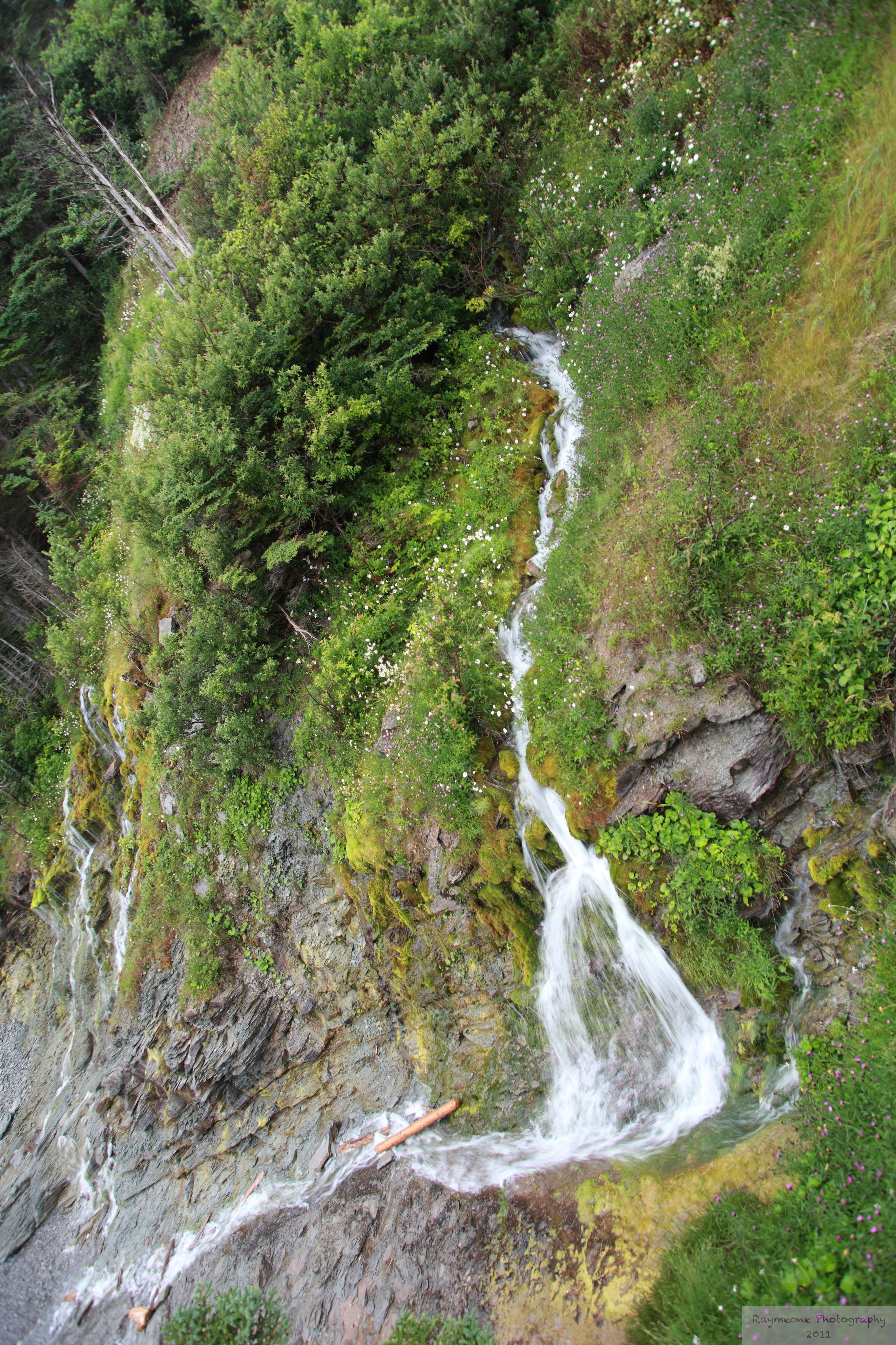
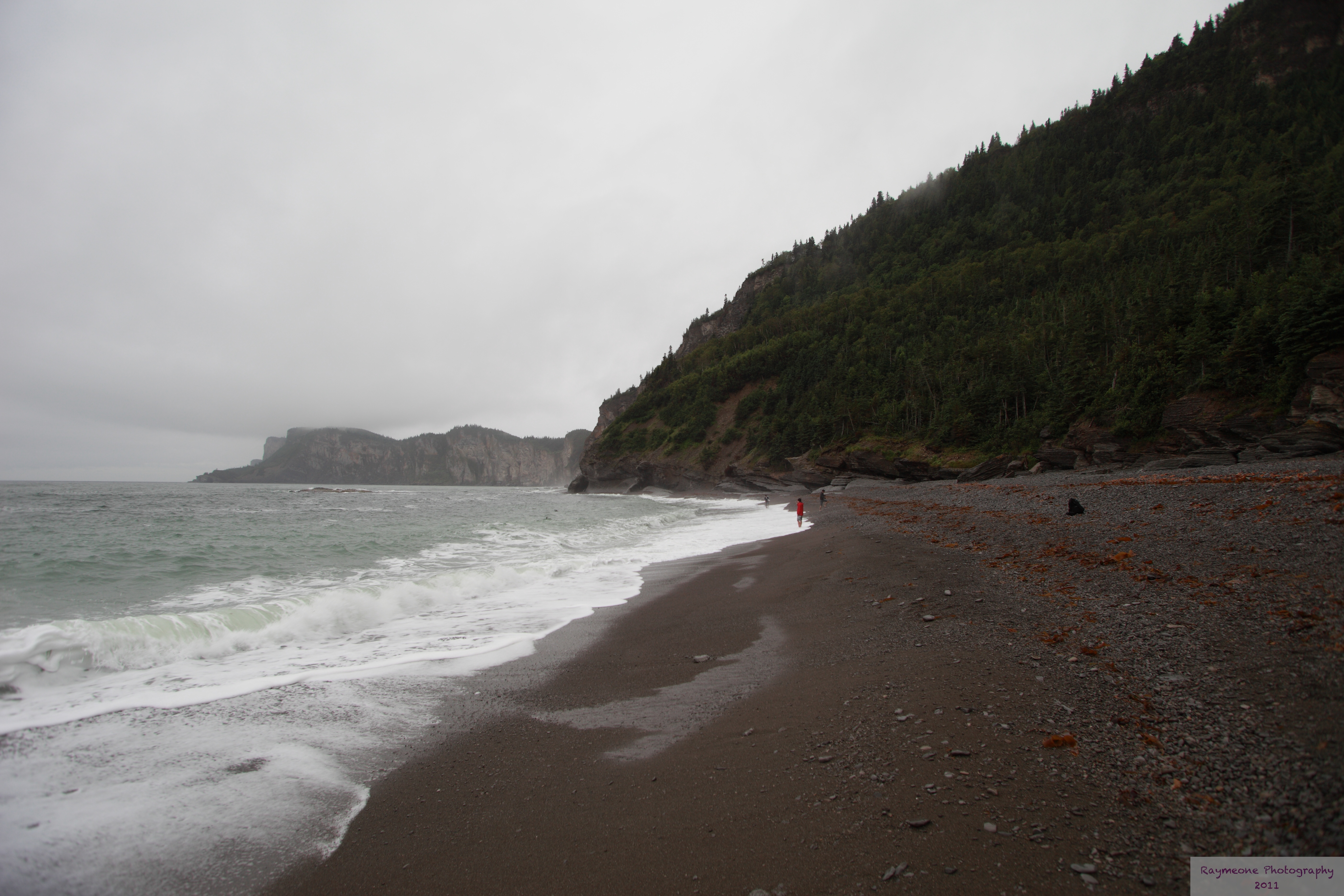
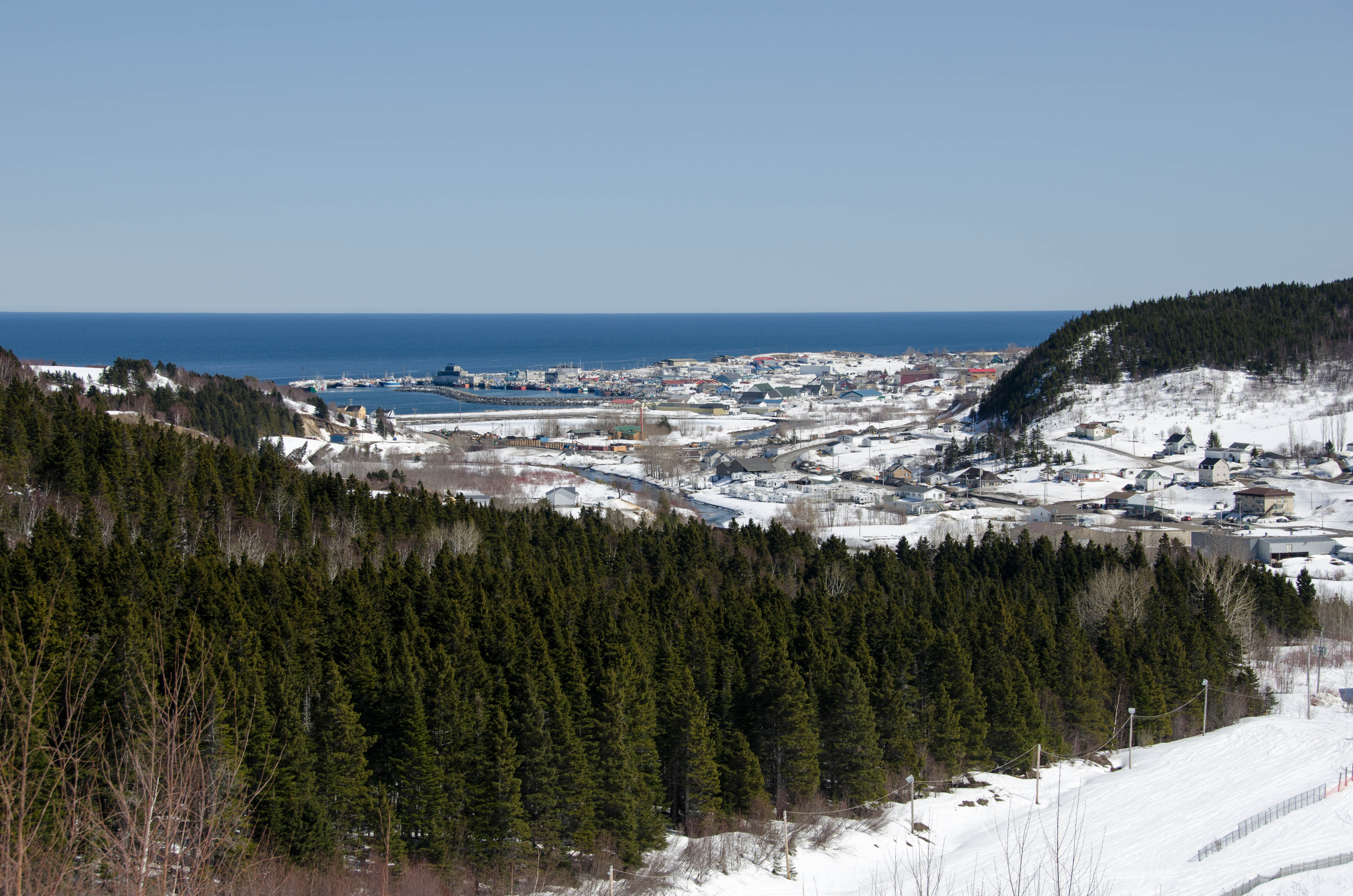
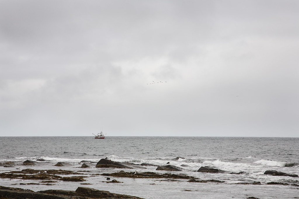
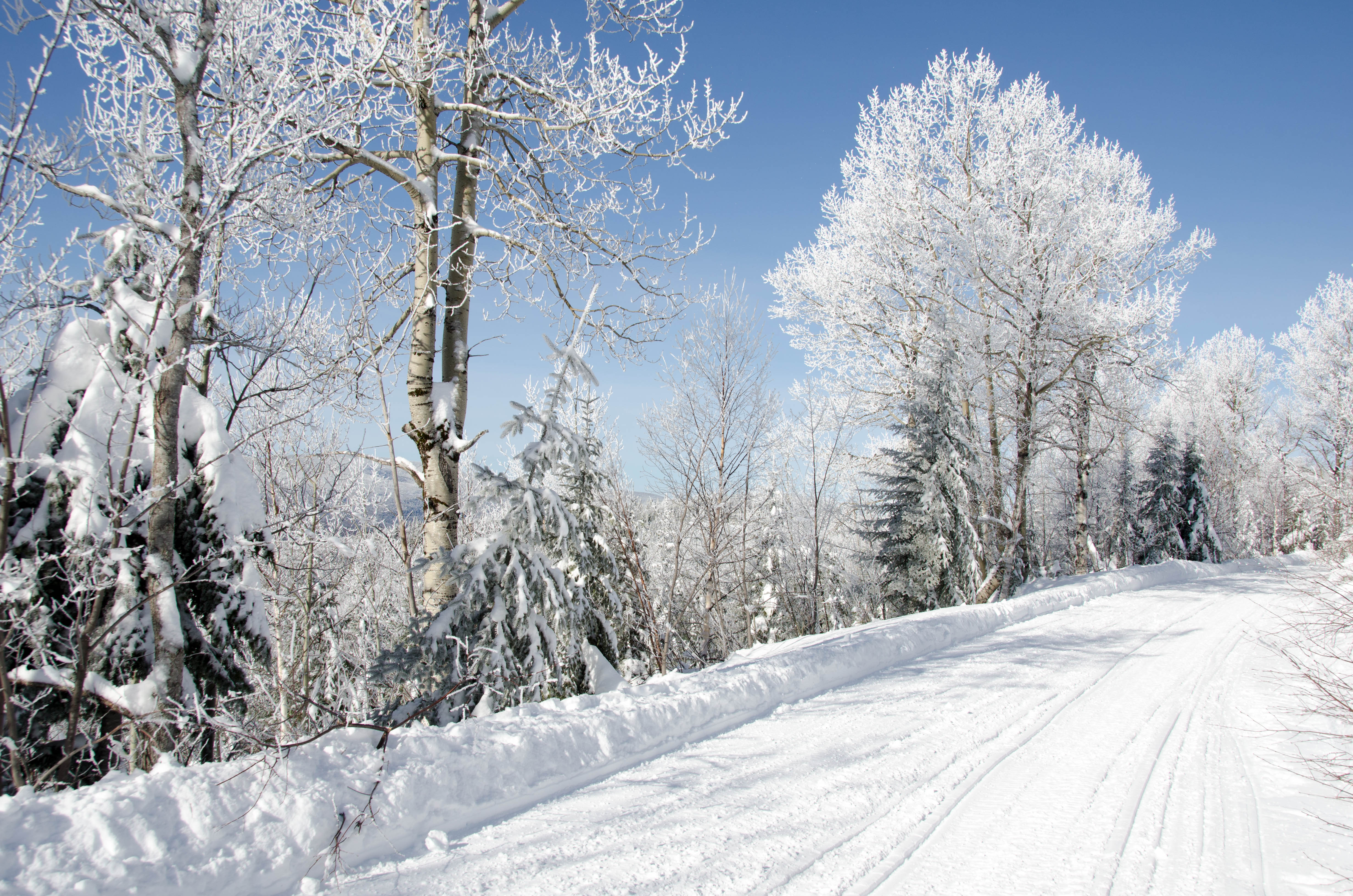
Related Photos:
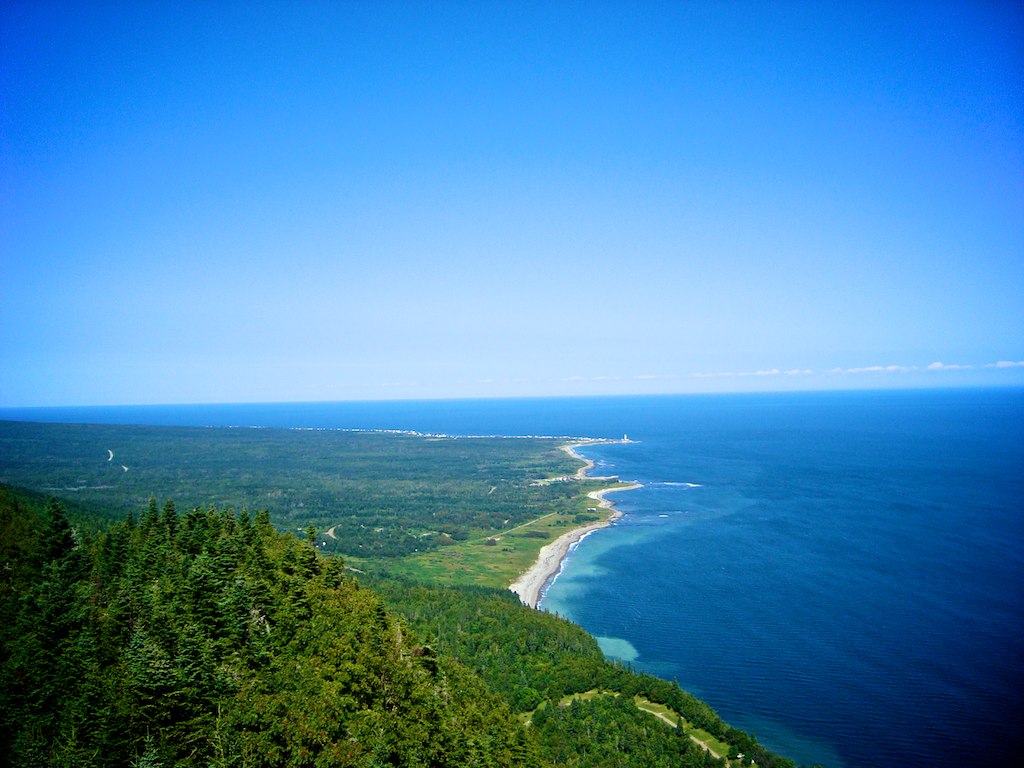
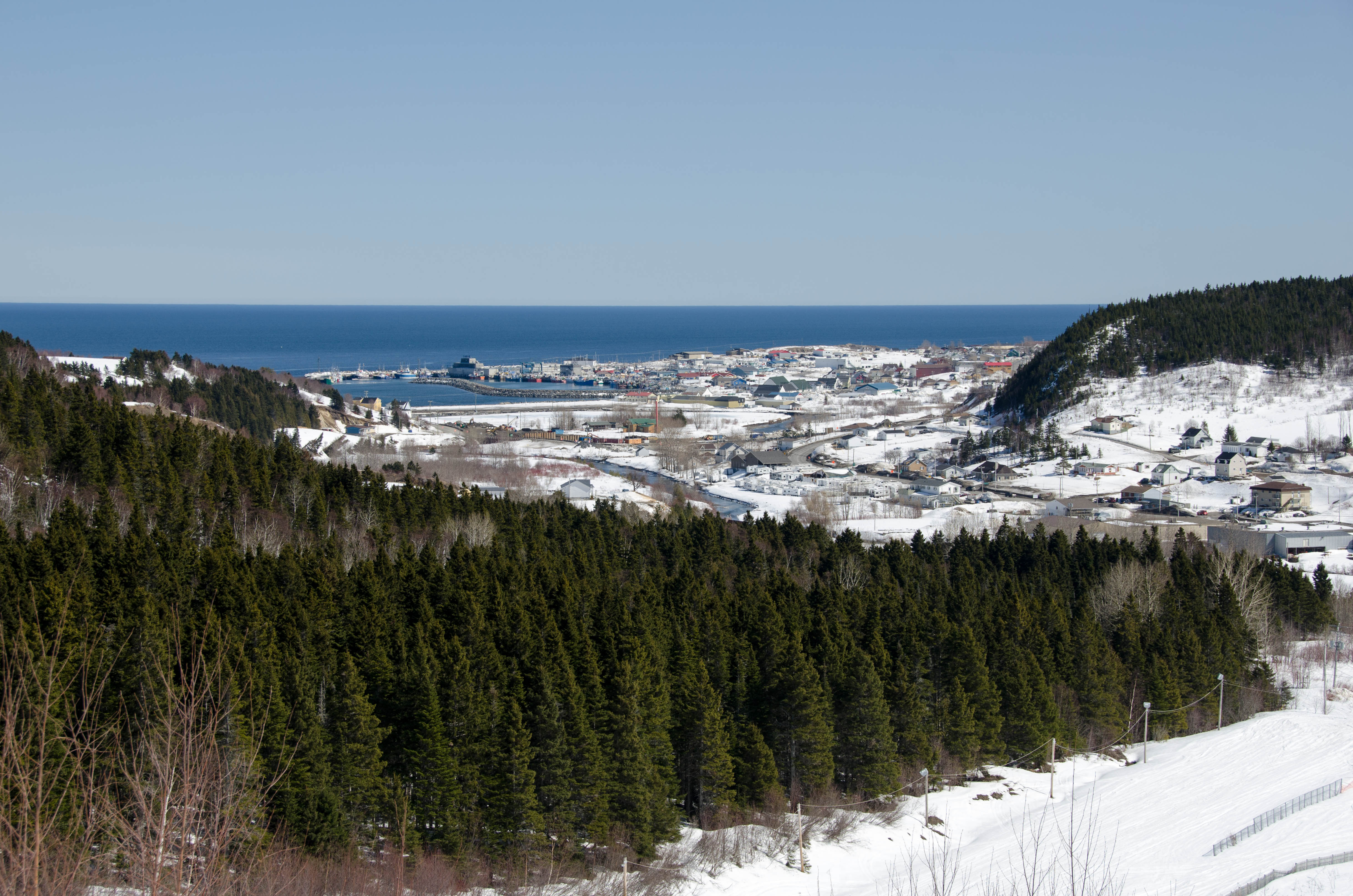
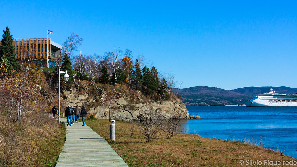
Gaspe View 1
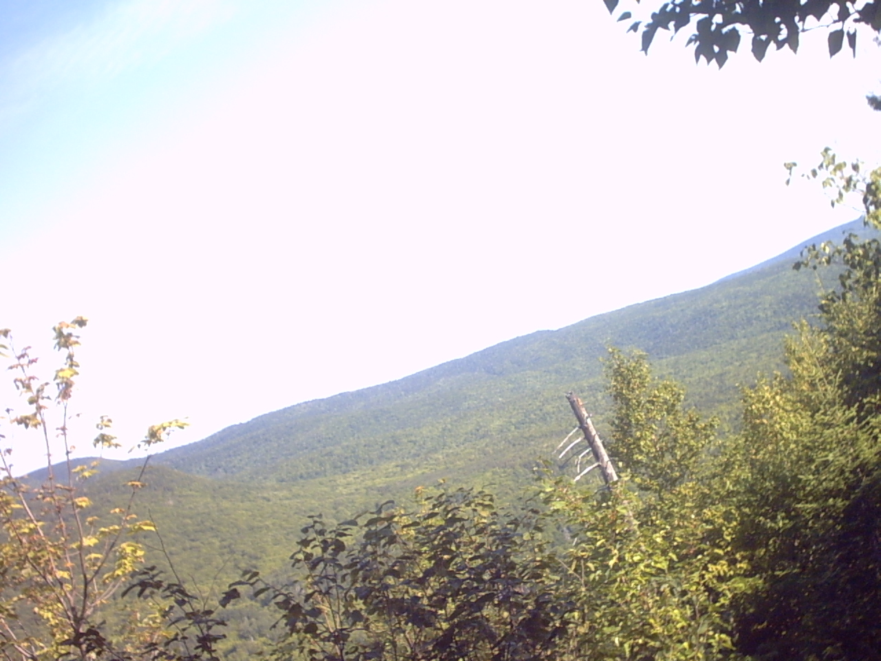
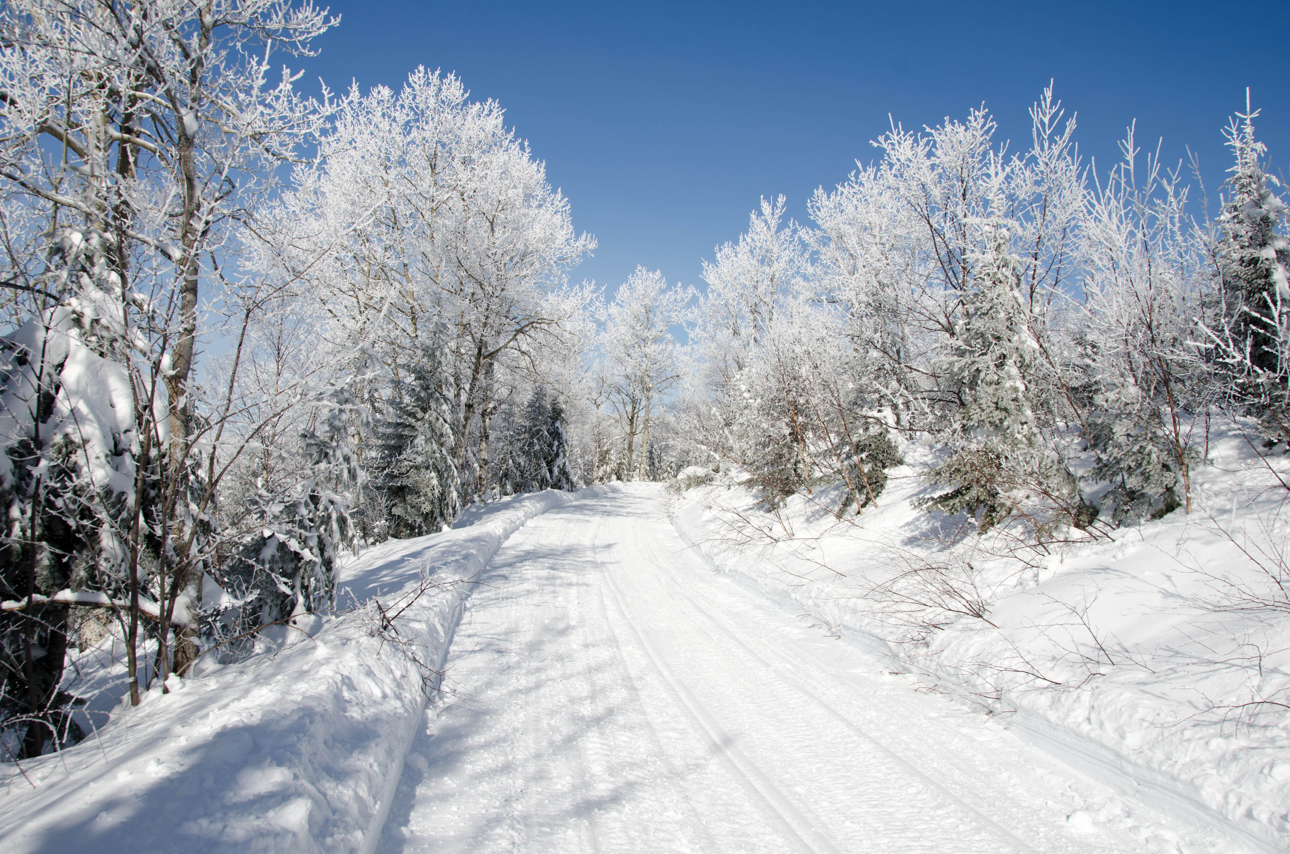
view from les cretes trail
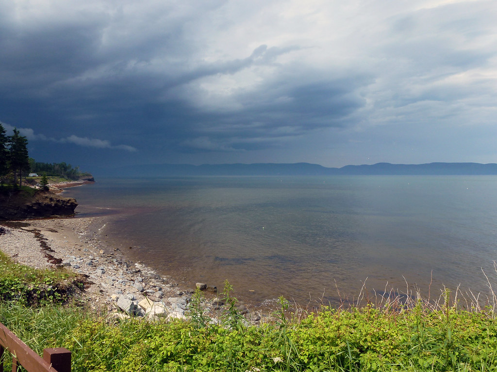
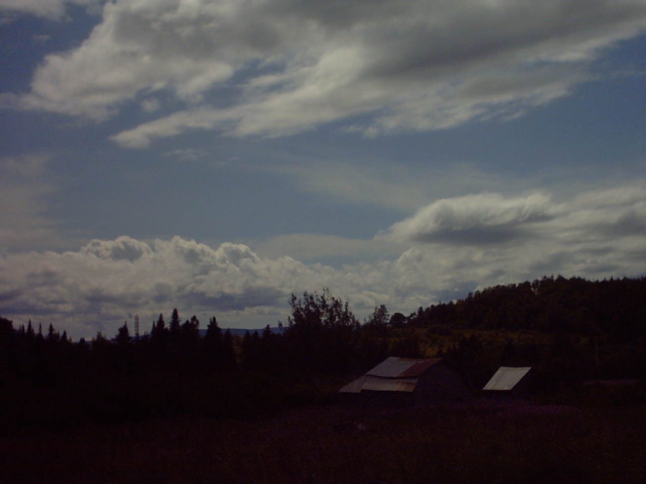
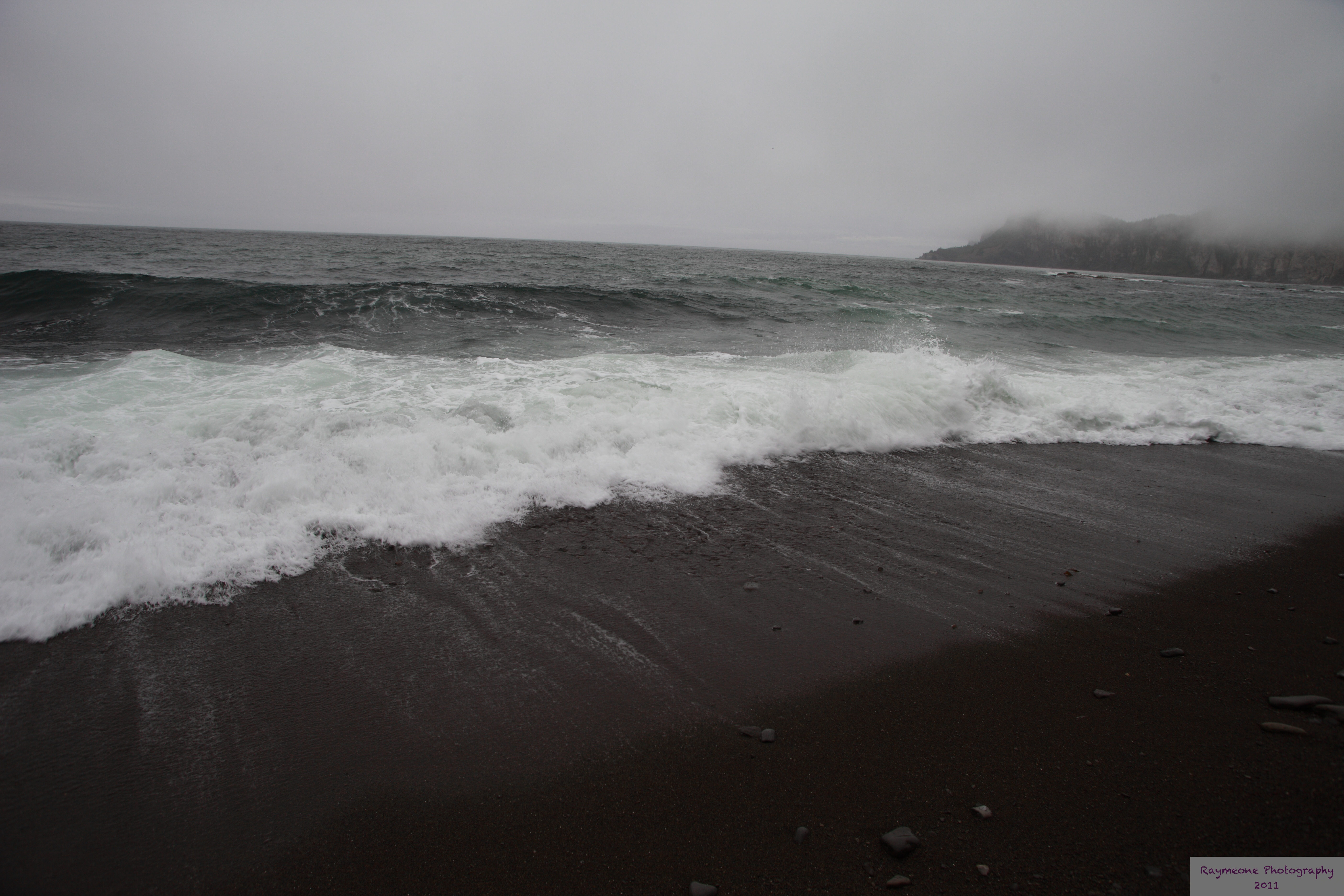
Calme avant la tempête à Gaspé
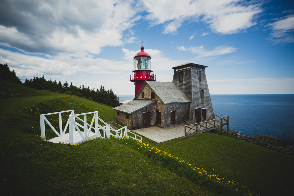
Phare de Pointe-à-la-Renommée

0074-IMG_3_0750p

Sunrise over Rivière-au-Renard
bestof 2012-08-03to10 Roadtrip Gaspésie-0010

Organized Algaes
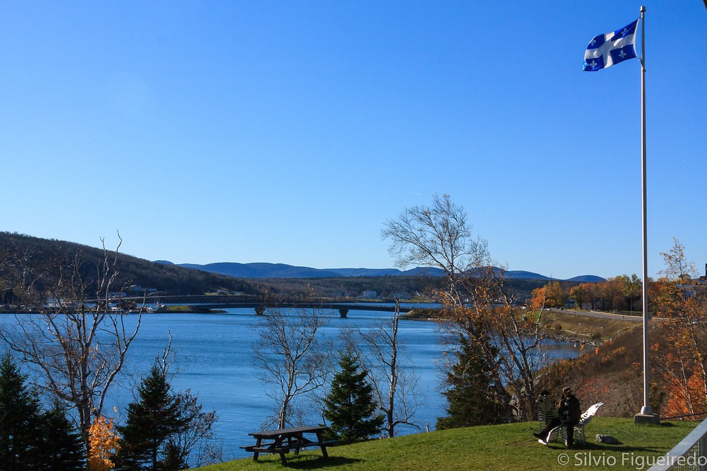
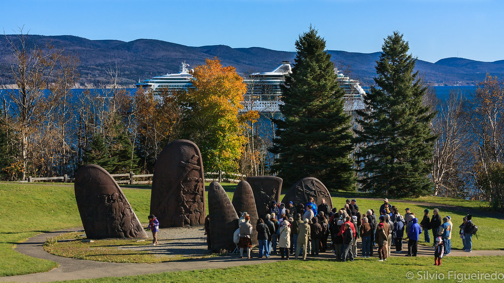
Gaspé

Pretty and remote coves dotted the landscape.
Gaspe 02150 - Gaspe
Forillon National Park, Gaspé, Québec
_DSC0914.jpg
old buildings
Gaspé
_DSC0600.jpg
Forillon National Park, Gaspé, Québec
_DSC0915.jpg
0075-IMG_3_0751p
_DSC0604.jpg
Forillon National Park, Gaspé, Québec
Gaspé
Topographic Map of La Côte-de-Gaspé Regional County Municipality, QC, Canada
Find elevation by address:

Places in La Côte-de-Gaspé Regional County Municipality, QC, Canada:
Places near La Côte-de-Gaspé Regional County Municipality, QC, Canada:
Boul de Forillon, Gaspé, QC G4X 6T8, Canada
13 Boul Renard E, Gaspé, QC G4X 5H4, Canada
20 Rue Bechervaise, Gaspé, QC G4X 1A7, Canada
Gaspé
Boul de Forillon, Gaspé, QC G4X 6T9, Canada
Montée de Wakeham, Gaspé, QC G4X 2P5, Canada
83 Rue Sunny Bank, Gaspé, QC G4X 2M7, Canada
432 Montée De Sandy-beach
Boulevard du Griffon, Gaspé, QC G4X 6A3, Canada
Haldimand Beach
41 Avenue Kennedy, Gaspé, QC G4X 2X4, Canada
Boulevard de Cap des Rosiers, Gaspé, QC G4X 6G5, Canada
QC-, Barachois, QC G0C 1A0, Canada
Le Bout Du Monde
QC-, Saint-Georges-de-Malbaie, QC G0C 2X0, Canada
QC-, Saint-Georges-de-Malbaie, QC G0C 2X0, Canada
QC-, Saint-Georges-de-Malbaie, QC G0C 2X0, Canada
41 Route de la Pointe Saint Pierre, Saint-Georges-de-Malbaie, QC G0C 2X0, Canada
Route de l'Anse à Beaufils, Cap-d'Espoir, QC G0C 1G0, Canada
QC-, Cap-d'Espoir, QC G0C 1G0, Canada
Recent Searches:
- Elevation of Corso Fratelli Cairoli, 35, Macerata MC, Italy
- Elevation of Tallevast Rd, Sarasota, FL, USA
- Elevation of 4th St E, Sonoma, CA, USA
- Elevation of Black Hollow Rd, Pennsdale, PA, USA
- Elevation of Oakland Ave, Williamsport, PA, USA
- Elevation of Pedrógão Grande, Portugal
- Elevation of Klee Dr, Martinsburg, WV, USA
- Elevation of Via Roma, Pieranica CR, Italy
- Elevation of Tavkvetili Mountain, Georgia
- Elevation of Hartfords Bluff Cir, Mt Pleasant, SC, USA