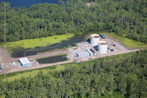
Elevation of LA-, Belle Rose, LA, USA
Location: United States > Louisiana > Assumption Parish > >
Longitude: -91.081457
Latitude: 30.0329793
Elevation: 5m / 16feet
Barometric Pressure: 101KPa
Related Photos:
Topographic Map of LA-, Belle Rose, LA, USA
Find elevation by address:

Places near LA-, Belle Rose, LA, USA:
439 La-1000
7, LA, USA
6693 La-996
6470 La-996
6470 La-996
6, LA, USA
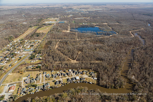
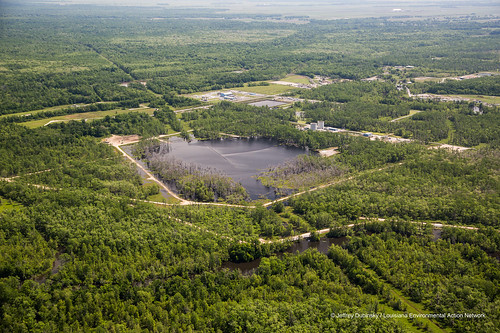
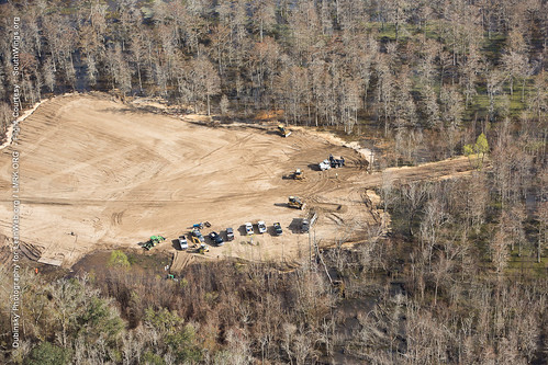
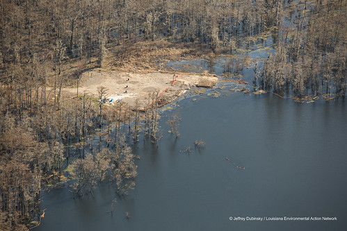
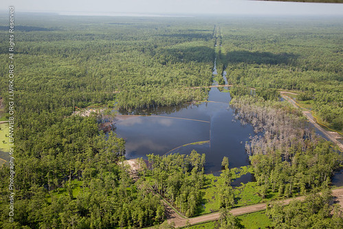
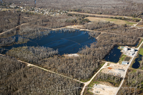
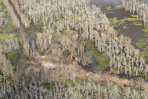
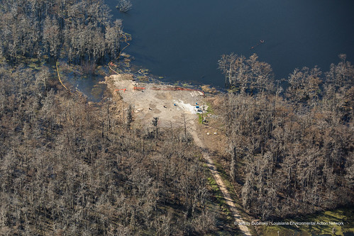
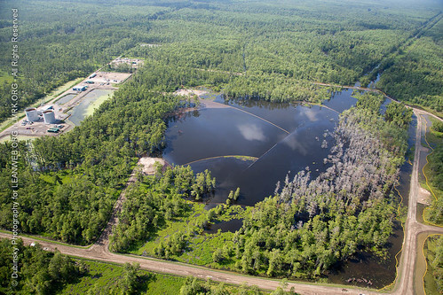
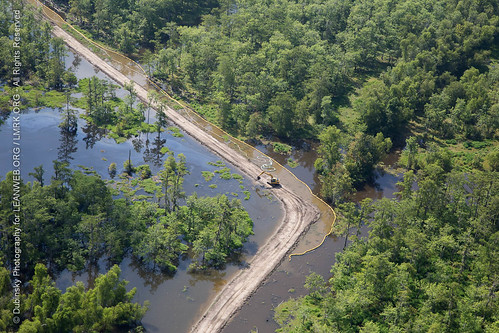
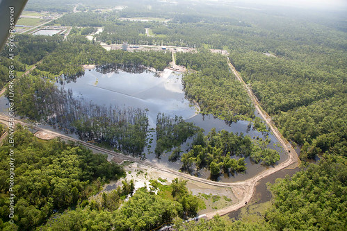
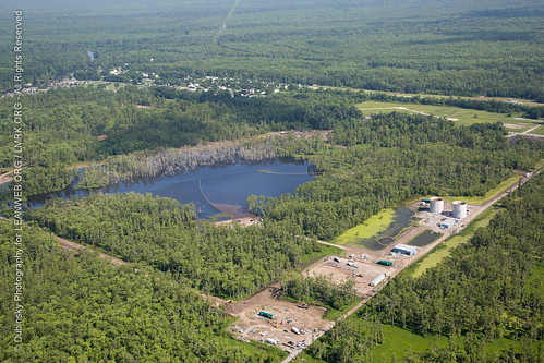
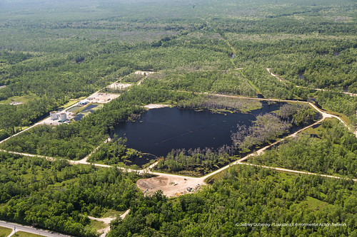
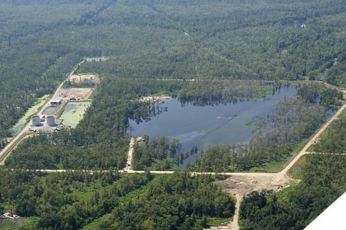
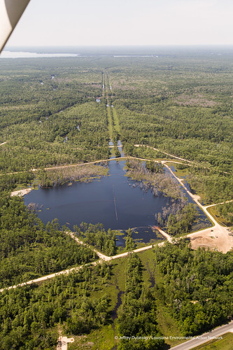
Bayou Corne Sinkhole
100-102
Bayou Corne
1123 St Vincent Rd
187 S 1st St
187 S 1st St
187 S 1st St
187 S 1st St
187 S 1st St
187 S 1st St
Assumption Parish
200 Bayou Dr W
8, LA, USA
5, LA, USA
Recent Searches:
- Elevation of Corso Fratelli Cairoli, 35, Macerata MC, Italy
- Elevation of Tallevast Rd, Sarasota, FL, USA
- Elevation of 4th St E, Sonoma, CA, USA
- Elevation of Black Hollow Rd, Pennsdale, PA, USA
- Elevation of Oakland Ave, Williamsport, PA, USA
- Elevation of Pedrógão Grande, Portugal
- Elevation of Klee Dr, Martinsburg, WV, USA
- Elevation of Via Roma, Pieranica CR, Italy
- Elevation of Tavkvetili Mountain, Georgia
- Elevation of Hartfords Bluff Cir, Mt Pleasant, SC, USA
