Elevation of LA-, Batchelor, LA, USA
Location: United States > Louisiana > Pointe Coupee Parish > > Batchelor >
Longitude: -91.622284
Latitude: 30.8353002
Elevation: 14m / 46feet
Barometric Pressure: 101KPa
Elevation Map:
Satellite Map:
Related Photos:

Wells Grave

Spring at Greenwood

Greenwood Plantation

Reflecting pond

Reflecting pond

Reflecting pond

Reflecting pond

Reflecting pond
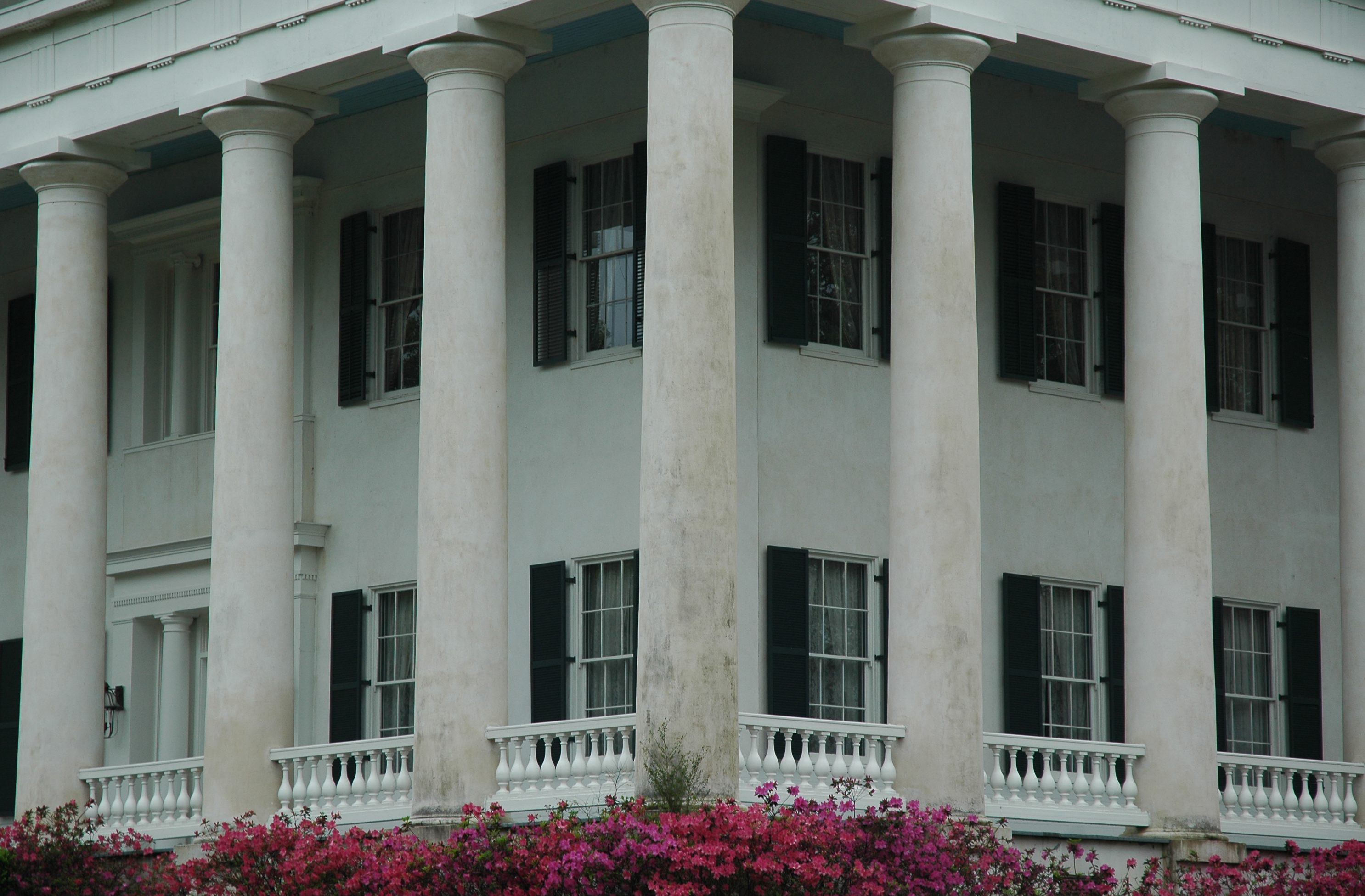
Plantation house columns

Plantation house
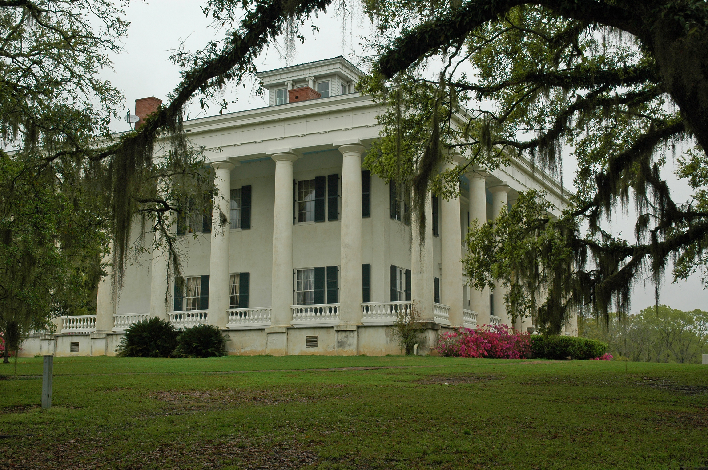
Plantation house

Corner view
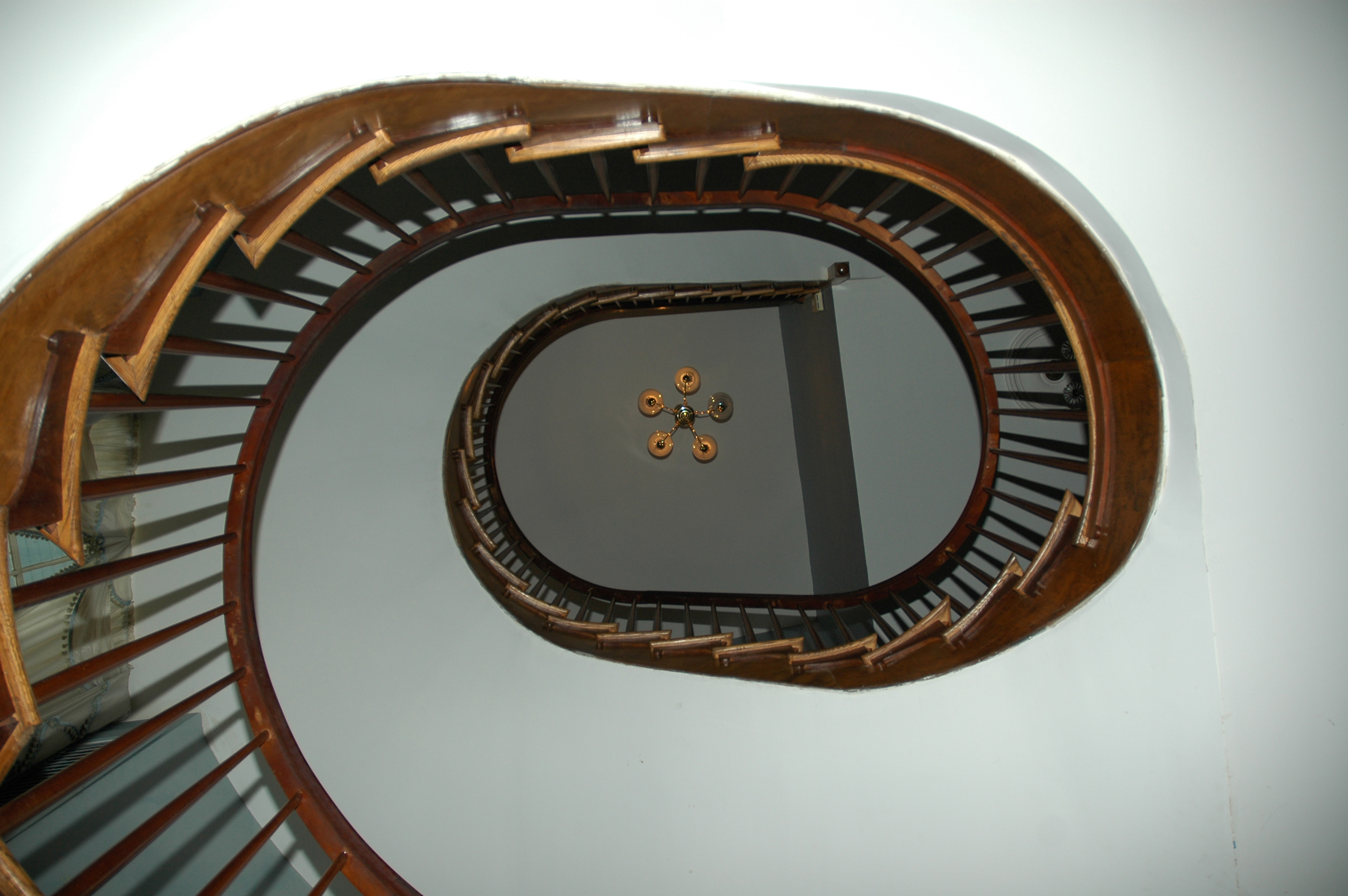
Greenwood staircase

louisiana wheat field
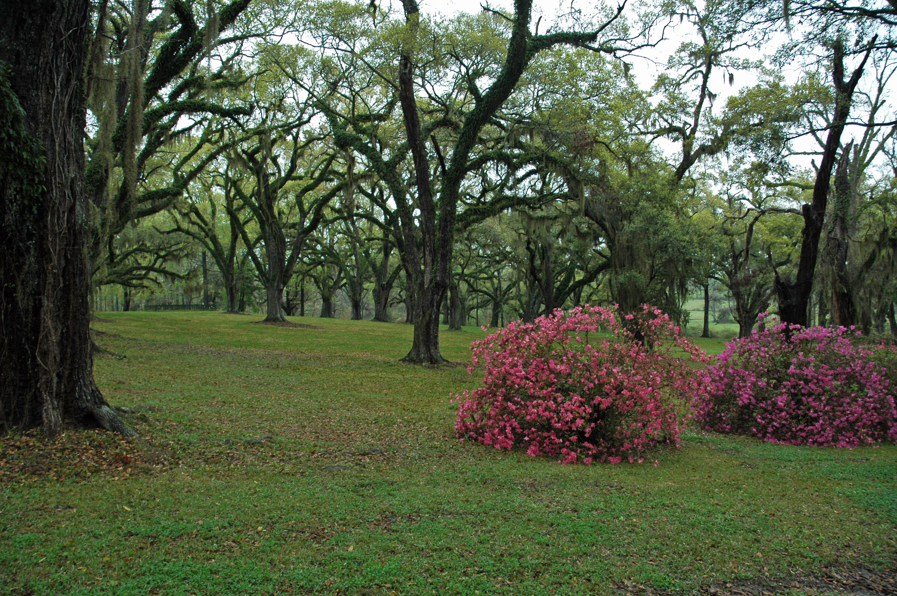
Greenwood landscape
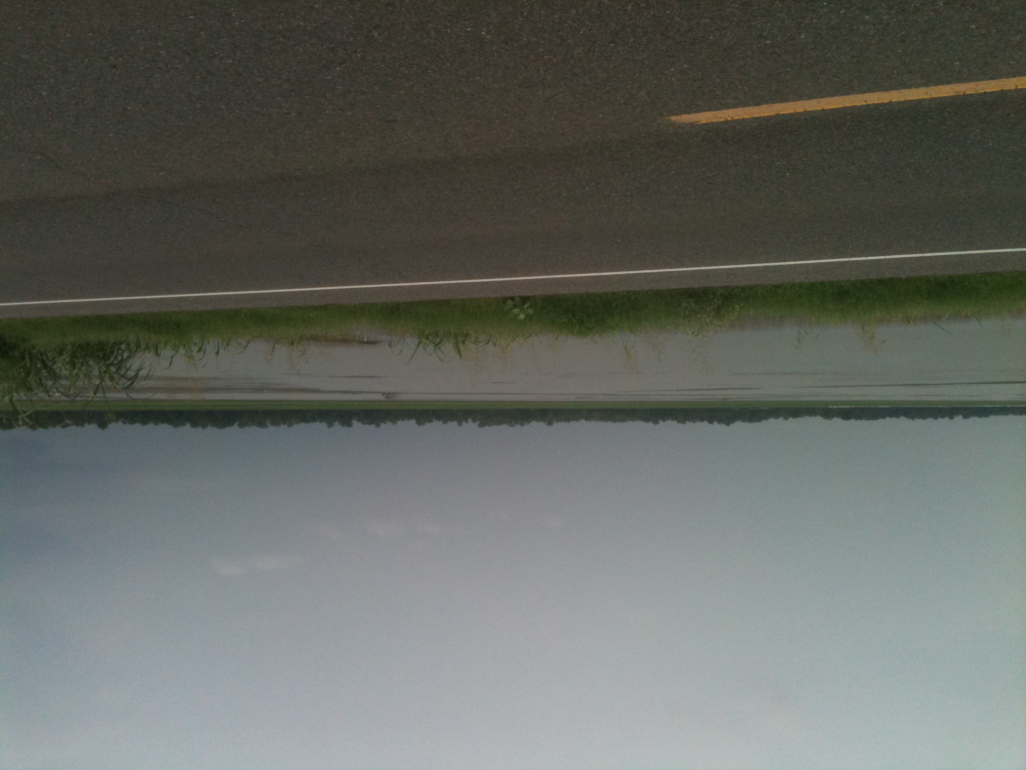
Morganza spillway
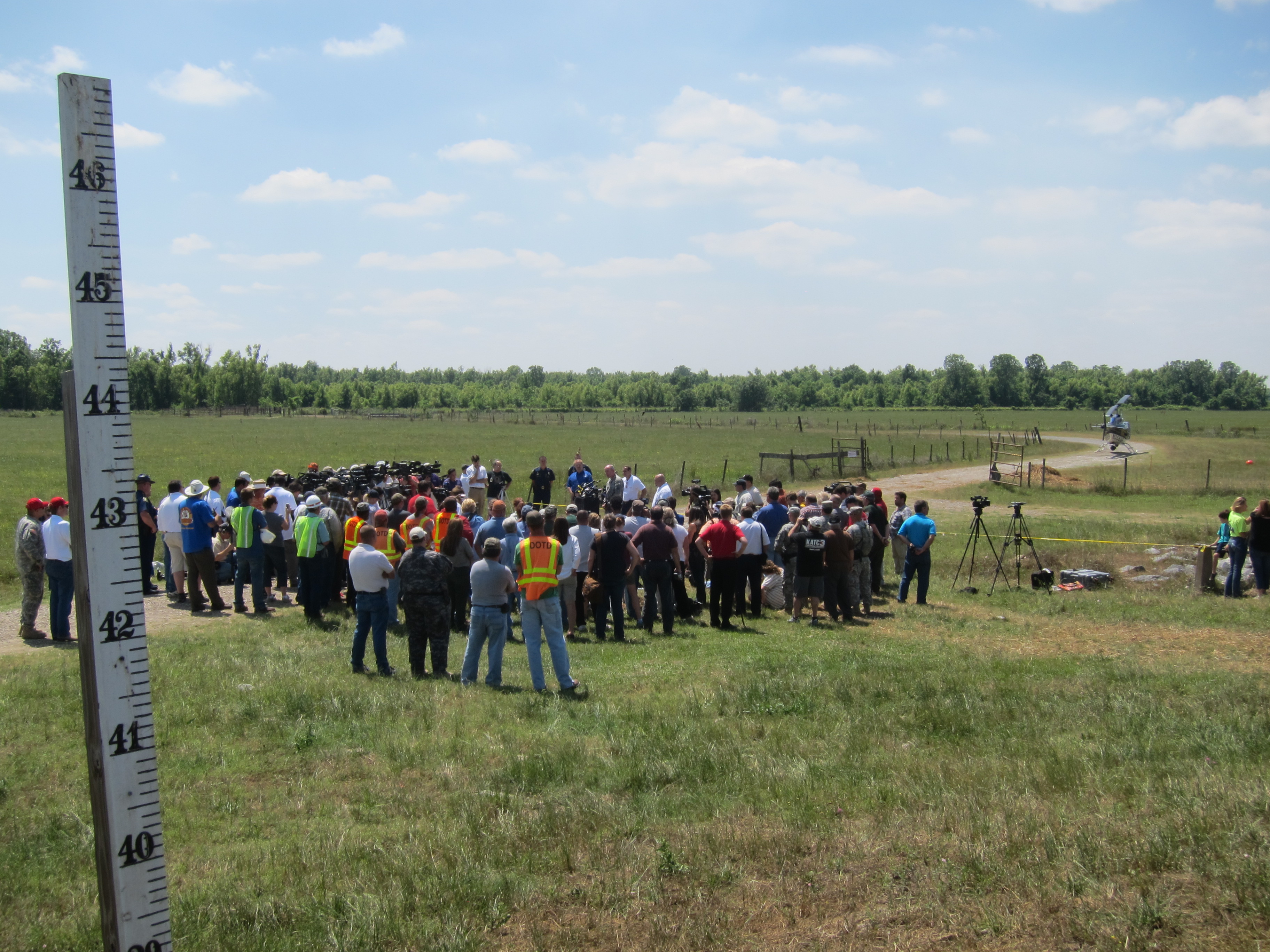
Army Corps press conference 5/14
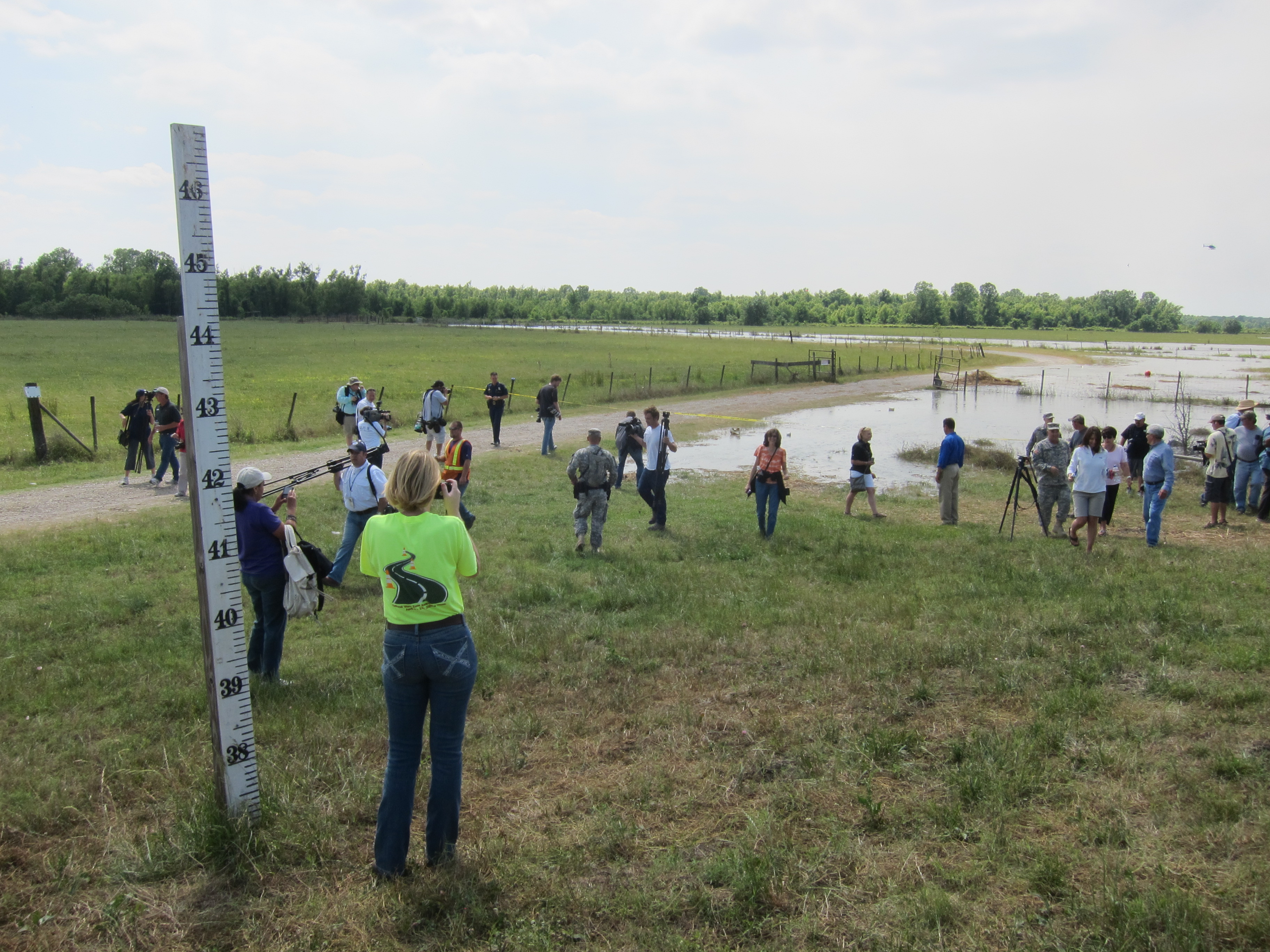
The water comes 5/14
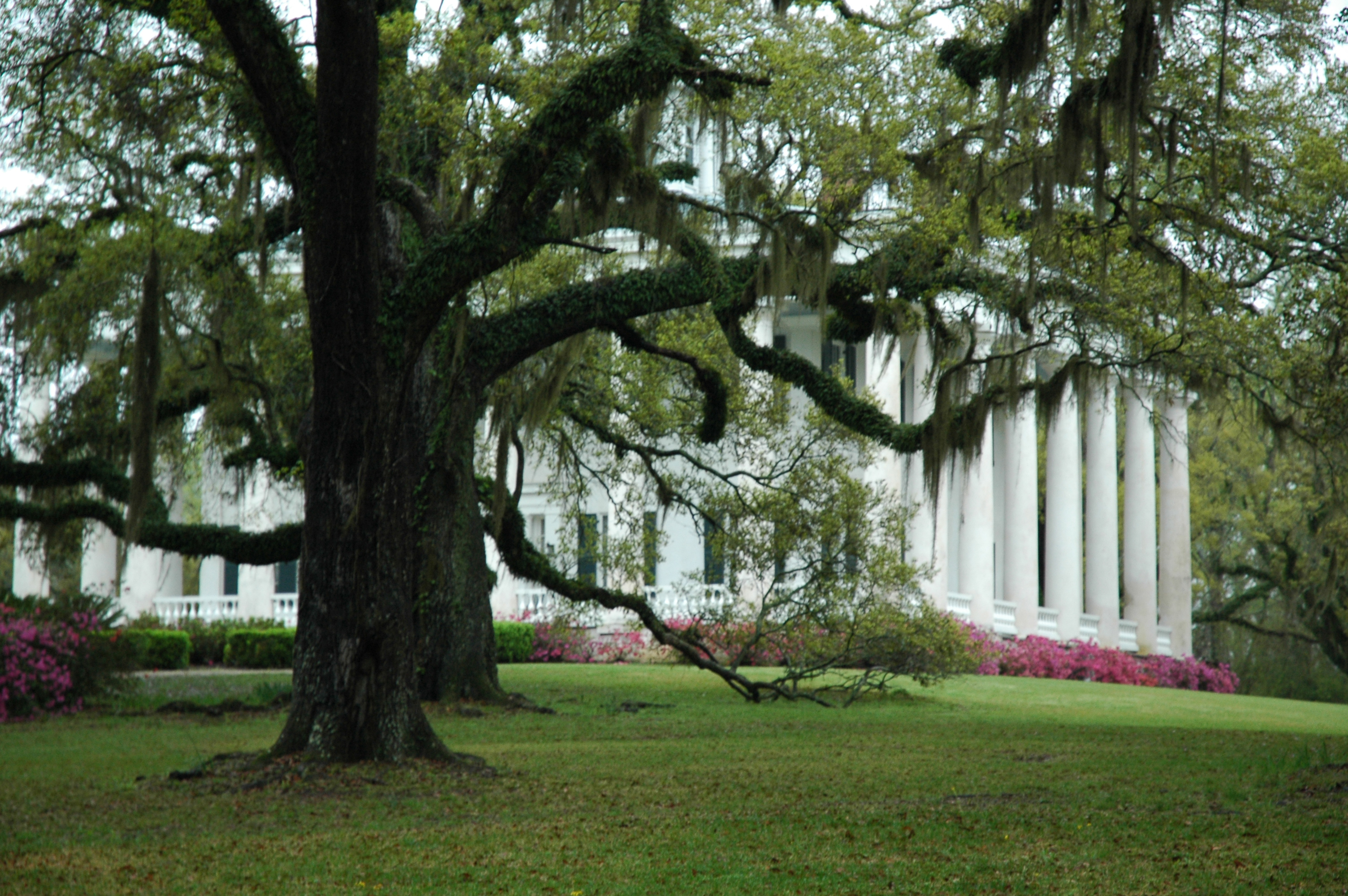
Plantation house
Topographic Map of LA-, Batchelor, LA, USA
Find elevation by address:

Places near LA-, Batchelor, LA, USA:
Batchelor
4th St, Batchelor, LA, USA
4811 Willow St
9459 La-418
7170 La-1
Lettsworth
Morganza Hwy, Morganza, LA, USA
1, LA, USA
3, LA, USA
14395 La-970
Goodwood
3, LA, USA
LA-, Melville, LA, USA
Melville
212 Mc Neil St
21360 La-417
11175 Tunica Trace
Tunica Trace, St Francisville, LA, USA
Pointe Coupee Rd, New Roads, LA, USA
310 Benjamin St
Recent Searches:
- Elevation of Corso Fratelli Cairoli, 35, Macerata MC, Italy
- Elevation of Tallevast Rd, Sarasota, FL, USA
- Elevation of 4th St E, Sonoma, CA, USA
- Elevation of Black Hollow Rd, Pennsdale, PA, USA
- Elevation of Oakland Ave, Williamsport, PA, USA
- Elevation of Pedrógão Grande, Portugal
- Elevation of Klee Dr, Martinsburg, WV, USA
- Elevation of Via Roma, Pieranica CR, Italy
- Elevation of Tavkvetili Mountain, Georgia
- Elevation of Hartfords Bluff Cir, Mt Pleasant, SC, USA