Elevation of LA-8, Flatwoods, LA, USA
Location: United States > Louisiana > Rapides Parish > E >
Longitude: -92.867972
Latitude: 31.402508
Elevation: 90m / 295feet
Barometric Pressure: 100KPa
Elevation Map:
Satellite Map:
Related Photos:
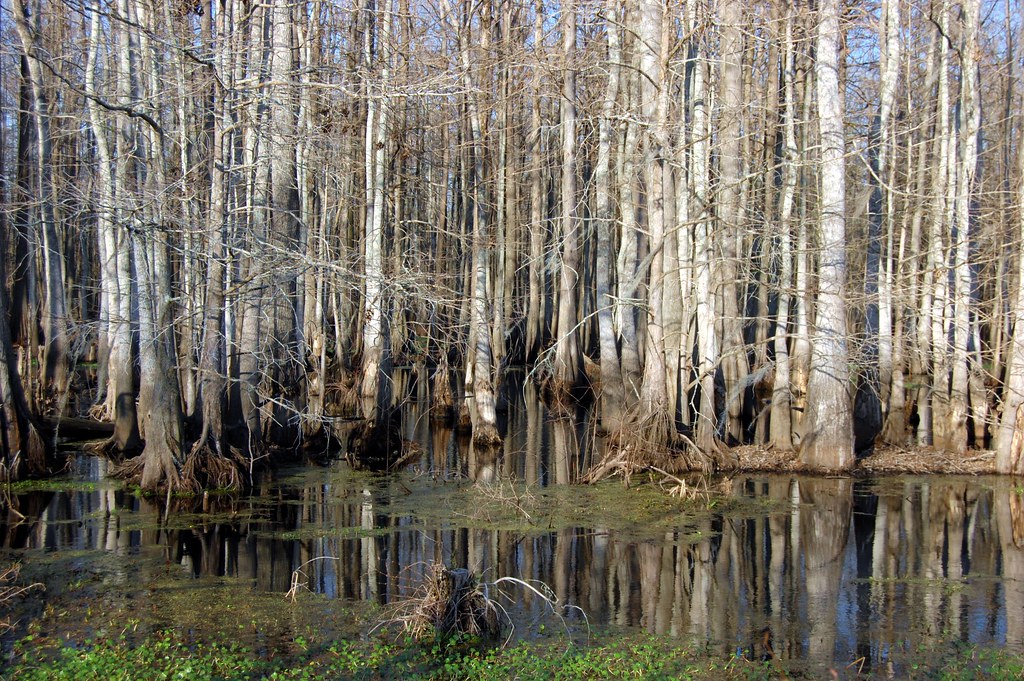
Cypress Trees and Swamp
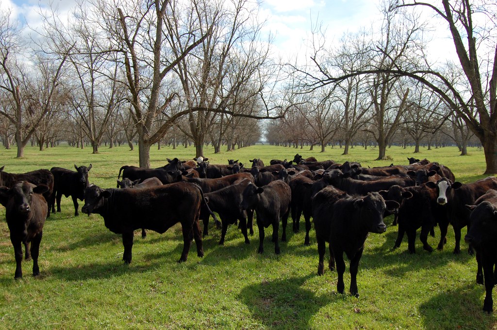
Little Eva Plantation Herd
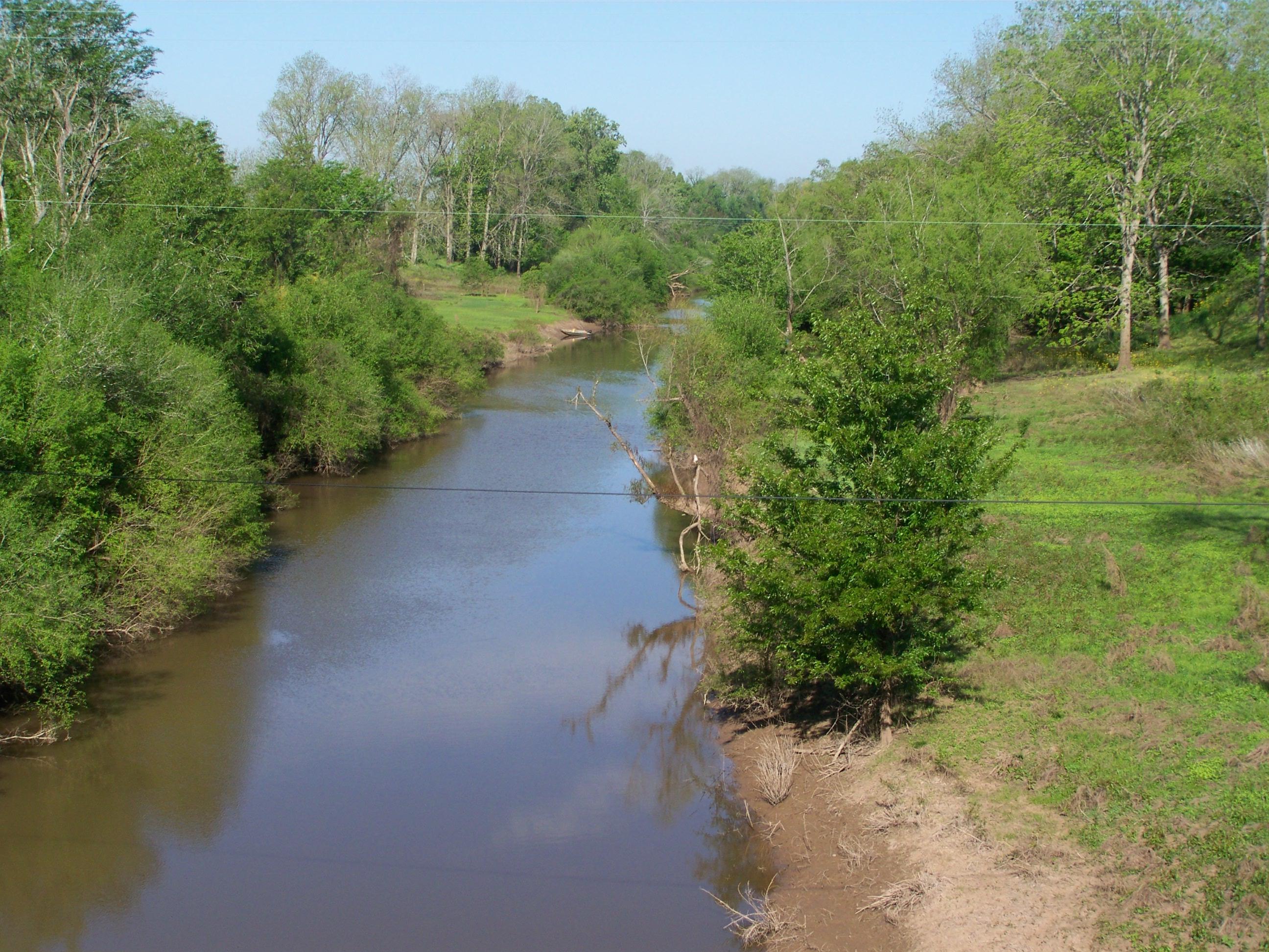
Cane River- Cloutierville LA
On the road to New Orleans

Postcard from the road. Visiting an old college buddy, haven't seen since 78.

Double-J photographer
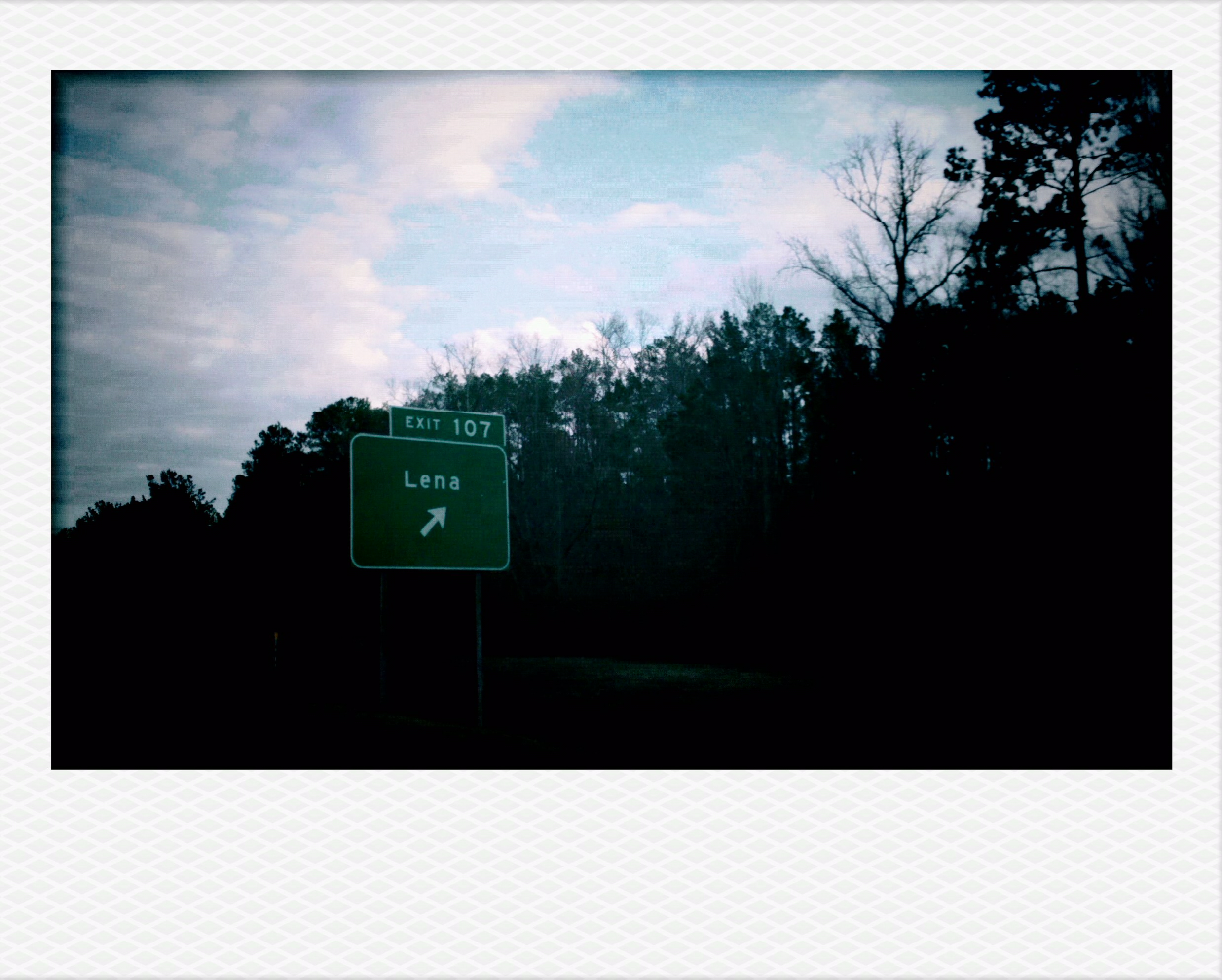
Lena, LA.
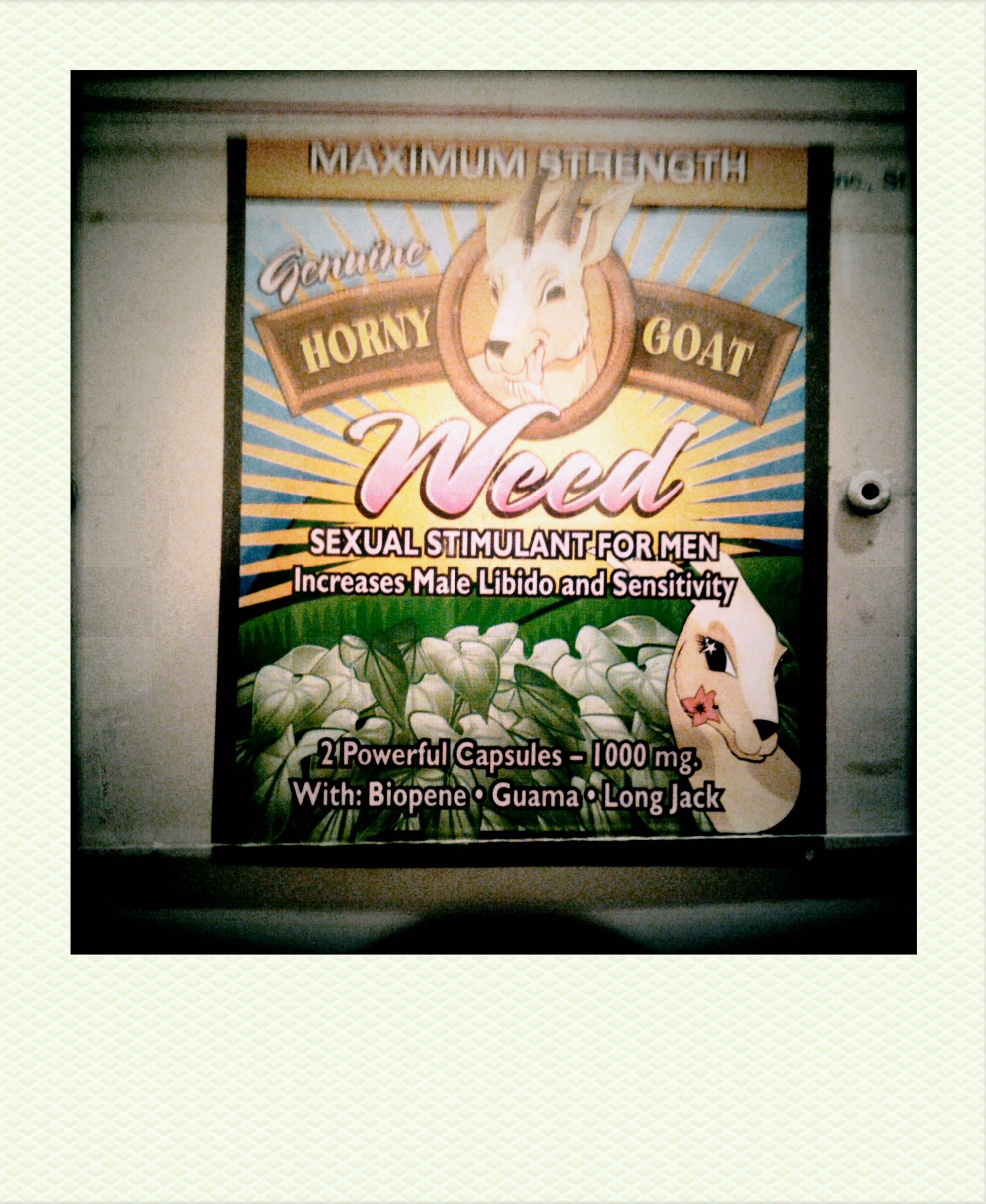
Horny Goat Weed
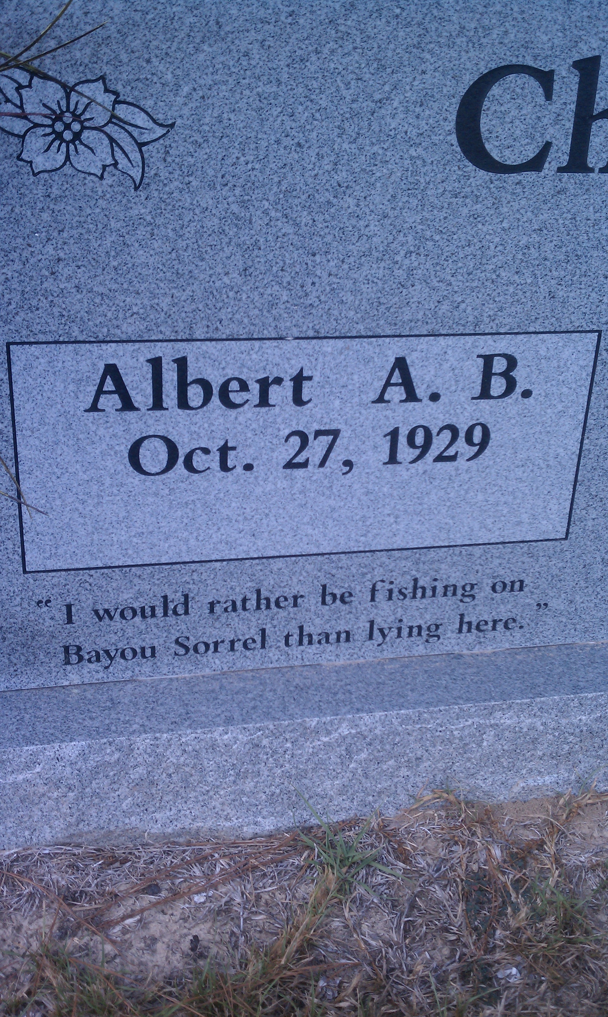
Albert Chenault

LA 491/495 Route Signs with Ugly Shield

CHRISTUS St. Frances Cabrini Hospital School-Based Health Center Partnership Celebration

CHRISTUS St. Frances Cabrini Hospital School-Based Health Center Partnership Celebration

CHRISTUS St. Frances Cabrini Hospital School-Based Health Center Partnership Celebration

CHRISTUS St. Frances Cabrini Hospital School-Based Health Center Partnership Celebration
Natchitoches 09
Topographic Map of LA-8, Flatwoods, LA, USA
Find elevation by address:

Places near LA-8, Flatwoods, LA, USA:
LA-, Lena, LA, USA
LA-, Gorum, LA, USA
11 Neal Cemetery Rd, Clifton, LA, USA
LA-, Lena, LA, USA
11, LA, USA
462 Laurel Hill Rd
Bayou Bourbeaux
6, LA, USA
Boswell Rd, Hineston, LA, USA
Alexandria Hwy, Leesville, LA, USA
Caddo St, Montgomery, LA, USA
LA-, Natchez, LA, USA
LA-, Hineston, LA, USA
LA-1, Natchitoches, LA, USA
1, LA, USA
US-71, Natchitoches, LA, USA
1, LA, USA
Keyser Avenue
720 Keyser Ave
Prather Coliseum
Recent Searches:
- Elevation of Corso Fratelli Cairoli, 35, Macerata MC, Italy
- Elevation of Tallevast Rd, Sarasota, FL, USA
- Elevation of 4th St E, Sonoma, CA, USA
- Elevation of Black Hollow Rd, Pennsdale, PA, USA
- Elevation of Oakland Ave, Williamsport, PA, USA
- Elevation of Pedrógão Grande, Portugal
- Elevation of Klee Dr, Martinsburg, WV, USA
- Elevation of Via Roma, Pieranica CR, Italy
- Elevation of Tavkvetili Mountain, Georgia
- Elevation of Hartfords Bluff Cir, Mt Pleasant, SC, USA