Elevation of LA-1, Donaldsonville, LA, USA
Location: United States > Louisiana > Ascension Parish > > Donaldsonville >
Longitude: -91.01649
Latitude: 30.109592
Elevation: 5m / 16feet
Barometric Pressure: 101KPa
Elevation Map:
Satellite Map:
Related Photos:

Nottoway Plantation House (side view)

Houmas House

Houmas House
Houmas House Plantation - Main House - 2nd Floor Balcony View

Houmas House Plantation - Main House - 2nd Floor Balcony View (2)
I Know You're Out There...Somewhere

Houmas House Side View
side view of houmas house

houmas house - front view

Houmas House (Other) Side View

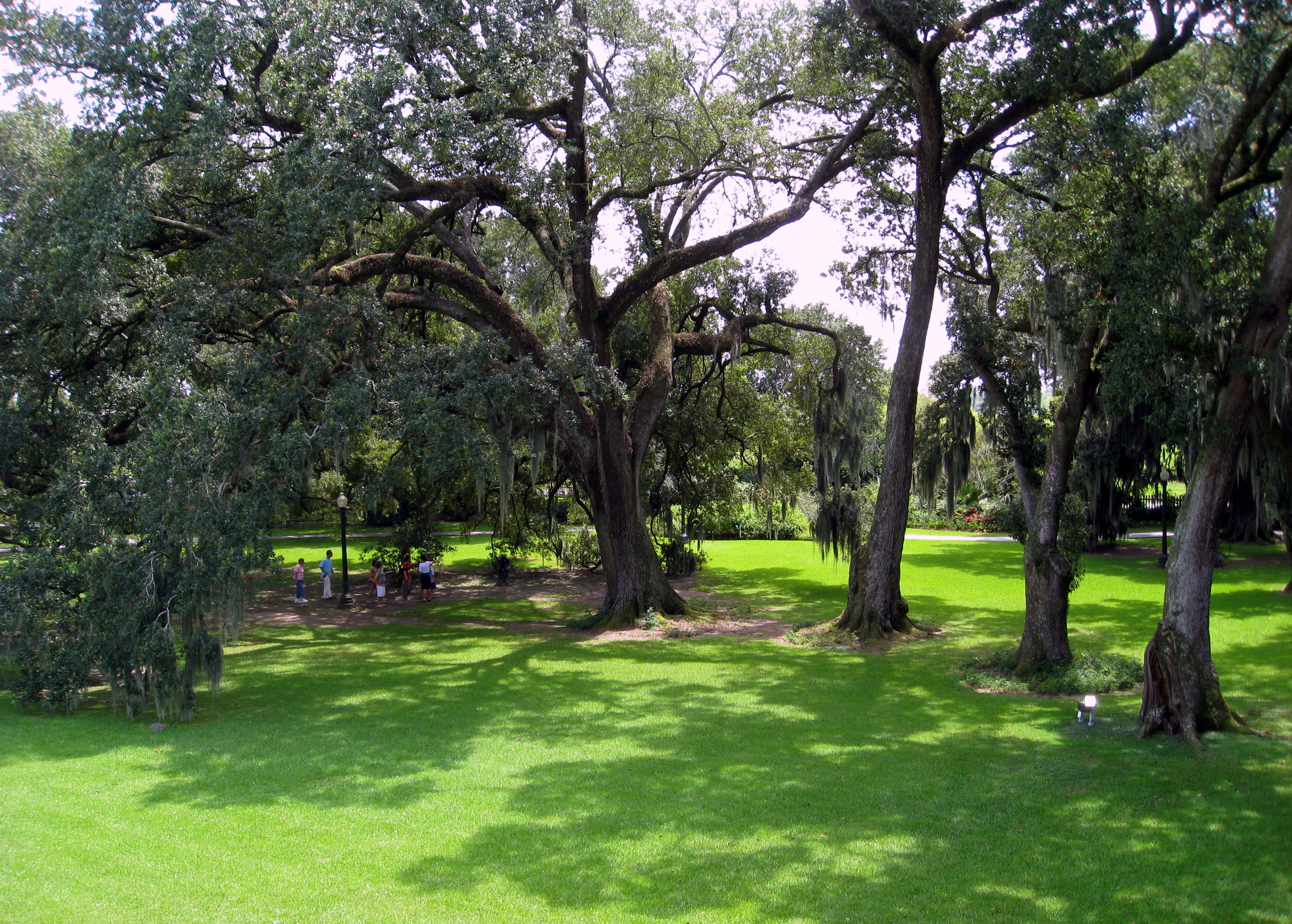
front view from houmas house with live oak trees

Maryland Farms Oak, Lone Oak Cemetery, Carville, LA.

Sunshine Bridge, Donaldsonville & Sorrento, Louisiana

Tezcuco Plantation Remains, Darrow, LA.

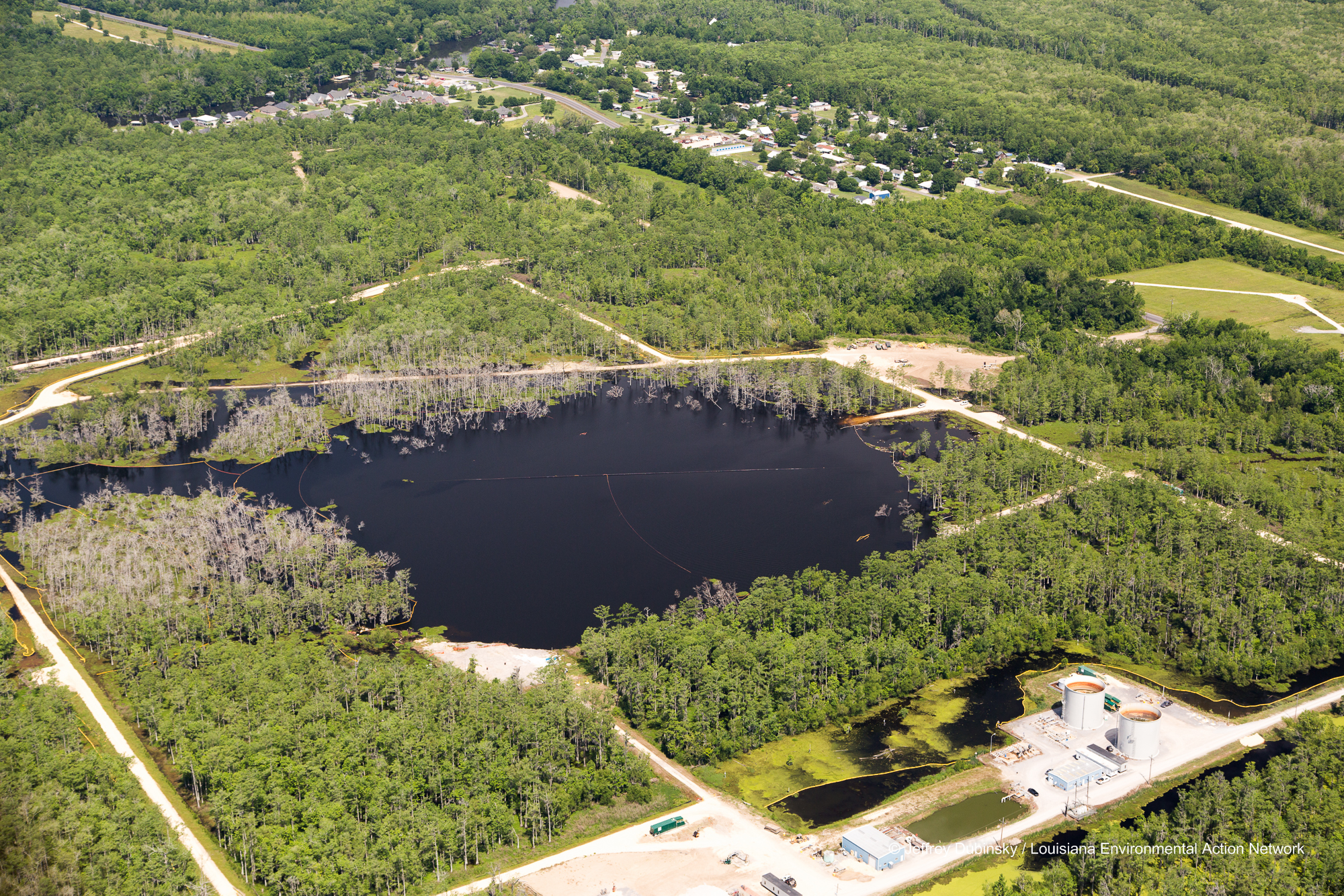
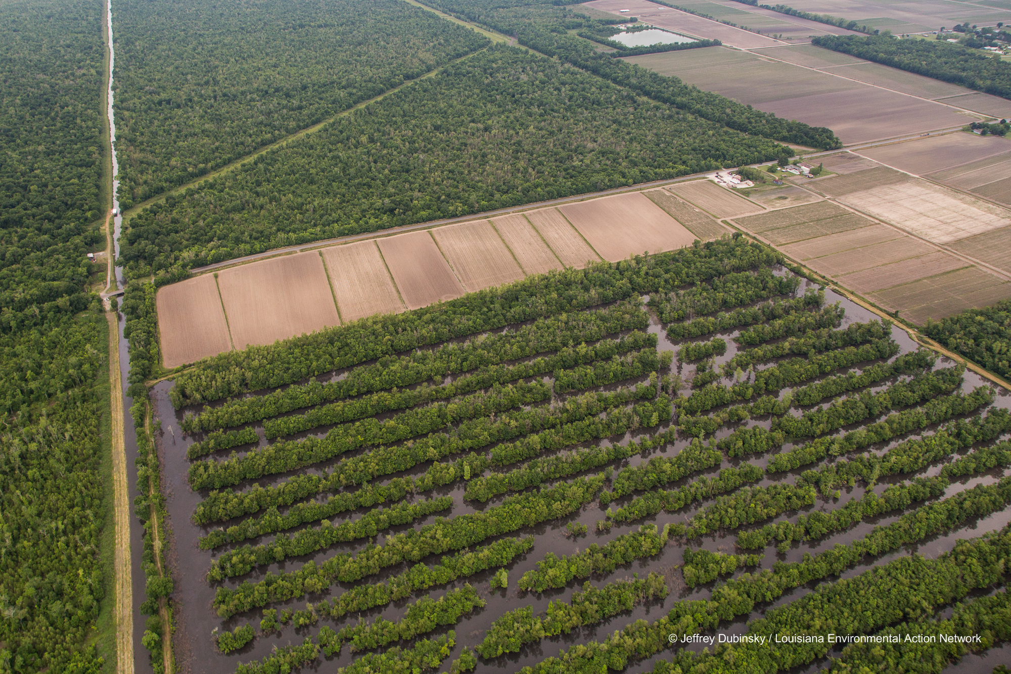
Bayou Corne Sinkhole

New Pad - Bayou Corne Sinkhole

St. Amico Chapel, Donaldsonville, LA.

Bayou Corne Sinkhole Aerial Images Brine Tanks 6-21-13LEAN043200003306211306212013
lmrk-lean-flight--flickr-5-2-14-0026

lmrk-lean-flight--flickr-5-2-14-0022

lmrk-lean-flight--flickr-5-2-14-0030

Bayou Corne Sinkhole and Community Aerial Images 6-21-13LEAN043400003506211306212013

lmrk-lean-flight--flickr-5-2-14-0021

River Fog

Clear Cut 6-21-13LEAN053700013606211306212013

St. Elizabeth Church, Napoleonville, LA.
lmrk-lean-flight--flickr-5-2-14-0015

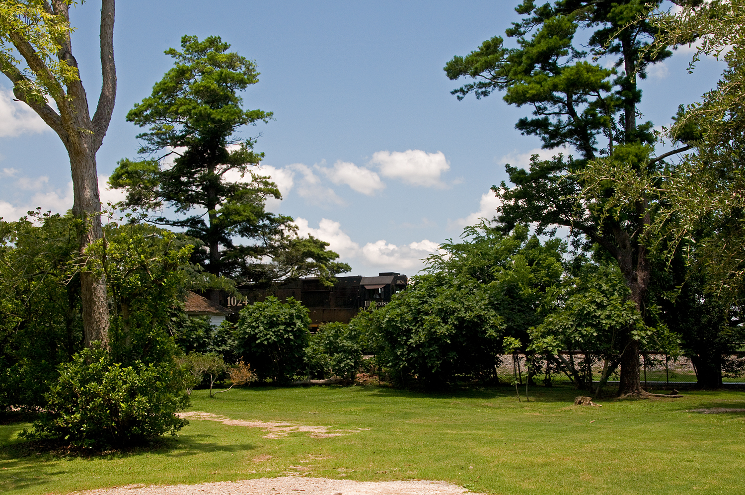
Mississippi River, Darrow, LA
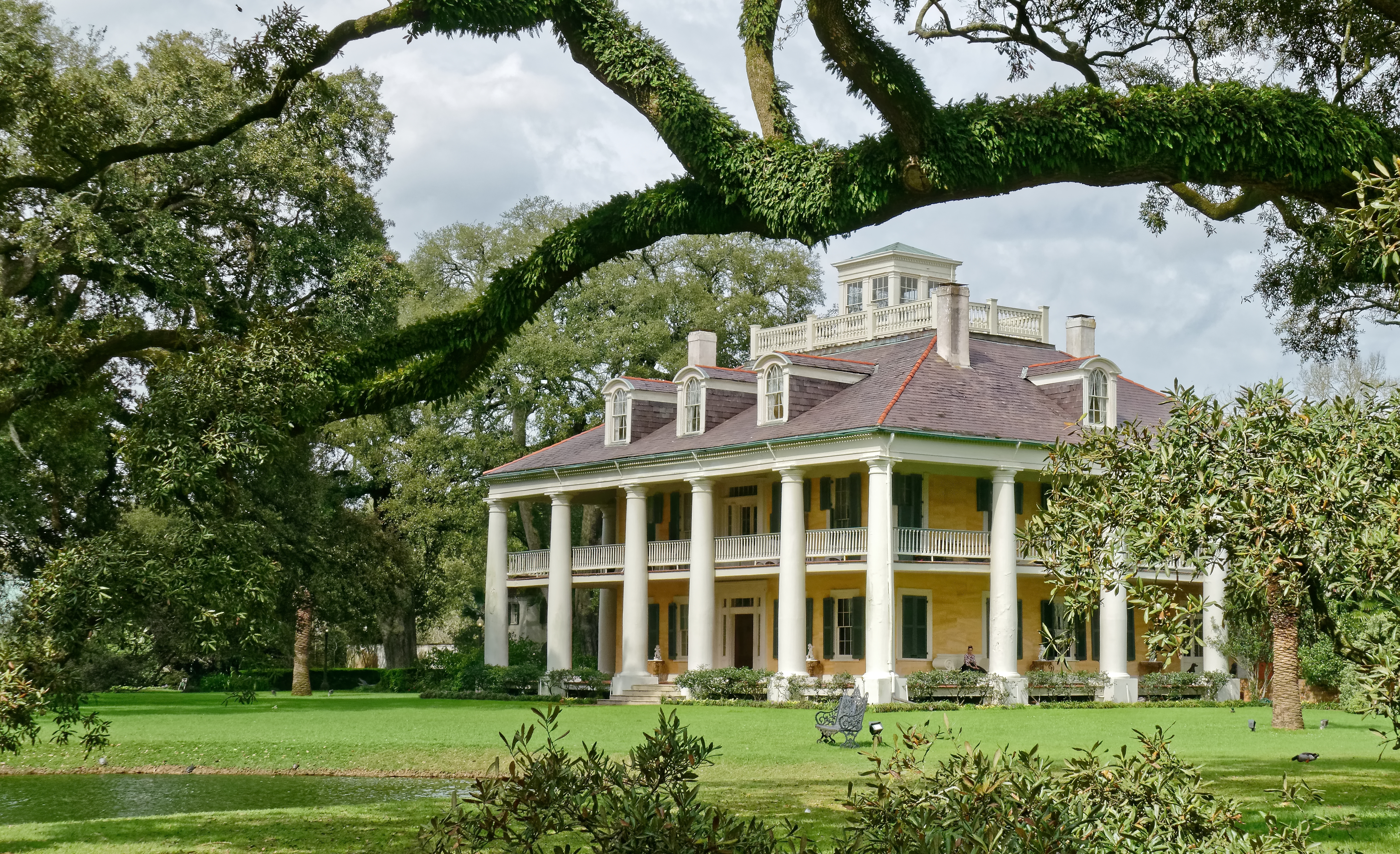
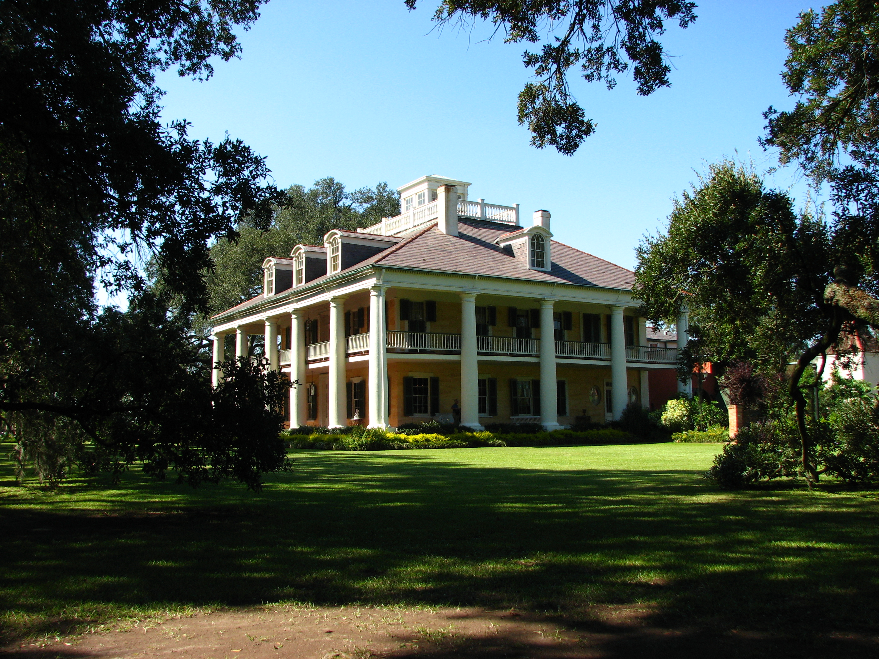
Houmas House Plantation and Gardens - Burnside, LA

Sugar Cane

a IMG_3818 ascension 404 subdivision

Impala Warehousing US LLC - Burnside Terminal
Topographic Map of LA-1, Donaldsonville, LA, USA
Find elevation by address:

Places near LA-1, Donaldsonville, LA, USA:
214 W 2nd St
Donaldsonville
1, LA, USA
286 Joel St
37640 La-22
3, LA, USA
Shell Chemical Lp Geismar
2384 Lemanville Cut Off Rd
LA-18, Donaldsonville, LA, USA
5290 Courtyard Dr
5176 Courtyard Dr
5285 Courtyard Dr
5328 Courtyard Dr
LA-73, Geismar, LA, USA
5329 Courtyard Dr
5432 Courtyard Dr
10455 La-18
Pelican Point Golf & Country Club
6138 Royal Palms Dr
5179 Wildwood Dr
Recent Searches:
- Elevation of Corso Fratelli Cairoli, 35, Macerata MC, Italy
- Elevation of Tallevast Rd, Sarasota, FL, USA
- Elevation of 4th St E, Sonoma, CA, USA
- Elevation of Black Hollow Rd, Pennsdale, PA, USA
- Elevation of Oakland Ave, Williamsport, PA, USA
- Elevation of Pedrógão Grande, Portugal
- Elevation of Klee Dr, Martinsburg, WV, USA
- Elevation of Via Roma, Pieranica CR, Italy
- Elevation of Tavkvetili Mountain, Georgia
- Elevation of Hartfords Bluff Cir, Mt Pleasant, SC, USA