Elevation of Lê Chân, Haiphong, Vietnam
Location: Vietnam > Haiphong >
Longitude: 106.683133
Latitude: 20.8345046
Elevation: 3m / 10feet
Barometric Pressure: 101KPa
Elevation Map:
Satellite Map:
Related Photos:

Vietnam - Haiphong - Depart from the station

Vietnam - Haiphong - The station building

Vietnam - Haiphong - The harbour track

Meat chopping
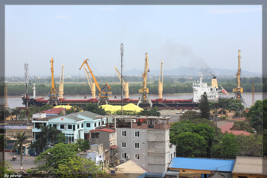
M/V Apellis at Haiphong Main Port

Night view

nature_DSC0035-1

The end of the road, Haiphong

DSC_0029 (2)-Edit

Hoàng hôn trên bến Quang Thanh(04-06-2011)

Linh tinh...随拍

Chơi núi An Lão
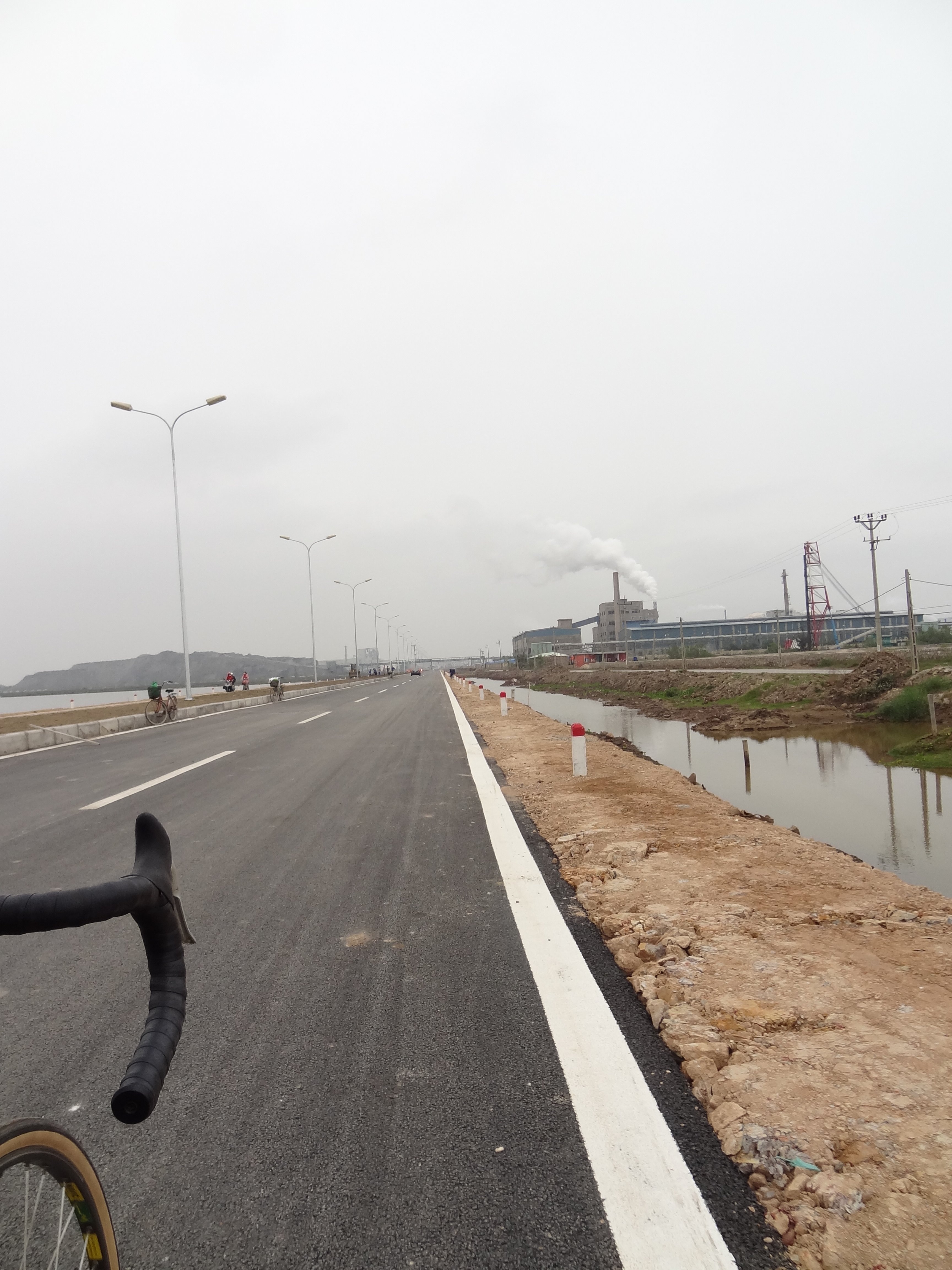
nice industrial road

AURORA DSC_0110-1

#vietnam #dalat #2015

Panorama_Nui Voi_3

sunset DSC_0127-1

iPhone shot

iPhone shot

HaiPhong port

iPhone shot

Xi măng Chinfon, Minh đưc, Hải phòng

Sông Cấm

Hoàng hôn trên sông

Tôi đã thấy hoa tím trên cỏ xanh :v

sunset _ DSC0256-1

CameraZOOM-20130706164959877
Topographic Map of Lê Chân, Haiphong, Vietnam
Find elevation by address:

Places near Lê Chân, Haiphong, Vietnam:
Nguyen Cong Tru Street Primary School
Hai Phong
Vinpearl Golf Haiphong
Vinpearl Golf Hai Phong
De Heus Hai Phong
Tt. Trường Sơn
Haiphong
An Lão
Song Gia Golf Resort
Song Gia Golf Resort
Tiên Lãng
Tiên Lãng
Hai Duong
Thai Binh
Thái Bình
Hưng Hà District
Nam Định
Văn Lâm
CÔng Ty CỔ PhẦn Mavin Austfeed - Nhà Máy Thức ăn Chăn Nuôi
Công Ty Cổ Phần Thức ăn Chăn Nuôi Thái Dương
Recent Searches:
- Elevation of Corso Fratelli Cairoli, 35, Macerata MC, Italy
- Elevation of Tallevast Rd, Sarasota, FL, USA
- Elevation of 4th St E, Sonoma, CA, USA
- Elevation of Black Hollow Rd, Pennsdale, PA, USA
- Elevation of Oakland Ave, Williamsport, PA, USA
- Elevation of Pedrógão Grande, Portugal
- Elevation of Klee Dr, Martinsburg, WV, USA
- Elevation of Via Roma, Pieranica CR, Italy
- Elevation of Tavkvetili Mountain, Georgia
- Elevation of Hartfords Bluff Cir, Mt Pleasant, SC, USA