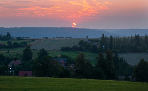
Elevation of Kyžlířov, 62 Potštát, Czech Republic

Location: Czech Republic > Olomouc Region > Přerov District > Potštát >

Longitude: 17.6744777

Latitude: 49.6388551

Elevation: 549m / 1801feet

Barometric Pressure: 95KPa

Elevation Map:

elevation map of Kyžlířov, 62 Potštát, Czech Republic

Satellite Map:

Satellite map of Kyžlířov, 62 Potštát, Czech Republic

Related Photos:

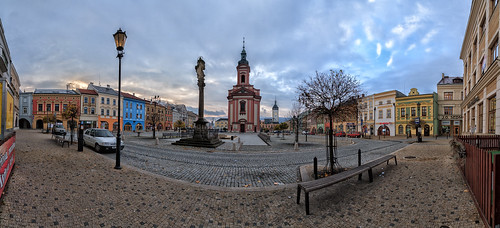
world plaza old city trip morning travel blue light vacation urban panorama © holiday color building history tourism monument beautiful wall architecture canon wonderful landscape outdoors photography site fantastic tour exterior view place image awesome sightseeing scenic cities visit location tourist journey stunning destination classical sight traveling visiting exploration past incredible civilizations hdr touring breathtaking pavel monumental náměstí 2015 canonefs1022mmf3545usm magiclight hranice dačice tobolka eos7d olomouckýkraj všechovice paveltobolka
Hranice plaza
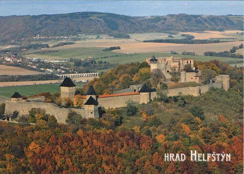
man tower castle art architecture greek iron europa europe european republic czech god head steel union eu brain hephaestus gathering czechrepublic annual ironwork blacksmith tradition hrad 13thcentury bastions českárepublika canonef24105mmf4lisusm přerov unie helfenstein evropská hefaiston bečva artisticmetalwork masterblacksmith olomoucký canoneos5dmarkiii helfštýn lipníknadbečvou paulcaruso helfstein olomoucregion markaveritt centralmoravia moraviangate helfridoflinava gothicfortress vilémofpernštejn fortifiedouterward comeniusmuseum artistblacksmiths alfredhabermann theblacksmithforum
0496 Helfstyn Castle, Czech Republic
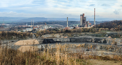
world old city trip travel blue light vacation urban panorama holiday color building history fall tourism monument beautiful wall architecture canon wonderful landscape outdoors photography site fantastic tour exterior view place image awesome sightseeing scenic cities visit location tourist ef50mmf14 journey 7d stunning czechrepublic destination classical sight traveling visiting exploration past incredible civilizations quarry touring breathtaking stonepit monumental lom podzim morava magiclight hranice tondach eos7d cementhranice hranicenamoravě cementárnahranice
Industrial landscape
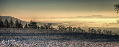
sky water bulb clouds sunrise canon landscape big long exposure cityscape slow czech filter lee wharf nd tamron mode ultrawide stopper 1024 olomouc 10mm 10stop 60d radíkov hrabůvka kunzov hrabůvkaradikovkunzov
Sunrise back home
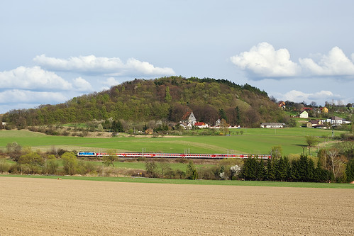
09.05.2011, 150.210-3, Hr. Černotín - Teplice nad Bečvou
rain clouds evening mygearandme mygearandmepremium mygearandmebronze oderskevrchy čermnáveslezsku
Rainy Evening
río reflections river landscape czech paisaje czechrepublic reflejos moravia teplice repúblicacheca hranice bečva becva moraviangate puertademoravia
Río Bečva, en Moravia
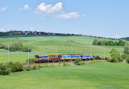
17.07.2009, 363.004-3, Bělotín - Polom
road blue red summer industry yellow concrete photography grey industrial colours photographer czech cement silo photograph czechrepublic production facility mundane industriallandscape outskirts banal urbanscape beautifulisboring banalities unplace concreteplant urbanfragments zapa contemporarylandscape redfigure newtopographics typologies tumblr unplaces newtopographers concreteproduction photographersontumblr petpave originalphotographers czechtypologies zapabeton
Zapa Beton
31.07.2012, 380.012-5, Hr. Špičky - Hr. Černotín
30.04.2011, 810.371-5, Vítkov - Klokočov
05.05.2012, 460.079-7, Hr. Černotín - Hr. Špičky
Kuchyňka v Hranicích
23.04.2012, 151.027-0, Hranice na Moravě město - Odb. Skalka odbočka
05.05.2012, 721.545-2, Hr. Špičky - Hr. Černotín
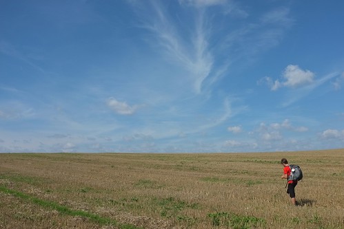
sky field clouds camino walk vast project365 project3652014
241/365: Shortcut through a field
postcrossing olomouc helfstyn
CZ-30746
Teplice nad Bečvou
Cestou necestou...
leica m8 libavavvp
L1002289_1.jpg
Výhled z vyhlídky od Hradu Svrčov
Pohoř při západu