Elevation of Kvanada, Republic of Dagestan, Russia
Location: Russia > Dagestan Republic > Tsumadinsky District >
Longitude: 46.1732534
Latitude: 42.5608899
Elevation: 1634m / 5361feet
Barometric Pressure: 83KPa
Elevation Map:
Satellite Map:
Related Photos:

Bazarduzu Dagi, Aserbajan

Bazarduzu Dagi, Aserbajan
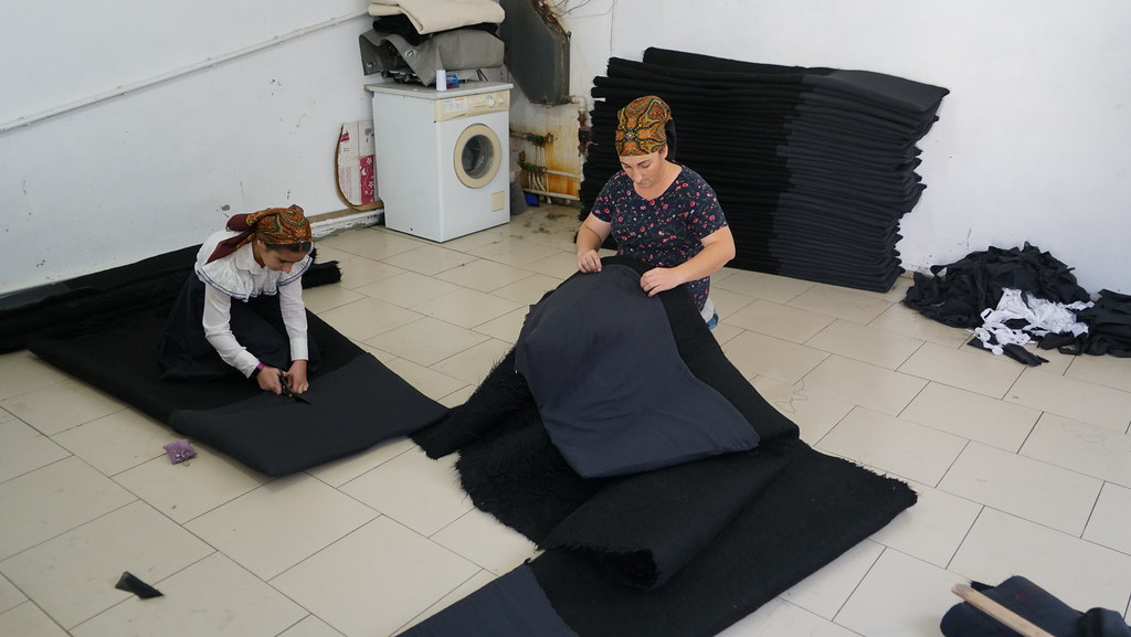
Making cloaks

Making cloaks

Cooking seeds

Cooking seeds

Cooking seeds

Cooking seeds
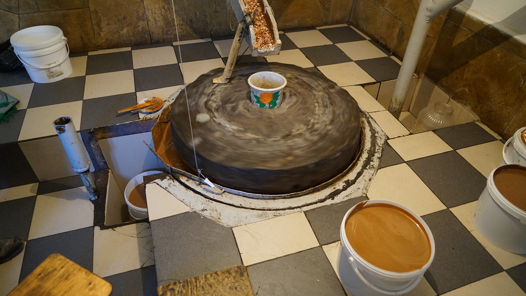
Making urbech

Tsentral'naya Mechet' S. Rakhata

2012-2-3_19.45.53

2012-2-3_19.13.27
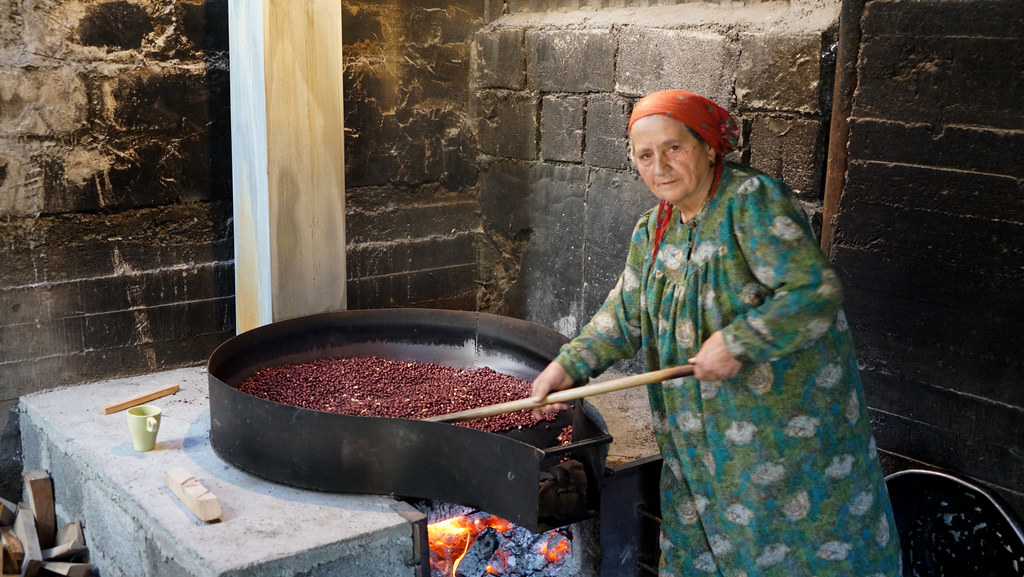
Cooking seeds
Topographic Map of Kvanada, Republic of Dagestan, Russia
Find elevation by address:

Places near Kvanada, Republic of Dagestan, Russia:
Khushtada
Tlondoda
Alak
Agvali
Gimerso
Kheleturi
Tissi
Verkh. Godoberi
Nizhnyaya Godoberi
Sanukh
Botlikh
Tindi
Angida
Asha
Ansalta
Upper Gakvari
Tsumada
Tsumadinsky District
Inkhokvari
Sasitli
Recent Searches:
- Elevation of Corso Fratelli Cairoli, 35, Macerata MC, Italy
- Elevation of Tallevast Rd, Sarasota, FL, USA
- Elevation of 4th St E, Sonoma, CA, USA
- Elevation of Black Hollow Rd, Pennsdale, PA, USA
- Elevation of Oakland Ave, Williamsport, PA, USA
- Elevation of Pedrógão Grande, Portugal
- Elevation of Klee Dr, Martinsburg, WV, USA
- Elevation of Via Roma, Pieranica CR, Italy
- Elevation of Tavkvetili Mountain, Georgia
- Elevation of Hartfords Bluff Cir, Mt Pleasant, SC, USA