Elevation map of Kuybyshevskoye vodokhranilishche, Kuybyshevskoye vdkhr., Russia
Location: Russia > Tatarstan >
Longitude: 49.6603205
Latitude: 55.2393007
Elevation: 65m / 213feet
Barometric Pressure: 101KPa
Elevation Map:
Satellite Map:
Related Photos:
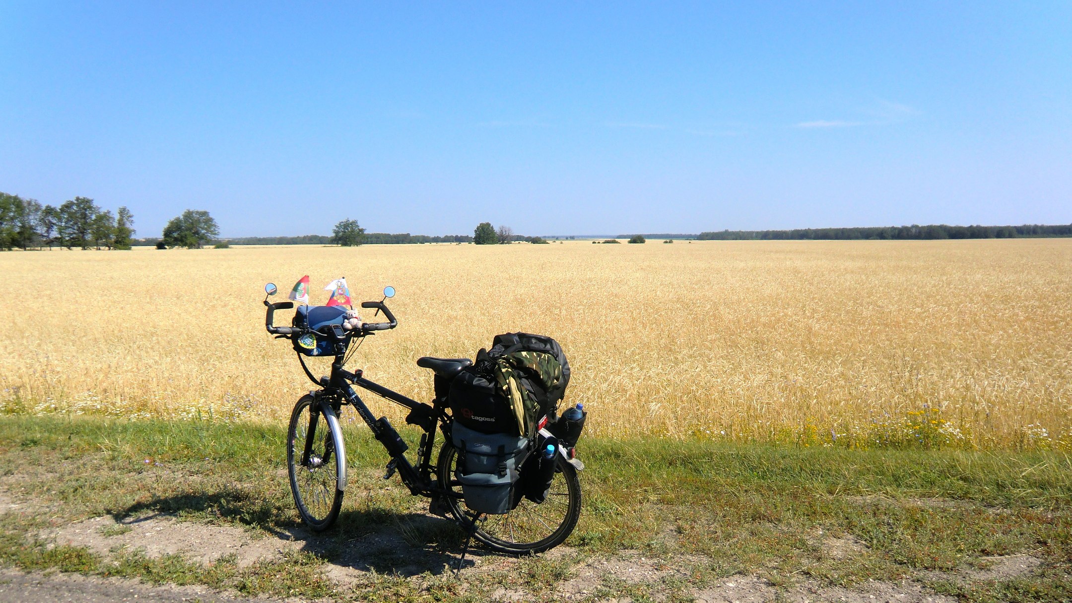
Tatarstan - endlose Weizenfelder auf dem Weg nach Bolgar
Topographic Map of Kuybyshevskoye vodokhranilishche, Kuybyshevskoye vdkhr., Russia
Find elevation by address:

Places near Kuybyshevskoye vodokhranilishche, Kuybyshevskoye vdkhr., Russia:
Recent Searches:
- Elevation of Corso Fratelli Cairoli, 35, Macerata MC, Italy
- Elevation of Tallevast Rd, Sarasota, FL, USA
- Elevation of 4th St E, Sonoma, CA, USA
- Elevation of Black Hollow Rd, Pennsdale, PA, USA
- Elevation of Oakland Ave, Williamsport, PA, USA
- Elevation of Pedrógão Grande, Portugal
- Elevation of Klee Dr, Martinsburg, WV, USA
- Elevation of Via Roma, Pieranica CR, Italy
- Elevation of Tavkvetili Mountain, Georgia
- Elevation of Hartfords Bluff Cir, Mt Pleasant, SC, USA