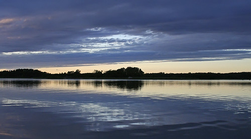
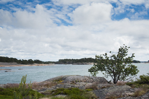
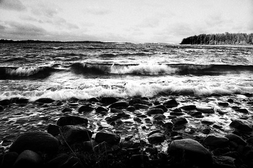
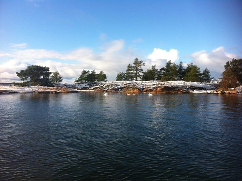
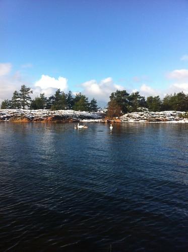
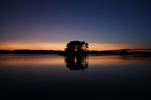
Elevation of Kustavi, Finland
Location: Finland >
Longitude: 21.1345021
Latitude: 60.6603621
Elevation: 0m / 0feet
Barometric Pressure: 101KPa
Related Photos:
Topographic Map of Kustavi, Finland
Find elevation by address:

Places in Kustavi, Finland:
Places near Kustavi, Finland:
Lahdenrannantie
Kustavi
Sorolantie 10, Uusikaupunki, Finland
Uusikaupunki
Koivukuja 4
Koivukuja
Muntontie 37, Uusikaupunki, Finland
Pyhäranta
Pajamäentie 1, Pyhäranta, Finland
Taivassalo
Hakkenpääntie, Taivassalo, Finland
Rauma
Lomapolku 14, Rauma, Finland
Vehmaa
Laurikkalantie 16, Rauma, Finland
Jampintie 10, Vehmaa, Finland
Rokintie, Rauma, Finland
Varhontie 10, Rauma, Finland
Rauma
Hartikkalantie 16, Laitila, Finland
Recent Searches:
- Elevation of Corso Fratelli Cairoli, 35, Macerata MC, Italy
- Elevation of Tallevast Rd, Sarasota, FL, USA
- Elevation of 4th St E, Sonoma, CA, USA
- Elevation of Black Hollow Rd, Pennsdale, PA, USA
- Elevation of Oakland Ave, Williamsport, PA, USA
- Elevation of Pedrógão Grande, Portugal
- Elevation of Klee Dr, Martinsburg, WV, USA
- Elevation of Via Roma, Pieranica CR, Italy
- Elevation of Tavkvetili Mountain, Georgia
- Elevation of Hartfords Bluff Cir, Mt Pleasant, SC, USA
