Elevation of Kurdamir, Azerbaijan
Location: Azerbaijan > Kurdamir >
Longitude: 48.1644626
Latitude: 40.3698651
Elevation: 13m / 43feet
Barometric Pressure: 101KPa
Elevation Map:
Satellite Map:
Related Photos:
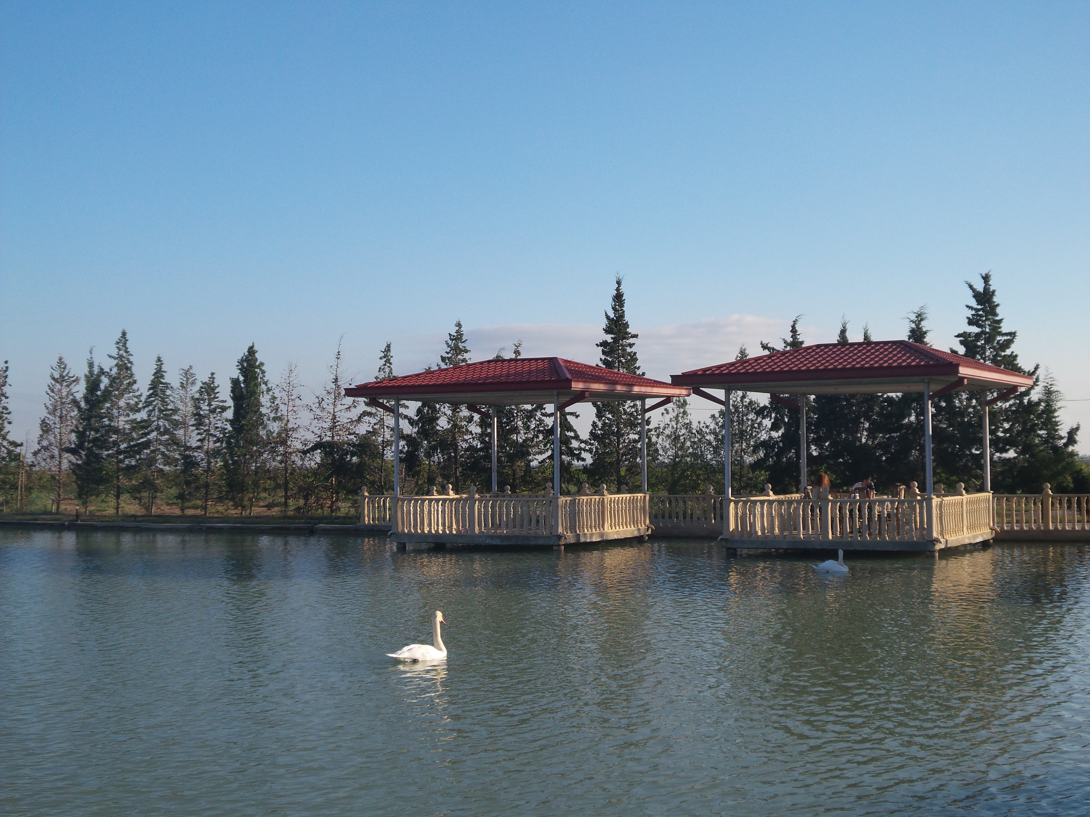
Duck duck
Topographic Map of Kurdamir, Azerbaijan
Find elevation by address:

Places near Kurdamir, Azerbaijan:
Kurdamir
Sigirli
Hajimustafali
Sarisu Lake
Goychay
İsmayıllı Rayonu
Ismailli
Diyallı
Ivanovka
Unnamed Road
Sabirabad
Saatli
Imishli
Imishli
Sabirabad
Qobustan
Parsabad
Bilasuvar
Bilasuvar
Bileh Savar
Recent Searches:
- Elevation of Corso Fratelli Cairoli, 35, Macerata MC, Italy
- Elevation of Tallevast Rd, Sarasota, FL, USA
- Elevation of 4th St E, Sonoma, CA, USA
- Elevation of Black Hollow Rd, Pennsdale, PA, USA
- Elevation of Oakland Ave, Williamsport, PA, USA
- Elevation of Pedrógão Grande, Portugal
- Elevation of Klee Dr, Martinsburg, WV, USA
- Elevation of Via Roma, Pieranica CR, Italy
- Elevation of Tavkvetili Mountain, Georgia
- Elevation of Hartfords Bluff Cir, Mt Pleasant, SC, USA