Elevation of Kunigami District, Okinawa Prefecture, Japan
Location: Japan > Okinawa Prefecture >
Longitude: 128.13
Latitude: 26.641667
Elevation: 146m / 479feet
Barometric Pressure: 100KPa
Elevation Map:
Satellite Map:
Related Photos:
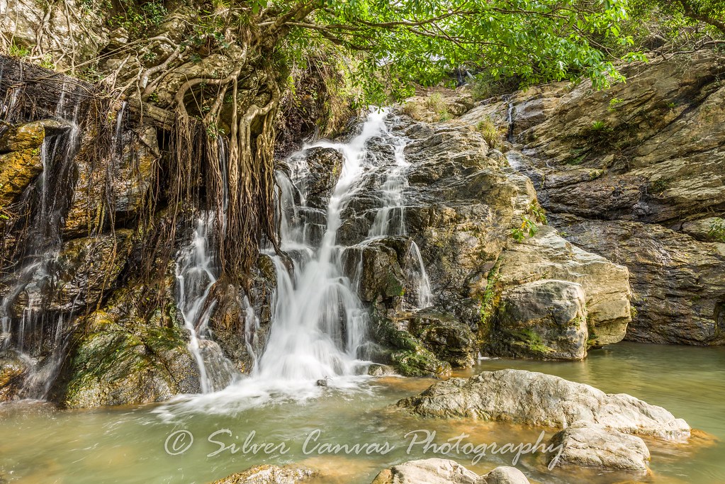
Azaka Falls

Cherry Blossom View

Cherry Blossom View
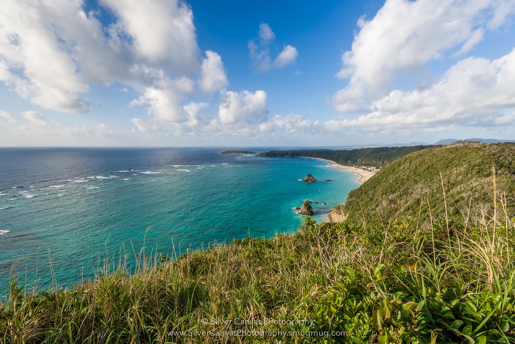
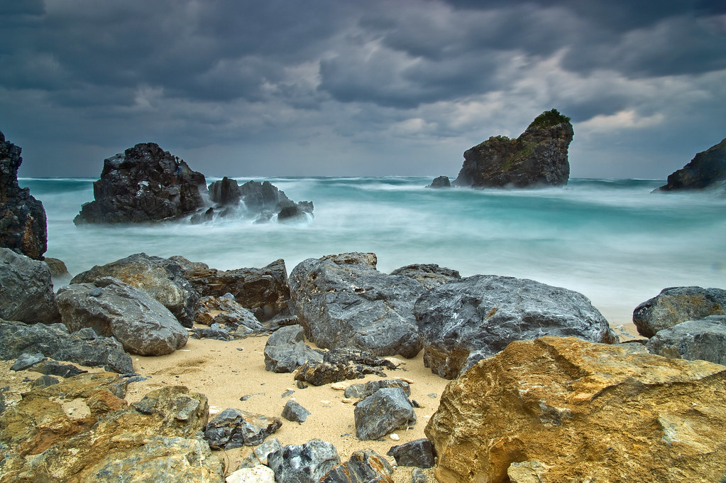
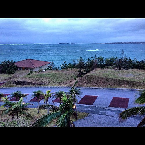
Northern Coastline, Okinawa

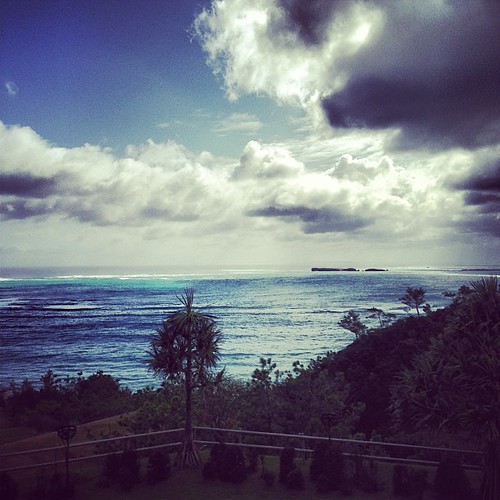
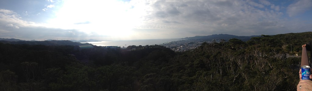
The closest thing to a view from near the top of Yonahadake
Motabu Peninsula

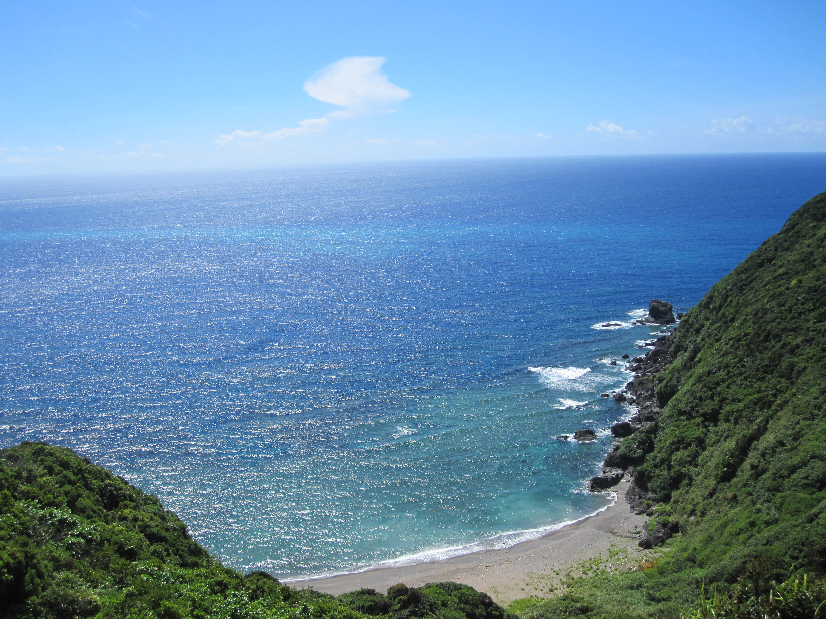
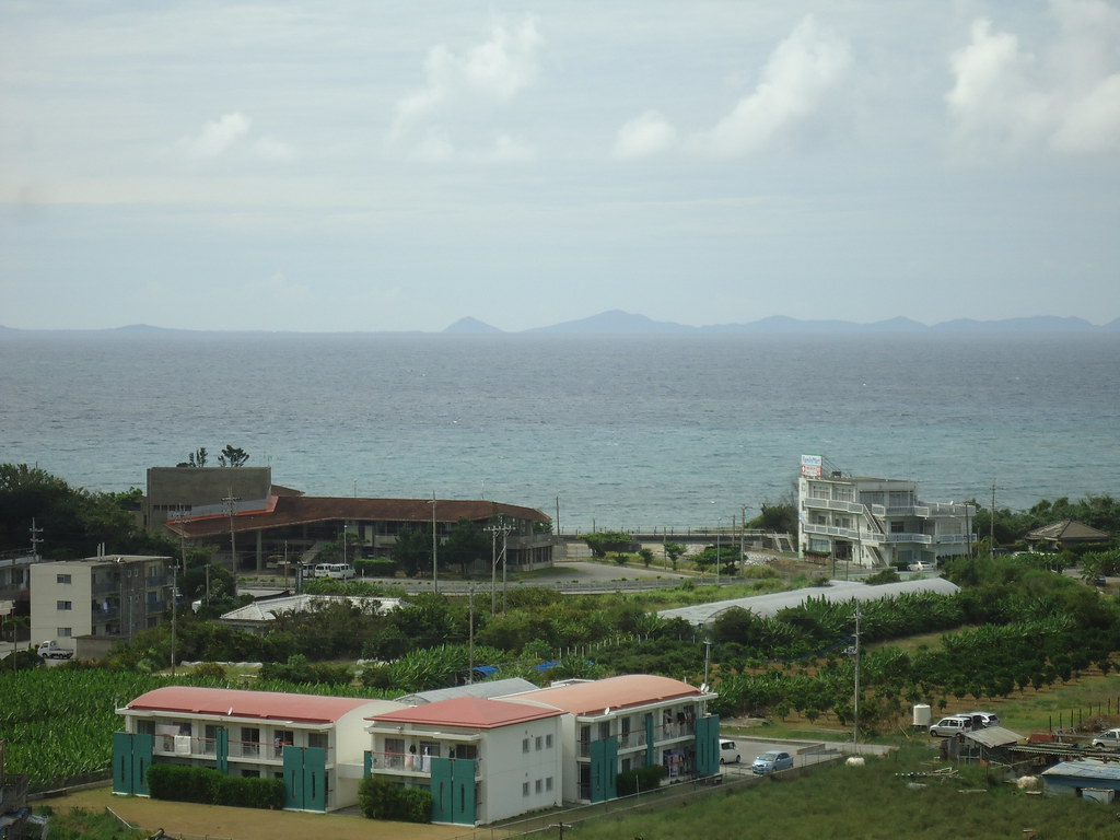
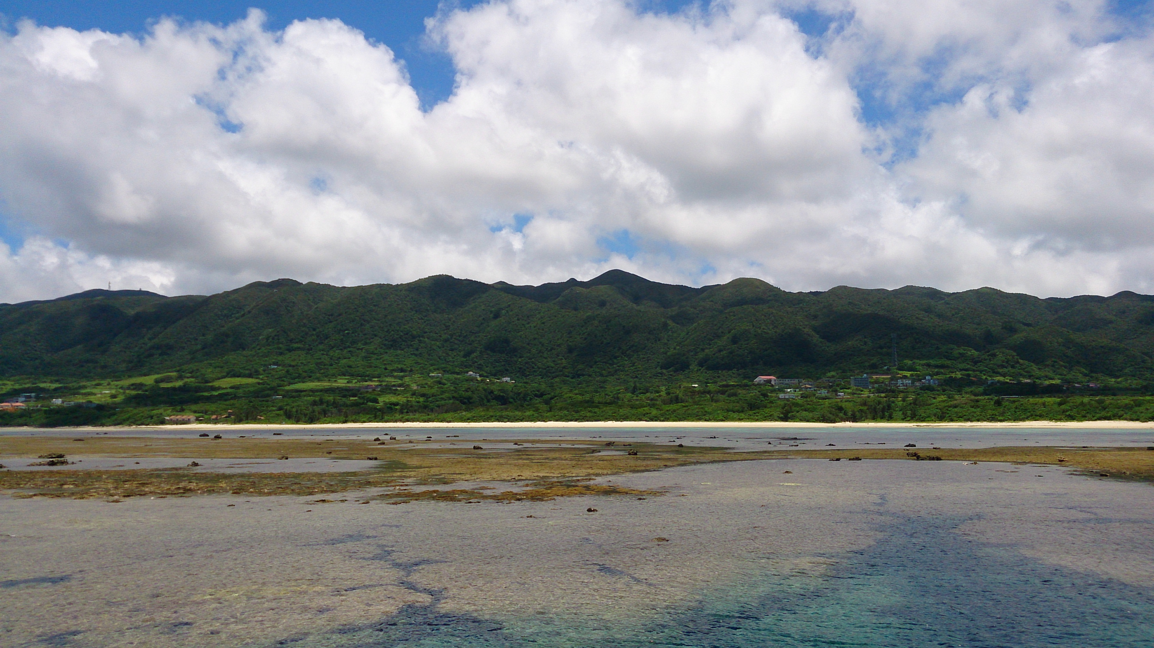
View of the Sea from Ôgimi
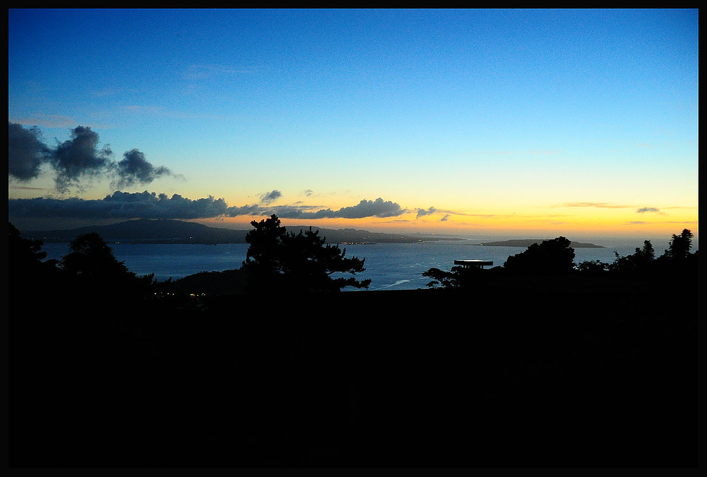
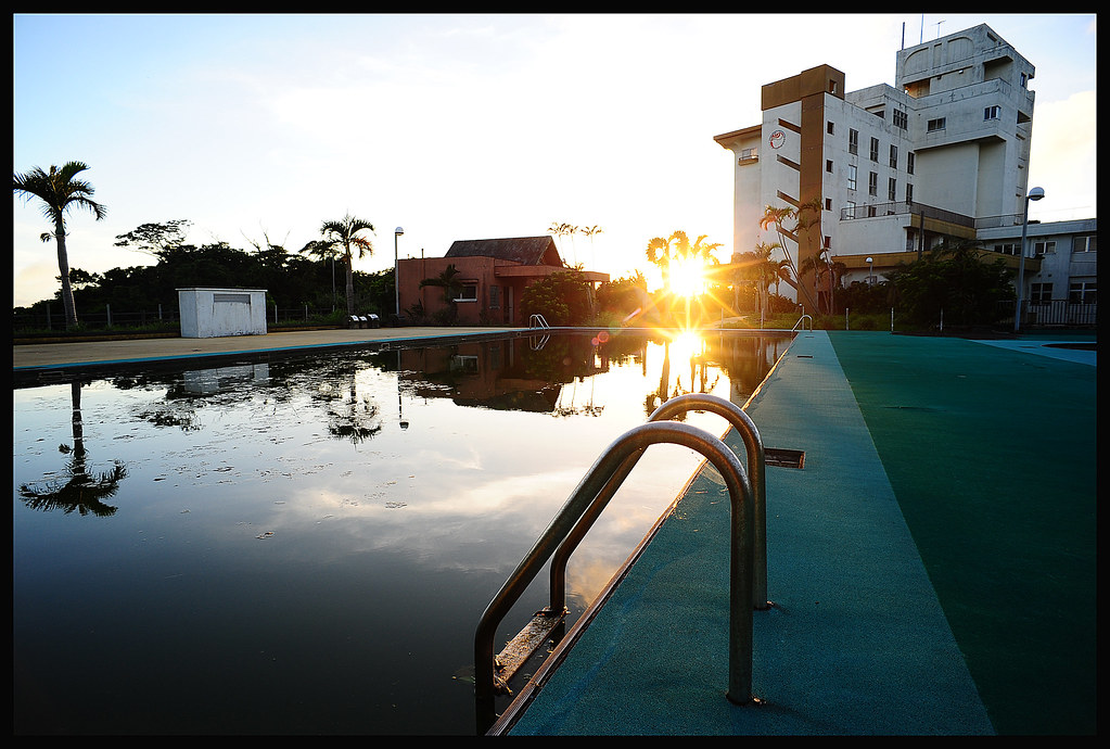
Sunset View Inn Shah Bay
Twin Suns
Forgotten Plaything
The Sea of Takae

The Hatch
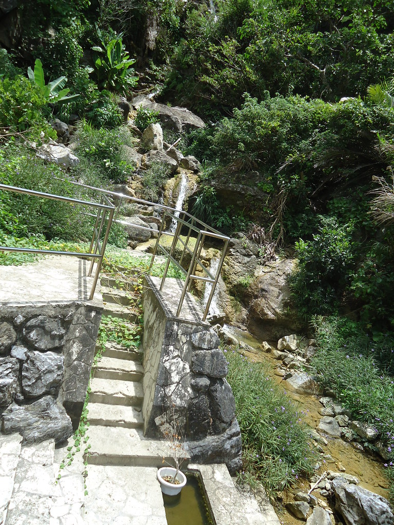
View of the Waterfall
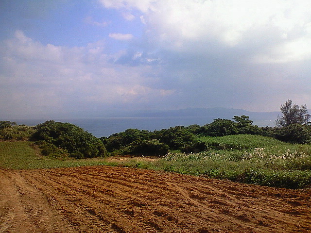
Ôgimi from Above
Empty Space
Hiji Waterfall

Nago Cherry Blossom View
20150828-DSCF1552
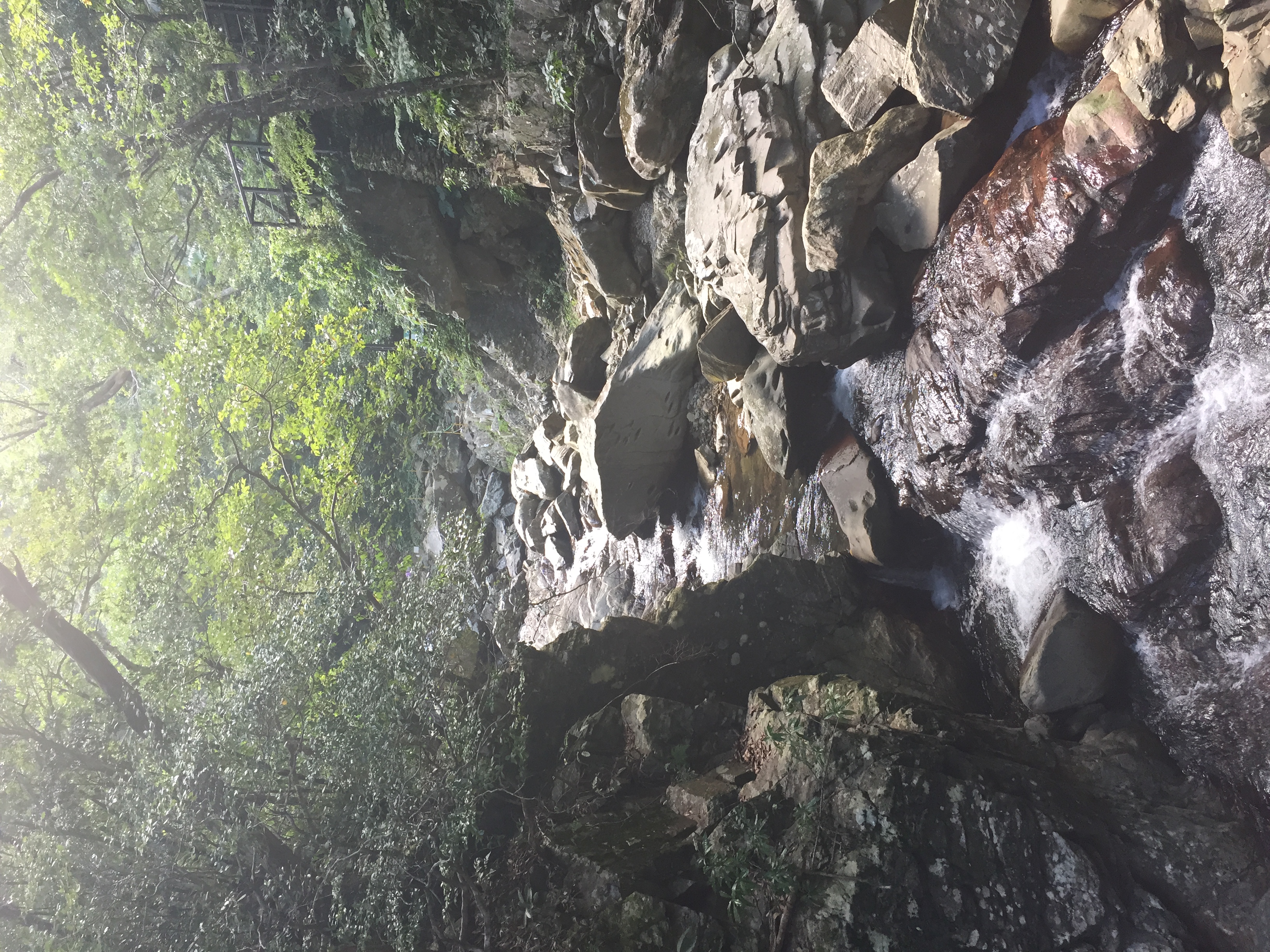
Hiji Waterfall

Walking on a narrow path to the sea

Kayaking into a mangrove swamp of Okinawa, Japan

古宇利大橋を眺める
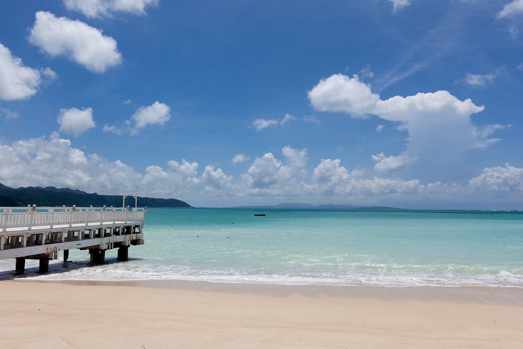
Summer Beach!

Mangrove swamp in winter, southern Japan
2010 1 13 Okuma Beaches 132
今ごろ晴れてくるとか
おはようございます。沖縄の朝は今日も曇天(ノД`;)シクシク

海がもう少しきれいならなぁ。でもきれい。

夏天結束以前
Ishigaki 2014

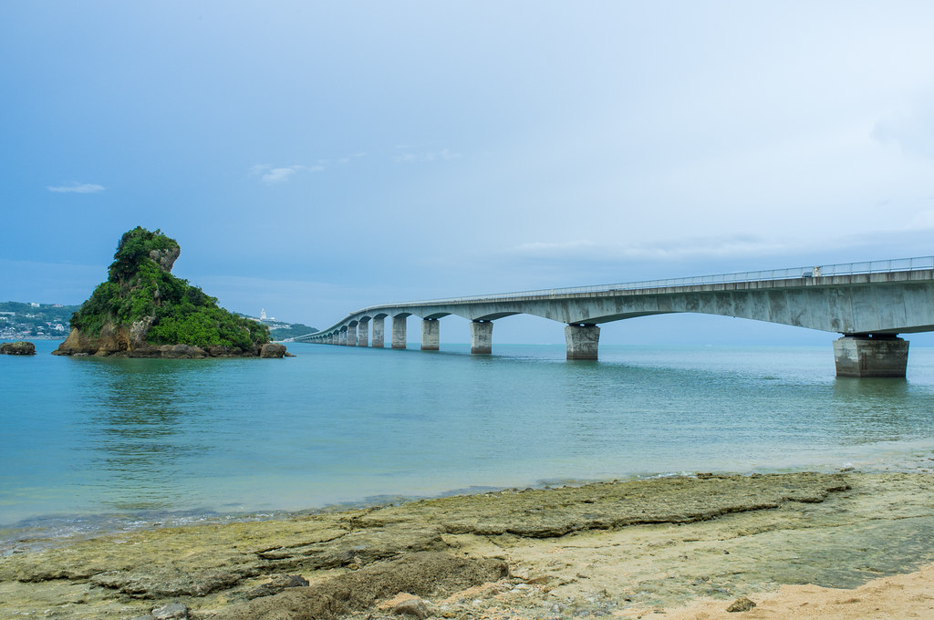
古宇利大橋

古宇利大橋

古宇利島からの夕陽
NEC_0436.JPG

古宇利大橋

Moody mangroves, Kesaji, Okinawa
2014-01-12 15.28.07

2014-07-26 14.38.02
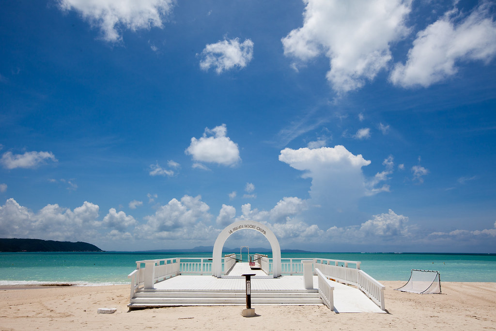
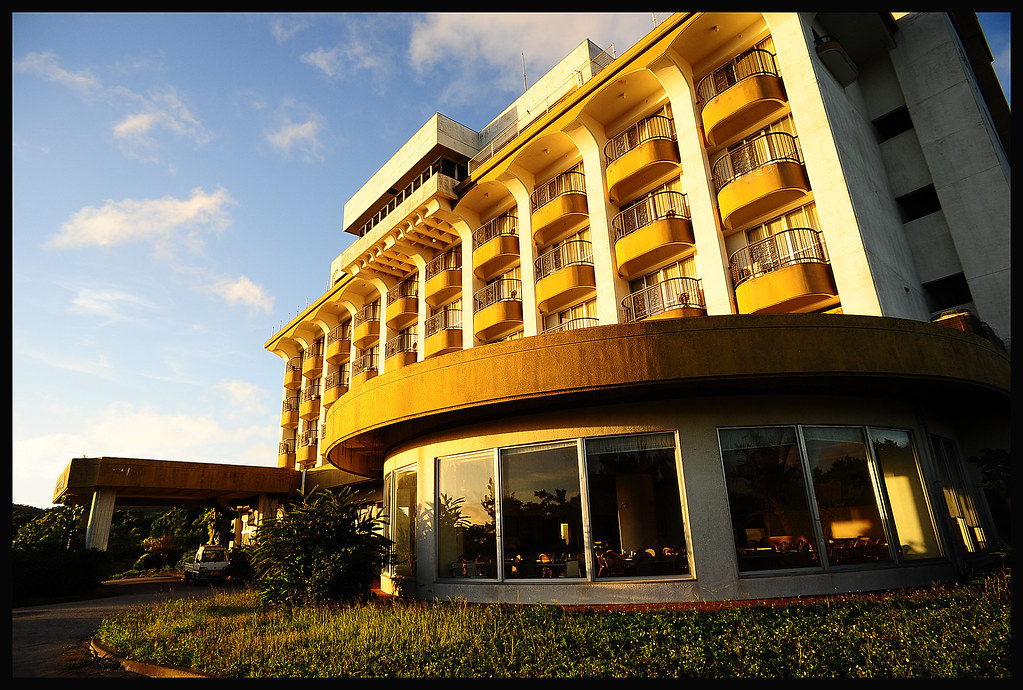
JAL Private Resort Okuma
Topographic Map of Kunigami District, Okinawa Prefecture, Japan
Find elevation by address:

Places in Kunigami District, Okinawa Prefecture, Japan:
Onna
Motobu
Nakijin
Ogimi
Kin
Ie
Higashi
Ginoza
Ada, Kunigami-son, Kunigami-gun, Okinawa-ken -, Japan
85 Tōbaru, Kunigami-son, Kunigami-gun, Okinawa-ken -, Japan
Places near Kunigami District, Okinawa Prefecture, Japan:
- Shirahama, Ōgimi-son, Kunigami-gun, Okinawa-ken -, Japan
69 Taminato, Ōgimi-son, Kunigami-gun, Okinawa-ken -, Japan
Higashi
Nerome, Ōgimi-son, Kunigami-gun, Okinawa-ken -, Japan
Kawata, Higashi-son, Kunigami-gun, Okinawa-ken -, Japan
Ogimi
15 Teniya, Nago-shi, Okinawa-ken -, Japan
Abu, Nago-shi, Okinawa-ken -, Japan
Teima, Nago-shi, Okinawa-ken -, Japan
-4 Burikena, Nago-shi, Okinawa-ken -, Japan
Kouri, Nakijin-son, Kunigami-gun, Okinawa-ken -, Japan
Nago
2 Chome-14-12 Minato, Nago-shi, Okinawa-ken -, Japan
Nakijin
Ginoza, Ginoza-son, Kunigami-gun, Okinawa-ken -, Japan
Ginoza
Yonashiroikei, Uruma-shi, Okinawa-ken -, Japan
Yonashirouehara, Uruma-shi, Okinawa-ken -, Japan
Recent Searches:
- Elevation of Corso Fratelli Cairoli, 35, Macerata MC, Italy
- Elevation of Tallevast Rd, Sarasota, FL, USA
- Elevation of 4th St E, Sonoma, CA, USA
- Elevation of Black Hollow Rd, Pennsdale, PA, USA
- Elevation of Oakland Ave, Williamsport, PA, USA
- Elevation of Pedrógão Grande, Portugal
- Elevation of Klee Dr, Martinsburg, WV, USA
- Elevation of Via Roma, Pieranica CR, Italy
- Elevation of Tavkvetili Mountain, Georgia
- Elevation of Hartfords Bluff Cir, Mt Pleasant, SC, USA