Elevation of Kundiawa, Papua New Guinea
Location: Papua New Guinea > Chimbu Province > Kundiawa-gembogl District >
Longitude: 144.969444
Latitude: -6.0240888
Elevation: 1494m / 4902feet
Barometric Pressure: 85KPa
Elevation Map:
Satellite Map:
Related Photos:
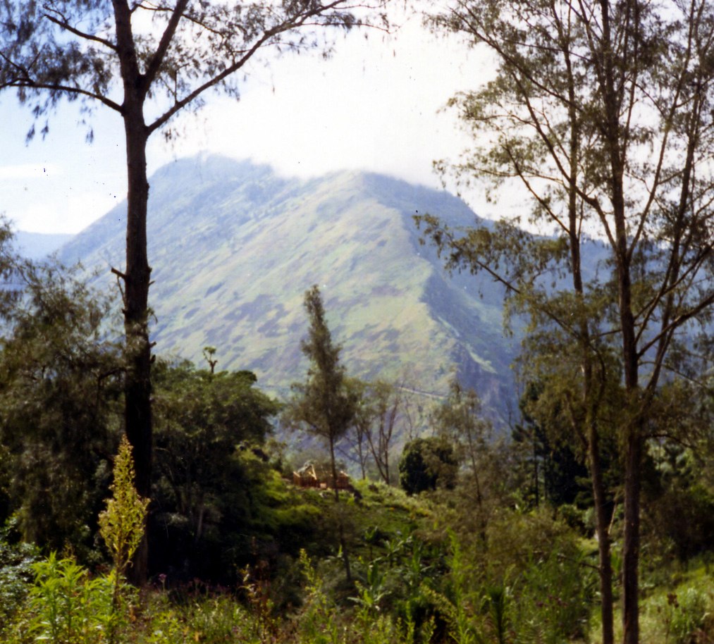
184 L Highlands ridge on trip down, stuck in 3rd gear, L30-184
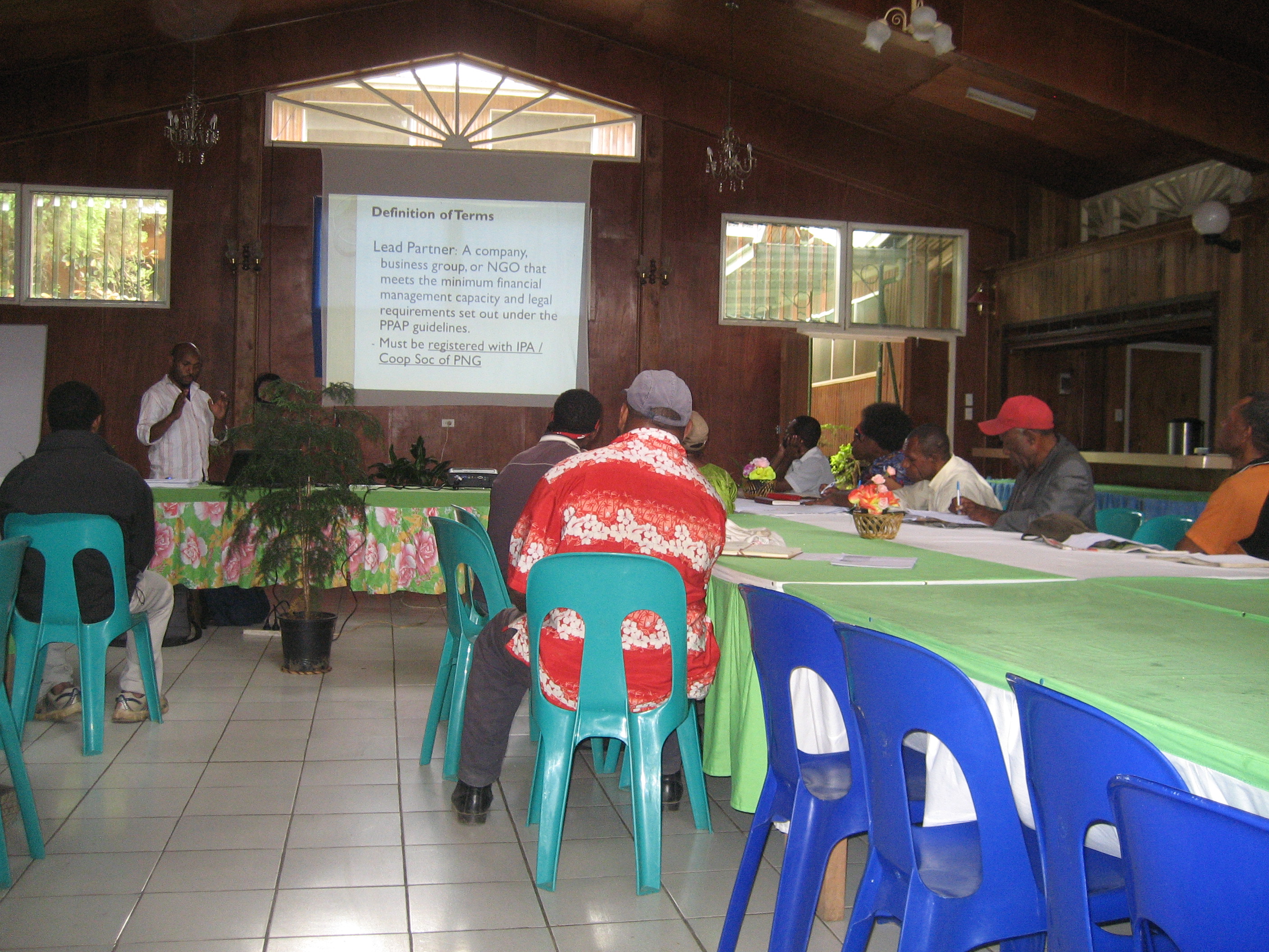
PPAP Roadshow
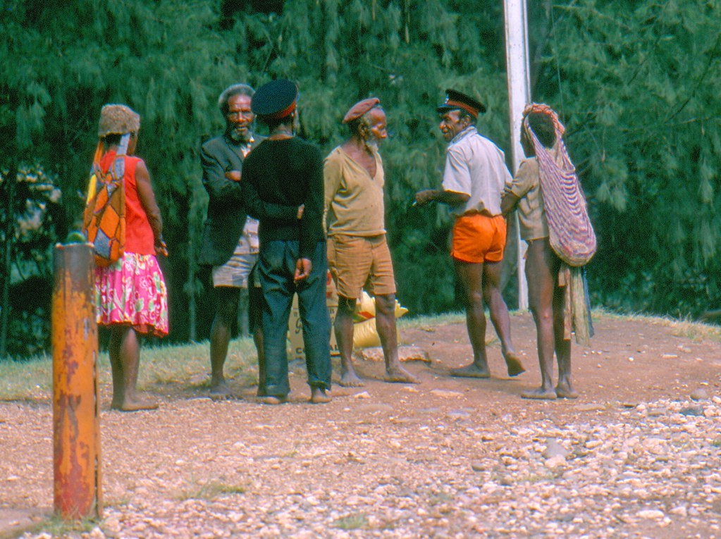
168 Papua New Guinea 1978
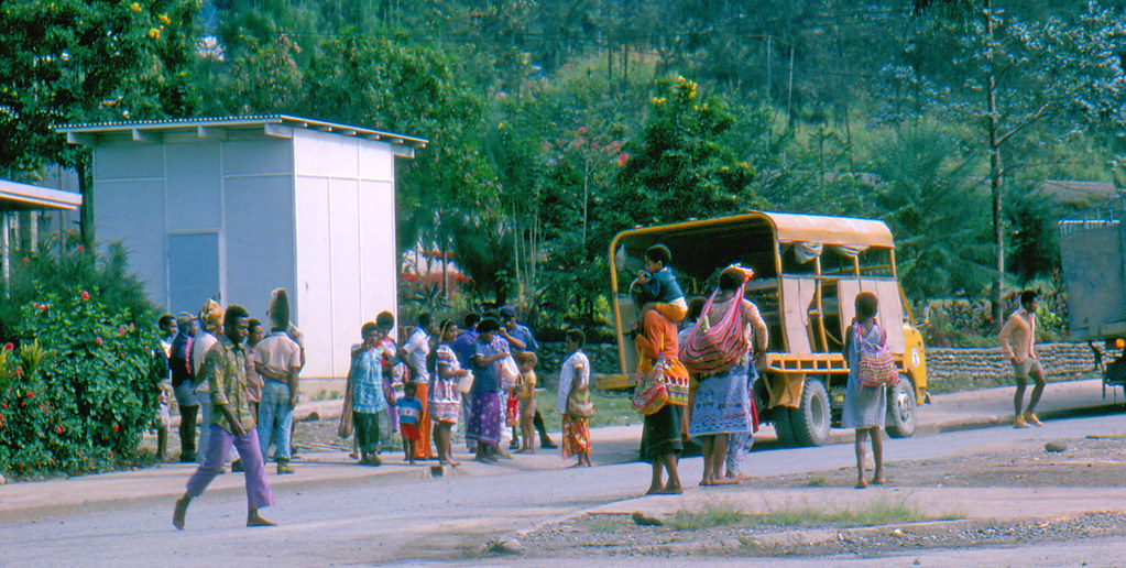
169 Papua New Guinea 1978
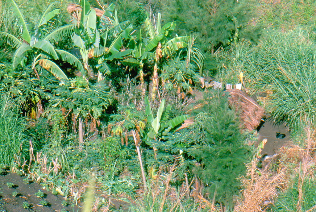
167 Papua New Guinea 1978
Topographic Map of Kundiawa, Papua New Guinea
Find elevation by address:

Places near Kundiawa, Papua New Guinea:
Kundiawa-gembogl District
Siba
Kondiu Rosary Secondary
Kugaku
Chuave
Gembogl
Mount Wilhelm
Chimbu Province
Goroka
Pinero Airport
Okapa
Eastern Highlands Province
Ukarumpa
Yonki Dam
Recent Searches:
- Elevation of Corso Fratelli Cairoli, 35, Macerata MC, Italy
- Elevation of Tallevast Rd, Sarasota, FL, USA
- Elevation of 4th St E, Sonoma, CA, USA
- Elevation of Black Hollow Rd, Pennsdale, PA, USA
- Elevation of Oakland Ave, Williamsport, PA, USA
- Elevation of Pedrógão Grande, Portugal
- Elevation of Klee Dr, Martinsburg, WV, USA
- Elevation of Via Roma, Pieranica CR, Italy
- Elevation of Tavkvetili Mountain, Georgia
- Elevation of Hartfords Bluff Cir, Mt Pleasant, SC, USA