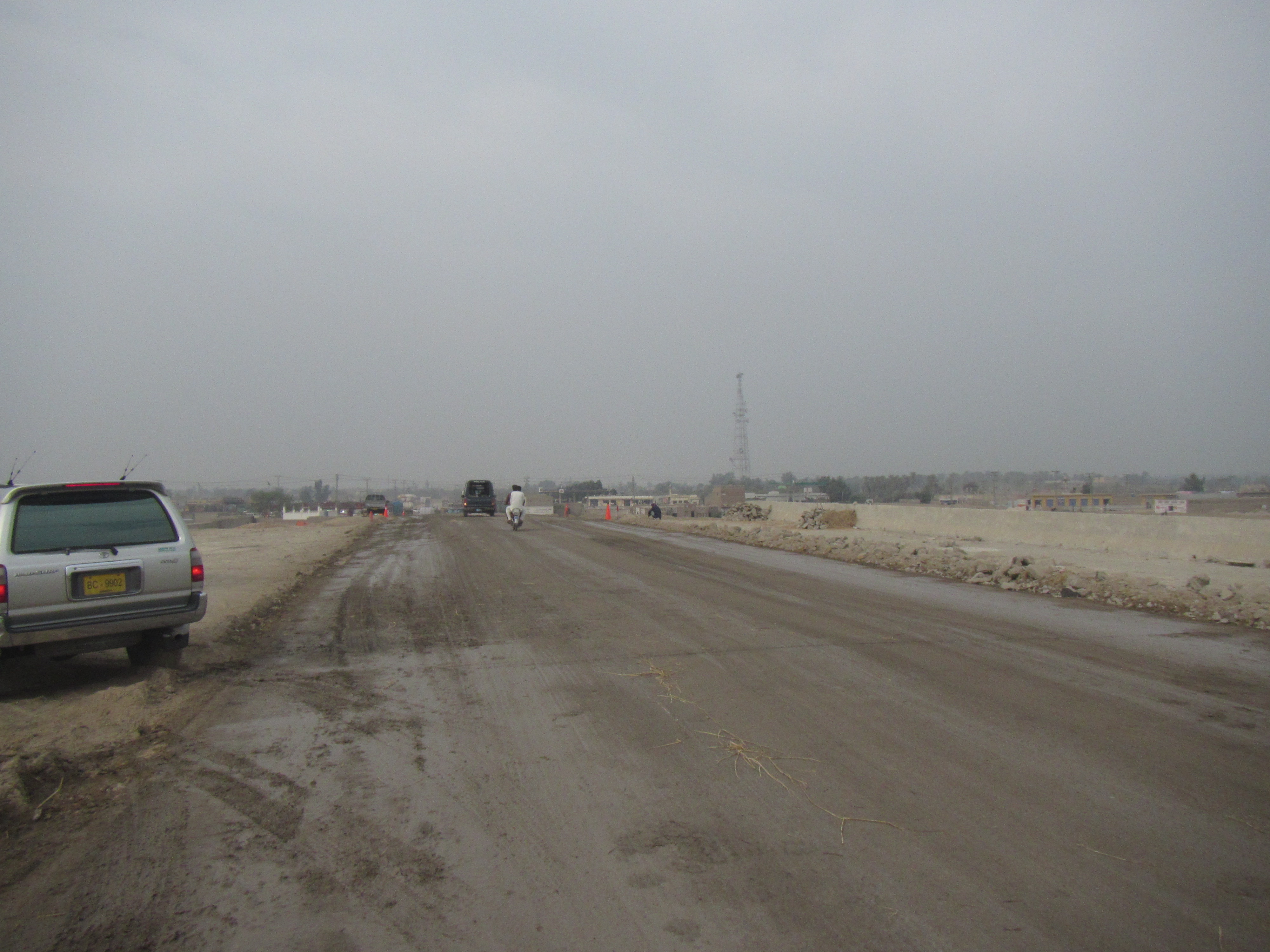
Elevation of Kundan Tea Stall, Indus Hwy, Shikarpur, Sindh, Pakistan
Location: Pakistan > Sindh >
Longitude: 68.6594365
Latitude: 27.9636099
Elevation: 68m / 223feet
Barometric Pressure: 101KPa
Elevation Map:
Satellite Map:
Related Photos:
IMG_0607
Old Place II

Abdul Rehman Rind

Pakistan: Razia has received a cash voucher

Pakistan: Identity check at an Oxfam cash voucher distribution
Temple #templearchitecture #temple #courtyard #perfectsquare #oasis

Circumambulation #circle #ants #antcircle

Pakistan: Explaining how to use a check

Pakistan: Razia's check
Topographic Map of Kundan Tea Stall, Indus Hwy, Shikarpur, Sindh, Pakistan
Find elevation by address:

Places near Kundan Tea Stall, Indus Hwy, Shikarpur, Sindh, Pakistan:
Shikarpur
Sukkur
Jaffarabad
Sukkur
Sukkur Barrage
Eid Gah Road
Sukkur Barrage
Eid Gah Road
Eid Gah Road
Lloyd Barrage Museum
Sadhu Bela Gate
Sadhu Bela Mandir
Bukkur
Lansdowne Bridge - Sukkur Sindh
Rcw Rohri
Ratodero
Bhutto Family Mausoleum
Garhi Khuda Bakhsh
Faiz Mahal
Faiz Mahal
Recent Searches:
- Elevation of Corso Fratelli Cairoli, 35, Macerata MC, Italy
- Elevation of Tallevast Rd, Sarasota, FL, USA
- Elevation of 4th St E, Sonoma, CA, USA
- Elevation of Black Hollow Rd, Pennsdale, PA, USA
- Elevation of Oakland Ave, Williamsport, PA, USA
- Elevation of Pedrógão Grande, Portugal
- Elevation of Klee Dr, Martinsburg, WV, USA
- Elevation of Via Roma, Pieranica CR, Italy
- Elevation of Tavkvetili Mountain, Georgia
- Elevation of Hartfords Bluff Cir, Mt Pleasant, SC, USA