Elevation of Kumasi, Ghana
Location: Ghana > Ashanti Region > Kumasi Metropolitan >
Longitude: -1.6162709
Latitude: 6.6666004
Elevation: 259m / 850feet
Barometric Pressure: 98KPa
Elevation Map:
Satellite Map:
Related Photos:

Street Wreck
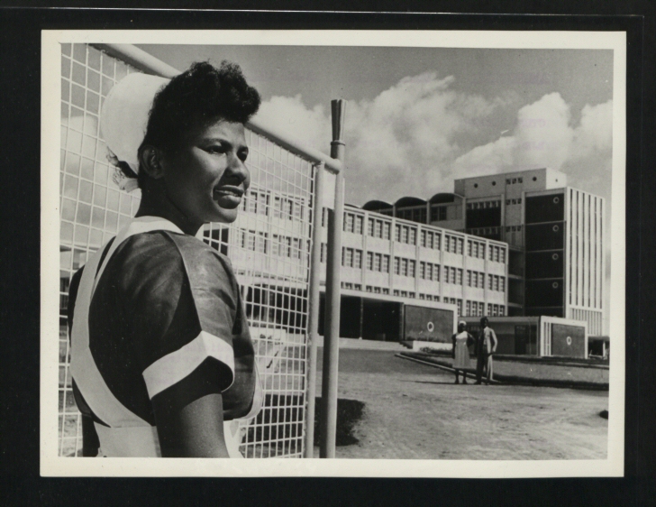
CO 1069-46-49
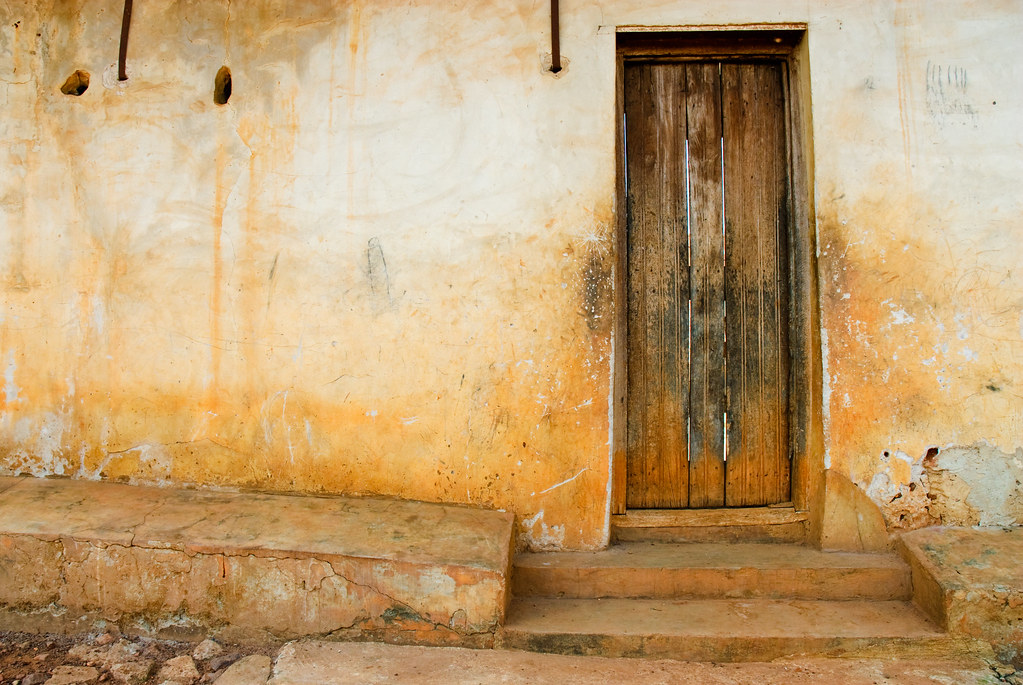
Door Frame
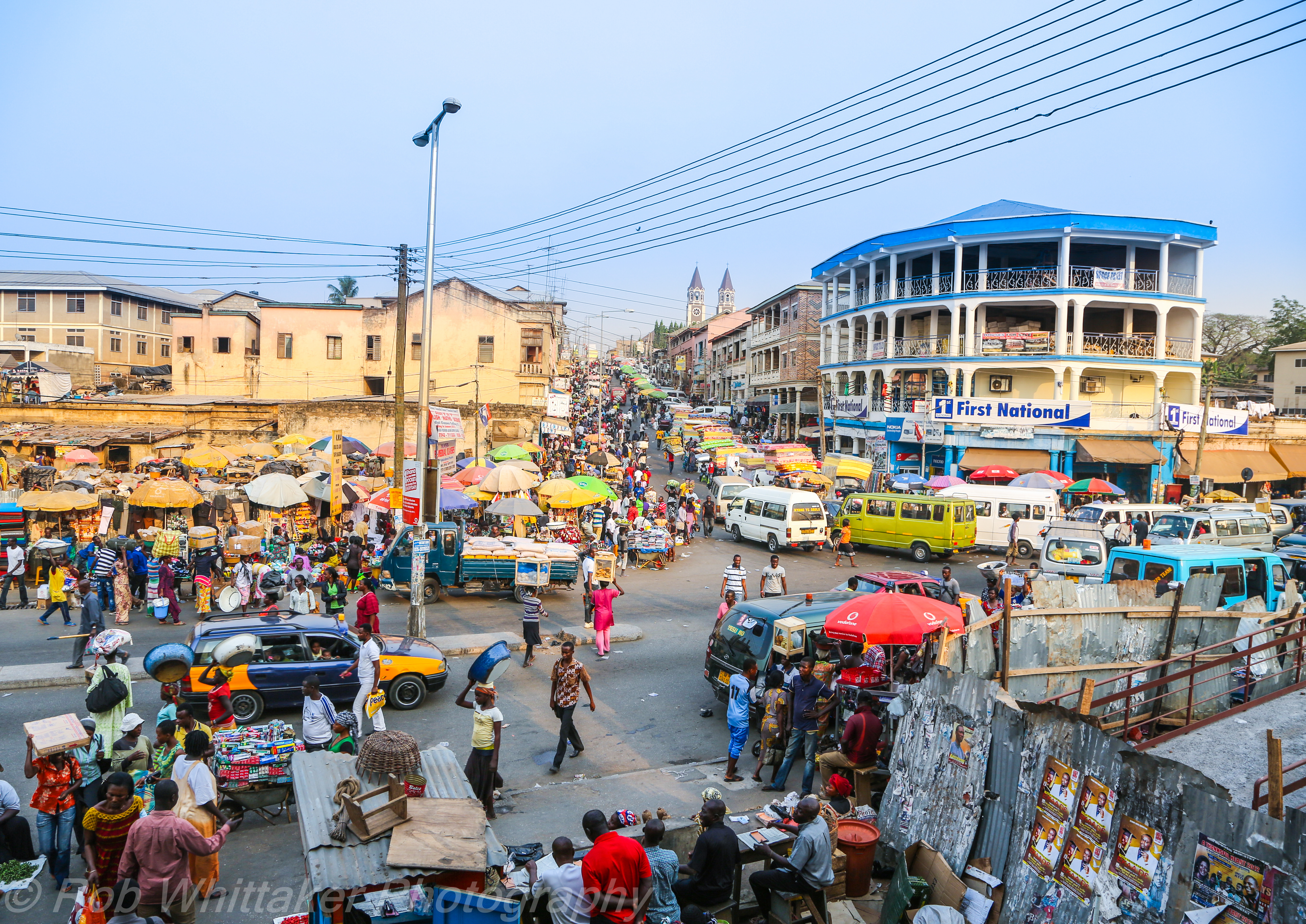
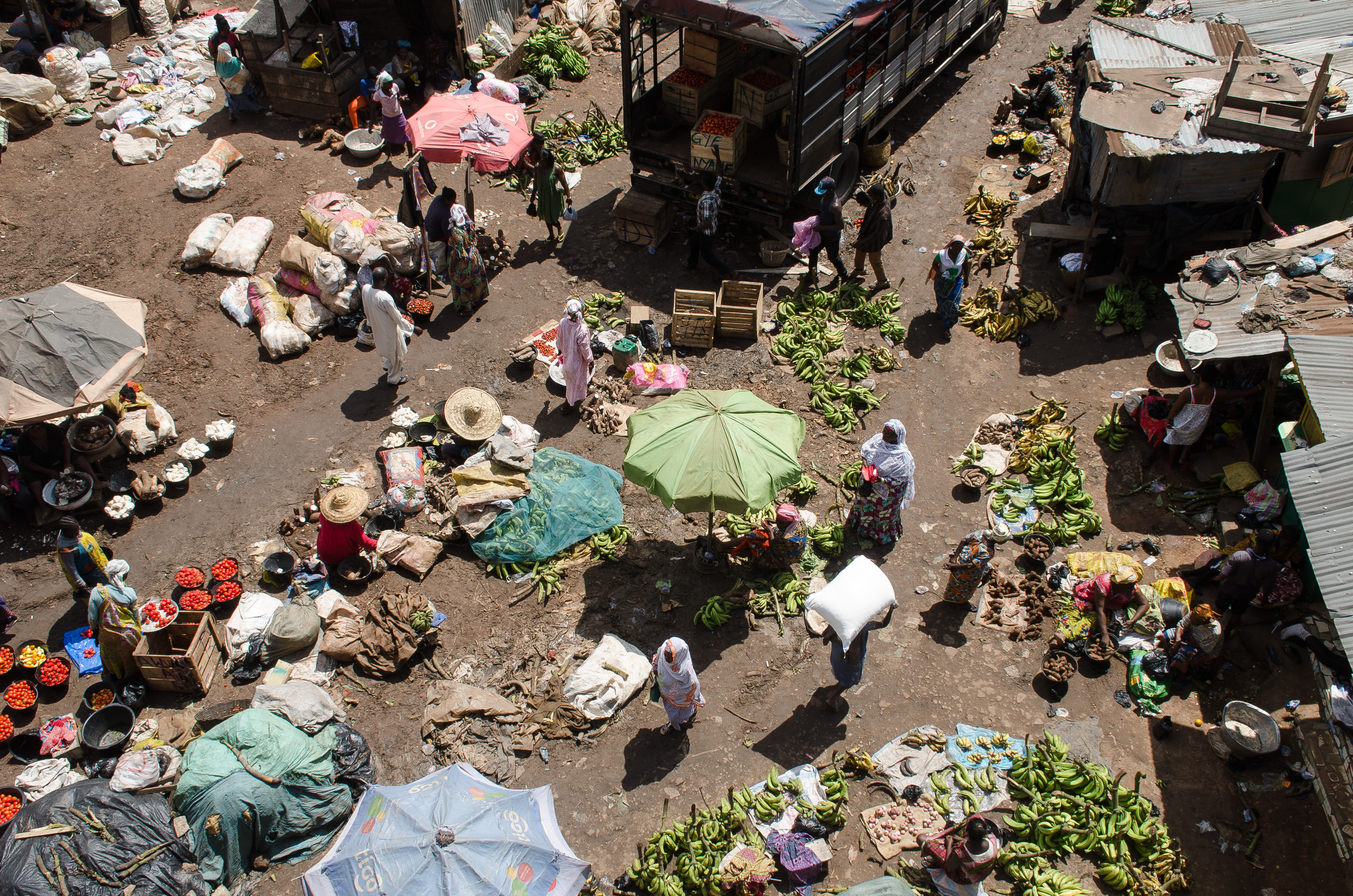
Market Day Ghana
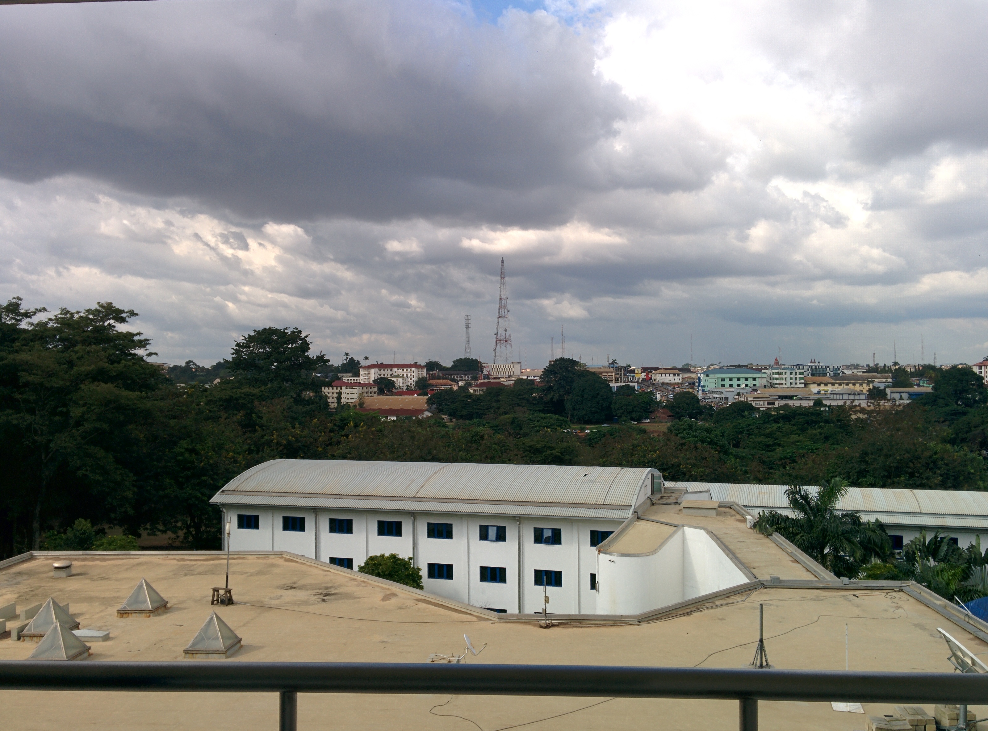
A view into town

Motor Leader
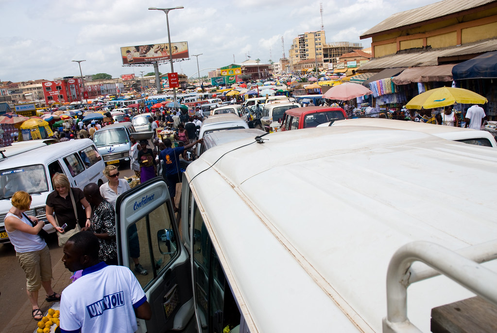
Traffic in Kumasi

Dr. Alder and Carl

Buying a Mango in Kumasi

Dollar Dollar Bill Yall

Tad and I in Kumasi
Kejetia Market
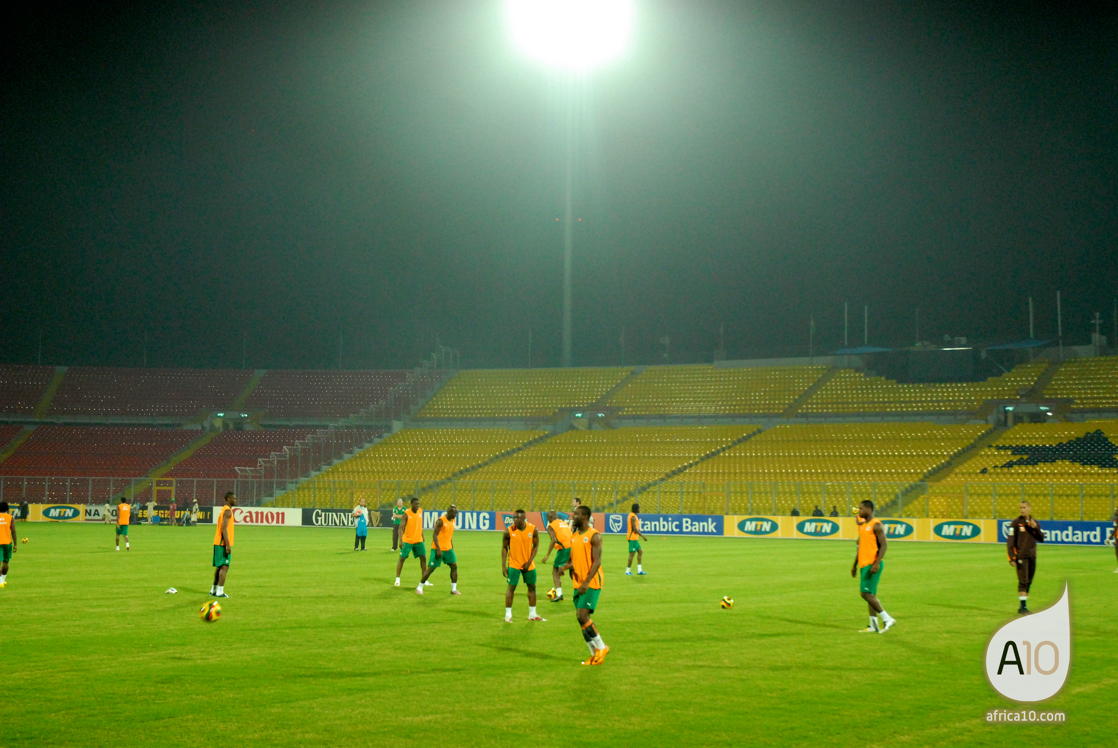
Professional Players in Ghana
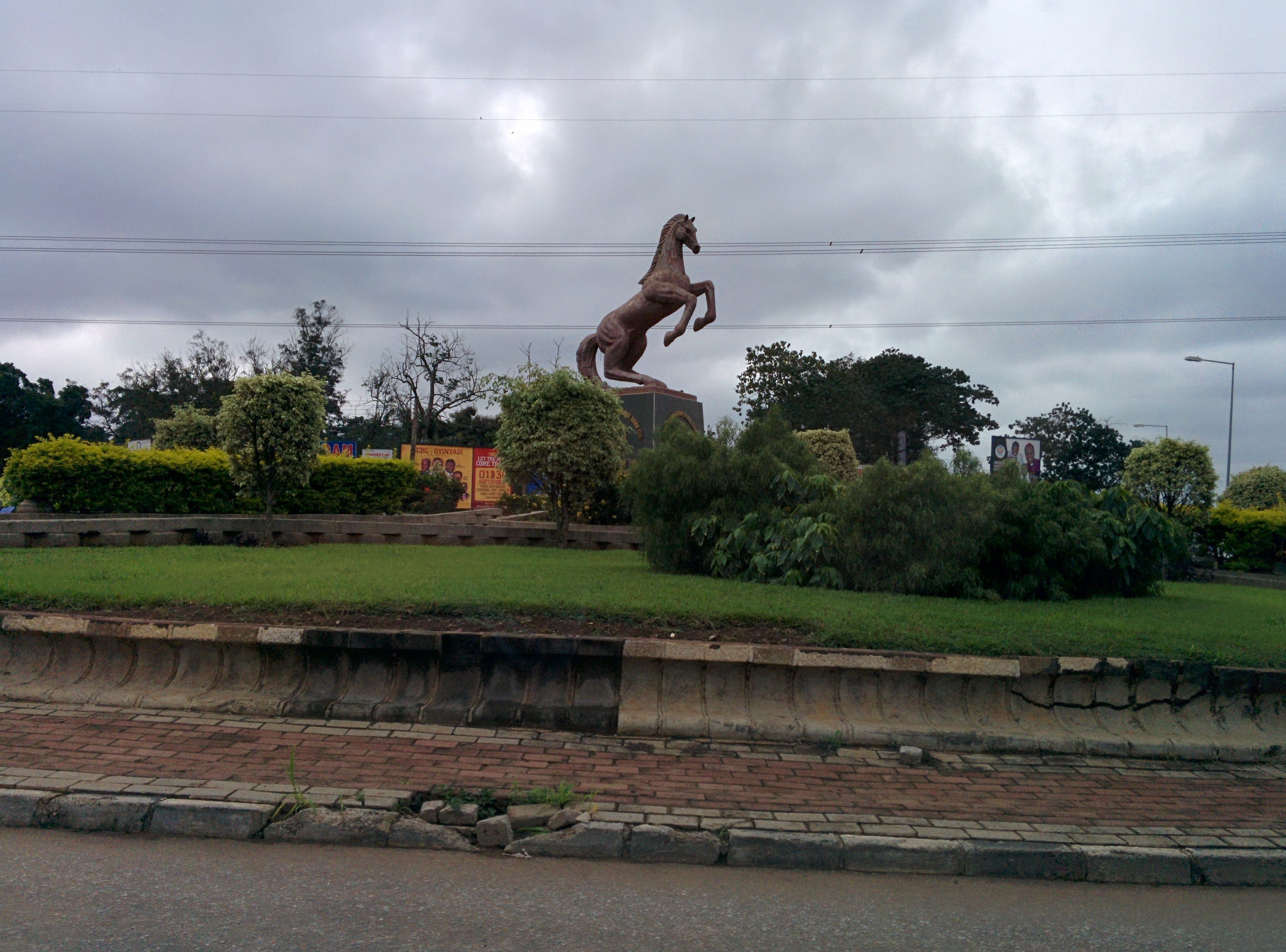
Roundabout Horse
Topographic Map of Kumasi, Ghana
Find elevation by address:

Places in Kumasi, Ghana:
Kwadaso
Apemso
Owusu-ansah Avenue
Kwame Nkrumah University Of Science And Technology
Mamponteng
Atasomanso
Adum
Ahodwo
Amakom
Kotei
Tafo
Places near Kumasi, Ghana:
Owusu-ansah Avenue
Kumasi City Mall
Ahodwo
Amakom
Adum
Atasomanso
Kwadaso
Kwame Nkrumah University Of Science And Technology
Owusu Ansa
Kumasi International Airport
Kotei
Kumasi Metropolitan
Tafo
Apemso
Fumesua
Ejisu
Ashanti Region
Mamponteng
Kwabre
Ahenkro
Recent Searches:
- Elevation of Corso Fratelli Cairoli, 35, Macerata MC, Italy
- Elevation of Tallevast Rd, Sarasota, FL, USA
- Elevation of 4th St E, Sonoma, CA, USA
- Elevation of Black Hollow Rd, Pennsdale, PA, USA
- Elevation of Oakland Ave, Williamsport, PA, USA
- Elevation of Pedrógão Grande, Portugal
- Elevation of Klee Dr, Martinsburg, WV, USA
- Elevation of Via Roma, Pieranica CR, Italy
- Elevation of Tavkvetili Mountain, Georgia
- Elevation of Hartfords Bluff Cir, Mt Pleasant, SC, USA