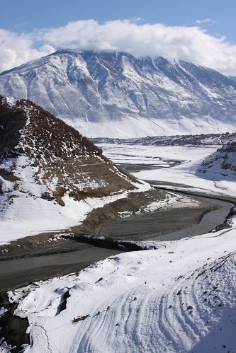
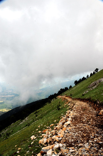
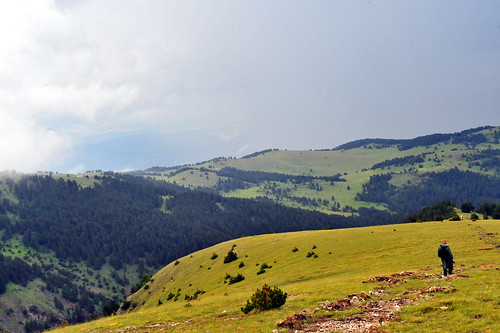
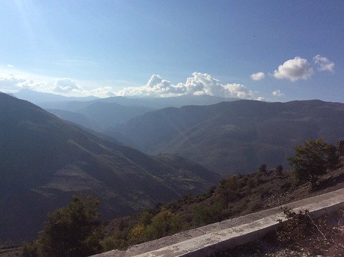
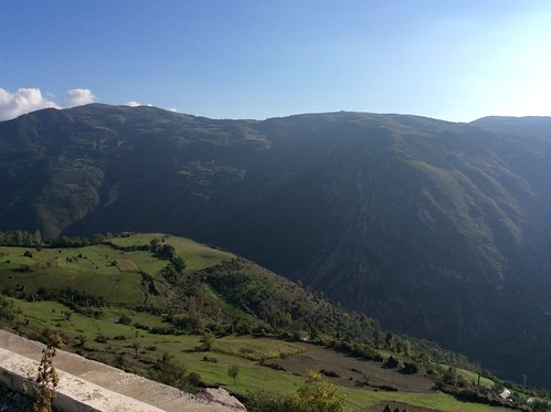
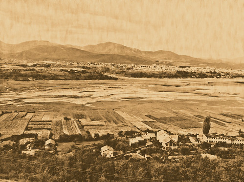
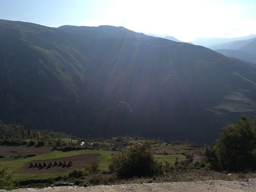
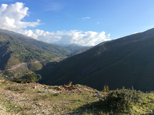
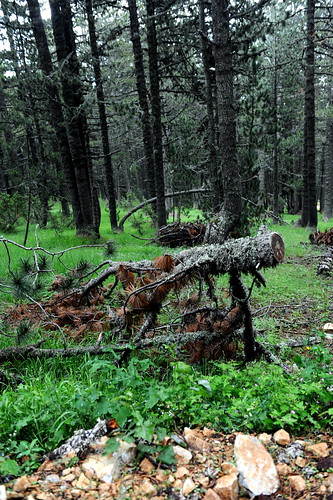
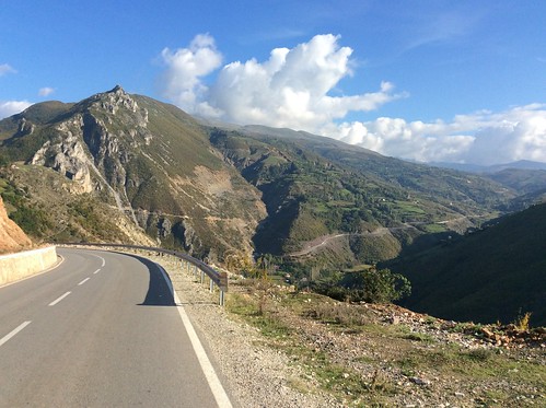
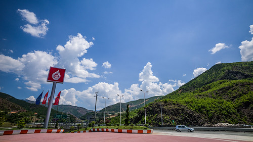
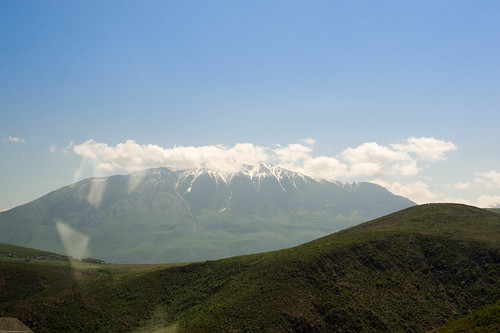
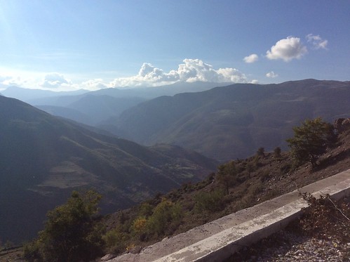
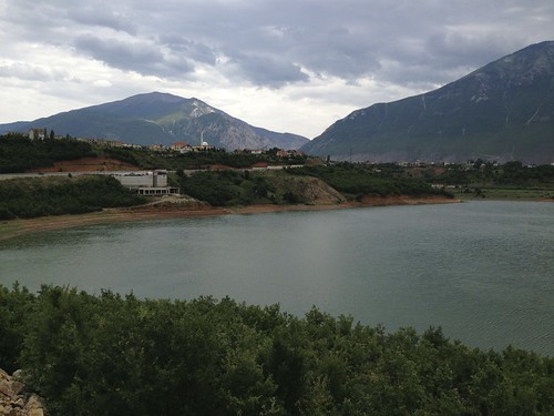
Elevation map of Kukës County, Albania
Location: Albania >
Longitude: 20.4262088
Latitude: 42.0120271
Elevation: 515m / 1690feet
Barometric Pressure: 95KPa
Related Photos:
Topographic Map of Kukës County, Albania
Find elevation by address:

Places in Kukës County, Albania:
Places near Kukës County, Albania:
Kukës
Dragash
Mount Korab
Dibër District
Ezerski Rid
Titov Vrv
Rudoka
Ndërshenë
Kurbnesh
Bigorski Monastery St John The Baptist
Novo Selo
Mavrovi Anovi
Municipality Of Mavrovo And Rostusha
Popova Shapka
Municipality Of Bogovinje
Dibër County
Mavrovo
Nikiforovo
Municipality Of Tetovo
Puka
Recent Searches:
- Elevation of Corso Fratelli Cairoli, 35, Macerata MC, Italy
- Elevation of Tallevast Rd, Sarasota, FL, USA
- Elevation of 4th St E, Sonoma, CA, USA
- Elevation of Black Hollow Rd, Pennsdale, PA, USA
- Elevation of Oakland Ave, Williamsport, PA, USA
- Elevation of Pedrógão Grande, Portugal
- Elevation of Klee Dr, Martinsburg, WV, USA
- Elevation of Via Roma, Pieranica CR, Italy
- Elevation of Tavkvetili Mountain, Georgia
- Elevation of Hartfords Bluff Cir, Mt Pleasant, SC, USA
