Elevation of Krista Cir, Parkers Prairie, MN, USA
Location: United States > Minnesota > Otter Tail County >
Longitude: -95.338497
Latitude: 46.151907
Elevation: 447m / 1467feet
Barometric Pressure: 96KPa
Elevation Map:
Satellite Map:
Related Photos:

Minnesota farmland

Beautiful day for a bike ride!
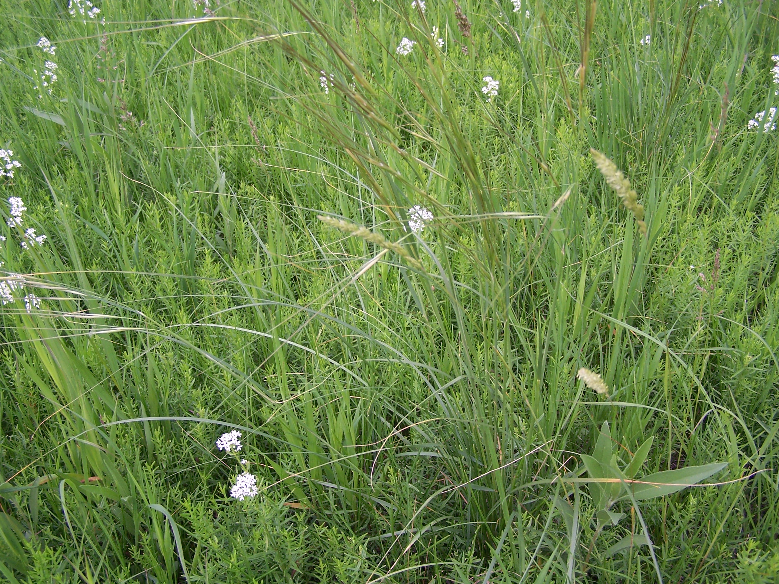
Cool grasses
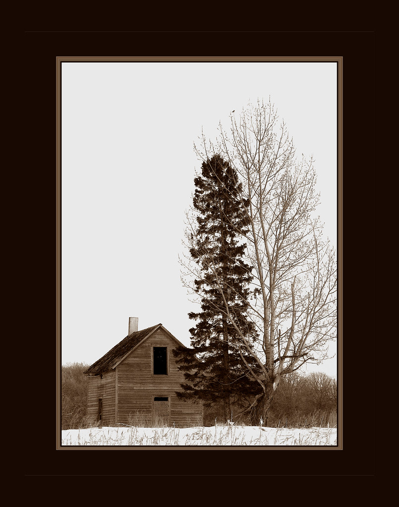
Bird House
20151124-152117-59
20151124-152111-58
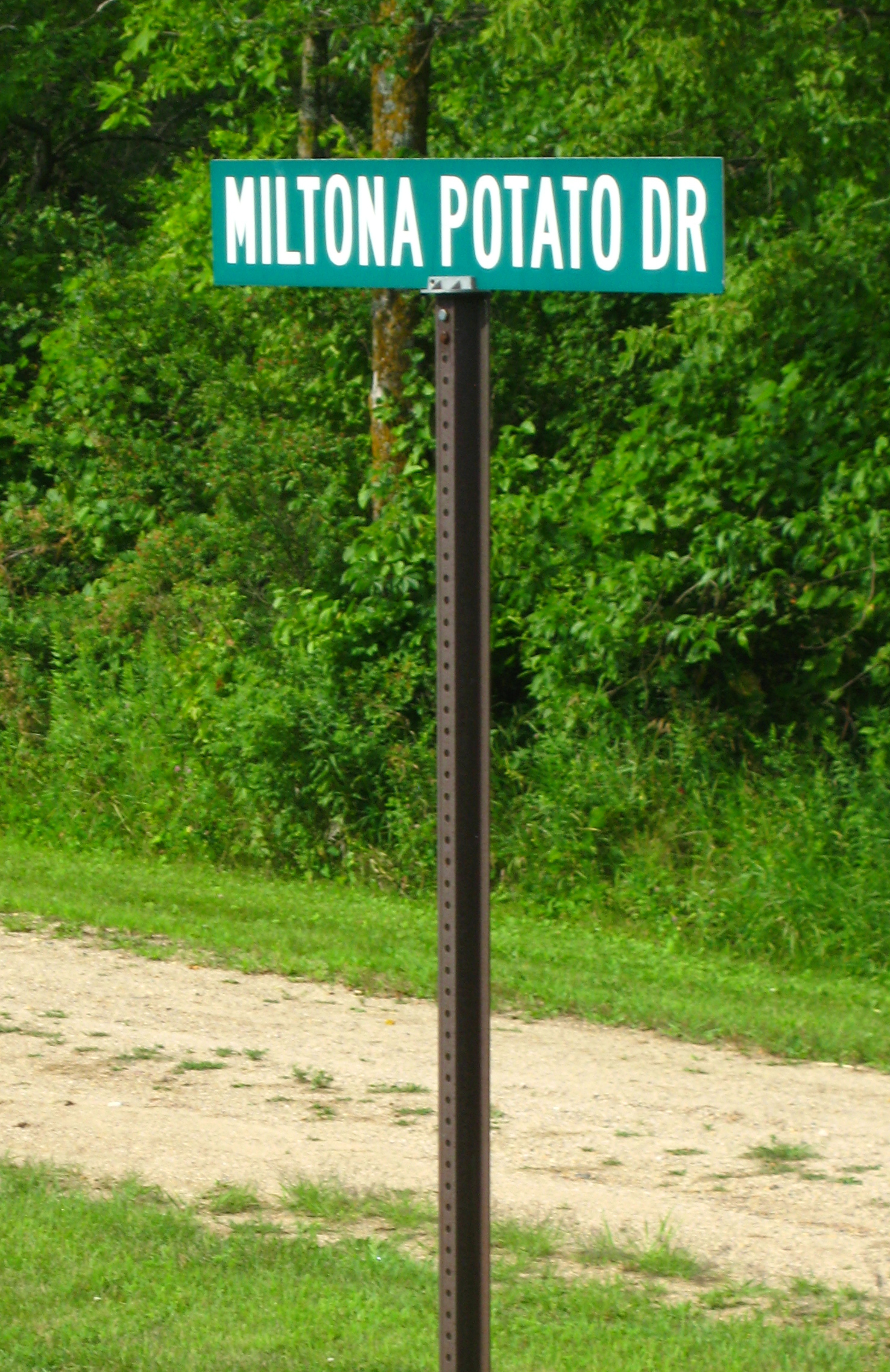
Miltona Potato Drive
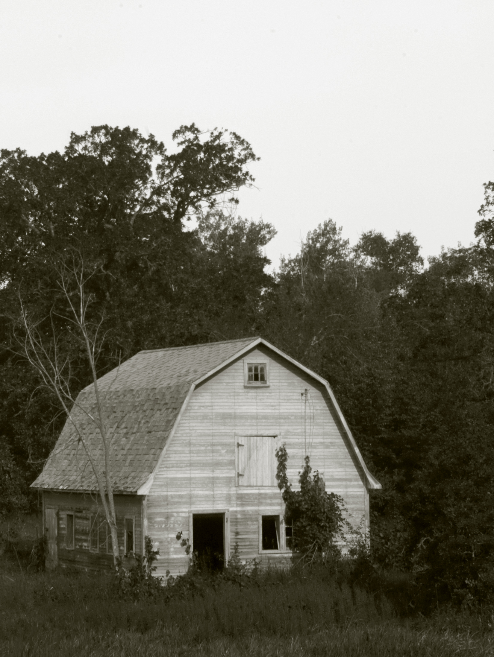
Old Barn near Miltona

ss.13flying

ss.13swing

ss.04dandy

ss.12sking
Topographic Map of Krista Cir, Parkers Prairie, MN, USA
Find elevation by address:

Places near Krista Cir, Parkers Prairie, MN, USA:
1st St, Miltona, MN, USA
Ida Township
6387 Bedman Dr Nw
Douglas County
Co Rd 50, Deer Creek, MN, USA
2265 Majestic Ln Nw
Co Hwy 22, Garfield, MN, USA
2702 3rd Ave E
Unumb Street, Alexandria, MN, USA
Alexandria
Douglas Street
La Grand Township
1st Ave SE, Bertha, MN, USA
South Nokomis
Waterfowl Drive Southwest
Central Ave N, Brandon, MN, USA
14 E Nokomis St, Osakis, MN, USA
4th St SE, Alexandria, MN, USA
Forada
Lake Mary Township
Recent Searches:
- Elevation of Corso Fratelli Cairoli, 35, Macerata MC, Italy
- Elevation of Tallevast Rd, Sarasota, FL, USA
- Elevation of 4th St E, Sonoma, CA, USA
- Elevation of Black Hollow Rd, Pennsdale, PA, USA
- Elevation of Oakland Ave, Williamsport, PA, USA
- Elevation of Pedrógão Grande, Portugal
- Elevation of Klee Dr, Martinsburg, WV, USA
- Elevation of Via Roma, Pieranica CR, Italy
- Elevation of Tavkvetili Mountain, Georgia
- Elevation of Hartfords Bluff Cir, Mt Pleasant, SC, USA