Elevation of Koyu District, Miyazaki Prefecture, Japan
Location: Japan > Miyazaki Prefecture >
Longitude: 131.483
Latitude: 32.249
Elevation: 244m / 801feet
Barometric Pressure: 98KPa
Elevation Map:
Satellite Map:
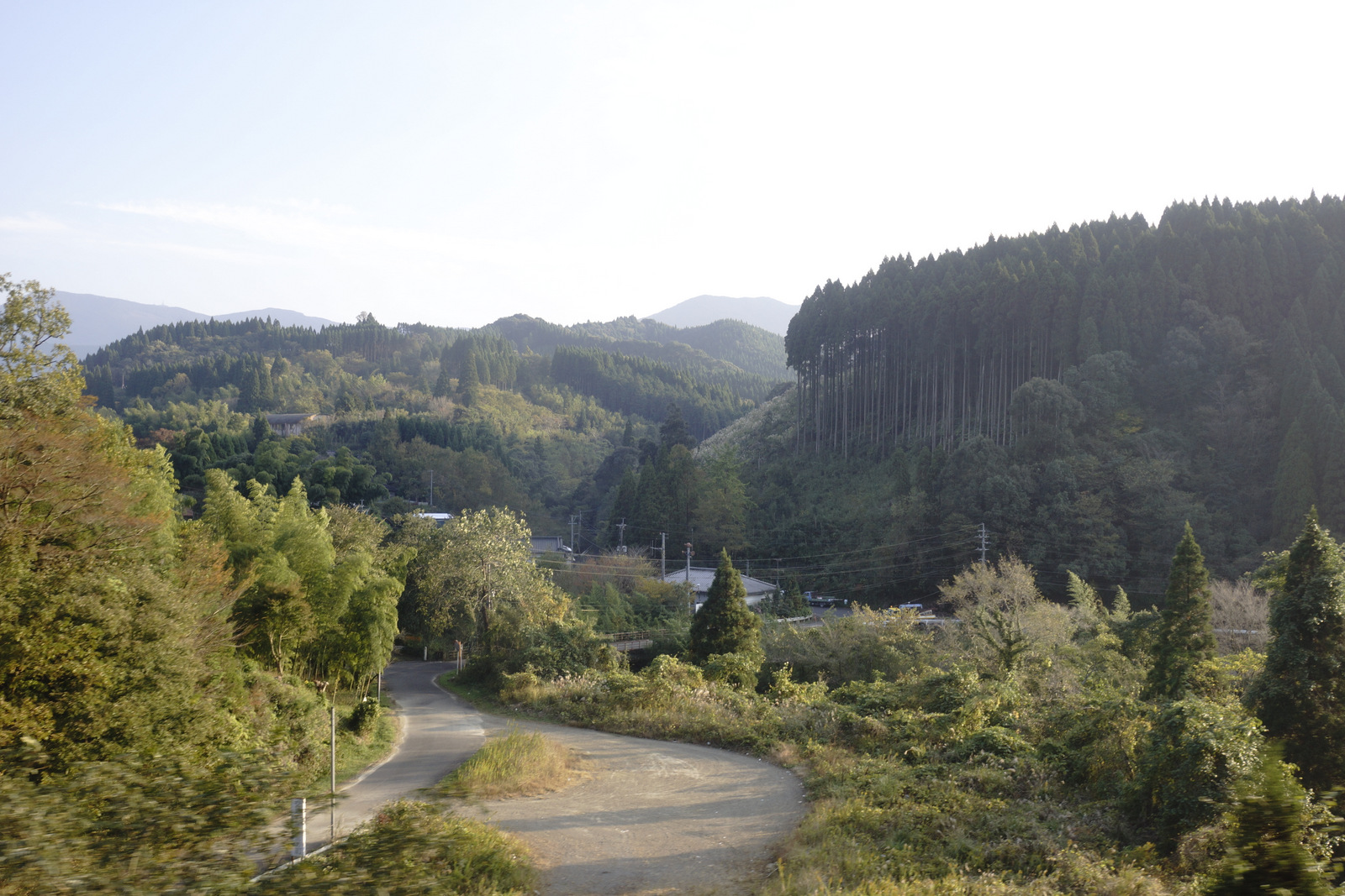
Related Photos:

宮崎い
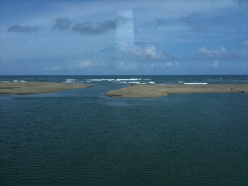
near Kaguchiura, , Japan
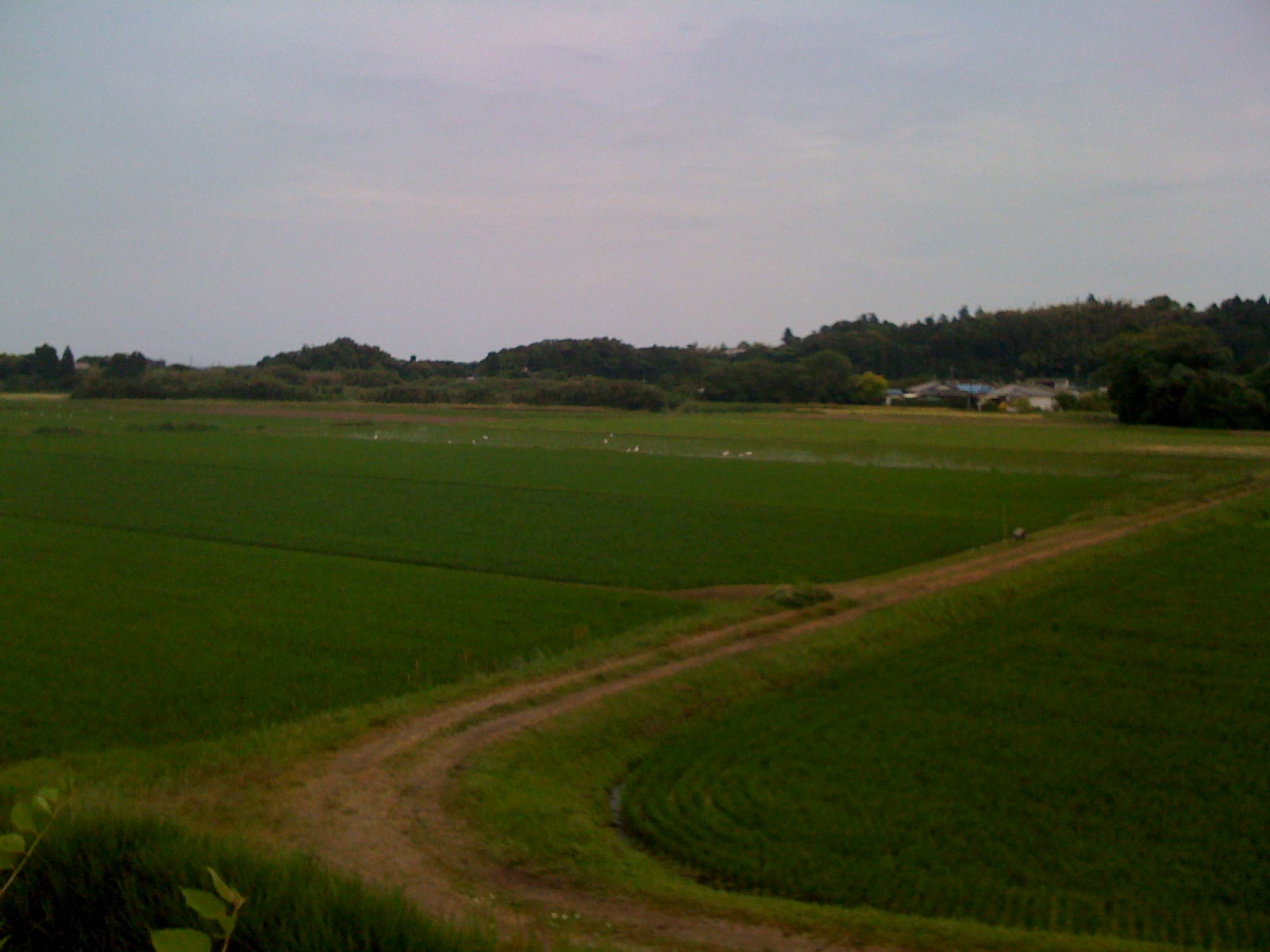
Cranes in the rice fields
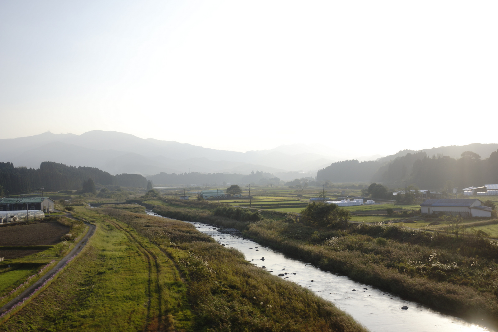
JR 九州 特急きりしま
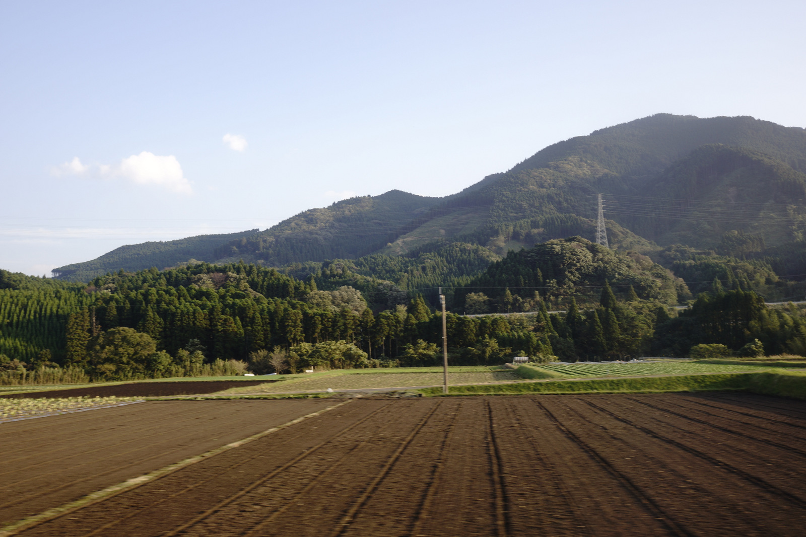
JR 九州 特急きりしま
JR 九州 特急きりしま

JR 九州 特急きりしま
DSC_8842.jpg

DSC_8838.jpg

DSC_8831.jpg
Topographic Map of Koyu District, Miyazaki Prefecture, Japan
Find elevation by address:

Places in Koyu District, Miyazaki Prefecture, Japan:
Places near Koyu District, Miyazaki Prefecture, Japan:
Kawaminami, Kawaminami-chō, Koyu-gun, Miyazaki-ken -, Japan
Kawaminami
Kawakita
Mt. Osuzu
Tsuno
Kijo
Ishikawauchi, Kijō-chō, Koyu-gun, Miyazaki-ken -, Japan
Uwae, Takanabe-chō, Koyu-gun, Miyazaki-ken -, Japan
Nyuuta, Shintomi-chō, Koyu-gun, Miyazaki-ken -, Japan
Nyuuta, Shintomi-chō, Koyu-gun, Miyazaki-ken -, Japan
-2 Hioki, Shintomi-chō, Koyu-gun, Miyazaki-ken -, Japan
Nyuuta, Shintomi-chō, Koyu-gun, Miyazaki-ken -, Japan
-7 Nyuuta, Shintomi-chō, Koyu-gun, Miyazaki-ken -, Japan
-6 Nyuuta, Shintomi-chō, Koyu-gun, Miyazaki-ken -, Japan
-1 Nyuuta, Shintomi-chō, Koyu-gun, Miyazaki-ken -, Japan
Hioki, Shintomi-chō, Koyu-gun, Miyazaki-ken -, Japan
Saito
Nyuuta, Shintomi-chō, Koyu-gun, Miyazaki-ken -, Japan
Kamitonda, Shintomi-chō, Koyu-gun, Miyazaki-ken -, Japan
Nyuuta, Shintomi-chō, Koyu-gun, Miyazaki-ken -, Japan
Recent Searches:
- Elevation of Corso Fratelli Cairoli, 35, Macerata MC, Italy
- Elevation of Tallevast Rd, Sarasota, FL, USA
- Elevation of 4th St E, Sonoma, CA, USA
- Elevation of Black Hollow Rd, Pennsdale, PA, USA
- Elevation of Oakland Ave, Williamsport, PA, USA
- Elevation of Pedrógão Grande, Portugal
- Elevation of Klee Dr, Martinsburg, WV, USA
- Elevation of Via Roma, Pieranica CR, Italy
- Elevation of Tavkvetili Mountain, Georgia
- Elevation of Hartfords Bluff Cir, Mt Pleasant, SC, USA