Elevation of Kowon, South Hamgyong, North Korea
Location: North Korea > South Hamgyong >
Longitude: 127.238548
Latitude: 39.4385422
Elevation: 13m / 43feet
Barometric Pressure: 101KPa
Elevation Map:
Satellite Map:
Related Photos:

Korean Family BBQ Picnic
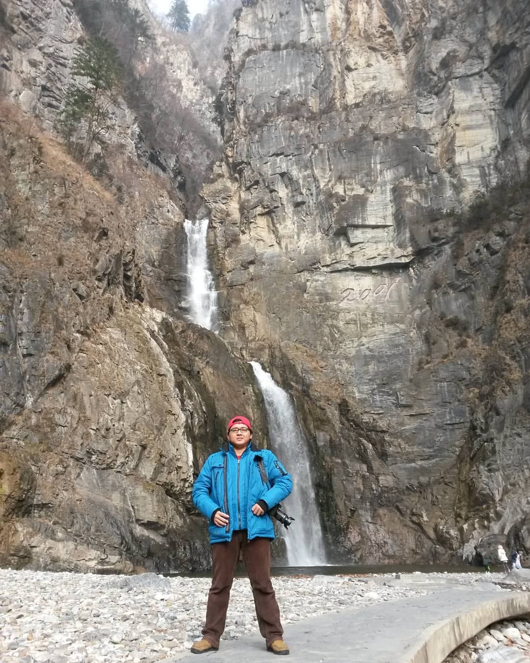
Ullim Waterfall (울림 폭포/Echo Waterfall), Height 75m, located in Tonghung-ri, Chonnae county, Muncheon city, Kangwon province, 220 km from Pyongyang and 35 km from Wonsan city. #ullimwaterfall #northkorea #dprk #korea #koreautara #photography #fotografi #tr

Korean Family BBQ Picnic

Besökare Samtidigt

262-2 Kowon, North Korea
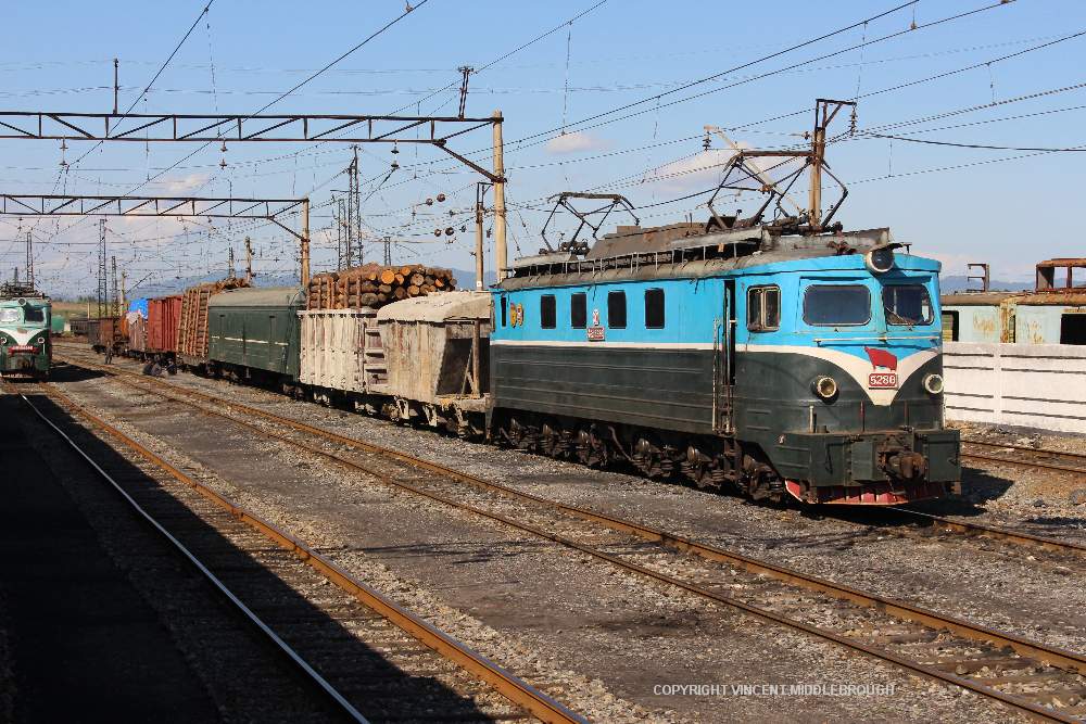
5286 Kowon, North Korea
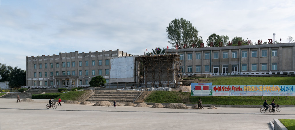
DPRK September 2012 #016

DPRK September 2012 #017
Topographic Map of Kowon, South Hamgyong, North Korea
Find elevation by address:

Places near Kowon, South Hamgyong, North Korea:
Recent Searches:
- Elevation of Corso Fratelli Cairoli, 35, Macerata MC, Italy
- Elevation of Tallevast Rd, Sarasota, FL, USA
- Elevation of 4th St E, Sonoma, CA, USA
- Elevation of Black Hollow Rd, Pennsdale, PA, USA
- Elevation of Oakland Ave, Williamsport, PA, USA
- Elevation of Pedrógão Grande, Portugal
- Elevation of Klee Dr, Martinsburg, WV, USA
- Elevation of Via Roma, Pieranica CR, Italy
- Elevation of Tavkvetili Mountain, Georgia
- Elevation of Hartfords Bluff Cir, Mt Pleasant, SC, USA