Elevation of Kosova Hora, Czech Republic

Location: Czech Republic > Central Bohemian Region > Příbram District >

Longitude: 14.4717344

Latitude: 49.6541468

Elevation: 378m / 1240feet

Barometric Pressure: 97KPa

Elevation Map:

elevation map of Kosova Hora, Czech Republic

Satellite Map:

Satellite map of Kosova Hora, Czech Republic

Related Photos:

cloud storm clouds landscape geotagged czech hiking czechrepublik explore bohemia ceskarepublika českárepublika explored superaplus aplusphoto absolutelystunningscapes geo:lat=49782047 geo:lon=14500515 neveklov
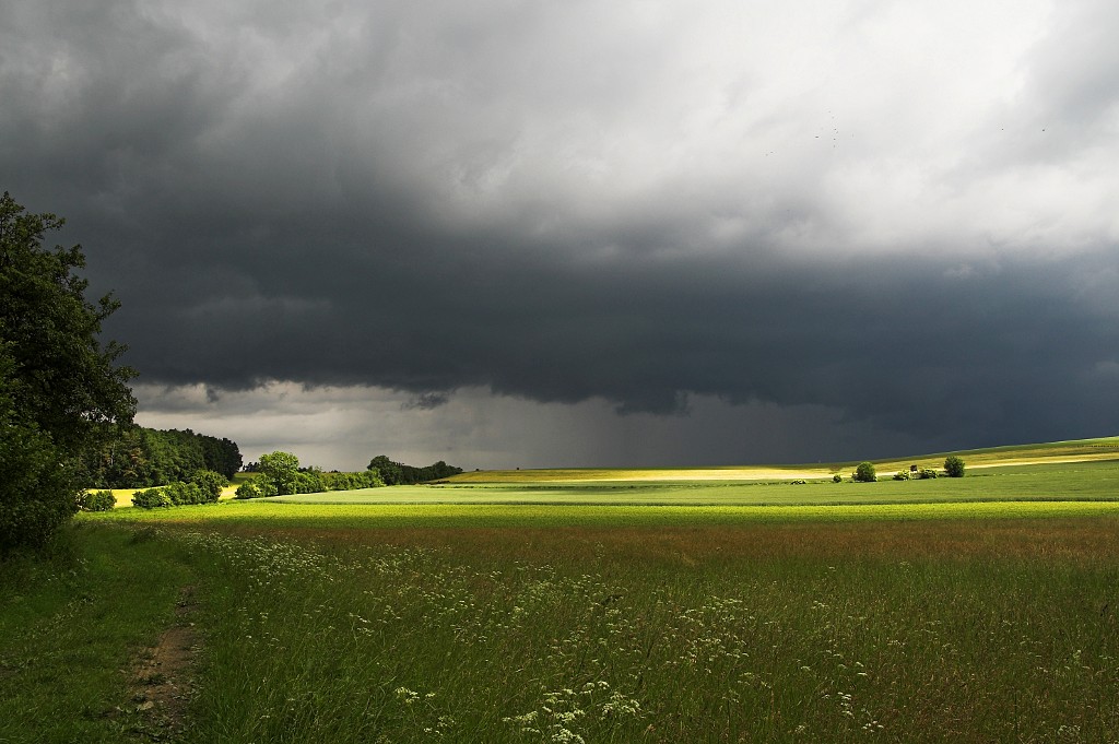
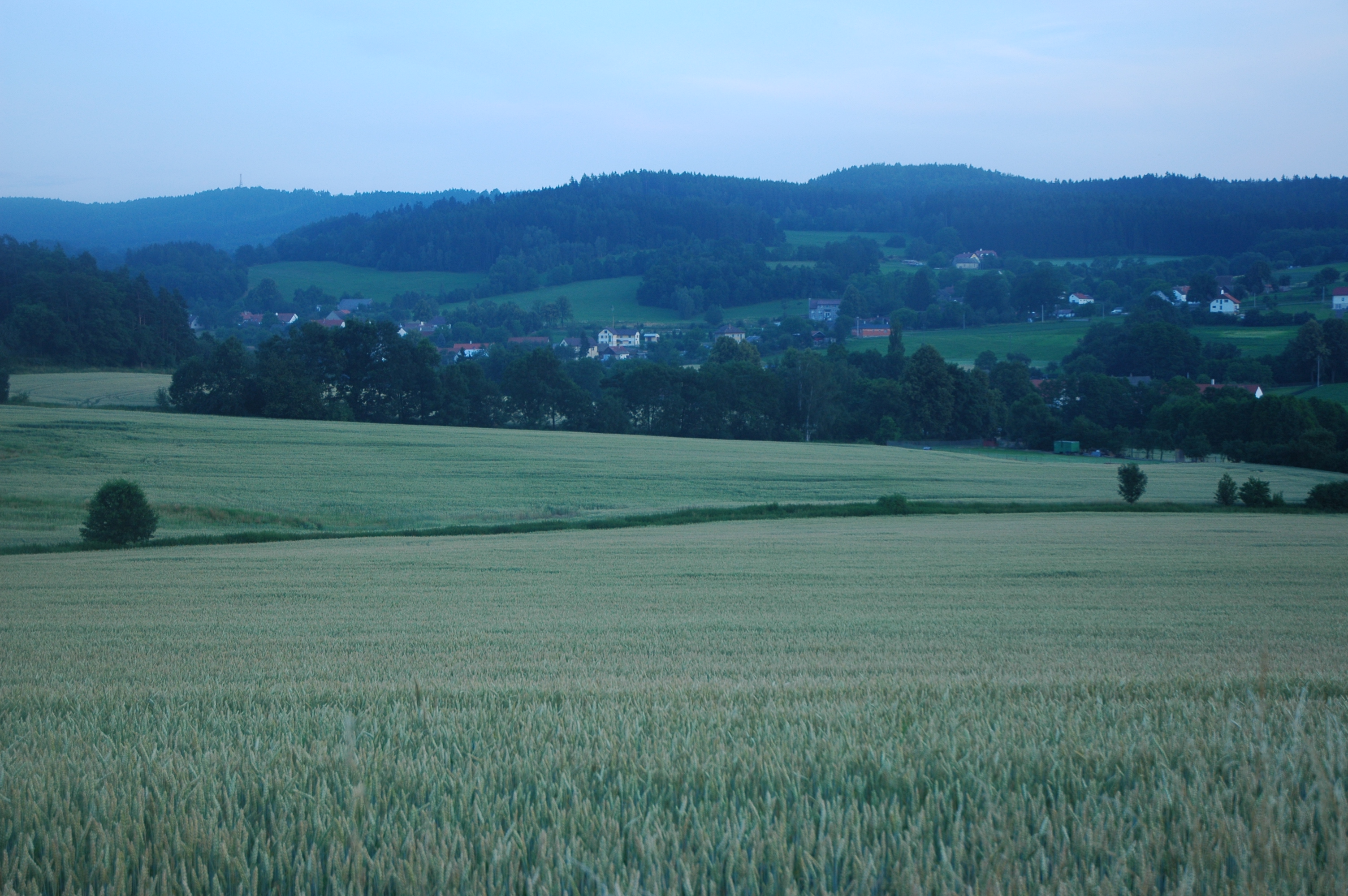
The Last Strip of Light
green nature field clouds walking spring hiking may praha czechrepublic cz votice 2016 prčice pochod centralbohemianregion ješetice
Praha-Prčice
square lofi squareformat iphoneography instagramapp uploaded:by=instagram
Jedna golfová
geotagged europe europe2006 waypointnearesttagsedce waypointsedce waypointcherries waypointdalmo waypointhill waypoint435 geolat49631271 geolong14469638 waypointnearestdistance300miles waypointsedcedistance300miles waypointcherriesdistance393miles waypointdalmodistance506miles waypointhilldistance804miles waypoint435distance804miles
DSC_9441.JPG
povltaví
25 Vltava pod mostem
nature walking spring hiking hunting may praha czechrepublic cz votice 2016 prčice pochod centralbohemianregion ješetice
Praha-Prčice
trees cross sky hearth church water clock weels leaves padlocks panorama lucchetti foglie ruote bosco forest woods river fiume croce locks
Svatý Jan
square squareformat rise iphoneography instagramapp uploaded:by=instagram
Jedna golfová
nature walking spring hiking may praha czechrepublic cz votice 2016 prčice pochod centralbohemianregion
Praha-Prčice
nature walking spring hiking may praha czechrepublic cz votice 2016 prčice pochod centralbohemianregion
Praha-Prčice
Prag - Velka
geotagged europe europe2006 waypointnearesttagsedce waypointsedce waypointcherries waypointdalmo waypointhill waypoint435 geolat49646446 geolong14453489 waypointnearestdistance175miles waypointsedcedistance175miles waypointcherriesdistance265miles waypointdalmodistance633miles waypointhilldistance928miles waypoint435distance928miles
DSC_9438.JPG
sunset nature animals sheep
Searching for Food at Sunset
geotagged geo:lat=49757108344300946 geo:lon=14422820525131215
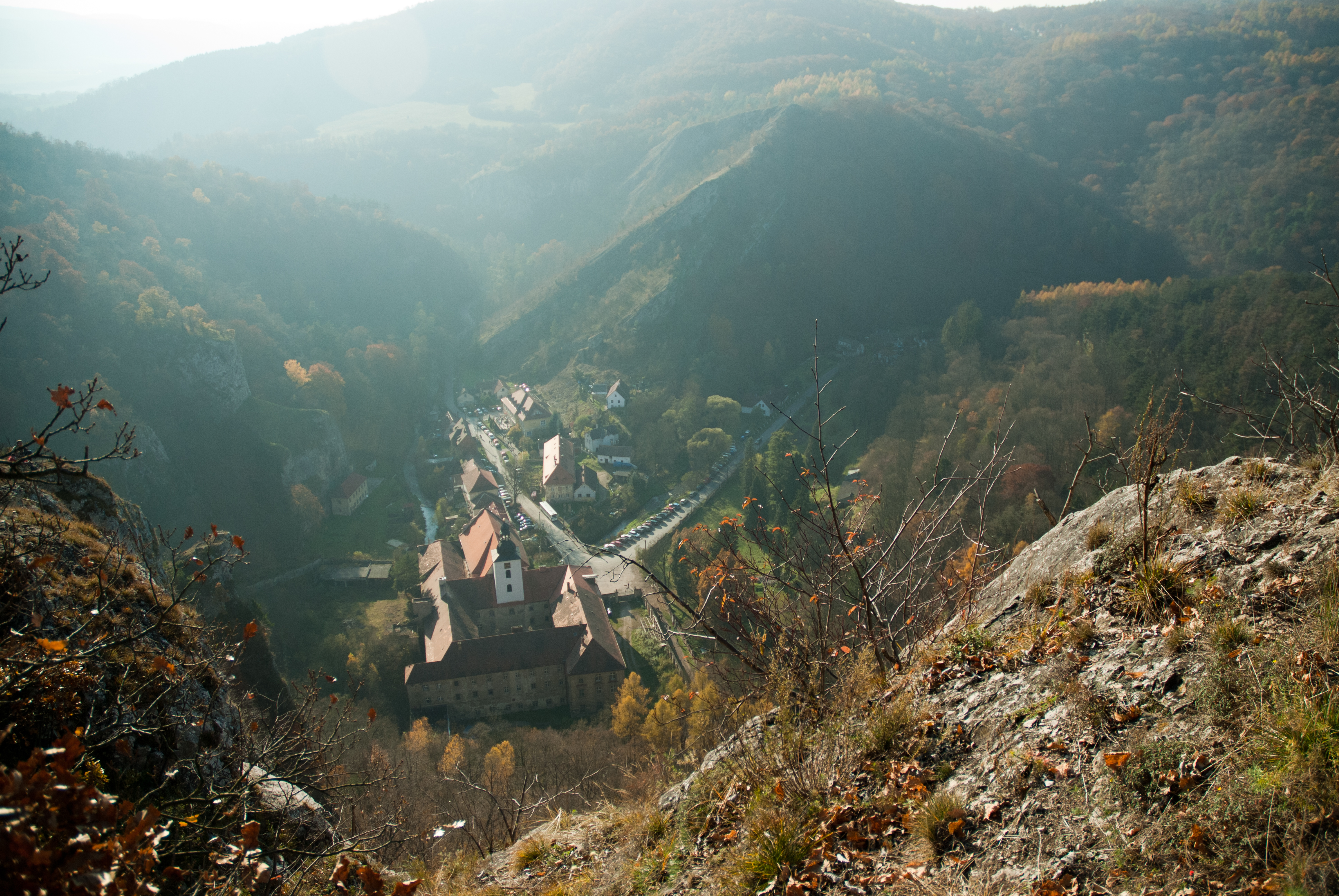
Živohošť (okres Příbram), kostel
geotagged europe europe2006 waypointsedce waypointdalmo waypointhill waypoint435 waypointnearesttagdalmo geolat49580460 geolong14481869 waypointnearestdistance239miles waypointdalmodistance239miles waypointhilldistance579miles waypoint435distance579miles waypointsedcedistance626miles waypointrainyshltr waypointrainyshltrdistance686miles
DSC_9446.JPG
geotagged europe europe2006 waypointsedce waypointdalmo waypointhill waypoint435 waypointnearesttagdalmo waypointrainyshltr geolat49578223 geolong14491597 waypointnearestdistance193miles waypointdalmodistance193miles waypointhilldistance533miles waypoint435distance533miles waypointrainyshltrdistance640miles waypointsedcedistance659miles
DSC_9448.JPG
trees sky panorama clock church water leaves foglie forest river woods cross fiume hearth bosco padlocks ruote lucchetti weels
Svatý Jan
geotagged europe europe2006 waypointsedce waypointdalmo waypointhill waypoint435 waypointnearesttagdalmo waypointrainyshltr geolat49578270 geolong14494179 waypointnearestdistance182miles waypointdalmodistance182miles waypointhilldistance522miles waypoint435distance522miles waypointrainyshltrdistance630miles waypointsedcedistance664miles
DSC_9449.JPG
trees sky panorama clock church water leaves foglie forest river woods cross fiume hearth bosco padlocks ruote lucchetti weels
Svatý Jan
trees sky panorama clock church water leaves foglie forest river woods cross fiume hearth locks croce bosco padlocks ruote lucchetti weels
Svatý Jan
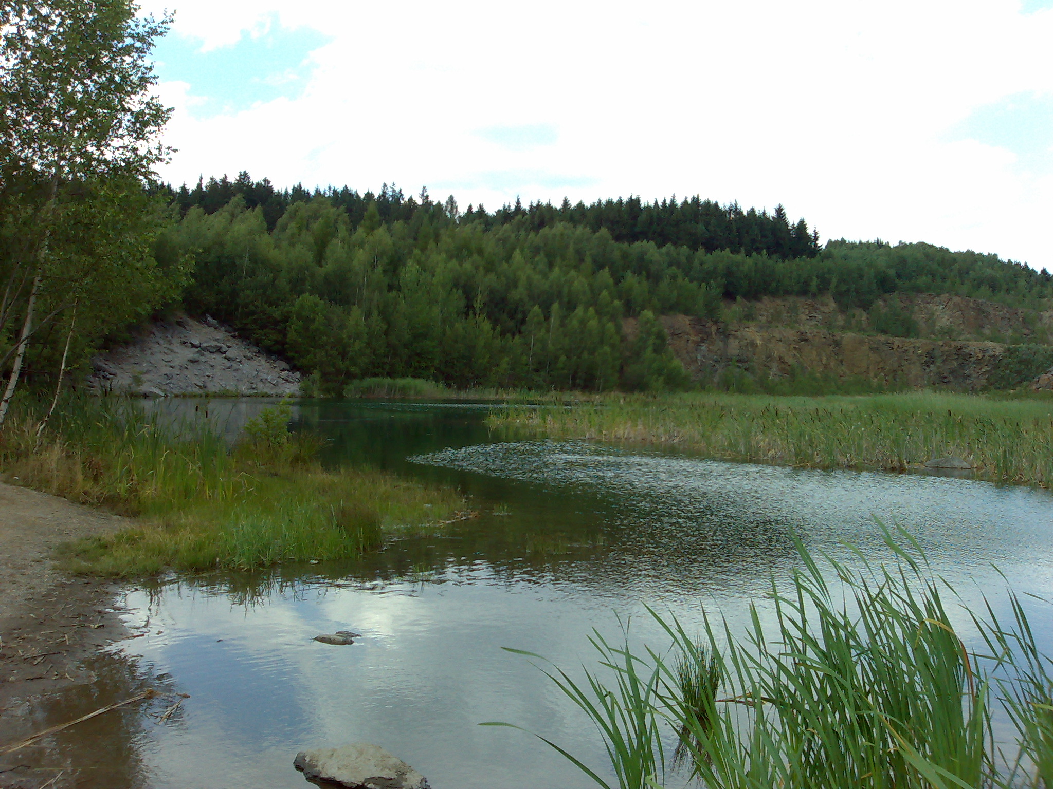
27.07.2007 koupání se ségrou Miličín