Elevation of Korgon, Kyrgyzstan
Location: Kyrgyzstan >
Longitude: 69.9356784
Latitude: 39.8883513
Elevation: 1057m / 3468feet
Barometric Pressure: 89KPa
Elevation Map:
Satellite Map:
Related Photos:
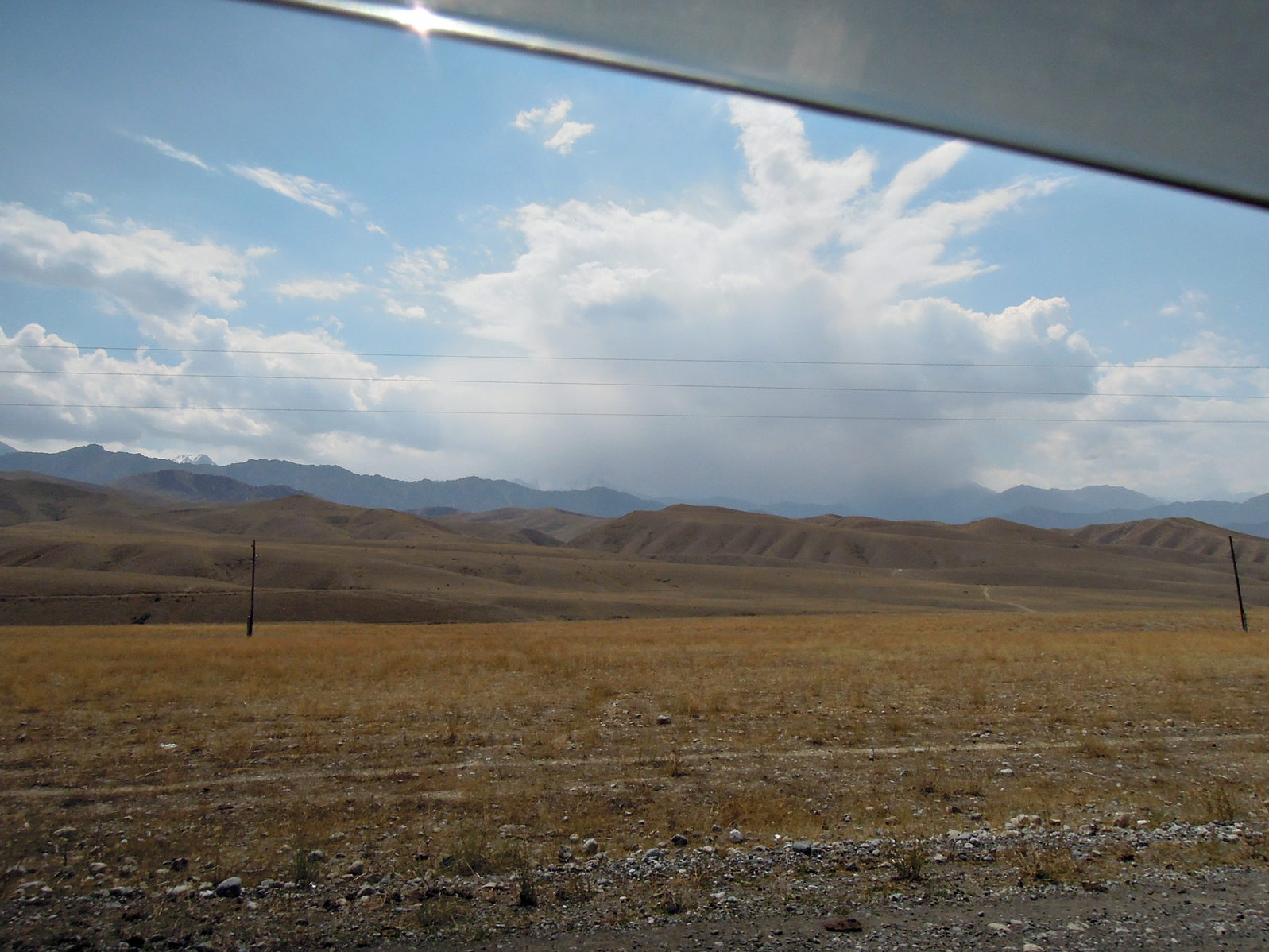
Ein Fünftausender der Turkestan-Kette versteckt sich in Wolken.
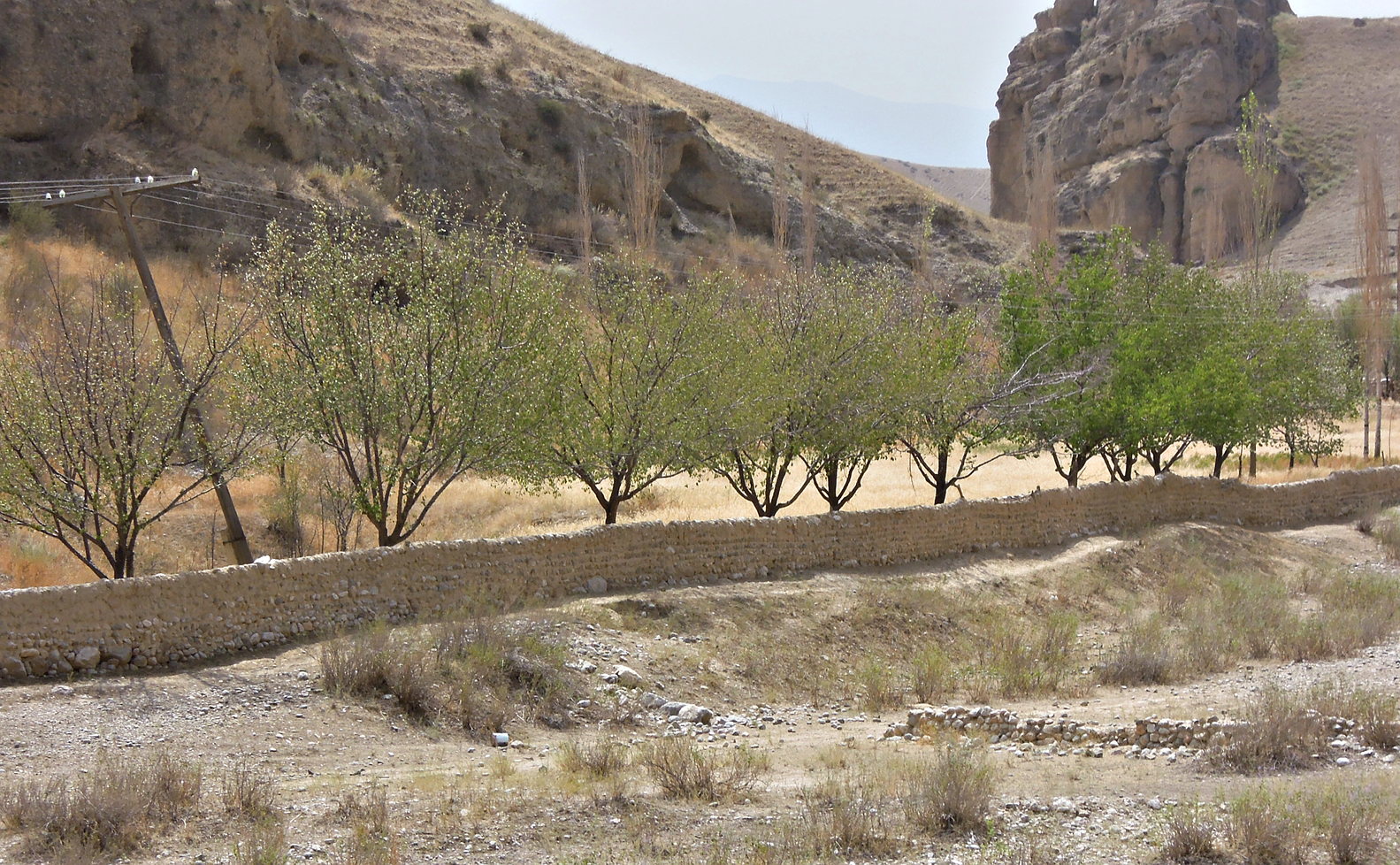
Flußtal im Sandstein
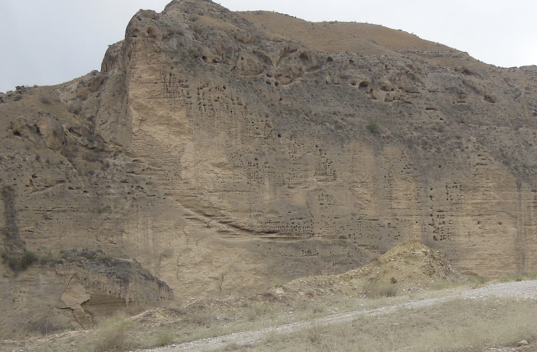
markanter, erodierter Sandsteinfelsen in Flußtal

KY18_1028 Country life in the foothills ....

KY18_1027 Wild Flowers
Topographic Map of Korgon, Kyrgyzstan
Find elevation by address:

Places near Korgon, Kyrgyzstan:
Recent Searches:
- Elevation of Corso Fratelli Cairoli, 35, Macerata MC, Italy
- Elevation of Tallevast Rd, Sarasota, FL, USA
- Elevation of 4th St E, Sonoma, CA, USA
- Elevation of Black Hollow Rd, Pennsdale, PA, USA
- Elevation of Oakland Ave, Williamsport, PA, USA
- Elevation of Pedrógão Grande, Portugal
- Elevation of Klee Dr, Martinsburg, WV, USA
- Elevation of Via Roma, Pieranica CR, Italy
- Elevation of Tavkvetili Mountain, Georgia
- Elevation of Hartfords Bluff Cir, Mt Pleasant, SC, USA