Elevation of Koo, South Africa
Location: South Africa > Western Cape > Cape Winelands >
Longitude: 19.85
Latitude: -33.7
Elevation: 1010m / 3314feet
Barometric Pressure: 90KPa
Elevation Map:
Satellite Map:
Related Photos:
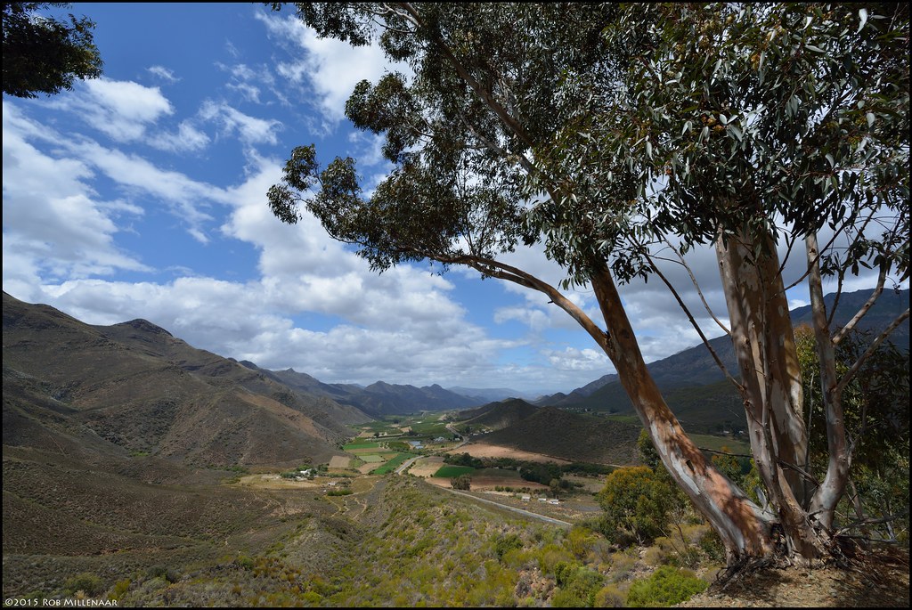
View from the pass
This view never gets old #hashtagaandgo #girlsweekend #robertson

Brothers in arms

Keisie Valley

Keisie Valley

Family is everything
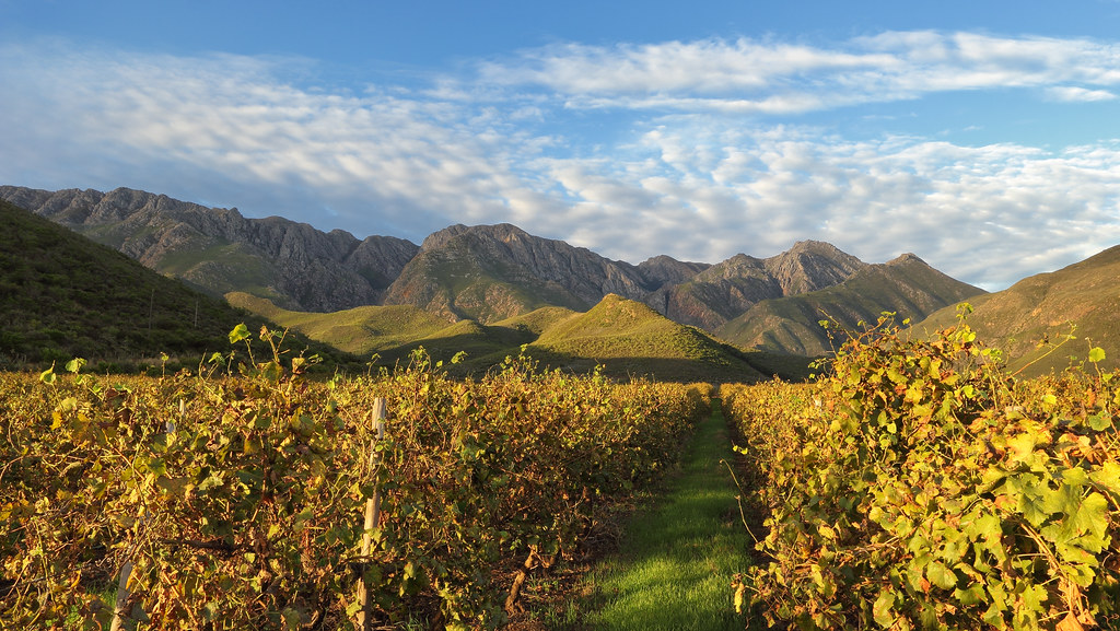
Mountain Vineyards

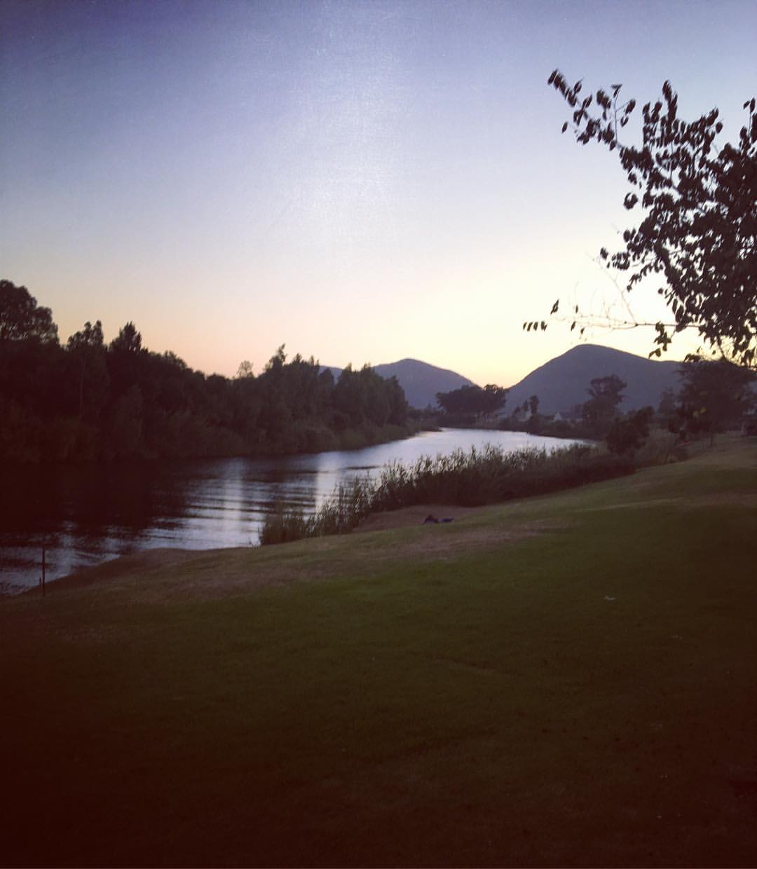
Langeberg reflections

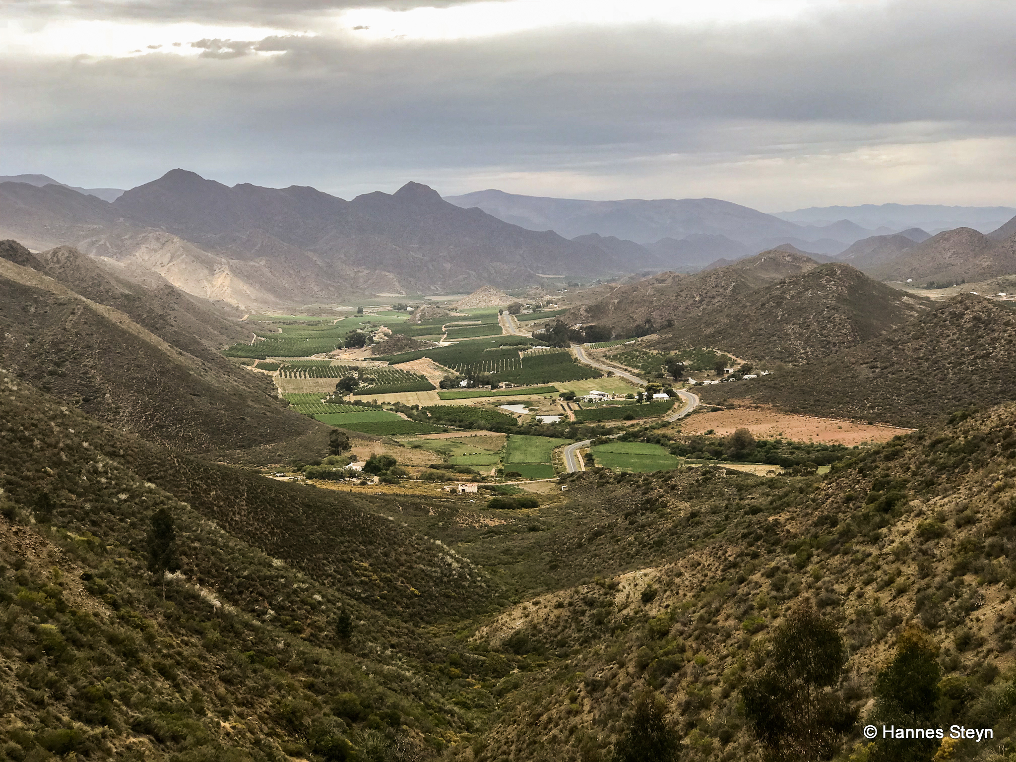
Down the Valley

Rocky Reflections

Keisie Valley

Country Roads
All Photos-3358

Before the storm

IMG_3579-2

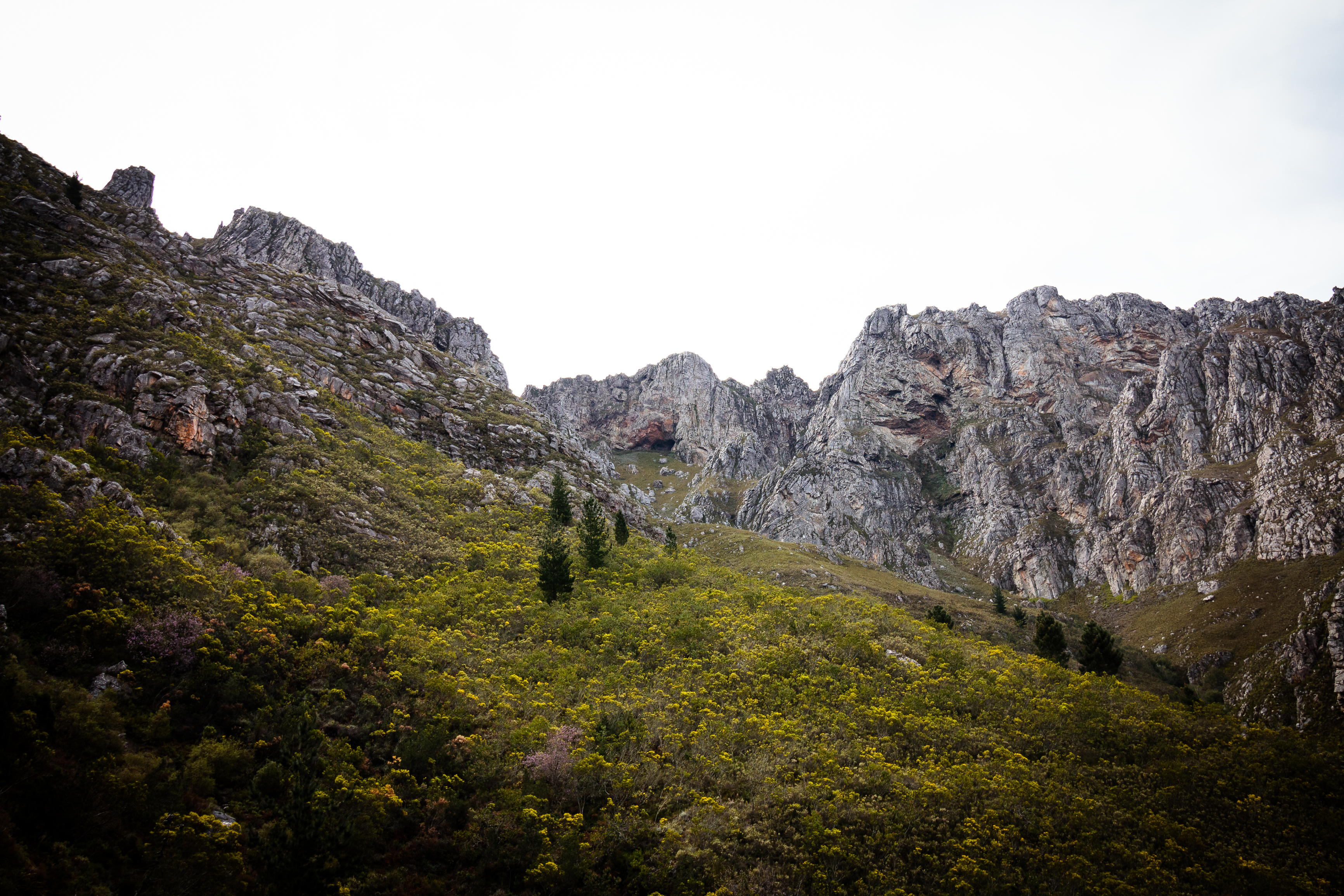
Arangieskop Hiking Trail

IMG_3580-2

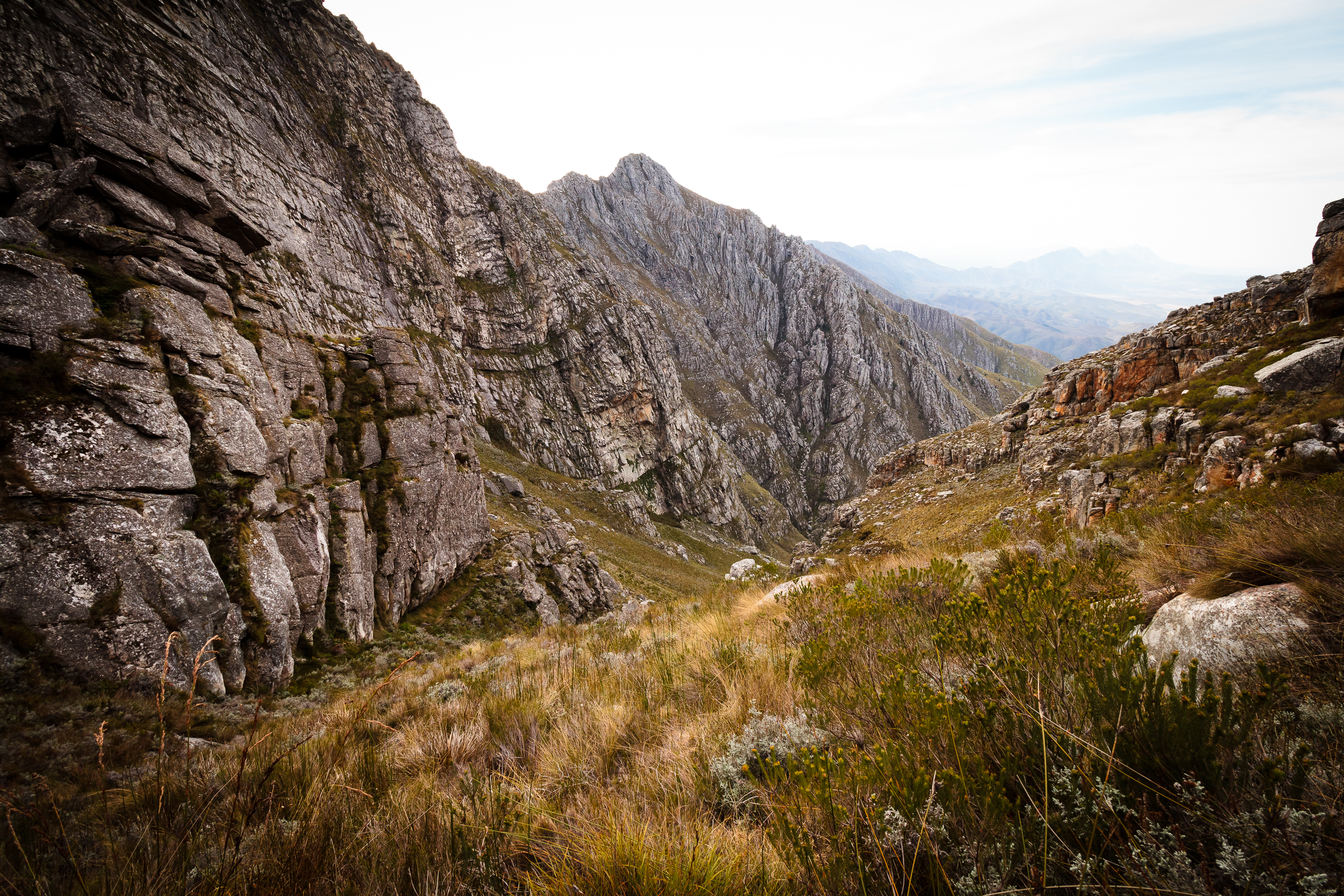
Arangieskop Hiking Trail
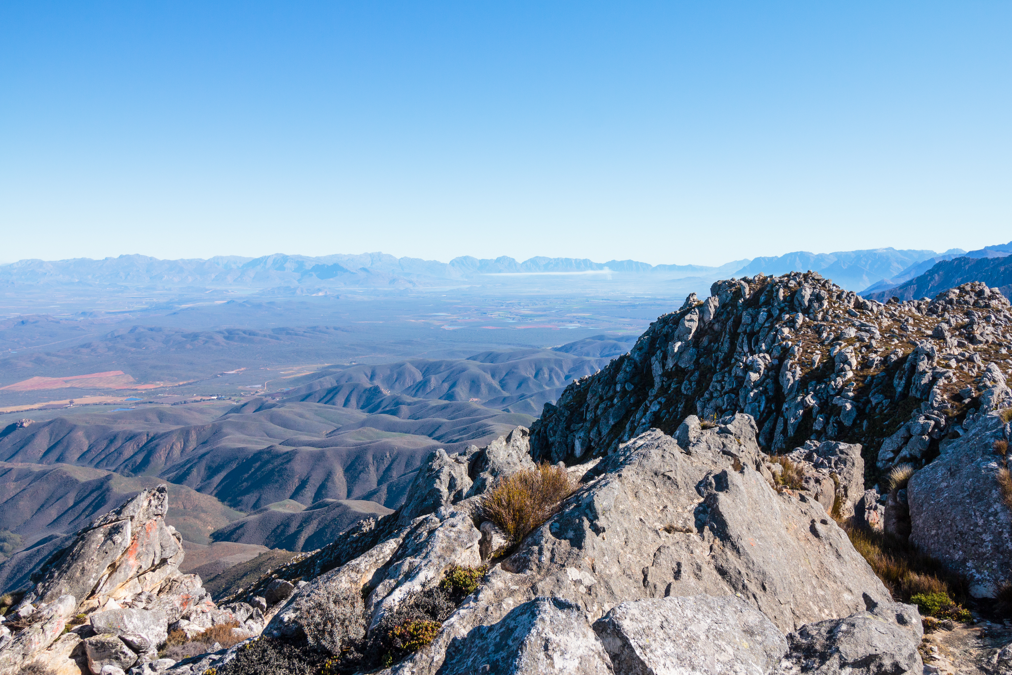
Arangieskop Hiking Trail
Arangieskop Hiking Trail
Voetpad's Berg
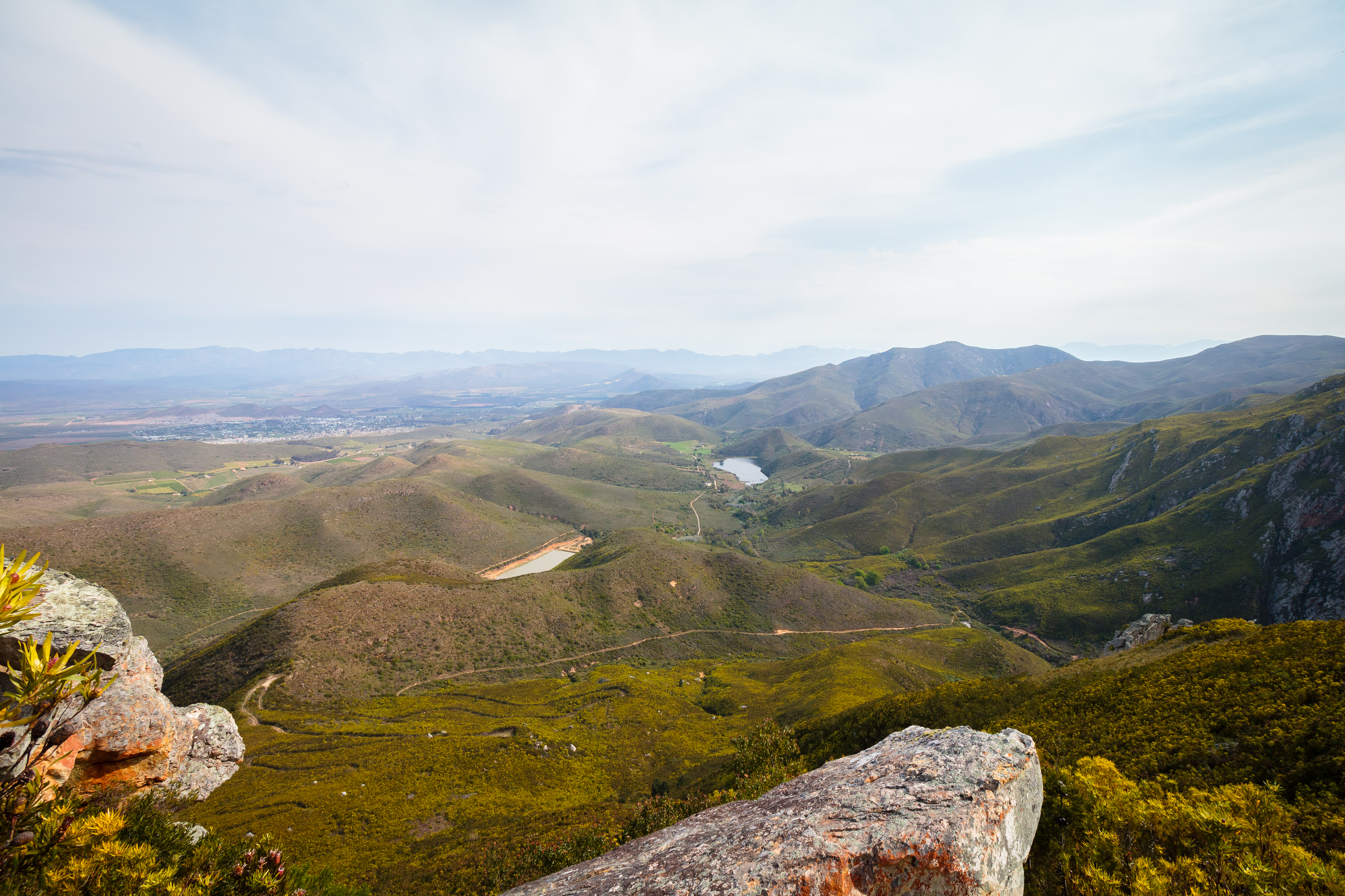
Arangieskop Hiking Trail
Topographic Map of Koo, South Africa
Find elevation by address:

Places near Koo, South Africa:
Recent Searches:
- Elevation of Corso Fratelli Cairoli, 35, Macerata MC, Italy
- Elevation of Tallevast Rd, Sarasota, FL, USA
- Elevation of 4th St E, Sonoma, CA, USA
- Elevation of Black Hollow Rd, Pennsdale, PA, USA
- Elevation of Oakland Ave, Williamsport, PA, USA
- Elevation of Pedrógão Grande, Portugal
- Elevation of Klee Dr, Martinsburg, WV, USA
- Elevation of Via Roma, Pieranica CR, Italy
- Elevation of Tavkvetili Mountain, Georgia
- Elevation of Hartfords Bluff Cir, Mt Pleasant, SC, USA