Elevation of Konam, Andhra Pradesh, India
Location: India > Andhra Pradesh > Vishakhapatnam >
Longitude: 82.8371353
Latitude: 17.9692105
Elevation: 203m / 666feet
Barometric Pressure: 99KPa
Elevation Map:
Satellite Map:
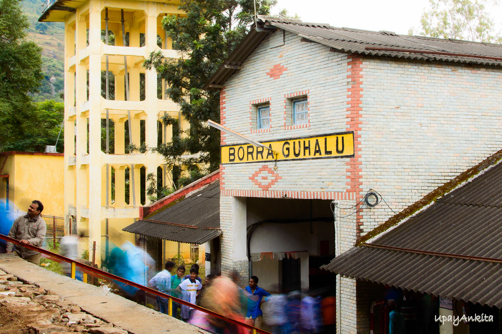
Related Photos:
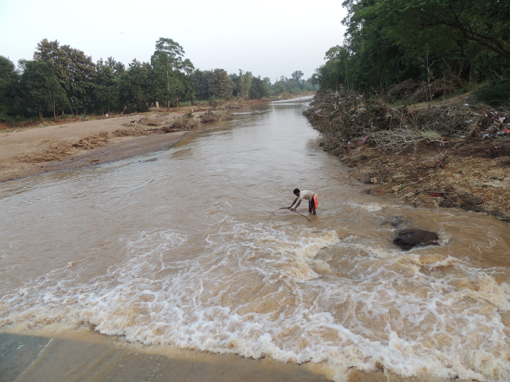
DSCN1092
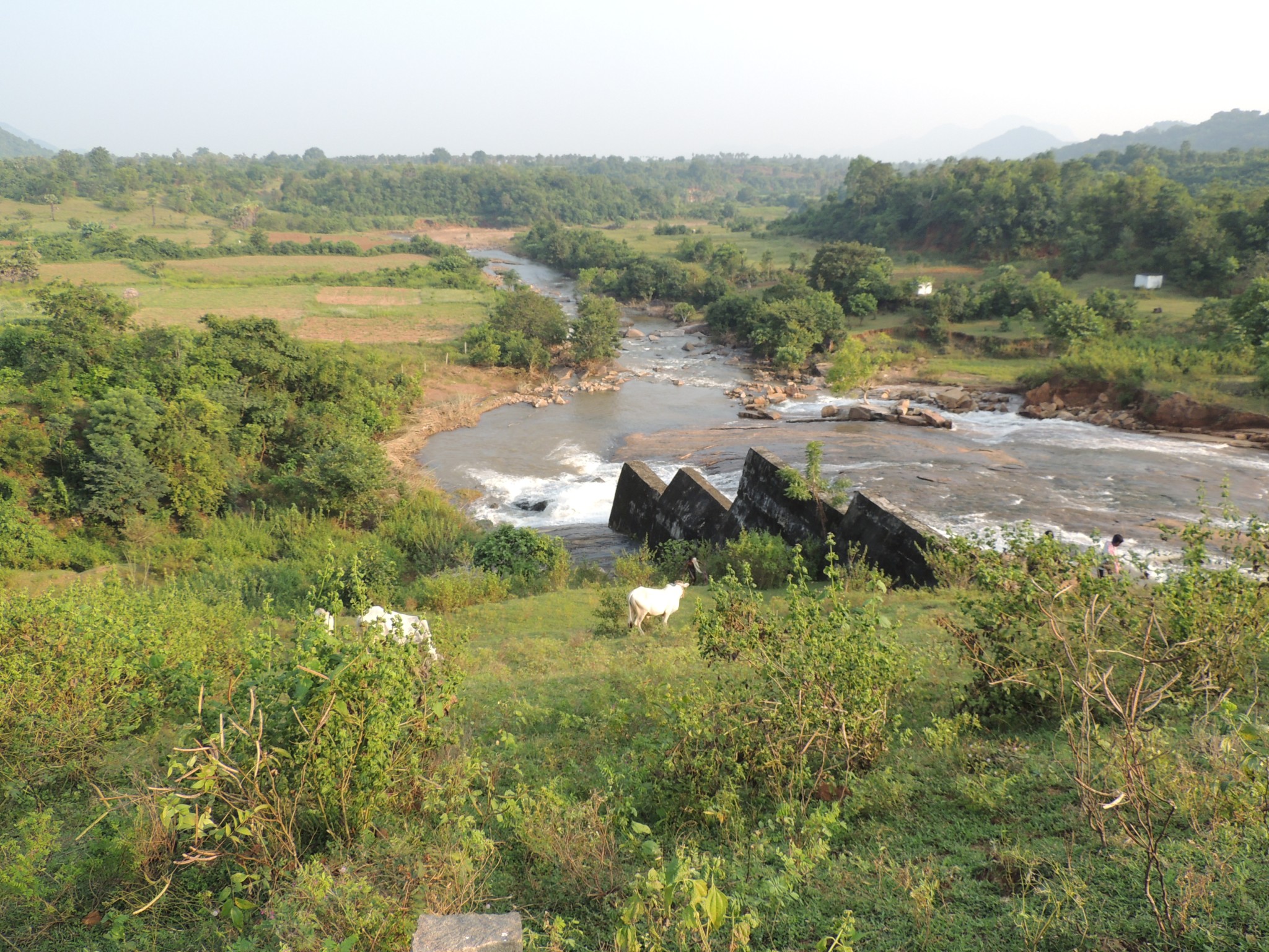
DSCN1053
Busy


DSCN1110
Topographic Map of Konam, Andhra Pradesh, India
Find elevation by address:

Places near Konam, Andhra Pradesh, India:
Paderu
Vishakhapatnam
S.kothuru
Malkangiri
Timmapuram
Uppada
U.kothapalli Z.p High School
East Godavari
Pithapuram
Sri Pada Sri Vallabha Temple
National Highway 216
National Highway 216
Kakinada
Katchuluru
Polavaram
Recent Searches:
- Elevation of Corso Fratelli Cairoli, 35, Macerata MC, Italy
- Elevation of Tallevast Rd, Sarasota, FL, USA
- Elevation of 4th St E, Sonoma, CA, USA
- Elevation of Black Hollow Rd, Pennsdale, PA, USA
- Elevation of Oakland Ave, Williamsport, PA, USA
- Elevation of Pedrógão Grande, Portugal
- Elevation of Klee Dr, Martinsburg, WV, USA
- Elevation of Via Roma, Pieranica CR, Italy
- Elevation of Tavkvetili Mountain, Georgia
- Elevation of Hartfords Bluff Cir, Mt Pleasant, SC, USA