Elevation of Kollour, Telangana, India
Location: India > Telangana > Medak >
Longitude: 77.7163457
Latitude: 17.800285
Elevation: 593m / 1946feet
Barometric Pressure: 94KPa
Elevation Map:
Satellite Map:
Related Photos:

DSC06111
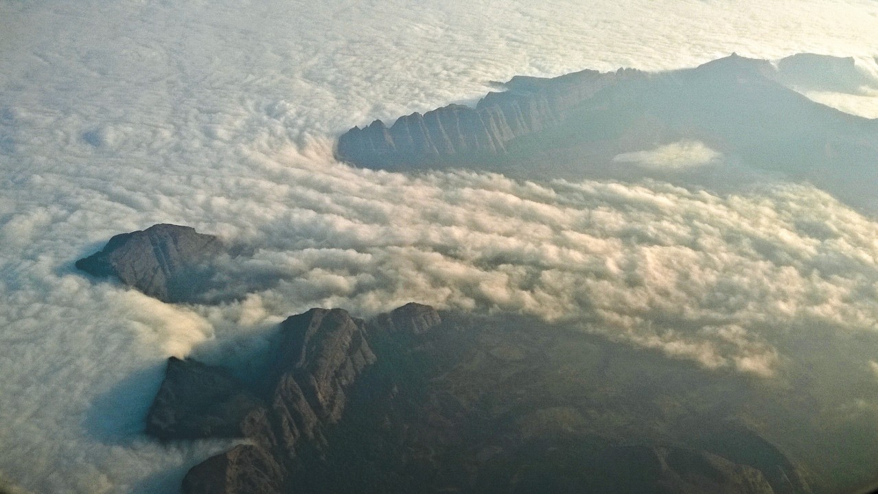
Floating Clouds- Areial Shot

Once there was one
2012-12-21_13h21m55s
2012-12-21_13h23m43s
2012-12-21_13h38m08s
Topographic Map of Kollour, Telangana, India
Find elevation by address:

Places near Kollour, Telangana, India:
Bhusareddipally
Singur Dam
Bidar Fort
Tajlapur
Narayankhed
Bidar
Ravindra Nagar
Bijinepally Salkarpet
Dhanasiri
4-2-97/1
Sadashivpet
Shankarampet A
Tekmal
Medak
Sangareddy
Kalher
Kangti Cross Road
Ranga Reddy
Konapur
Kangti
Recent Searches:
- Elevation of Corso Fratelli Cairoli, 35, Macerata MC, Italy
- Elevation of Tallevast Rd, Sarasota, FL, USA
- Elevation of 4th St E, Sonoma, CA, USA
- Elevation of Black Hollow Rd, Pennsdale, PA, USA
- Elevation of Oakland Ave, Williamsport, PA, USA
- Elevation of Pedrógão Grande, Portugal
- Elevation of Klee Dr, Martinsburg, WV, USA
- Elevation of Via Roma, Pieranica CR, Italy
- Elevation of Tavkvetili Mountain, Georgia
- Elevation of Hartfords Bluff Cir, Mt Pleasant, SC, USA