Elevation of Kokand City Park named after Muqimiy, Kokand, Uzbekistan
Location: Uzbekistan > Ferghana Province > Kokand >
Longitude: 70.938333
Latitude: 40.5390557
Elevation: 410m / 1345feet
Barometric Pressure: 96KPa
Elevation Map:
Satellite Map:
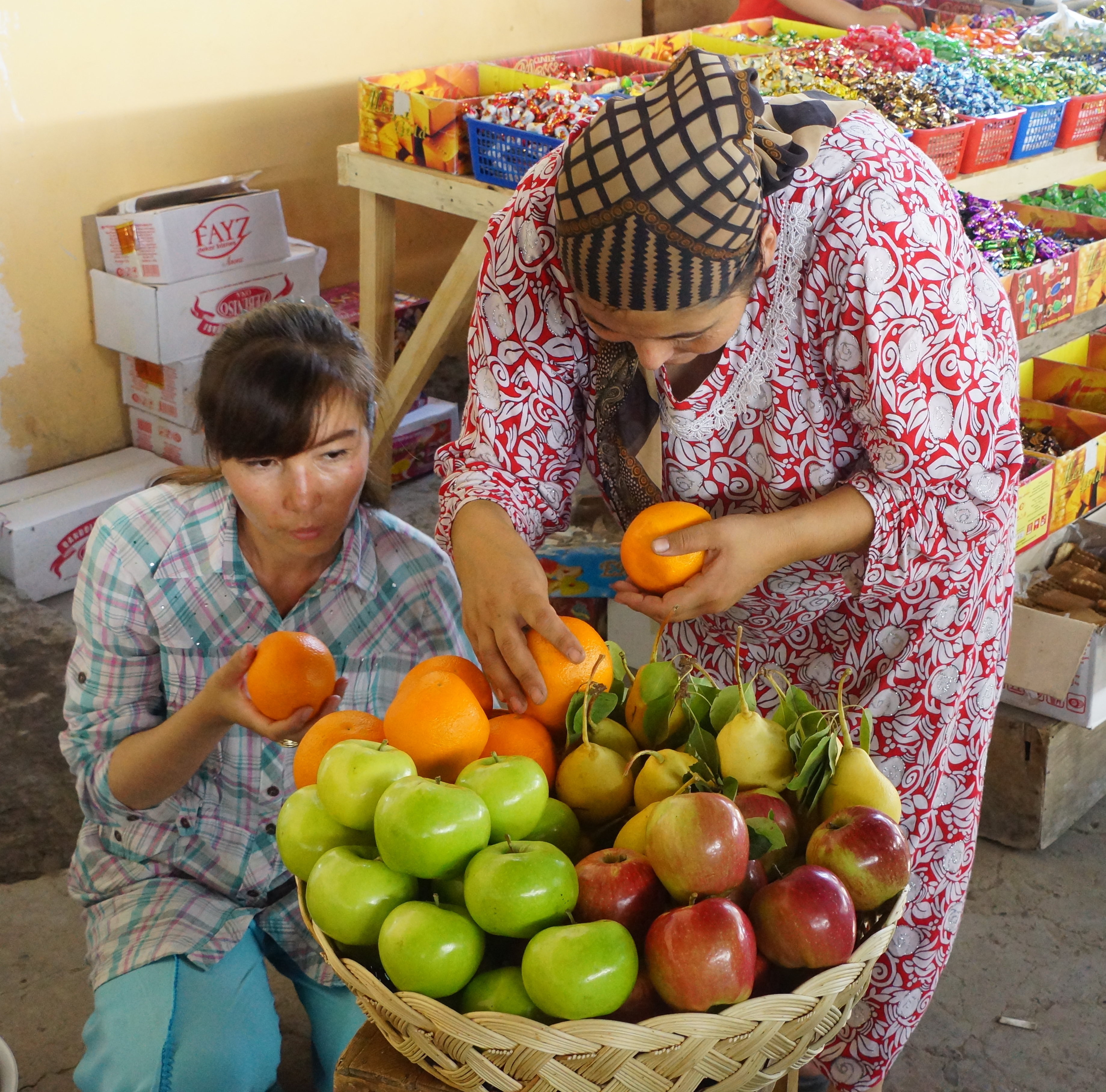
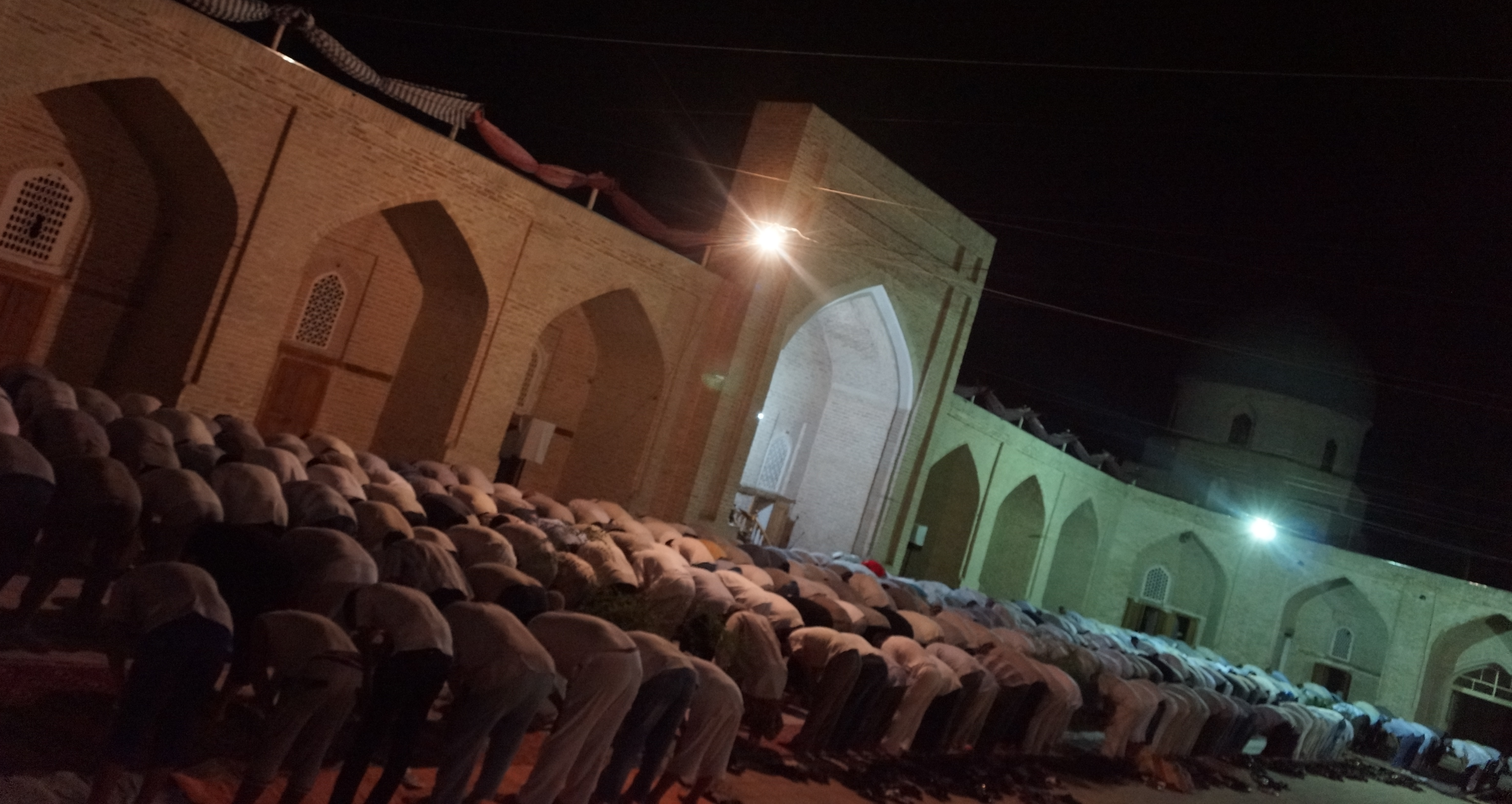
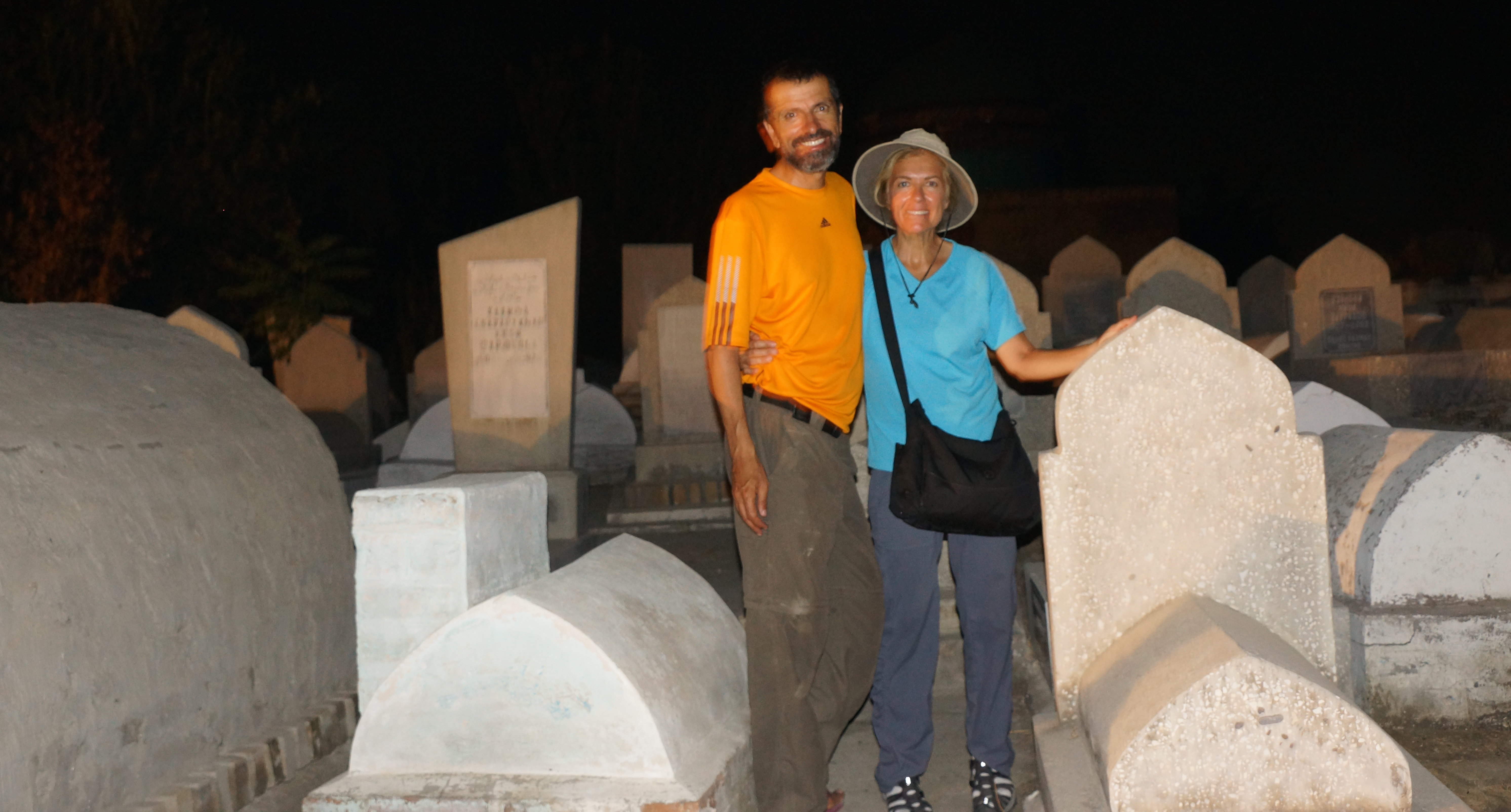
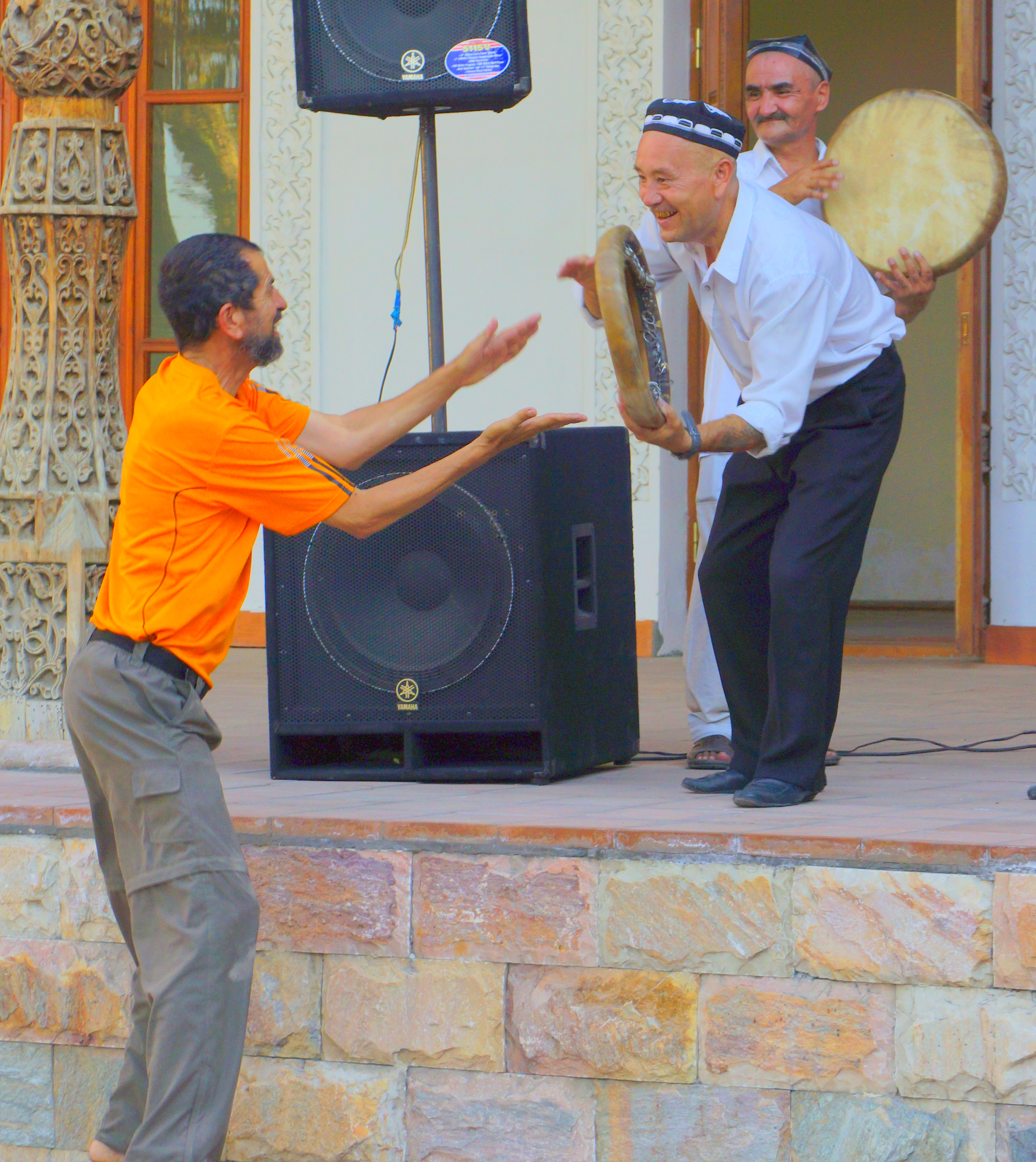
Related Photos:
Ruta de la seda - dia 12 Fergana - Kokand - Osh
The Palace of Khudayar Khan

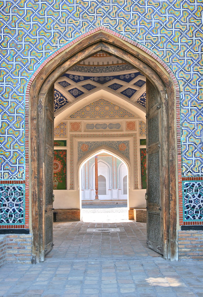
Tile Detail - Palace of Khudayar Khan

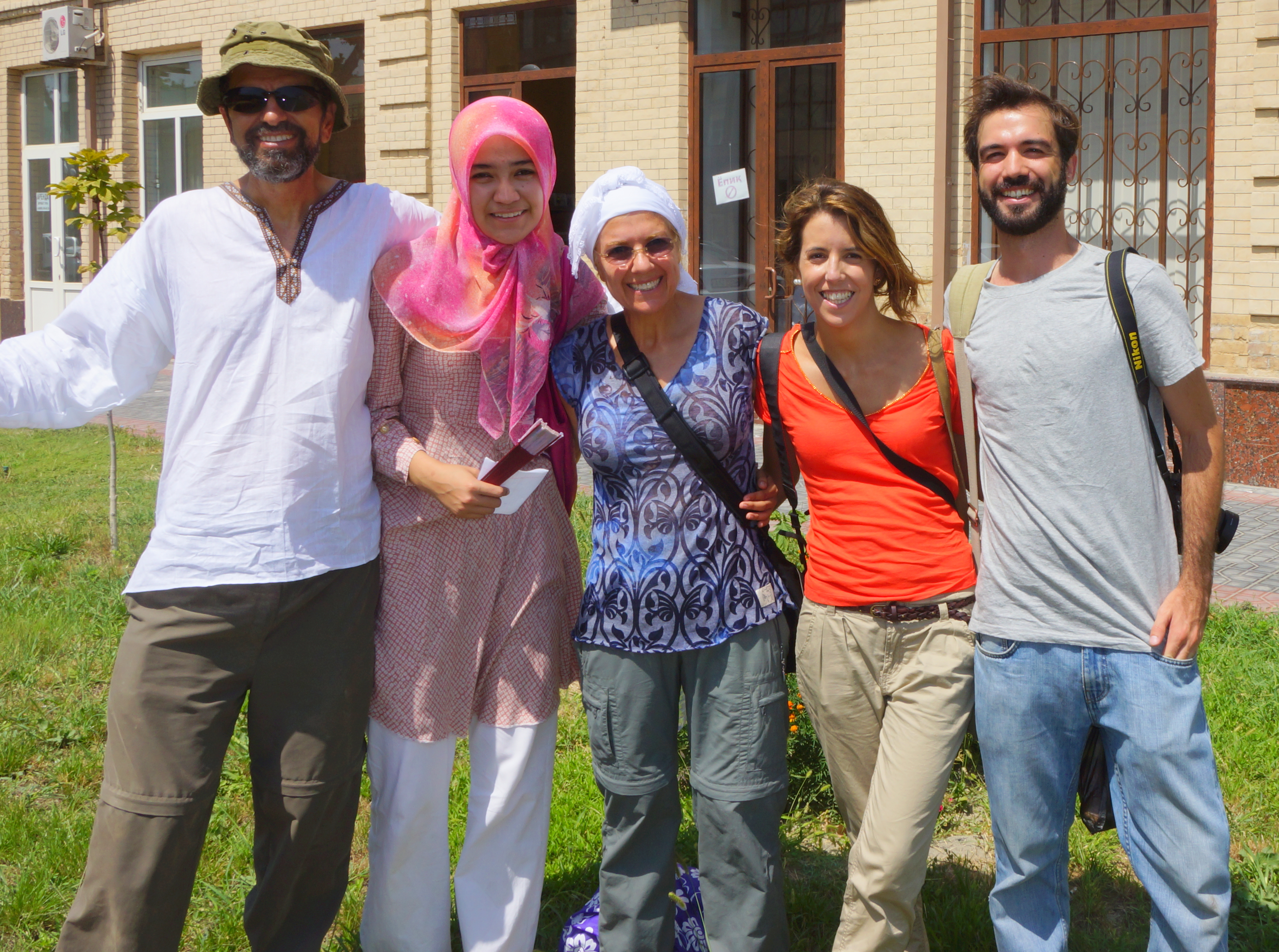
Students group picture

Stork - symbol of peaceful politics of Republic of Uzbekistan

Horse carts at Palace of Khudáyár Khán

Horse carts at Palace of Khudáyár Khán

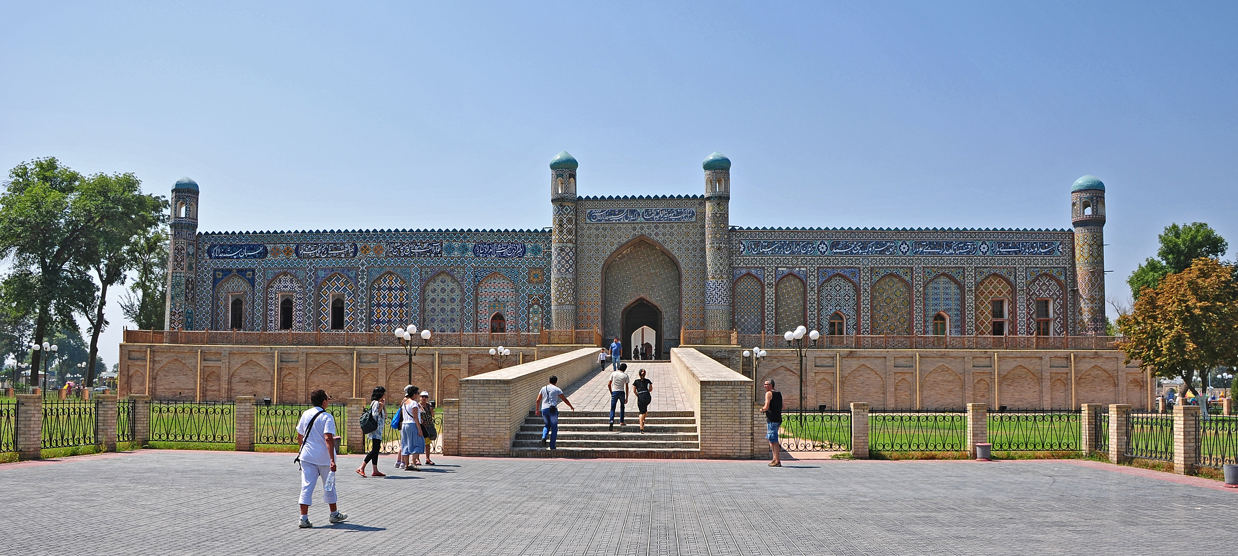
Palace of Khudáyár Khán

Palace of Khudáyár Khán

Palace of Khudáyár Khán

Palace of Khudáyár Khán in Kokand

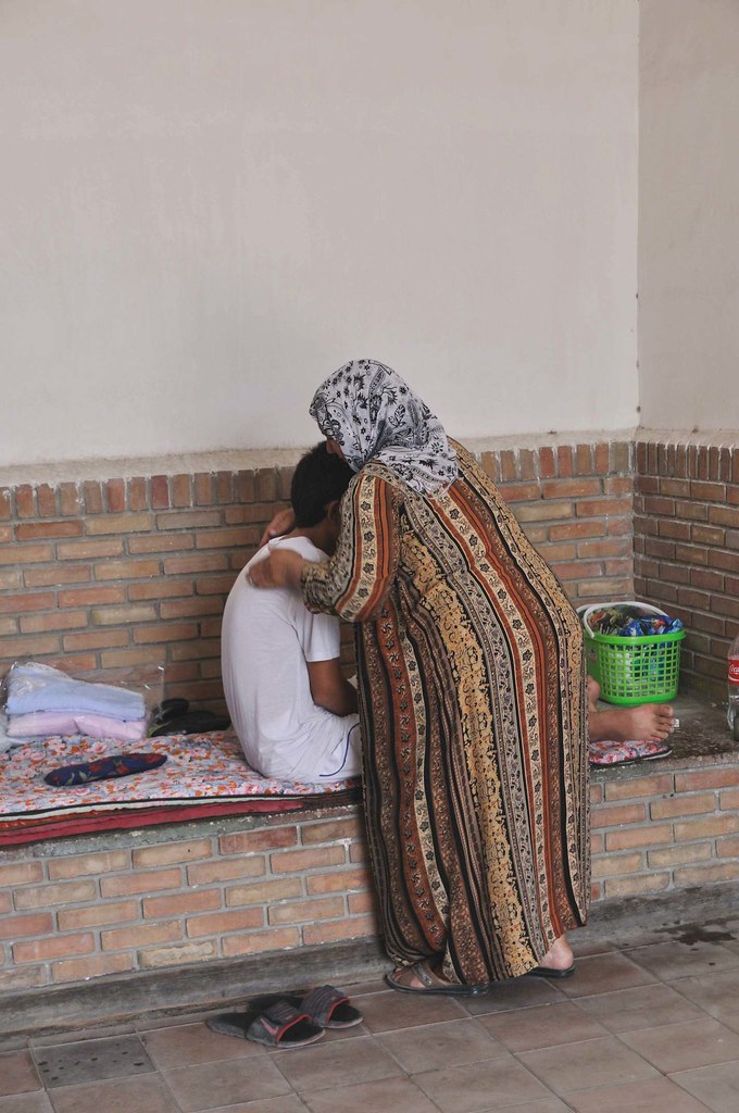
Start of school holidays in Kokand

mirada 55
Palacio Khudayar Khan, Kokand, Uzbekistán
20120818_Kokand_ (3)
20120818_Kokand_ (5)
20120817_Kokand (100)

20120817_Kokand (95)
20120817_Kokand (84)

20120817_Kokand (35)
20120817_Kokand (24)
Topographic Map of Kokand City Park named after Muqimiy, Kokand, Uzbekistan
Find elevation by address:

Places near Kokand City Park named after Muqimiy, Kokand, Uzbekistan:
Recent Searches:
- Elevation of Corso Fratelli Cairoli, 35, Macerata MC, Italy
- Elevation of Tallevast Rd, Sarasota, FL, USA
- Elevation of 4th St E, Sonoma, CA, USA
- Elevation of Black Hollow Rd, Pennsdale, PA, USA
- Elevation of Oakland Ave, Williamsport, PA, USA
- Elevation of Pedrógão Grande, Portugal
- Elevation of Klee Dr, Martinsburg, WV, USA
- Elevation of Via Roma, Pieranica CR, Italy
- Elevation of Tavkvetili Mountain, Georgia
- Elevation of Hartfords Bluff Cir, Mt Pleasant, SC, USA