Elevation of Kohila Parish, Rapla County, Estonia
Location: Estonia > Rapla County >
Longitude: 24.7475218
Latitude: 59.1651981
Elevation: 68m / 223feet
Barometric Pressure: 101KPa
Elevation Map:
Satellite Map:
Related Photos:
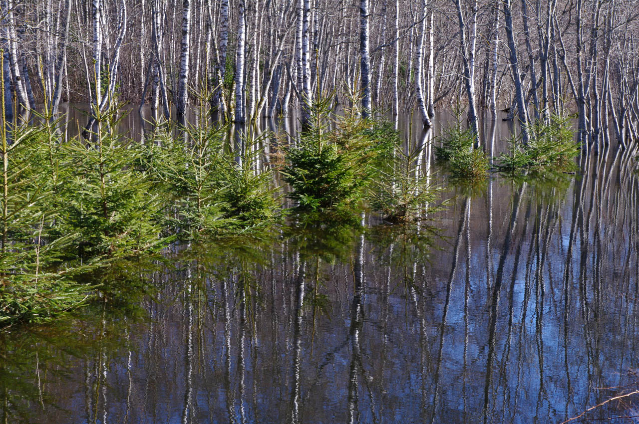
Kuused vees
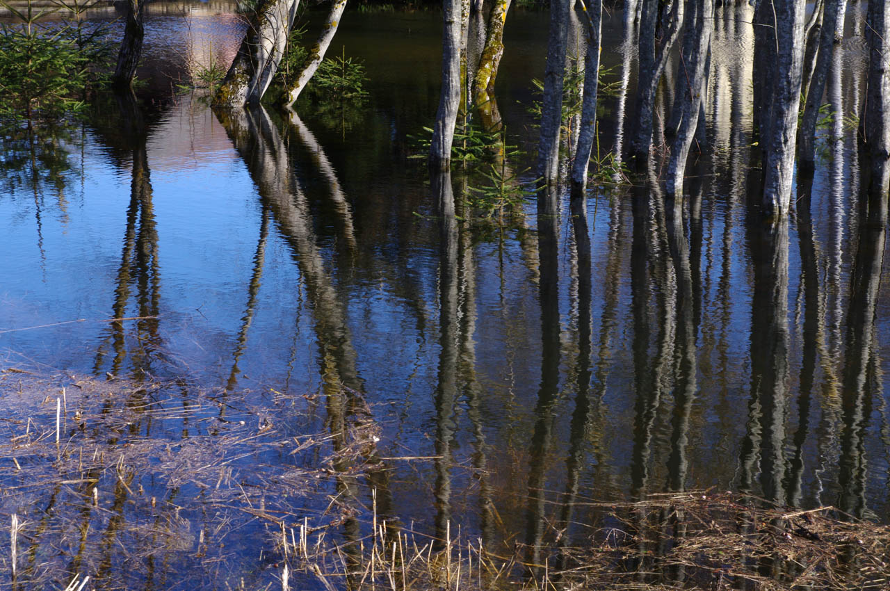
Peegeldus vees

Püsib !
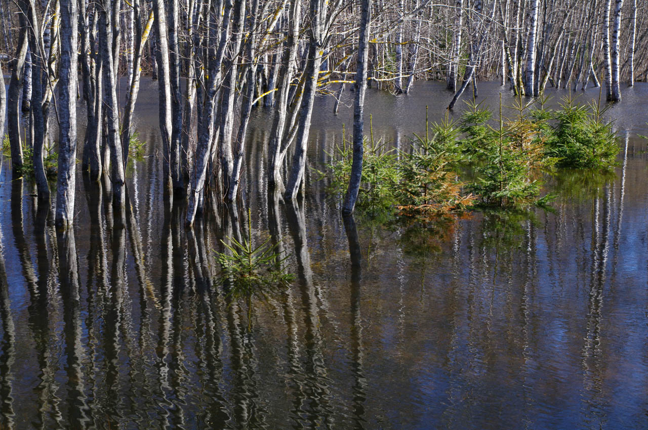
Kevadine suurvesi

Jõulud Järlepas
DSC_0308-2
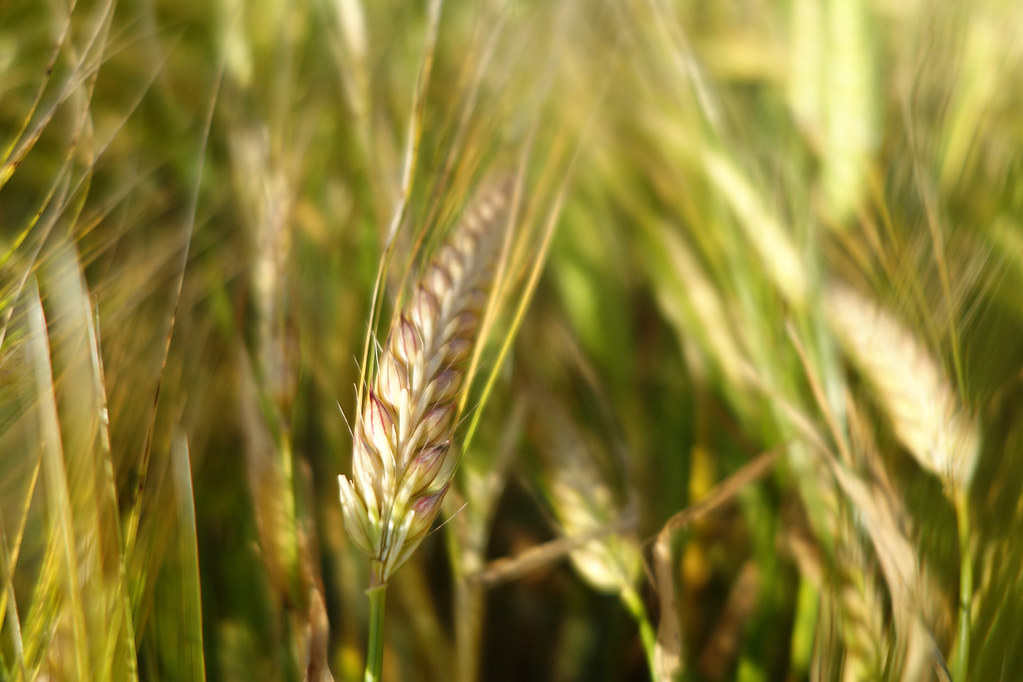
Close-up Bokeh of Wheat
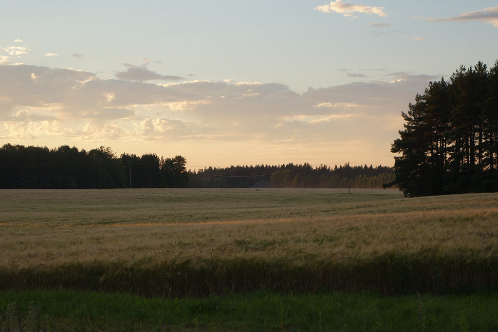
Sunset on a Wheat Field

Saku manor

All Photos-69

All Photos-68

Camera Roll-7
Topographic Map of Kohila Parish, Rapla County, Estonia
Find elevation by address:

Places in Kohila Parish, Rapla County, Estonia:
Places near Kohila Parish, Rapla County, Estonia:
Viljandi maantee, Lohu, Rapla maakond, Estonia
Lohu
Nõmme
Nõmme
Idakaare 23
Idakaare
Karu 11, Koppelmaa, Harju maakond, Estonia
Koppelmaa
Mustamäe
Keskuse 4
Saue
Tallinna Linn
Ääsmäe
Hageri Tee 6
Kesklinn
Tall Hermann
Tallinn
Kiriku Põik
Kiriku Põik
Haabersti
Recent Searches:
- Elevation of Corso Fratelli Cairoli, 35, Macerata MC, Italy
- Elevation of Tallevast Rd, Sarasota, FL, USA
- Elevation of 4th St E, Sonoma, CA, USA
- Elevation of Black Hollow Rd, Pennsdale, PA, USA
- Elevation of Oakland Ave, Williamsport, PA, USA
- Elevation of Pedrógão Grande, Portugal
- Elevation of Klee Dr, Martinsburg, WV, USA
- Elevation of Via Roma, Pieranica CR, Italy
- Elevation of Tavkvetili Mountain, Georgia
- Elevation of Hartfords Bluff Cir, Mt Pleasant, SC, USA