Elevation of Koge, Papua New Guinea
Location: Papua New Guinea > Western Highlands Province >
Longitude: 144.180099
Latitude: -5.79012
Elevation: 1923m / 6309feet
Barometric Pressure: 80KPa
Elevation Map:
Satellite Map:
Related Photos:
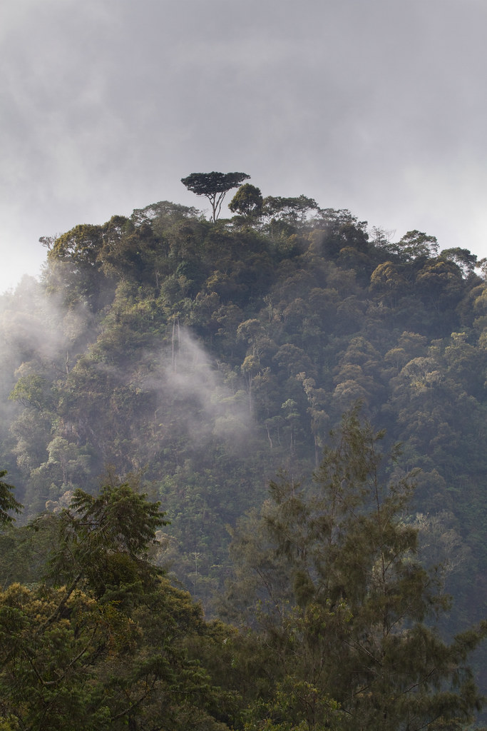
forest view, Unda, near Mt Hagen, PNG, 2010-08-26-2.jpg
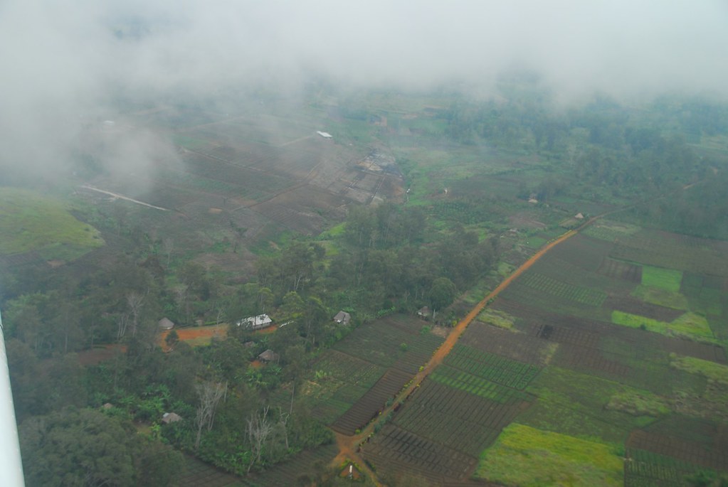
Mt Hagen - view of the fertile Waghi Valley
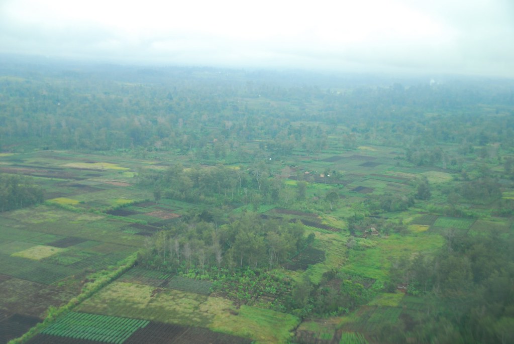
Mt Hagen - view of the fertile Waghi Valley

Kamaga Patrol Post Near Makubene, Western Highlands, Papua New Guinea

Near Makubene, Western Highlands, Papua New Guinea

Near Makubene, Western Highlands, Papua New Guinea

Near Makubene, Western Highlands, Papua New Guinea

Kamaga Patrol Post Near Makubene, Western Highlands, Papua New Guinea
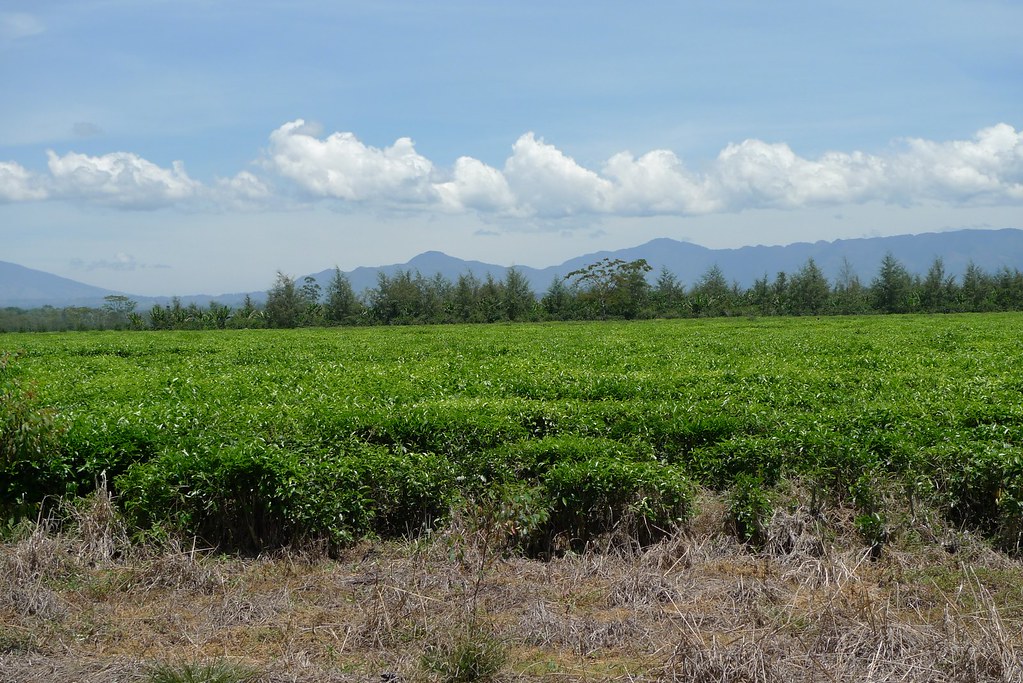
Mt Hagen - tea plants
Topographic Map of Koge, Papua New Guinea
Find elevation by address:

Places near Koge, Papua New Guinea:
Mount Hagen
Melpa Lutheran Church
Western Highlands Province
Tambul
Mount Giluwe
Papua New Guinea
Kandep District
Kandep
Karimui
Recent Searches:
- Elevation of Corso Fratelli Cairoli, 35, Macerata MC, Italy
- Elevation of Tallevast Rd, Sarasota, FL, USA
- Elevation of 4th St E, Sonoma, CA, USA
- Elevation of Black Hollow Rd, Pennsdale, PA, USA
- Elevation of Oakland Ave, Williamsport, PA, USA
- Elevation of Pedrógão Grande, Portugal
- Elevation of Klee Dr, Martinsburg, WV, USA
- Elevation of Via Roma, Pieranica CR, Italy
- Elevation of Tavkvetili Mountain, Georgia
- Elevation of Hartfords Bluff Cir, Mt Pleasant, SC, USA