Elevation of Kodal, Maharashtra, India
Location: India > Maharashtra > Satara >
Longitude: 73.8080869
Latitude: 17.2885518
Elevation: 713m / 2339feet
Barometric Pressure: 93KPa
Elevation Map:
Satellite Map:
Related Photos:

Veru-malle (Telugu: వేరుమల్లె)

KoyanaNagar Sunrise

#macros #macrophotography #dewdrops #nature #iphone4 with #lifetron lens. #green world. #justvagabondtraveldiary

Pune-Ratnagiri

Ganpatipule-Swargate

Ratnagiri-Pune
Patan-Kolhapur

Dapoli-Akkalkot

Dapoli-Akklakot 2

Dapoli-Akklakot

Mandangad-Kolhapur

@Koyna

Koyna st stand

Miraj-Dapoli

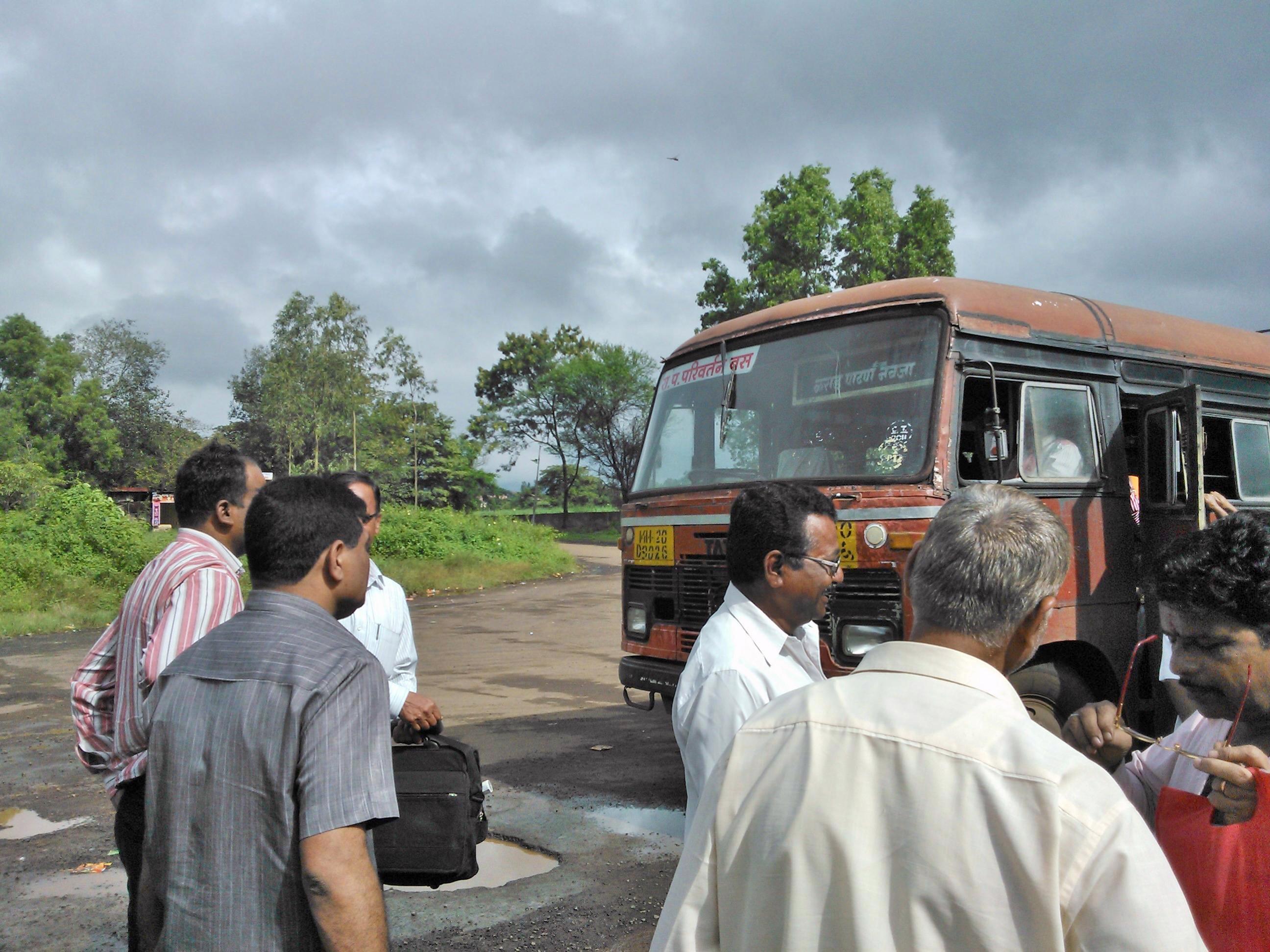
Patan-Aadadev

Karad-Patan-Borivali
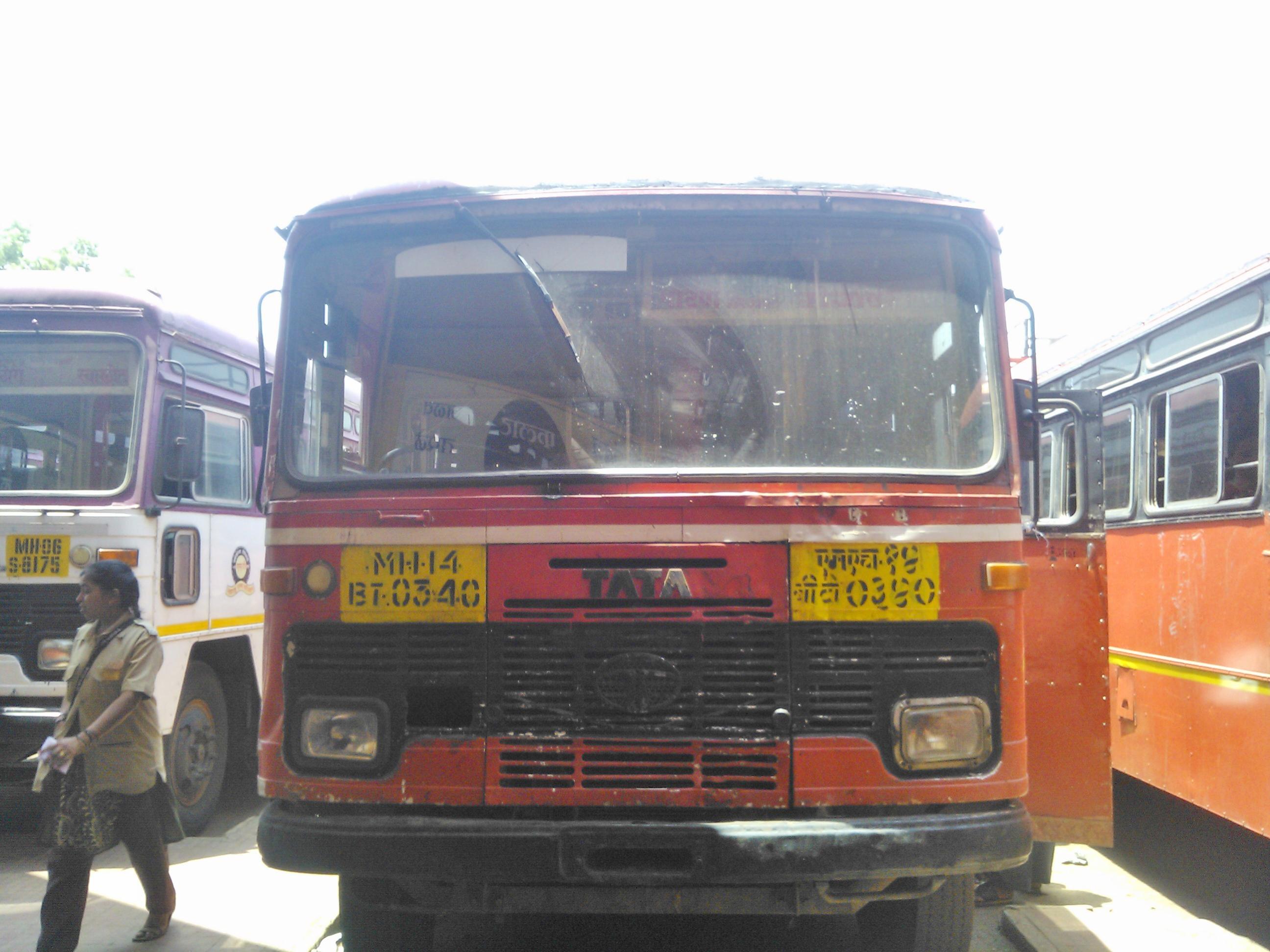
Karad-Patan-Navaja

Ratnagiri-Pune stn

Koynanagar st stand

Miraj-Chiplun

Dapoli-Kavthe Mahakal

Chiplun-Akkalkot
Topographic Map of Kodal, Maharashtra, India
Find elevation by address:

Places near Kodal, Maharashtra, India:
Kahir
Bahe
Chafer
Humbarne
Lendhori
Donichawada
Kadoli
Nav
Vanzole
Mala
Nanel
Marul Tarf Patan
Baje
Rasati
Waghane
Patharpunj
Mendheghar
Koyananagar
Nechal
Shivandeshwar
Recent Searches:
- Elevation of Corso Fratelli Cairoli, 35, Macerata MC, Italy
- Elevation of Tallevast Rd, Sarasota, FL, USA
- Elevation of 4th St E, Sonoma, CA, USA
- Elevation of Black Hollow Rd, Pennsdale, PA, USA
- Elevation of Oakland Ave, Williamsport, PA, USA
- Elevation of Pedrógão Grande, Portugal
- Elevation of Klee Dr, Martinsburg, WV, USA
- Elevation of Via Roma, Pieranica CR, Italy
- Elevation of Tavkvetili Mountain, Georgia
- Elevation of Hartfords Bluff Cir, Mt Pleasant, SC, USA