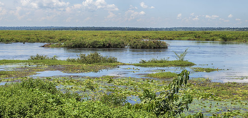
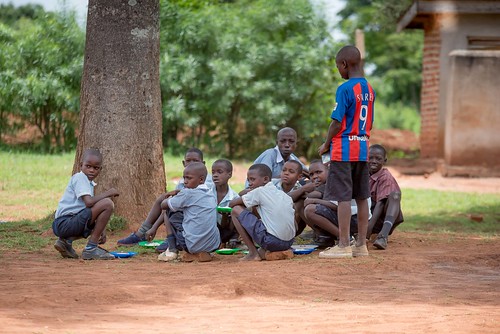
Elevation of Kivule Primary School, Uganda
Location: Uganda > Eastern Region >
Longitude: 33.6491118
Latitude: 0.8563157
Elevation: 1111m / 3645feet
Barometric Pressure: 89KPa
Related Photos:
Topographic Map of Kivule Primary School, Uganda
Find elevation by address:

Places near Kivule Primary School, Uganda:
Eastern Region
Jinja
Kakira
The Rainforest Lodge
Kisoga
Mukono
Mukono
Uganda Japan National Baseball Friendship Stadium
Bweyogerere
Mandela National Stadium
Kirinnya
Kampala
Kyadondo
Kisaasi College School
Ngabo Apartments
Kampala
Central Kampala
Era House
Kilembe Mines Limited
Mulago
Recent Searches:
- Elevation of Corso Fratelli Cairoli, 35, Macerata MC, Italy
- Elevation of Tallevast Rd, Sarasota, FL, USA
- Elevation of 4th St E, Sonoma, CA, USA
- Elevation of Black Hollow Rd, Pennsdale, PA, USA
- Elevation of Oakland Ave, Williamsport, PA, USA
- Elevation of Pedrógão Grande, Portugal
- Elevation of Klee Dr, Martinsburg, WV, USA
- Elevation of Via Roma, Pieranica CR, Italy
- Elevation of Tavkvetili Mountain, Georgia
- Elevation of Hartfords Bluff Cir, Mt Pleasant, SC, USA


