Elevation map of Kitikmeot Region, NU, Canada
Location: Canada > Nunavut >
Longitude: -93.139660
Latitude: 68.8773537
Elevation: 45m / 148feet
Barometric Pressure: 101KPa
Elevation Map:
Satellite Map:
Related Photos:
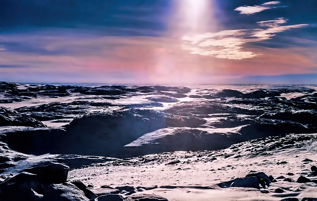
Film-Contre-jour

Do You See The Face? I Do...

The Hood River, Nunavut

ᖁᕐᓗᖅᑐᖅ Kugluktuk

ᖁᕐᓗᖅᑐᖅ Kugluktuk
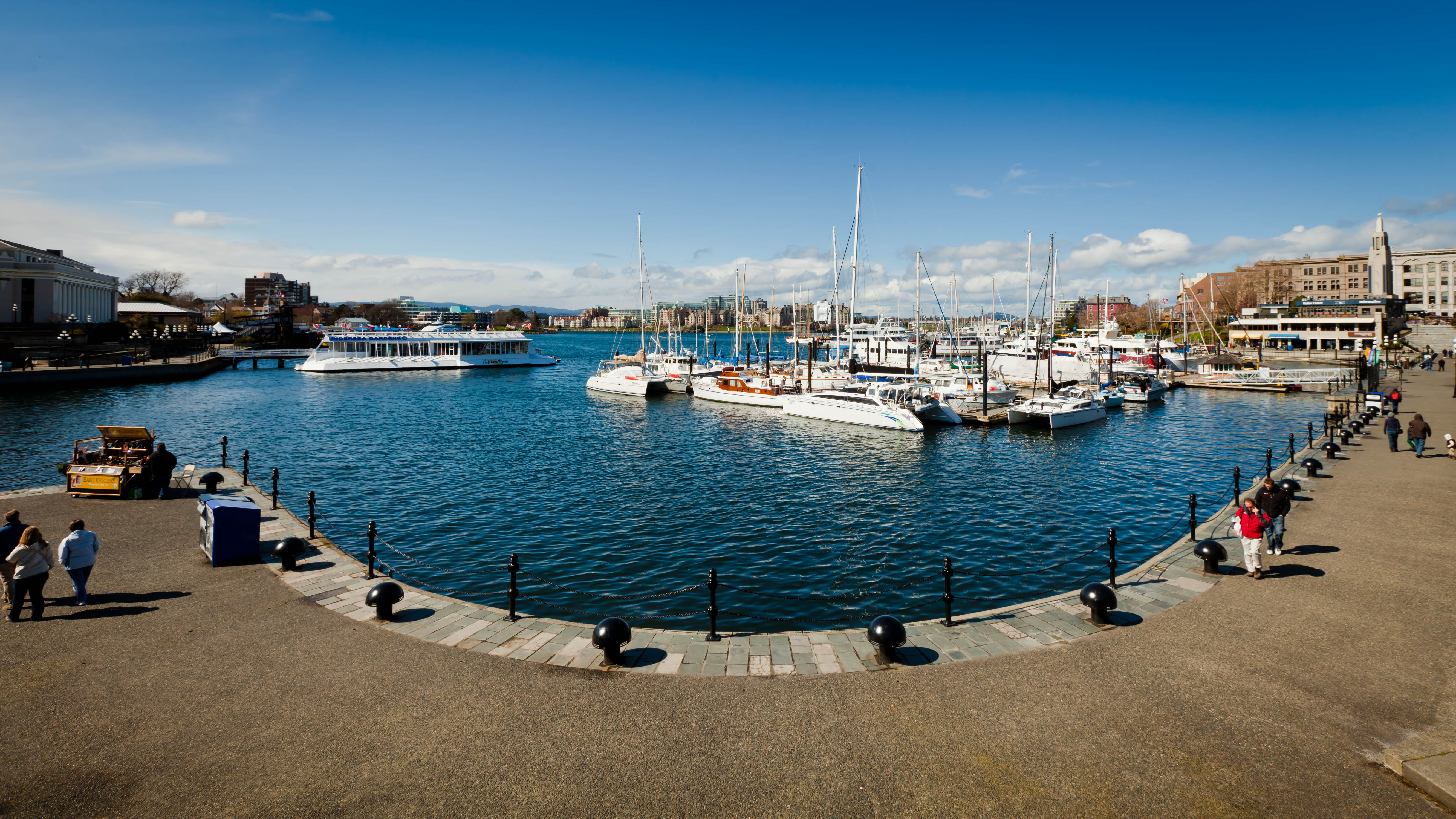
Victoria Island
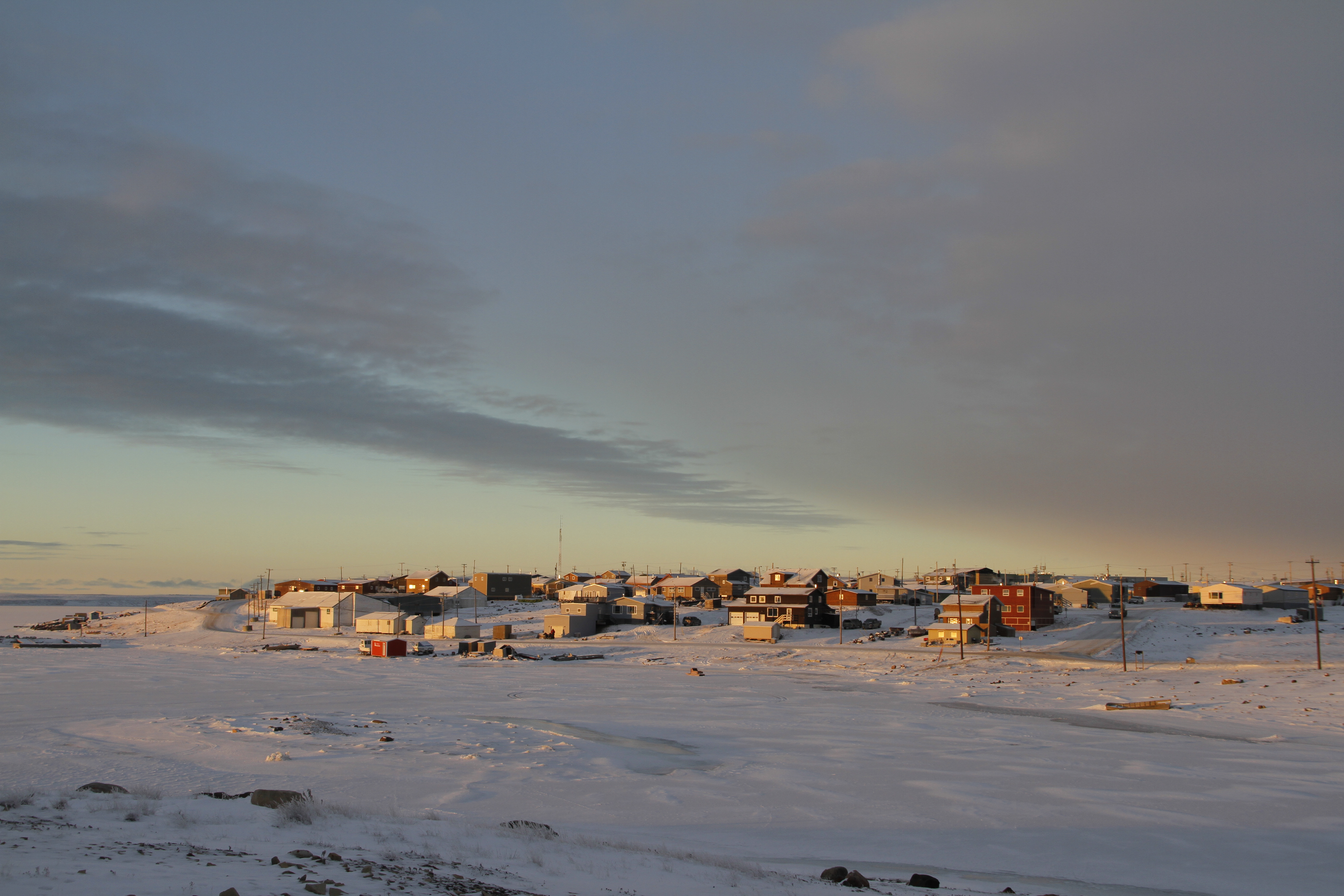
Sunrise across Cambridge Bay
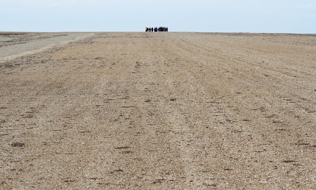
Jenny Lind Island Airstrip
Topographic Map of Kitikmeot Region, NU, Canada
Find elevation by address:

Places in Kitikmeot Region, NU, Canada:
Recent Searches:
- Elevation of Corso Fratelli Cairoli, 35, Macerata MC, Italy
- Elevation of Tallevast Rd, Sarasota, FL, USA
- Elevation of 4th St E, Sonoma, CA, USA
- Elevation of Black Hollow Rd, Pennsdale, PA, USA
- Elevation of Oakland Ave, Williamsport, PA, USA
- Elevation of Pedrógão Grande, Portugal
- Elevation of Klee Dr, Martinsburg, WV, USA
- Elevation of Via Roma, Pieranica CR, Italy
- Elevation of Tavkvetili Mountain, Georgia
- Elevation of Hartfords Bluff Cir, Mt Pleasant, SC, USA