Elevation of Kitatsugaru District, Aomori Prefecture, Japan
Location: Japan > Aomori Prefecture >
Longitude: 140.45
Latitude: 40.984
Elevation: 79m / 259feet
Barometric Pressure: 100KPa
Elevation Map:
Satellite Map:
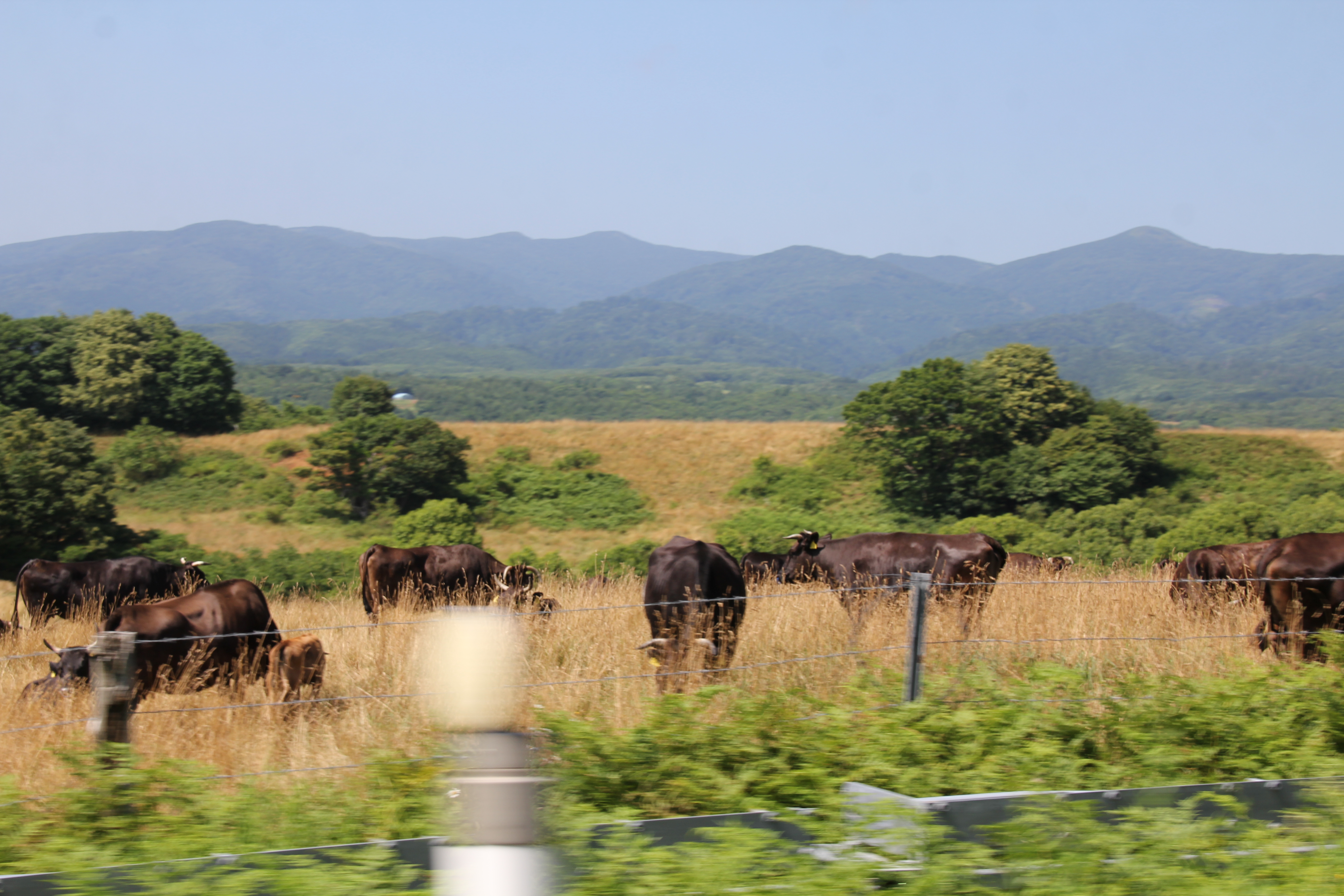
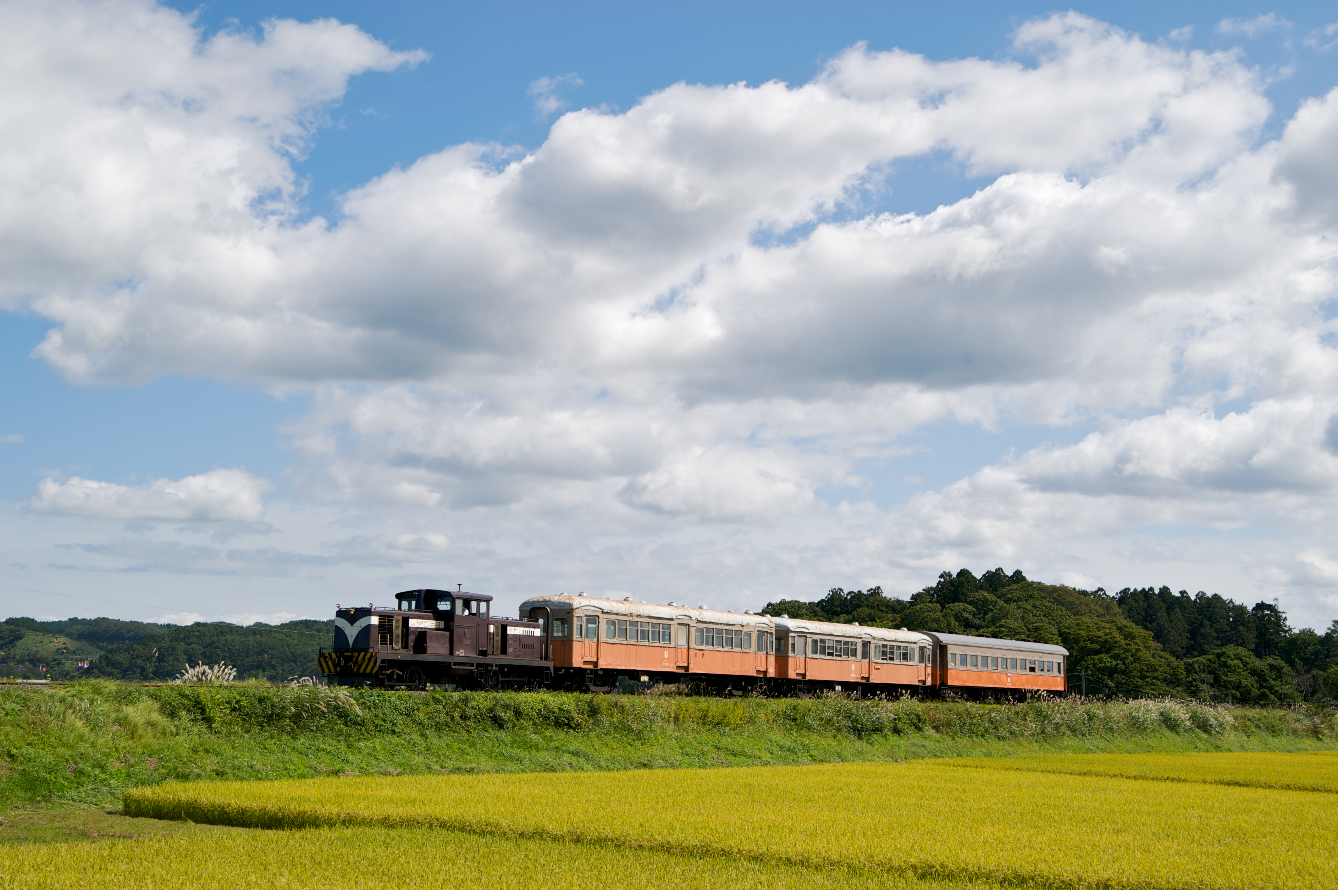
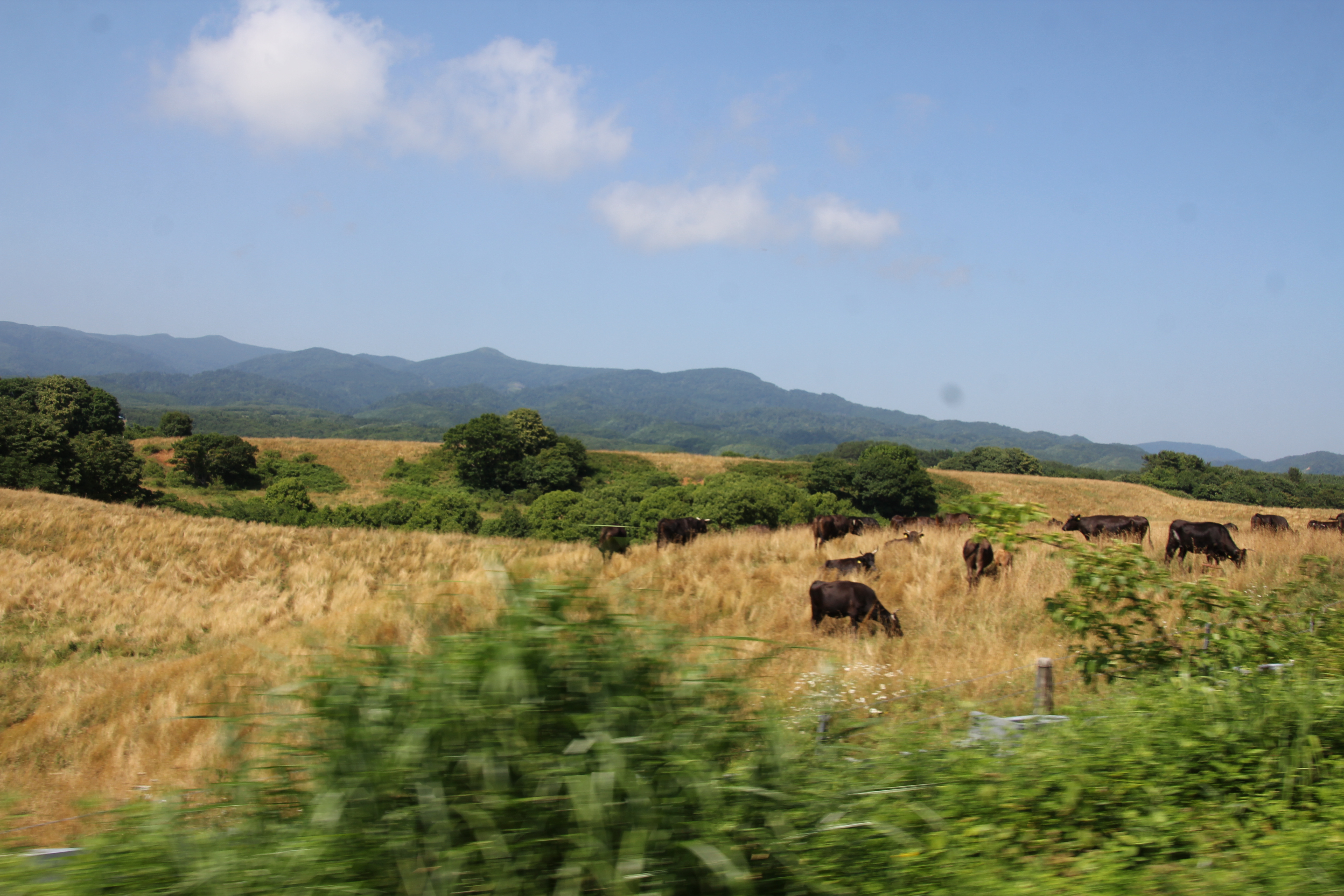
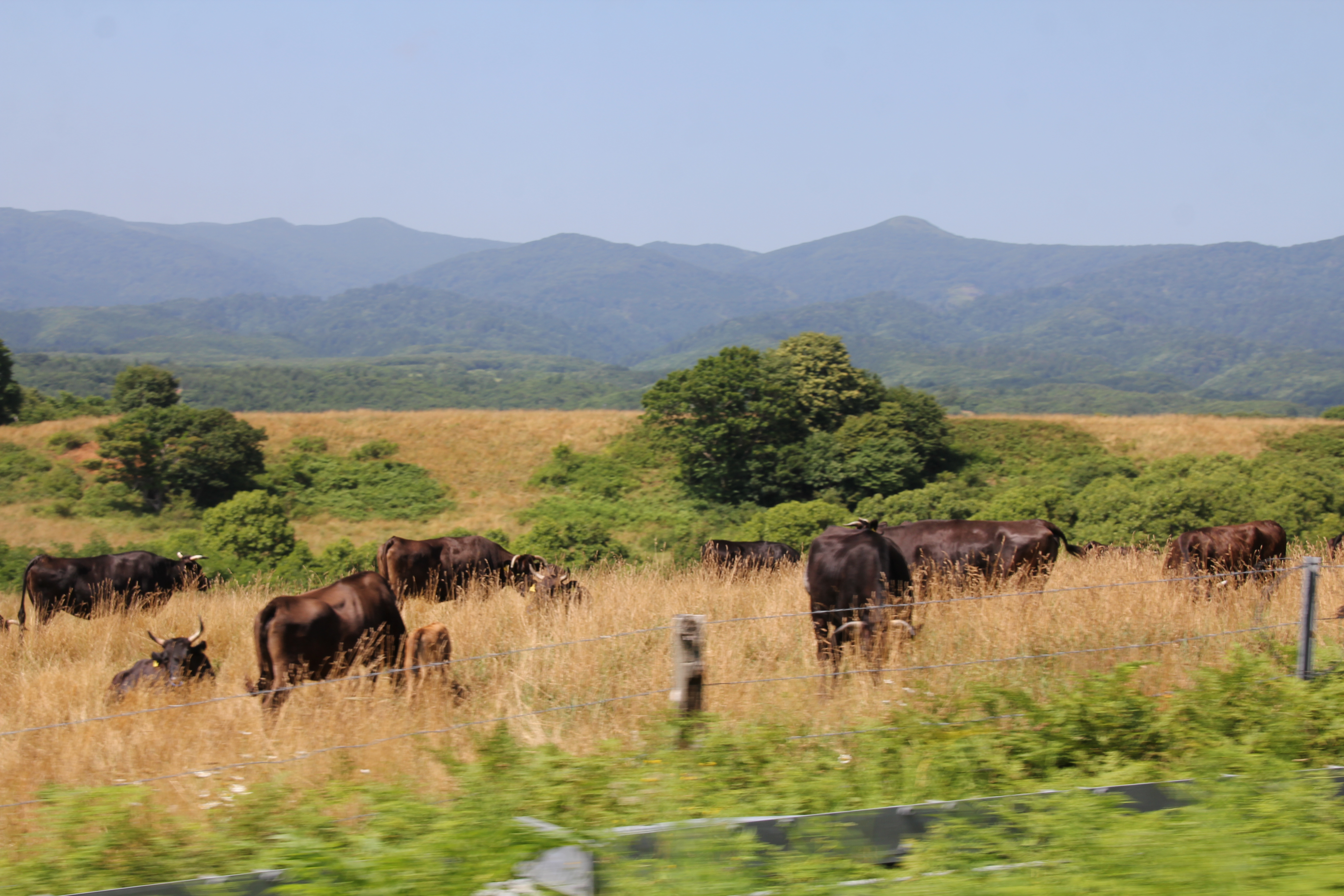
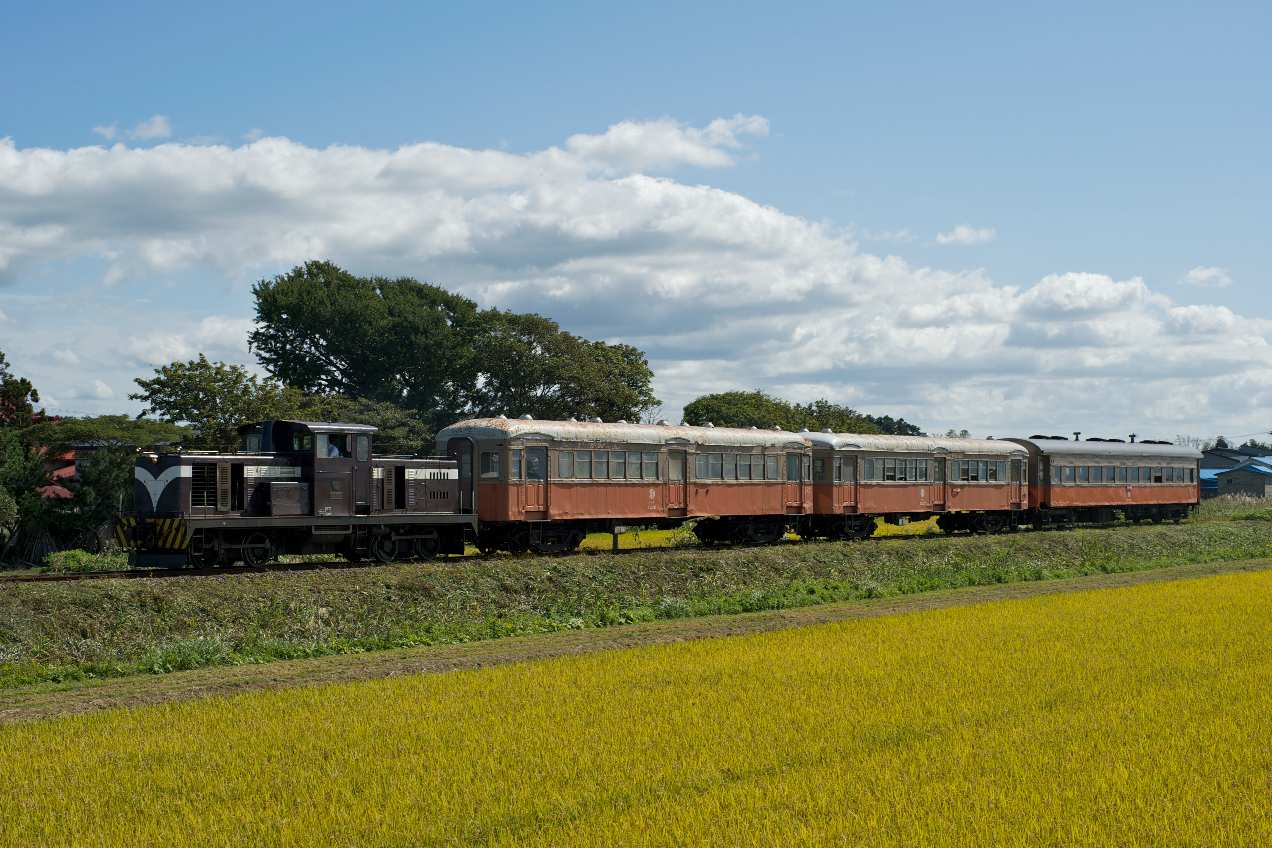
Related Photos:
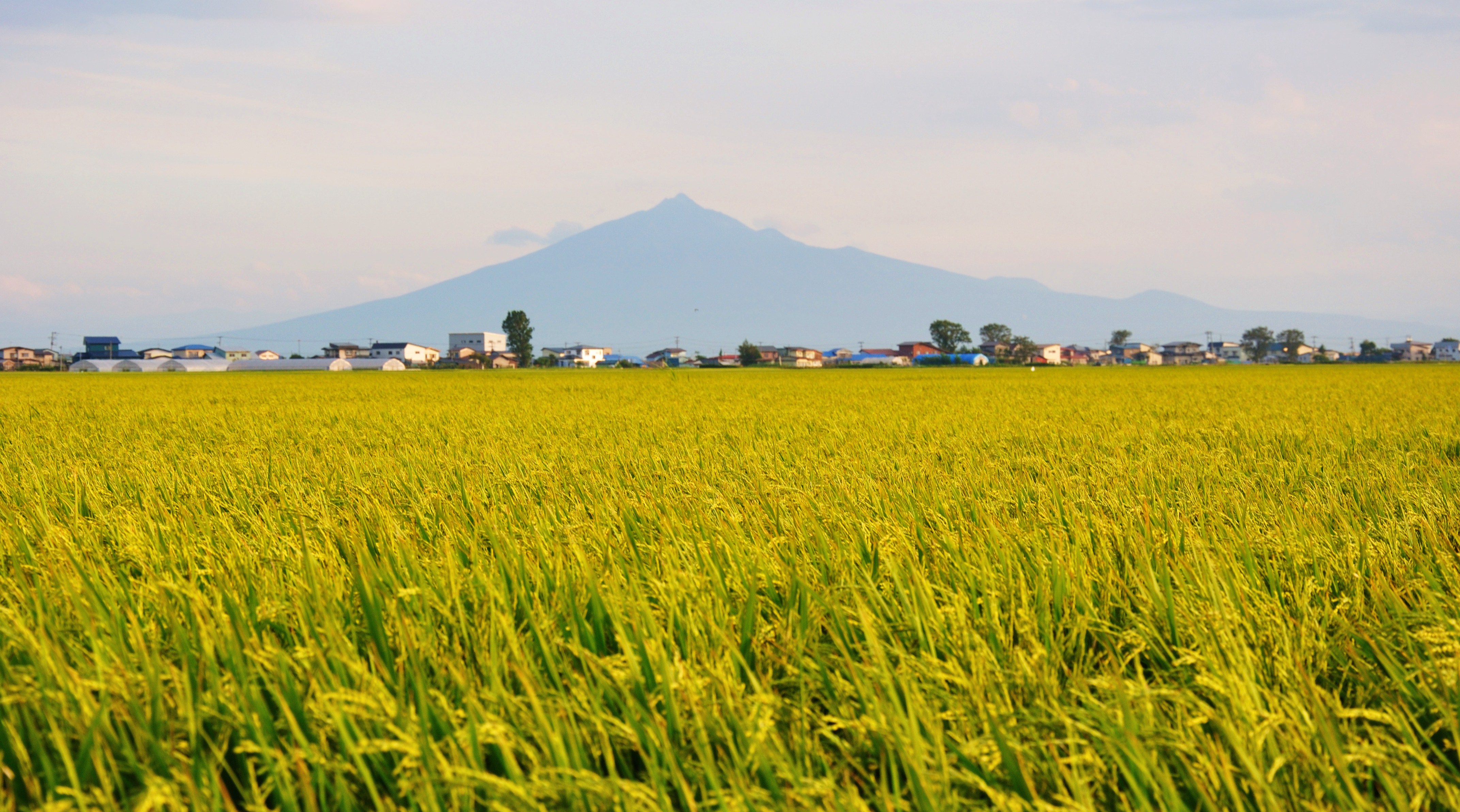
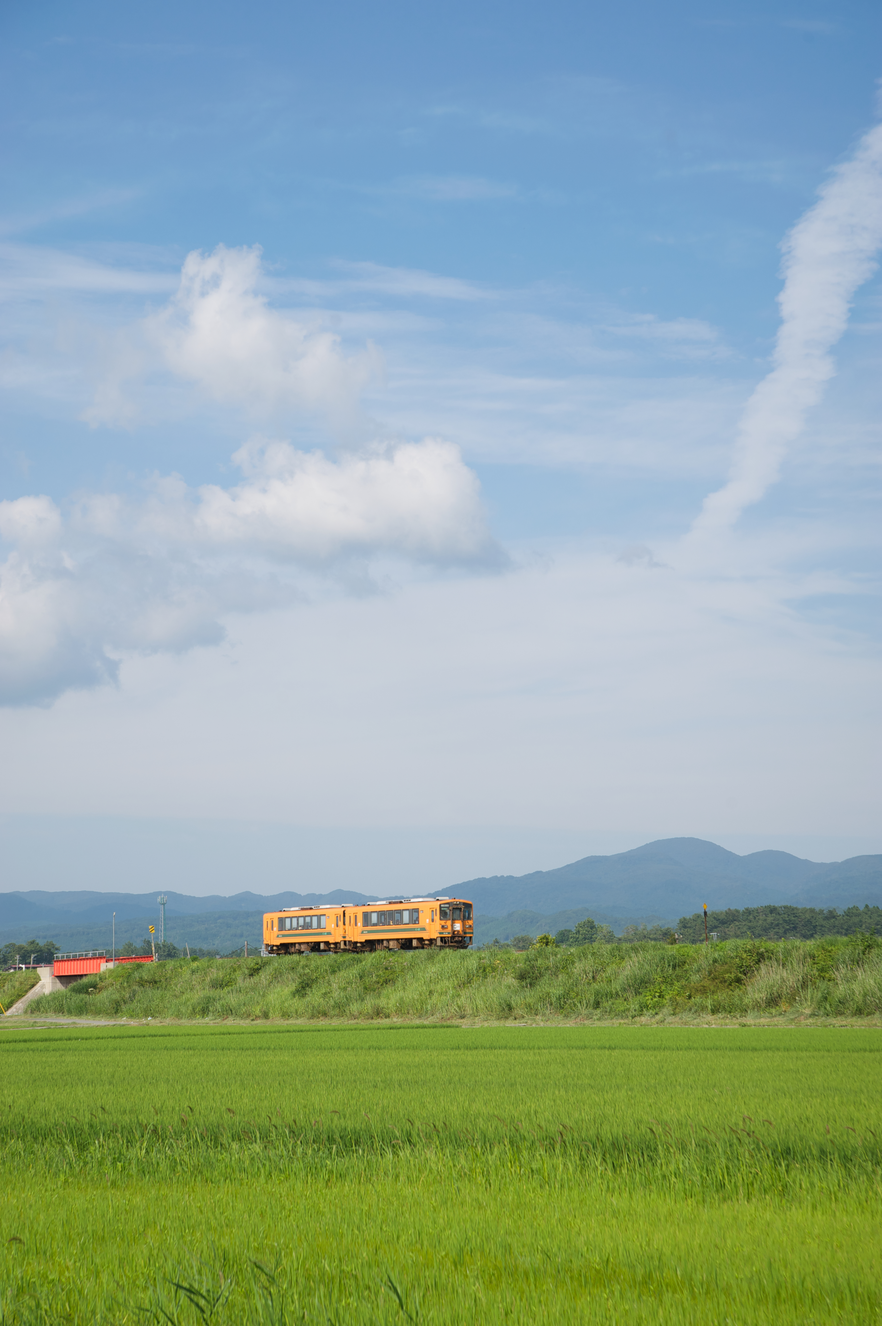
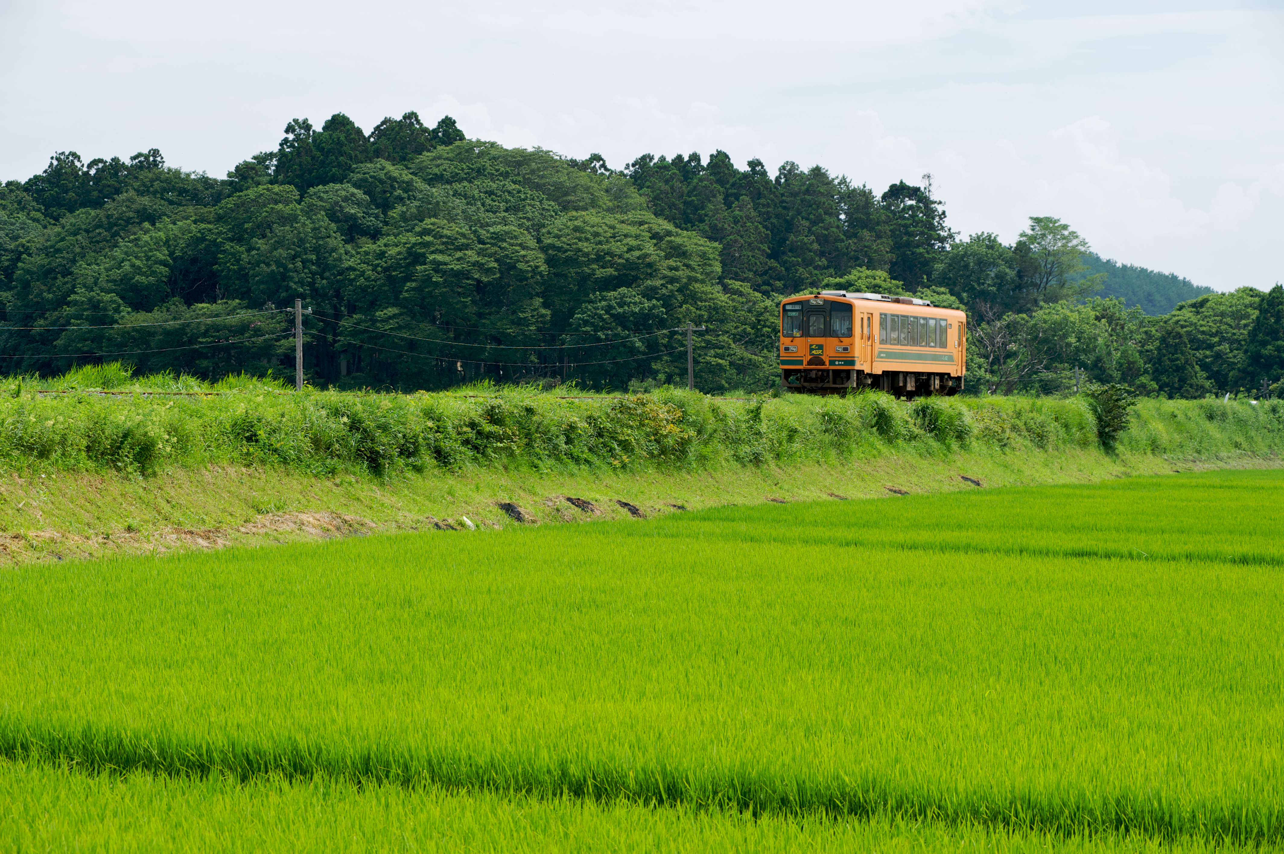
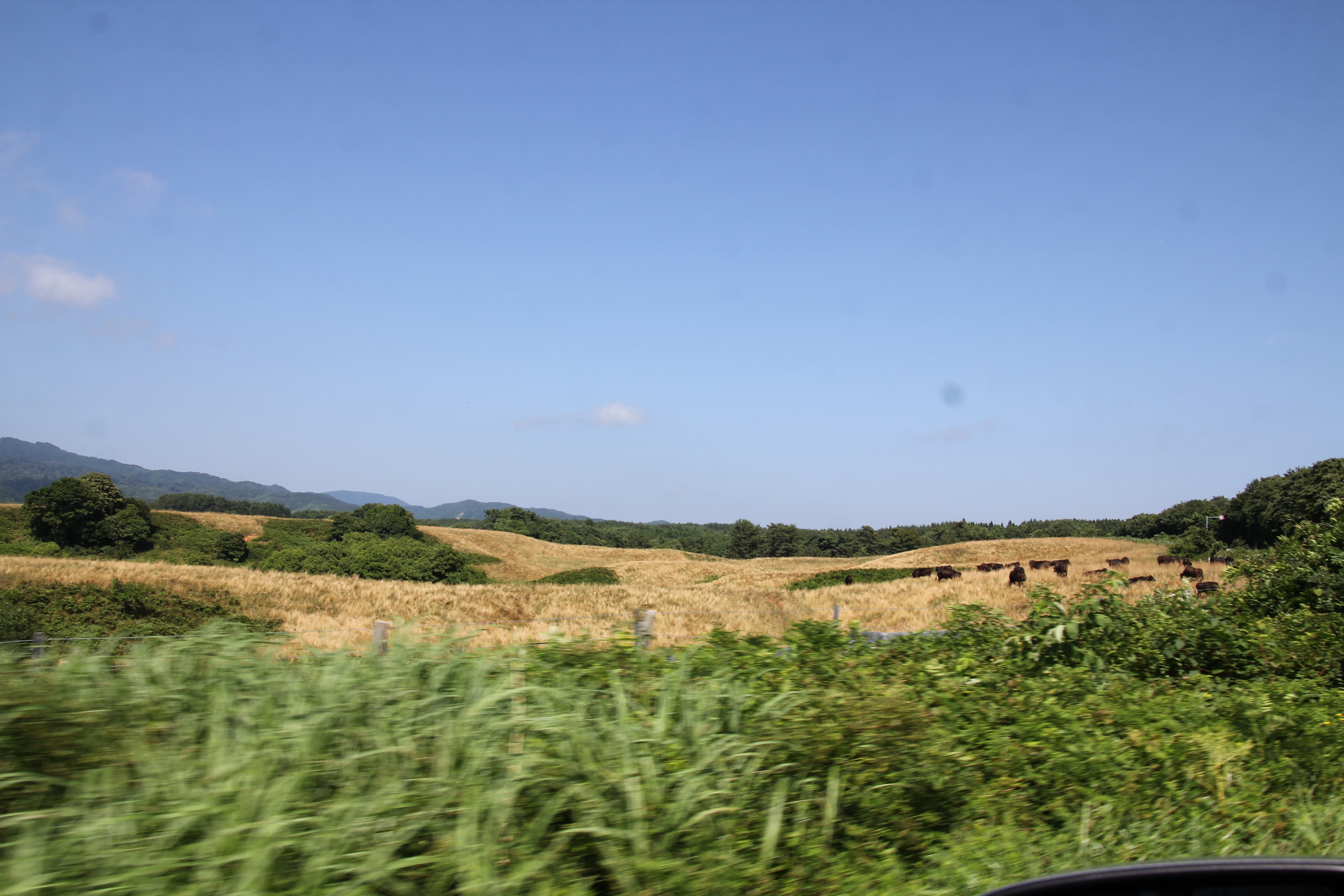
View of Mt. Iwaki from a rice field
IMG_3603.JPG
2009-09-20_DSC5858
IMG_3601.JPG
2009-08-08_DSC5278
IMG_3602.JPG
2009-08-08_DSC5258
2009-09-20_DSC5868
2009-08-08_DSC5260
2009-08-08_DSC5283
IMG_3598.JPG
2009-08-06_DSC5085
2009-08-06_DSC5070
2009-09-20_DSC5884
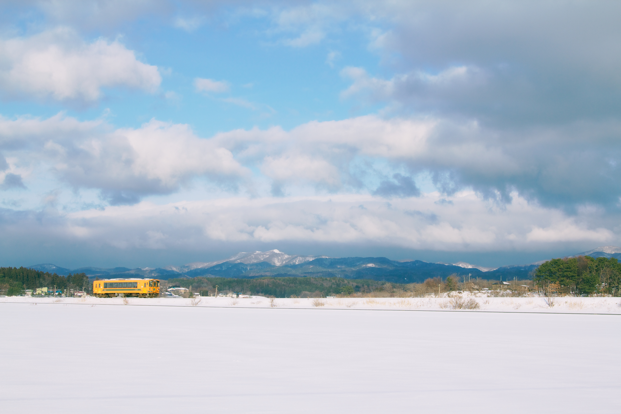
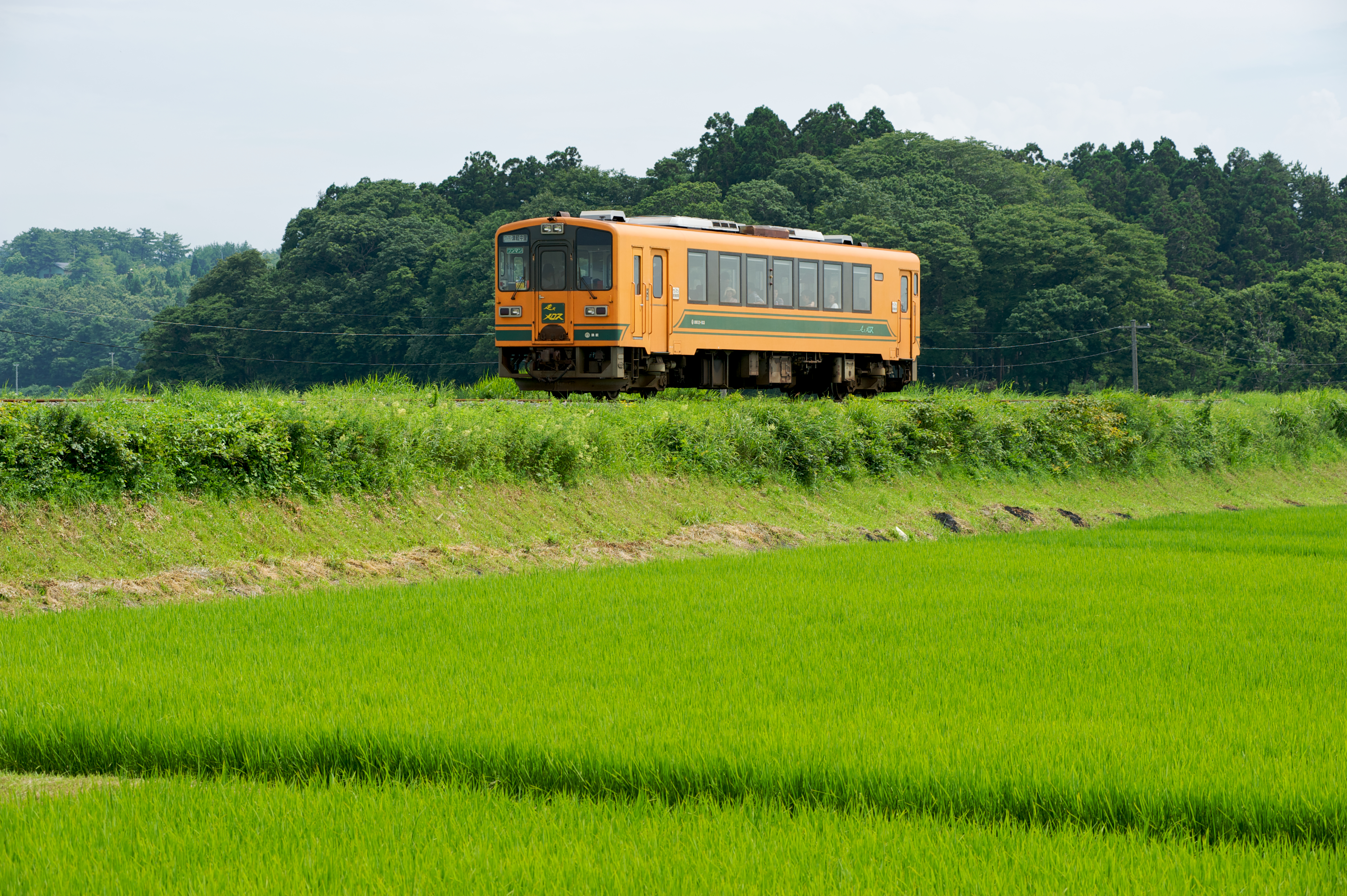
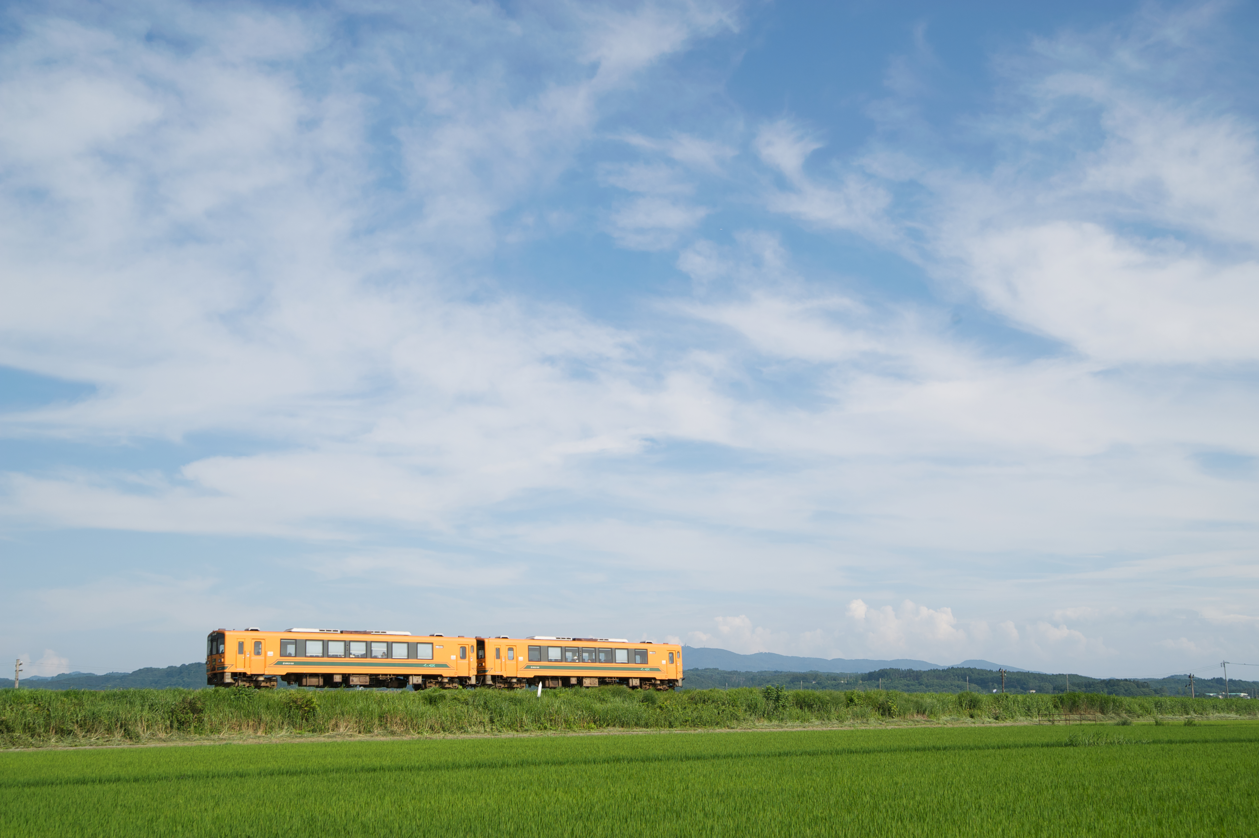
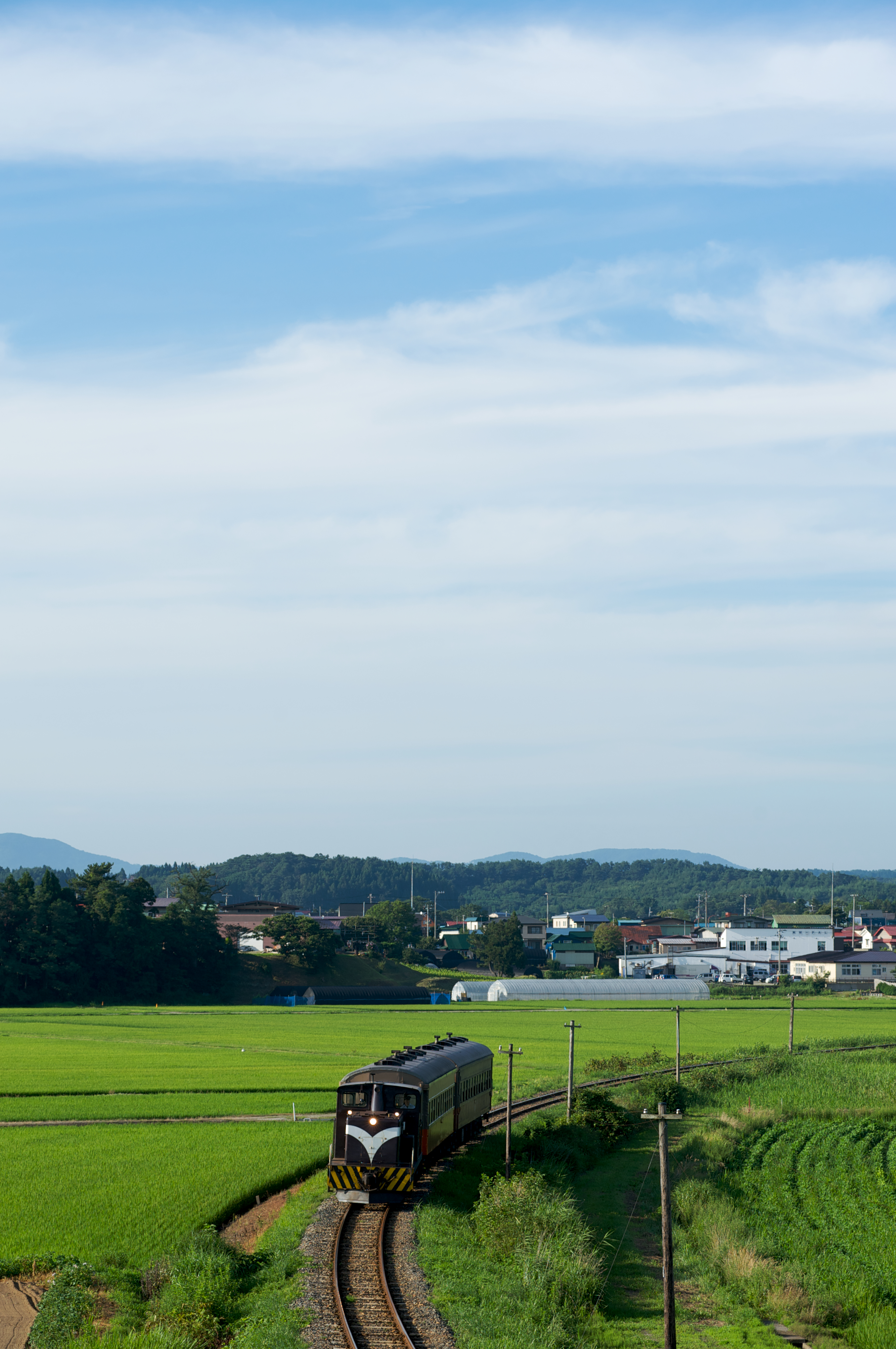
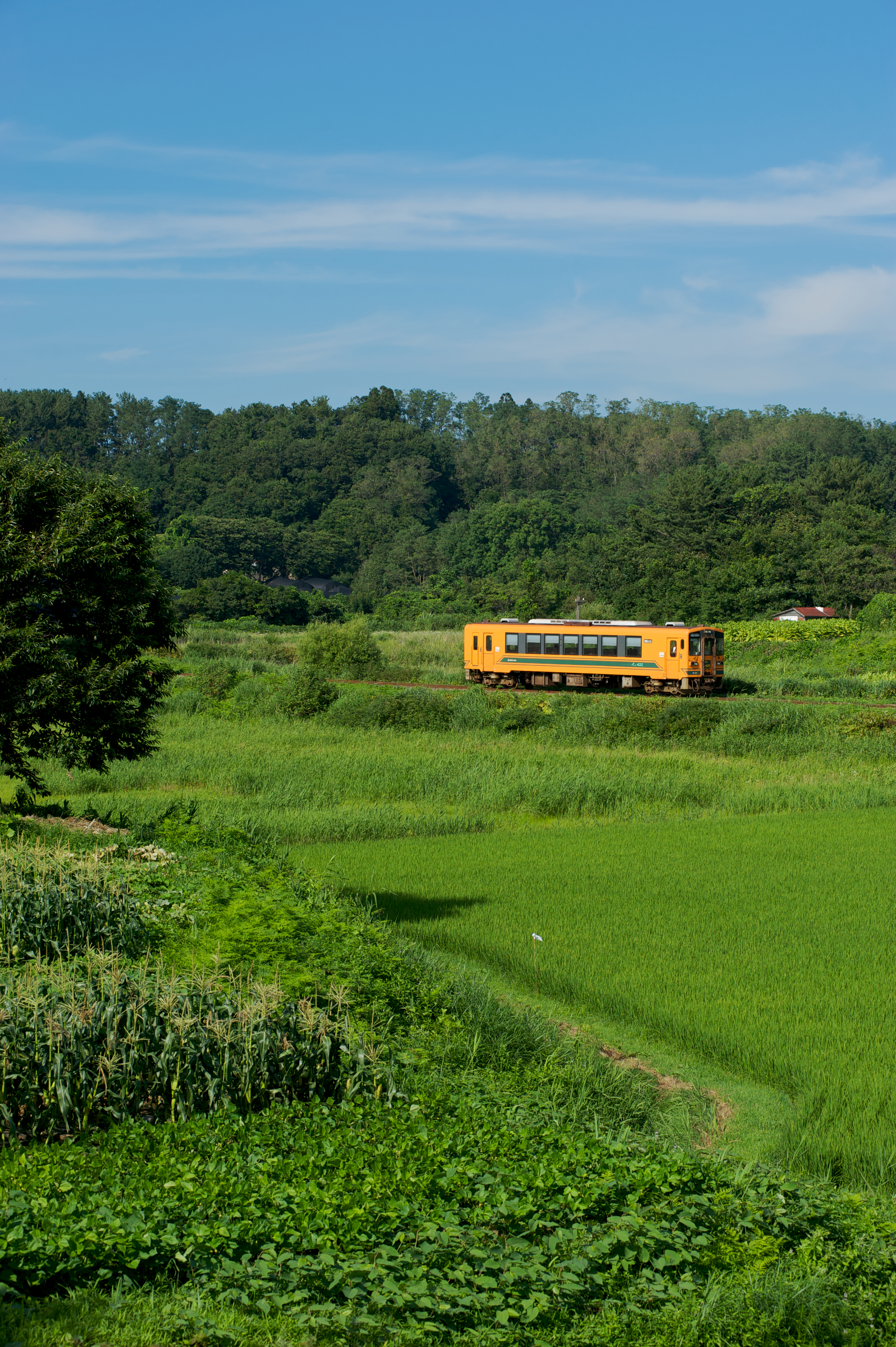
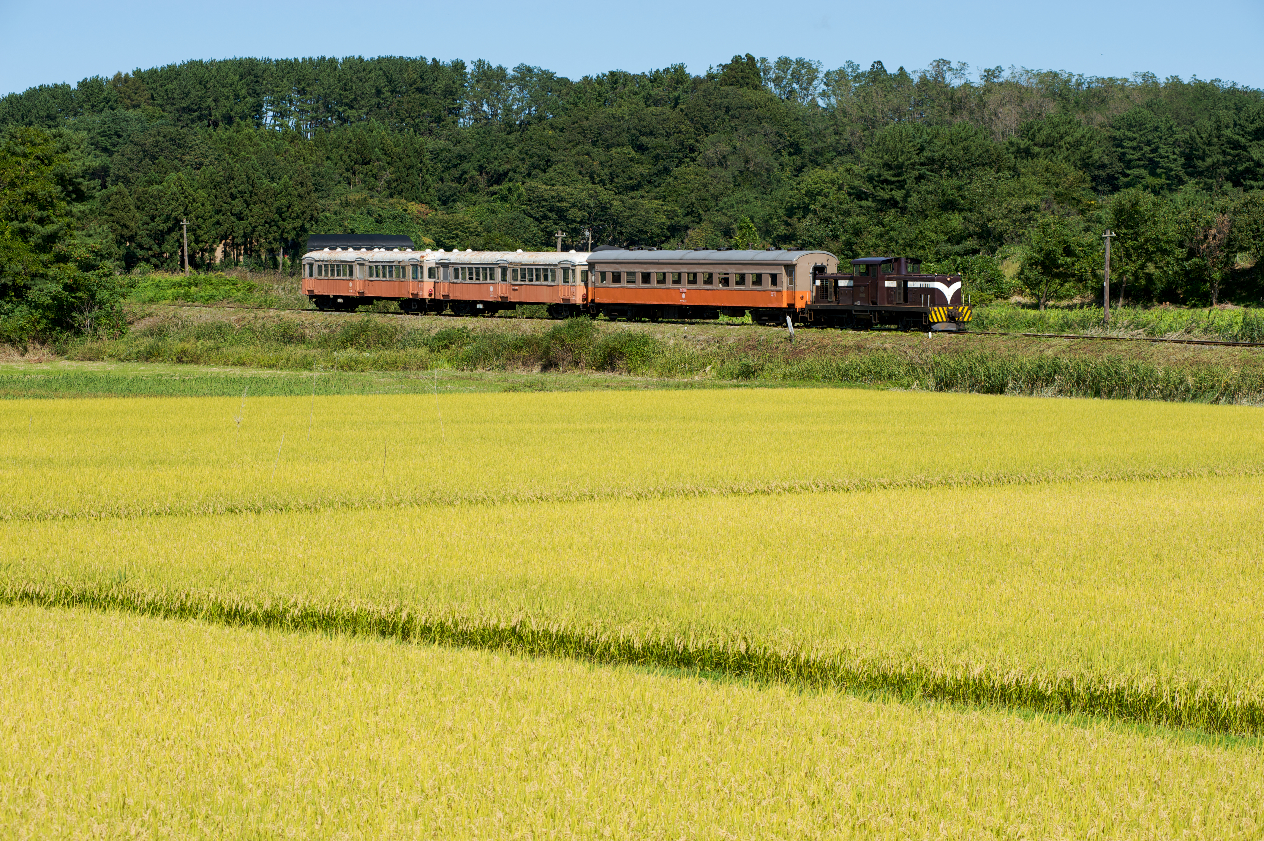
津軽鉄道
Topographic Map of Kitatsugaru District, Aomori Prefecture, Japan
Find elevation by address:

Places in Kitatsugaru District, Aomori Prefecture, Japan:
Places near Kitatsugaru District, Aomori Prefecture, Japan:
Nakadomari
Momijizaka- Nakasato, Nakadomari-machi, Kitatsugaru-gun, Aomori-ken -, Japan
Shichisekino-84- Kanagichō Kawakura, Goshogawara-shi, Aomori-ken -, Japan
Byōbuzan-1- Toyotomichō, Tsugaru-shi, Aomori-ken -, Japan
Aiuchi, Goshogawara-shi, Aomori-ken -, Japan
国指定史跡 大平山元遺跡
Hatanawa-23 Kizukuridōgizaka, Tsugaru-shi, Aomori-ken -, Japan
番外地
Tachiuchi
Sawarabi Tachiuchi
Higashitsugaru District
Kuchiba-12 Kizukuriōbata, Tsugaru-shi, Aomori-ken -, Japan
Goshogawara
Tsugaru
Kiyokawa- Ōkawadai, Imabetsu-machi, Higashitsugaru-gun, Aomori-ken -, Japan
Imabetsu
Kodomari- Kodomari, Nakadomari-machi, Kitatsugaru-gun, Aomori-ken -, Japan
67 Minmayatatsuhama, Sotogahama-machi, Higashitsugaru-gun, Aomori-ken -, Japan
Matsumae
Matsumae Castle
Recent Searches:
- Elevation of Corso Fratelli Cairoli, 35, Macerata MC, Italy
- Elevation of Tallevast Rd, Sarasota, FL, USA
- Elevation of 4th St E, Sonoma, CA, USA
- Elevation of Black Hollow Rd, Pennsdale, PA, USA
- Elevation of Oakland Ave, Williamsport, PA, USA
- Elevation of Pedrógão Grande, Portugal
- Elevation of Klee Dr, Martinsburg, WV, USA
- Elevation of Via Roma, Pieranica CR, Italy
- Elevation of Tavkvetili Mountain, Georgia
- Elevation of Hartfords Bluff Cir, Mt Pleasant, SC, USA