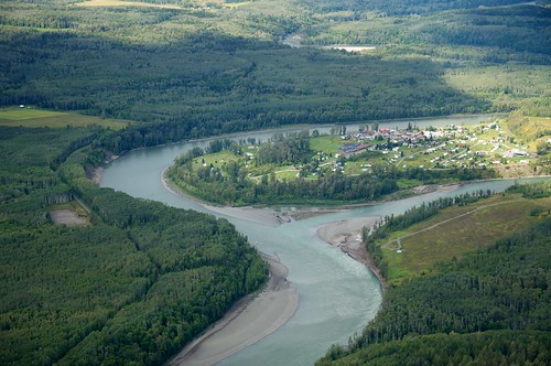
Elevation of Kispiox, BC V0J, Canada

Location: Canada > British Columbia > Kitimat-stikine >

Longitude: -127.68778

Latitude: 55.349017

Elevation: 245m / 804feet

Barometric Pressure: 98KPa

Elevation Map:

elevation map of Kispiox, BC V0J, Canada

Satellite Map:

Satellite map of Kispiox, BC V0J, Canada

Related Photos:

atv4wheeldrive tourismbcblog newhazelton
ATVing to the Bulkley Canyon Gate
skatingrink tourismbcblog newhazelton
Skating on Ross Lake
tourismbcblog newhazelton aboriginalcultural
Kispiox Totem Field
beachesswimming tourismbcblog newhazelton
Night Swim at Ross Lake
tourismbcblog newhazelton historicheritagesites
The First Car In Hazelton
tourismbcblog newhazelton bridgesbuildingsstructures
Hagwilget Bridge Adventure
tourismbcblog newhazelton historicheritagesites
Cataline's Grave in Hazelton
golf tourismbcblog newhazelton
Golfing in the Kispiox Valley near Hazelton
tourismbcblog newhazelton bridgesbuildingsstructures
Relaxation Under the Hagwilget Bridge
wildlifeviewingmarineland tourismbcblog newhazelton
An Adventurous Stroll in Hazelton
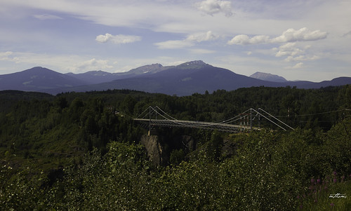
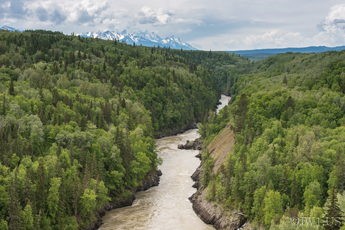
bridge canada mountains britishcolumbia hagwilgetcanyon southhazelton
Hagwilget Canyon #59/100
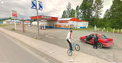
street canada bike trek google bc britishcolumbia flip streetview panamerican newhazelton googlestreetview
Google Street View - Pan-American Trek - The Google Street View Bike Tire Flip!
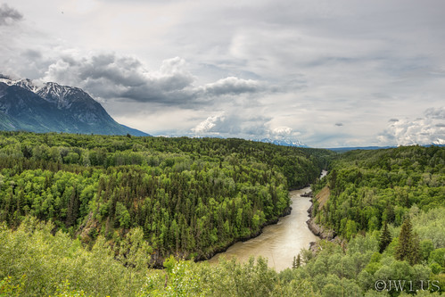
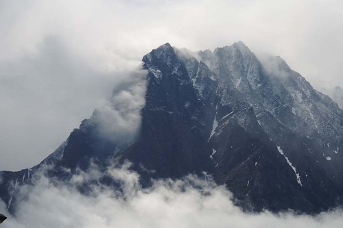
travel trees sky brown mountain canada mountains green water horizontal clouds forest river landscape cool scenery britishcolumbia land northamerica environment majestic tranquil freshwater partlycloudy hazelton stockphotography earthtone westerncanada geologicalfeature joshwhalenphotography whalenphotography joshwhalencom bcalaskatrip
Image ID# Whalen-130610-1413HDR | British Columbia Series
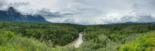
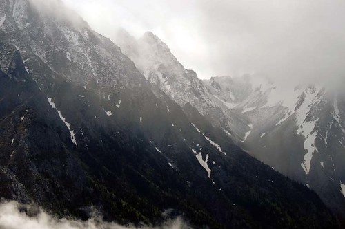
travel trees sky brown mountain canada mountains green water clouds forest river landscape cool scenery britishcolumbia pano panoramic land northamerica environment majestic tranquil freshwater partlycloudy hazelton stockphotography earthtone westerncanada geologicalfeature pano3 joshwhalenphotography panoramic31 whalenphotography joshwhalencom bcalaskatrip
Image ID# Whalen-130610-1408HDR | British Columbia Series
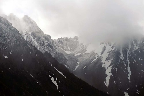
travel trees sky brown mountain canada mountains green water horizontal clouds forest river landscape cool scenery britishcolumbia land northamerica environment majestic tranquil freshwater partlycloudy hazelton stockphotography earthtone westerncanada geologicalfeature joshwhalenphotography whalenphotography joshwhalencom bcalaskatrip
Image ID# Whalen-130610-1357 | British Columbia Series
white canada color colour building church bc britishcolumbia 2007 2000s kispiox canadagood anspayax
hwy16_07f_kispiox_01a BC Skeena Church 2007
geotagged geolat552471666666667 geolon127595
North To Alaska set001 20060808_015r.jpg
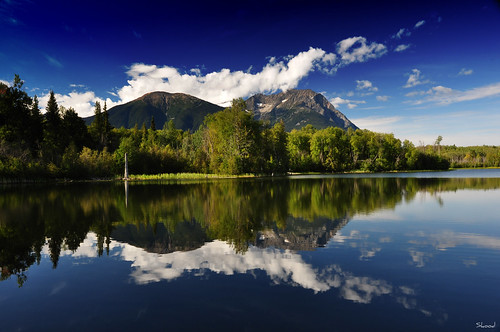
Ross Lake early Morning2
canada britishcolumbia north nord norte canadá kanada канада северно galeonfotografia
Canada - norte, north, nord
canada britishcolumbia north nord norte canadá kanada канада северно galeonfotografia
Canada - norte, north, nord
canada britishcolumbia north nord norte canadá kanada канада северно galeonfotografia
Canada - norte, north, nord
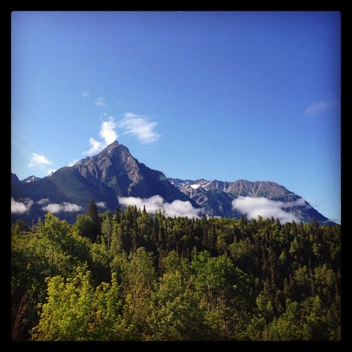
square squareformat hefe iphoneography instagramapp uploaded:by=instagram
#hazelton #explorebc Road Trip!
canada britishcolumbia north nord norte canadá kanada канада северно galeonfotografia
Canada - norte, north, nord
canada britishcolumbia north nord norte canadá kanada канада северно galeonfotografia
Canada - norte, north, nord
canada britishcolumbia north nord norte canadá kanada канада северно galeonfotografia
Canada - norte, north, nord
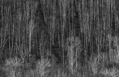
blackandwhite abstract forest poplar pattern chaos grove hillside hazelton canadapt
Chautauqua #14 'Hagwilget'
canada britishcolumbia north nord norte canadá kanada канада северно galeonfotografia
Canada - norte, north, nord
canada britishcolumbia north nord norte canadá kanada канада северно galeonfotografia
Canada - norte, north, nord
river bravo scenery stream salmon columbia british wilderness specnature abigfave
Salmon Stream Near Smitters BC
everydayfor7weeks
Everyday for 7 Weeks - Day 23 - Stewart to Prince George
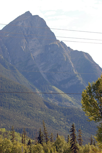
canada mountains bc britishcolumbia hazelton skeenariver rochedeboule ksan gitxsan bulkleyriver hagwilget northwestbc newhazelton gitanmaax
Stegyawden (also known as Hagwilget Peak and the Roche de Boule mountain range) looking across the Bulkley River near its confluence with the Skeena River, Hazelton British Columbia, Canada.
canada river bc britishcolumbia aerial confluence skeenariver ksan gitxsan bulkleyriver kitlope2011trip
'Ksan at Skeena/Bulkley confluence
fishing tourismbcblog newhazelton
A Day of Fishing at Anderson Flatts