Elevation of Kirkland, WA, USA
Location: United States > Washington > King County >
Longitude: -122.20873
Latitude: 47.6814875
Elevation: 47m / 154feet
Barometric Pressure: 101KPa
Elevation Map:
Satellite Map:
Related Photos:

McMahon Balcony Panorama
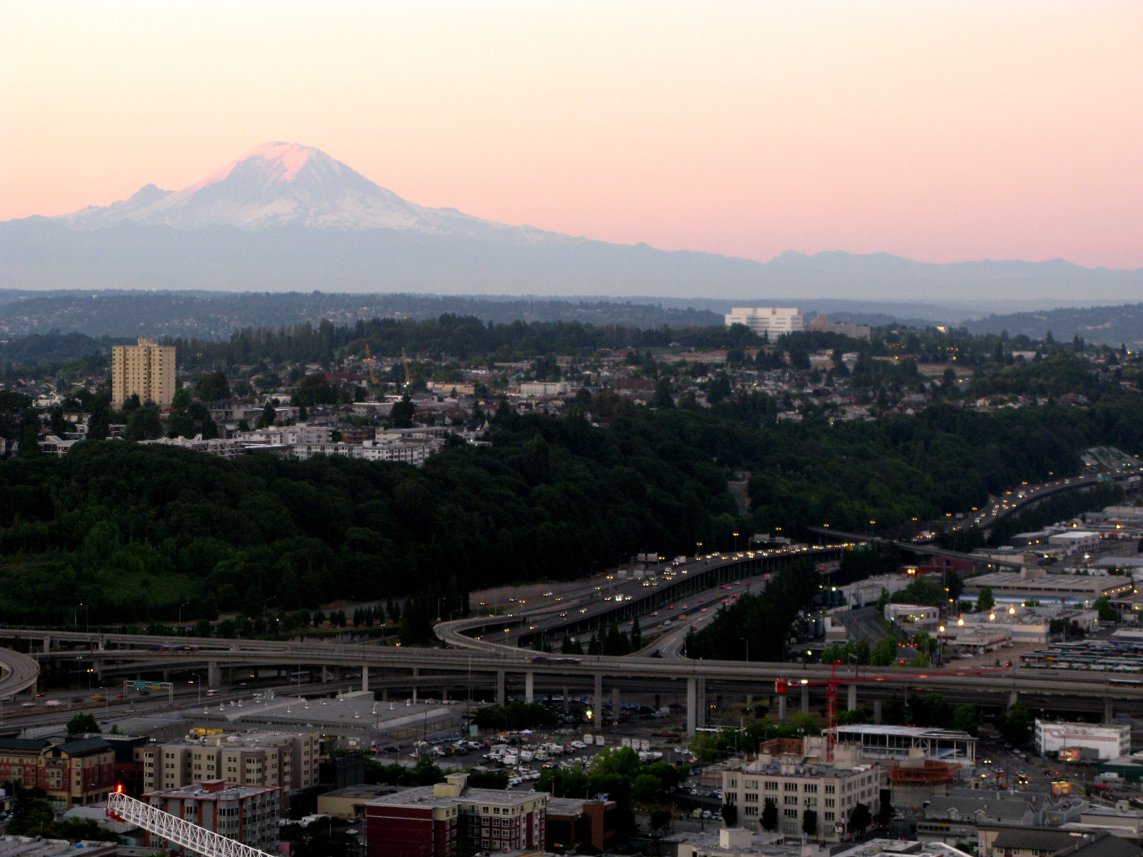
Mt Rainier and Beacon Hill
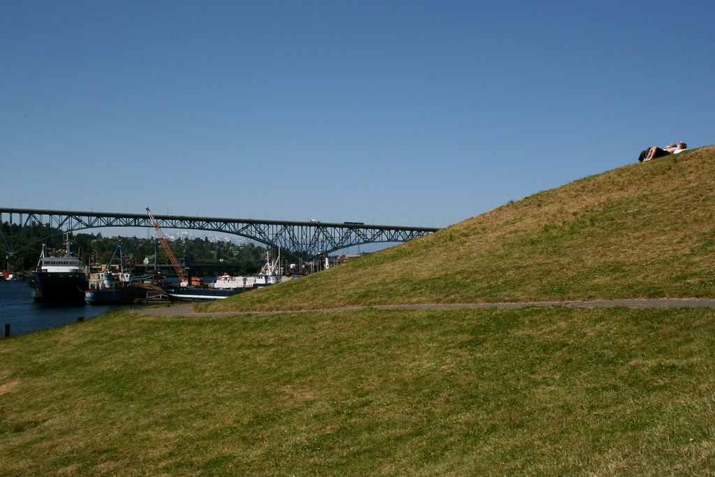
Gas Works Park from Lakeview Blvd
gas works park

University of Washington Medical Center
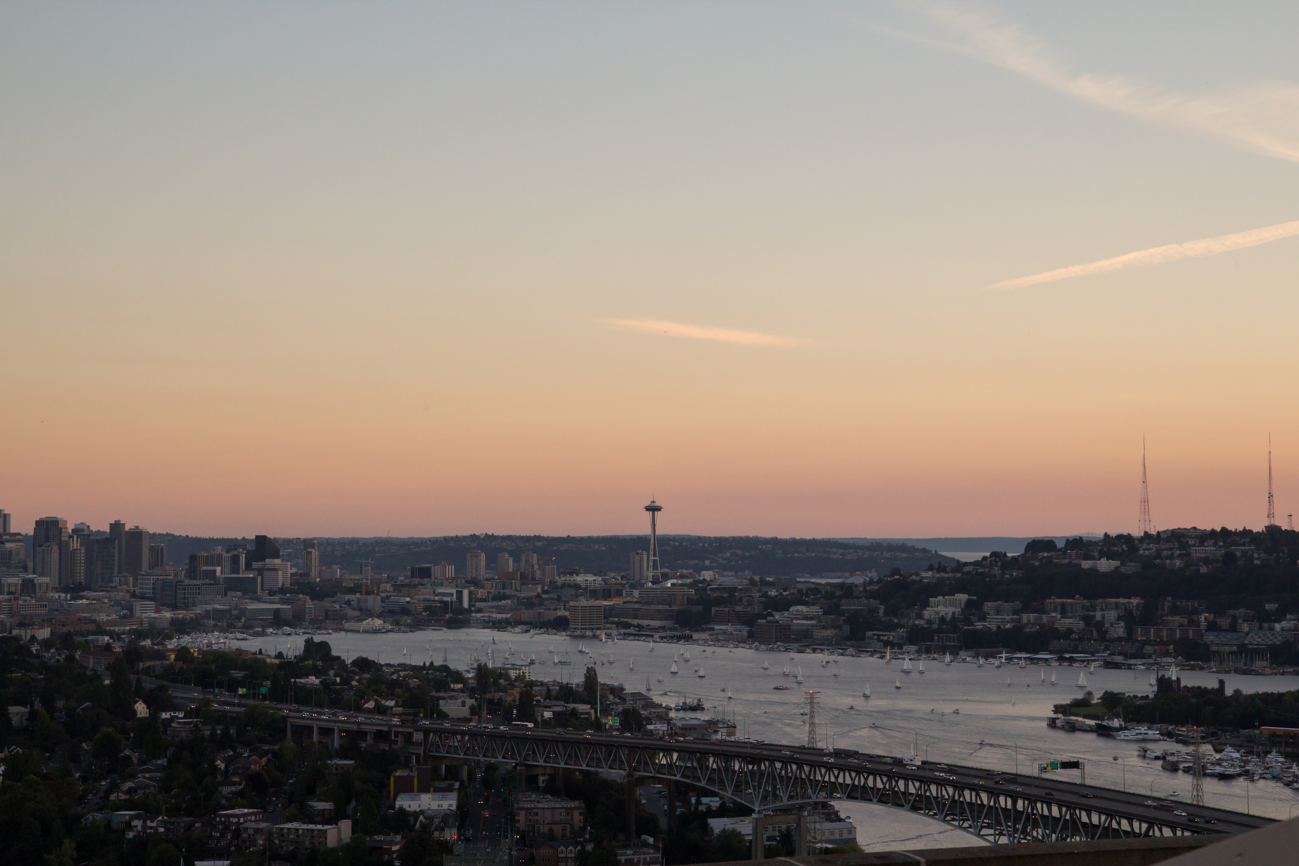
Lake Union Sunset
View of Downtown Seattle From Kerry Park, 04.14.13

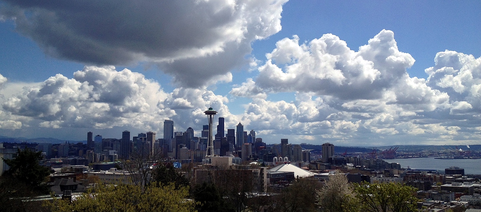
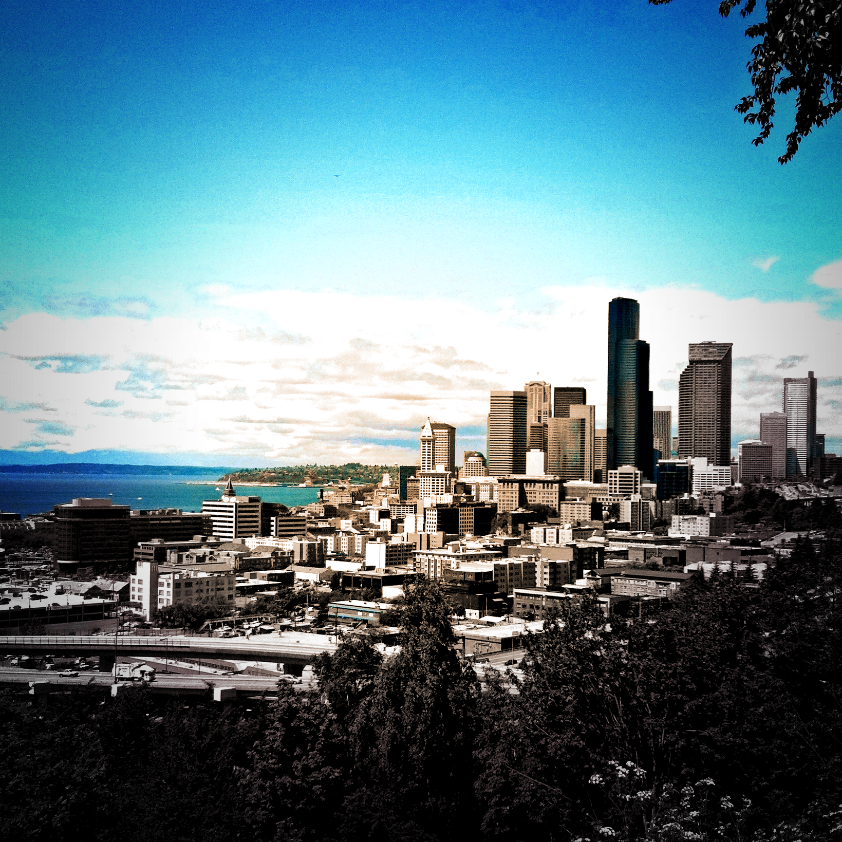
The Seattle Skyline
View from Kerry Park
View from the Space Needle

DSC_0654.jpg
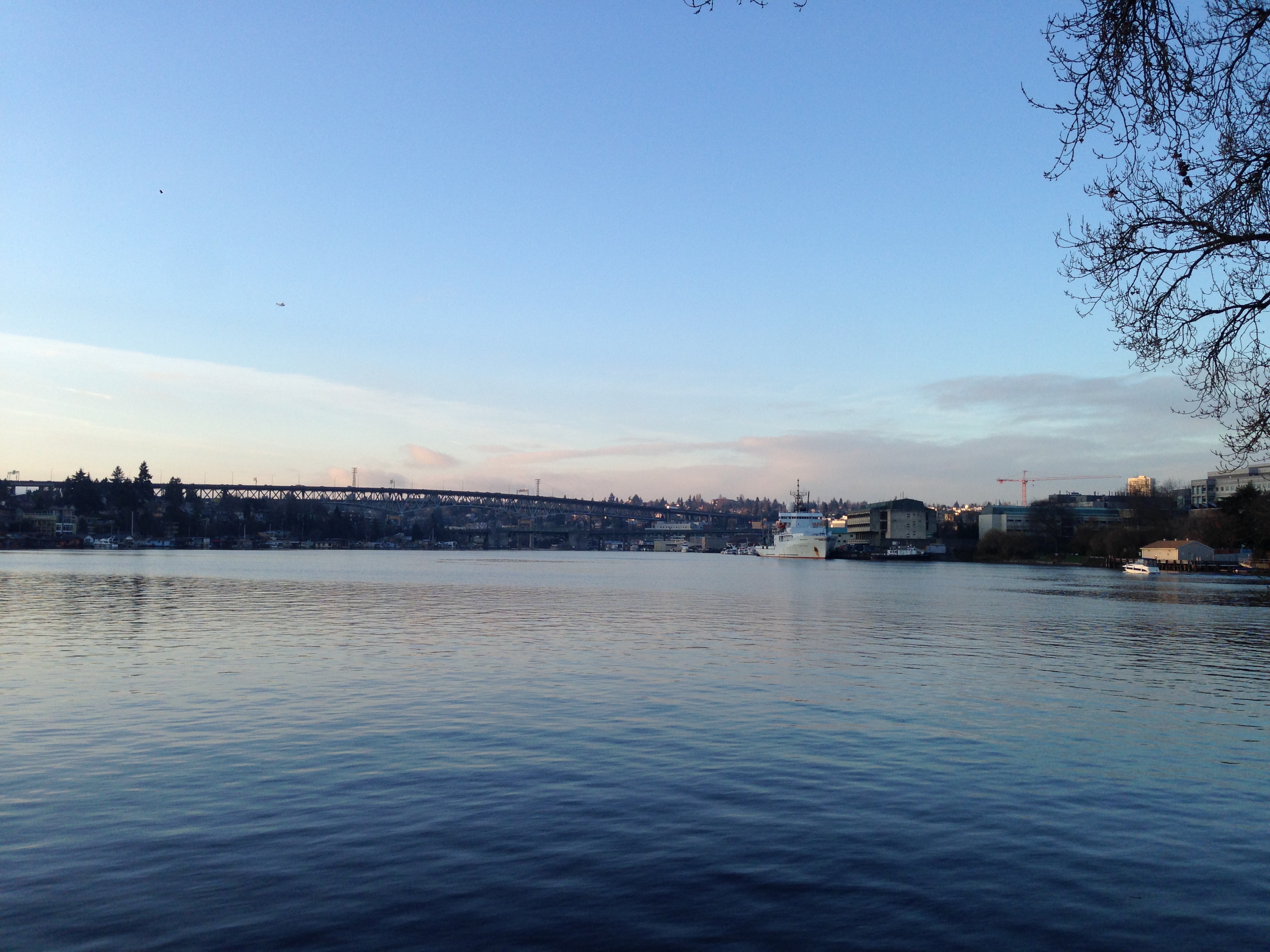
Portage Bay View
Rizal View
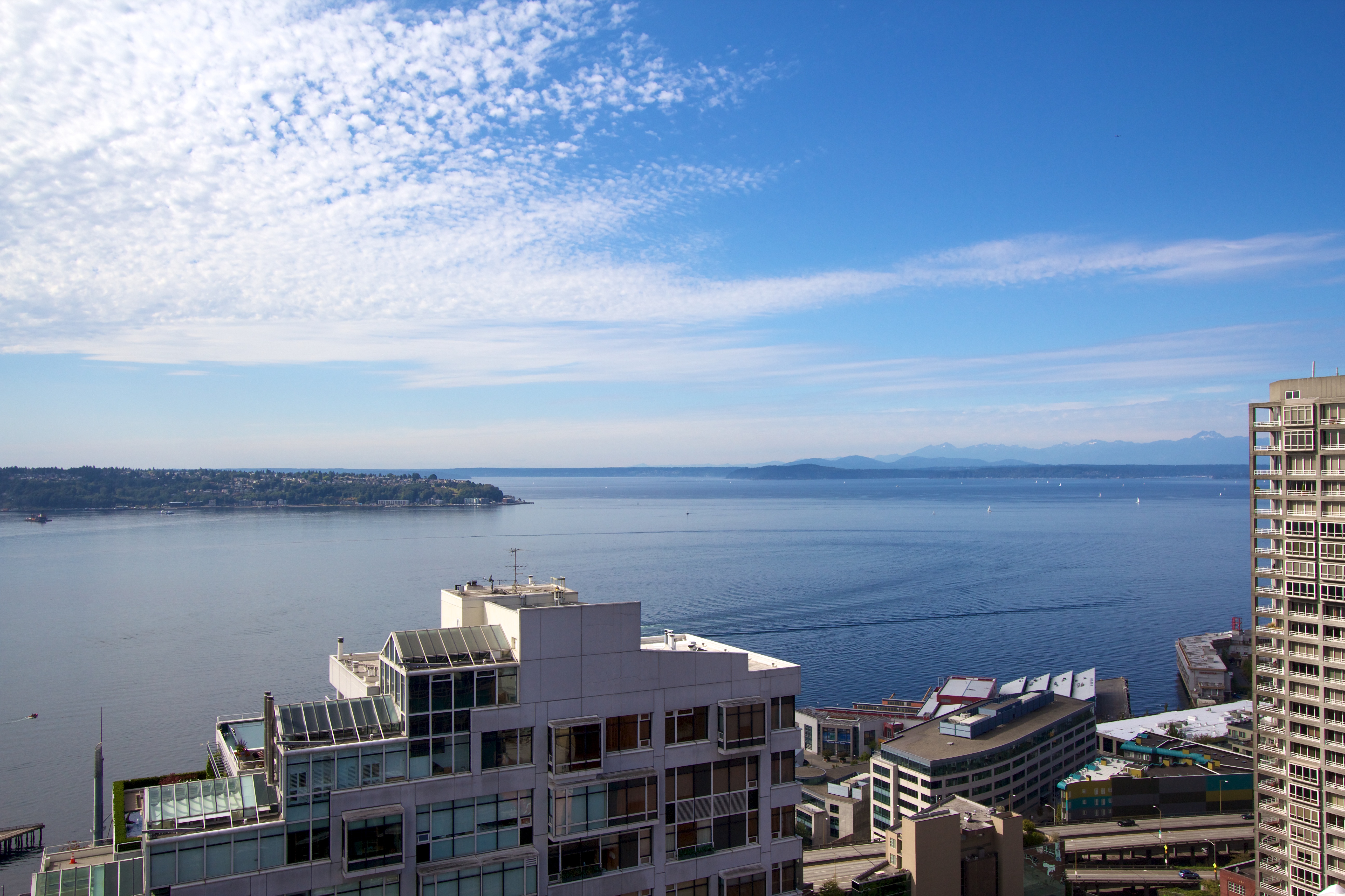
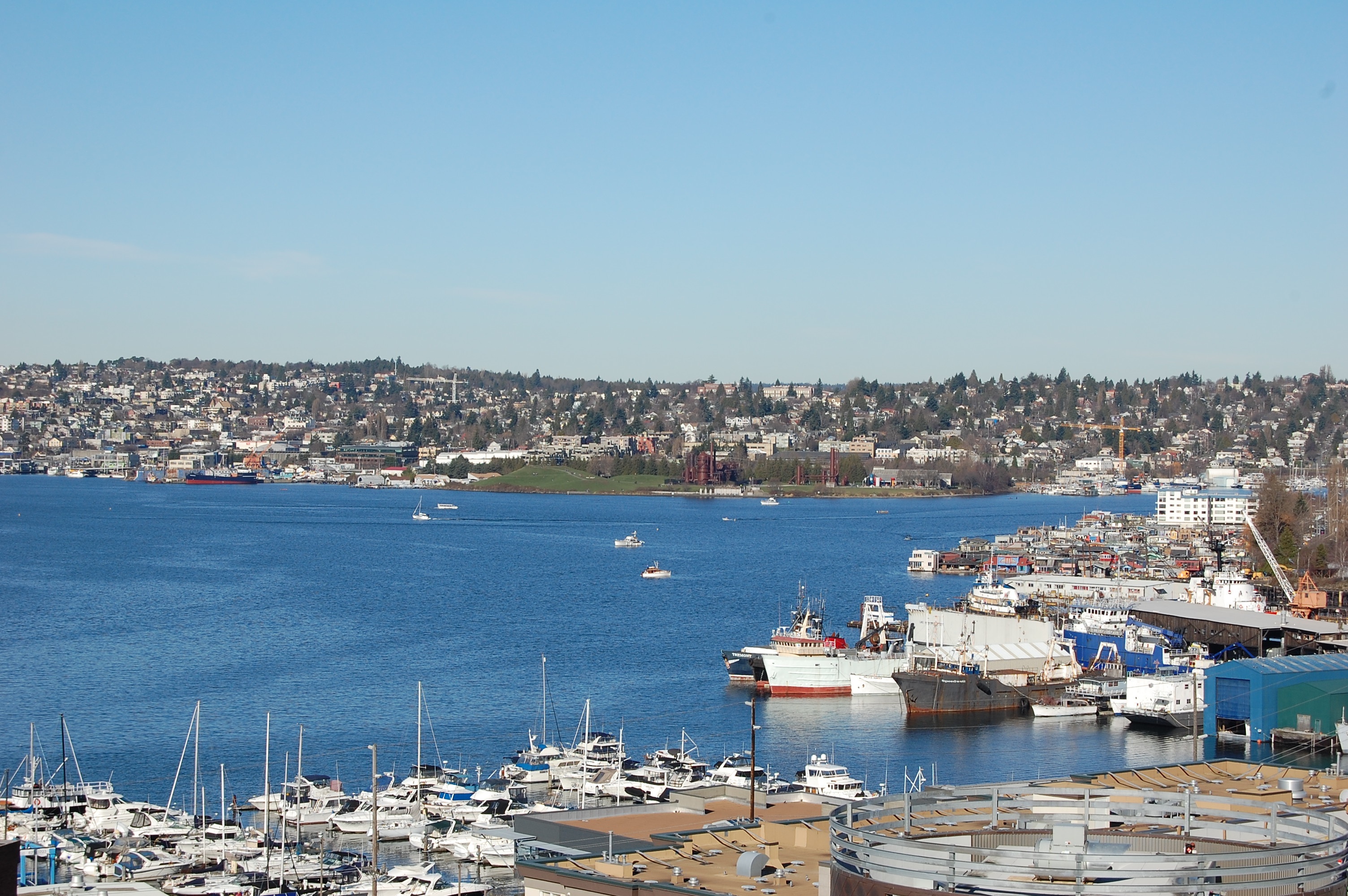
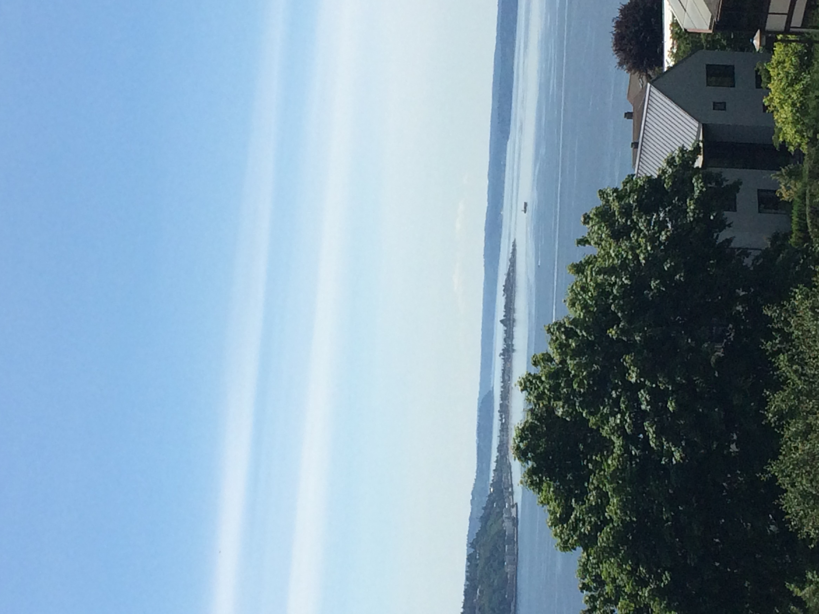
Puget Sound
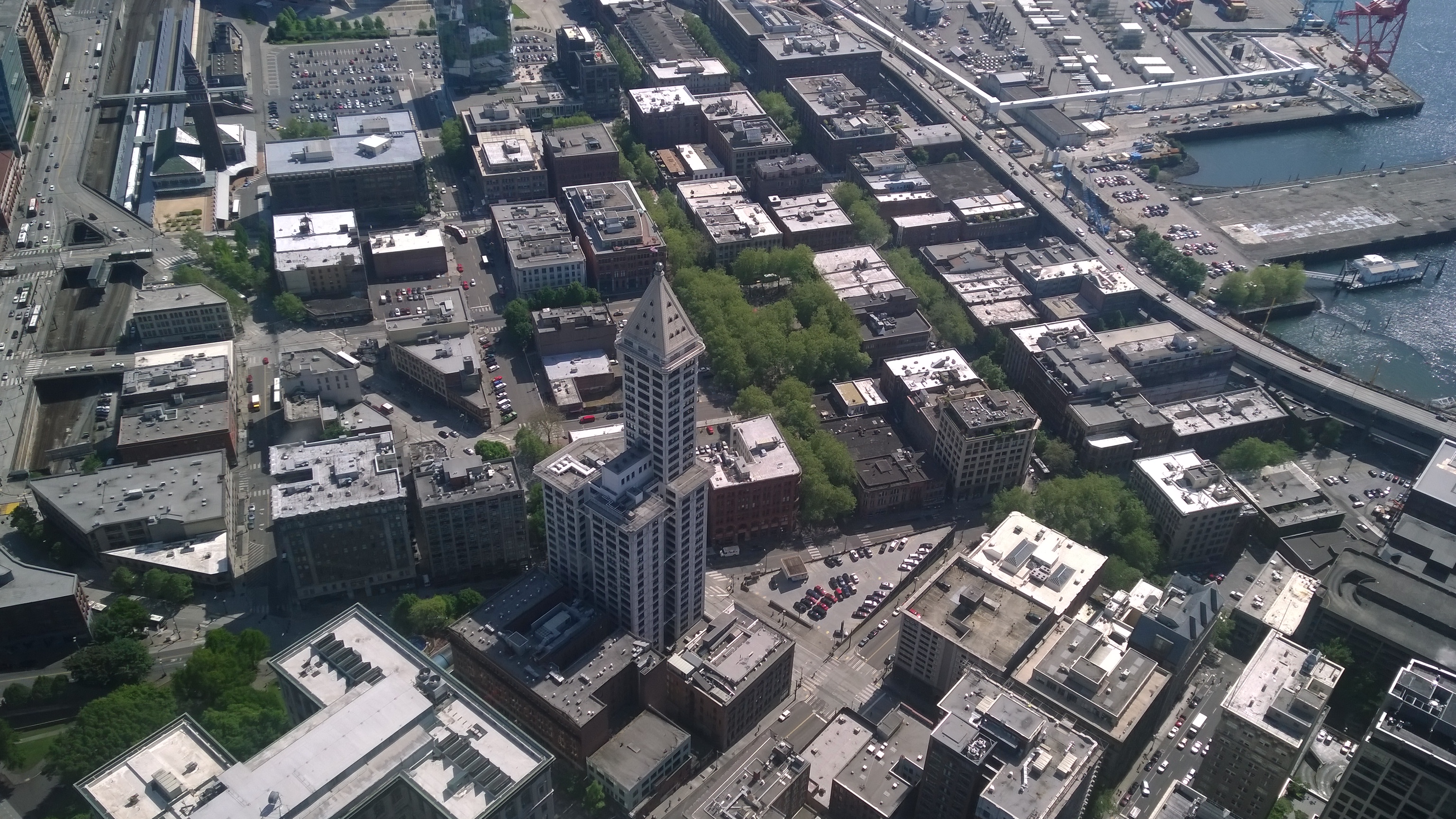
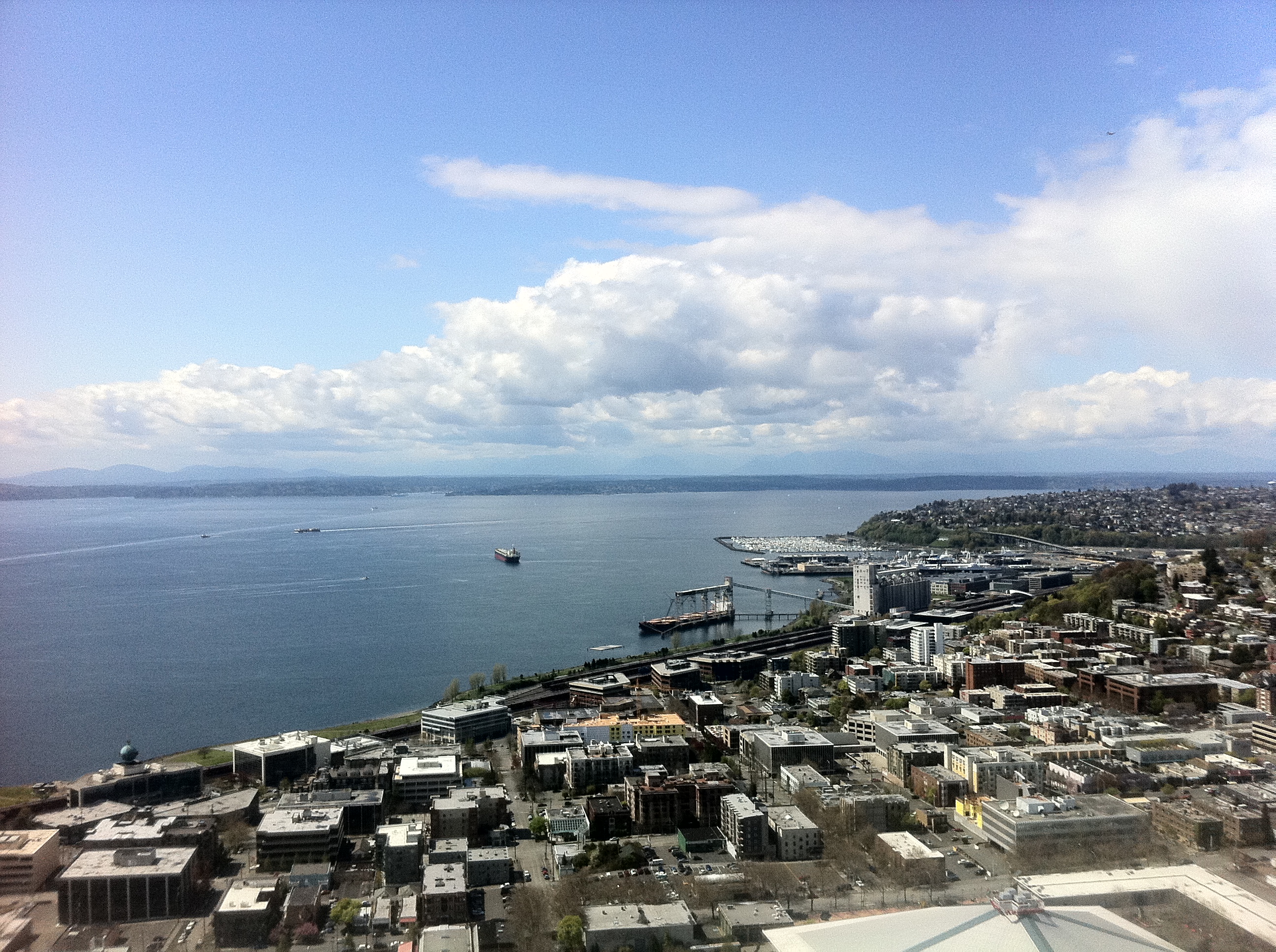
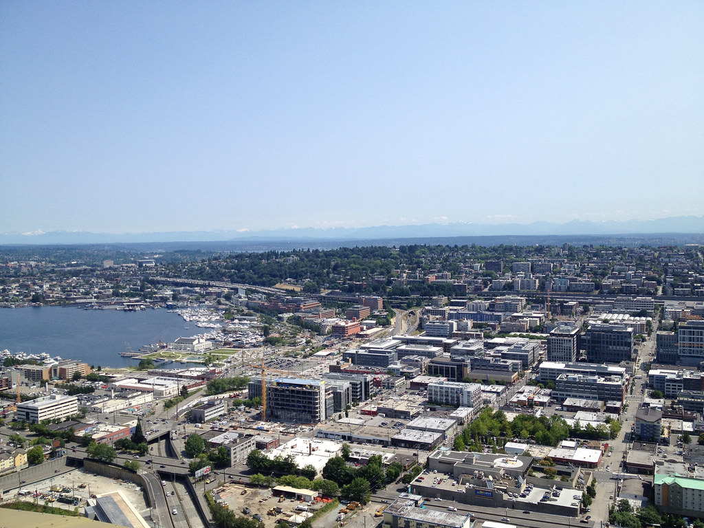
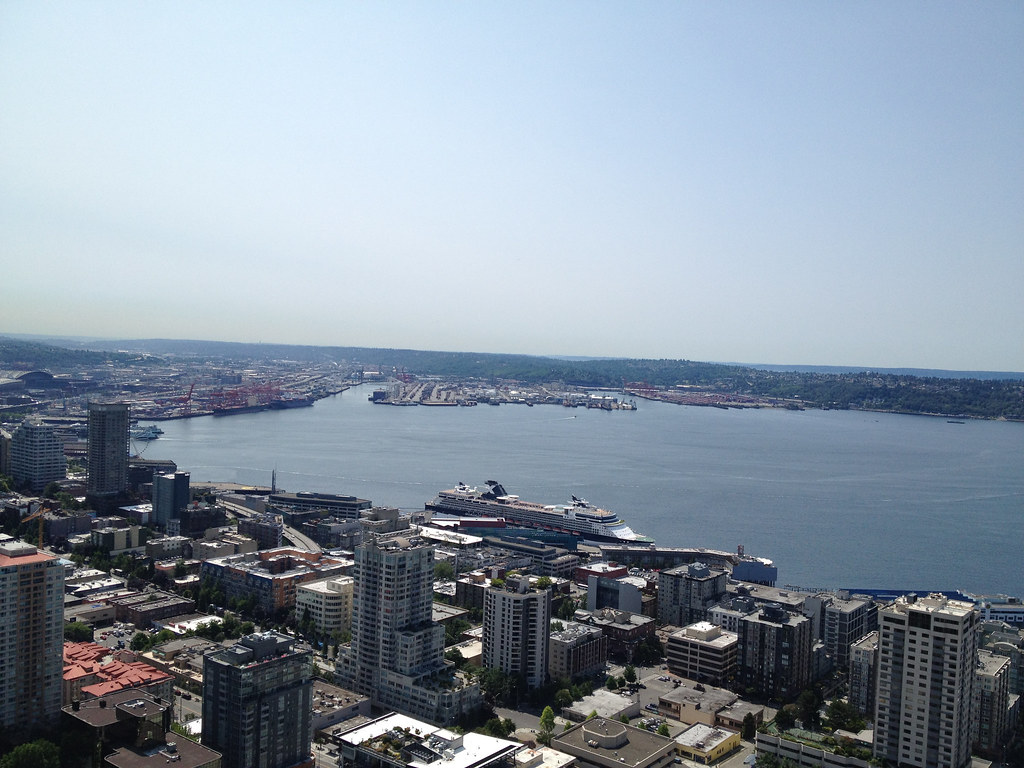
Seattle from the Columbia Tower

Seattle from the Columbia Tower
Seattle from the Columbia Tower
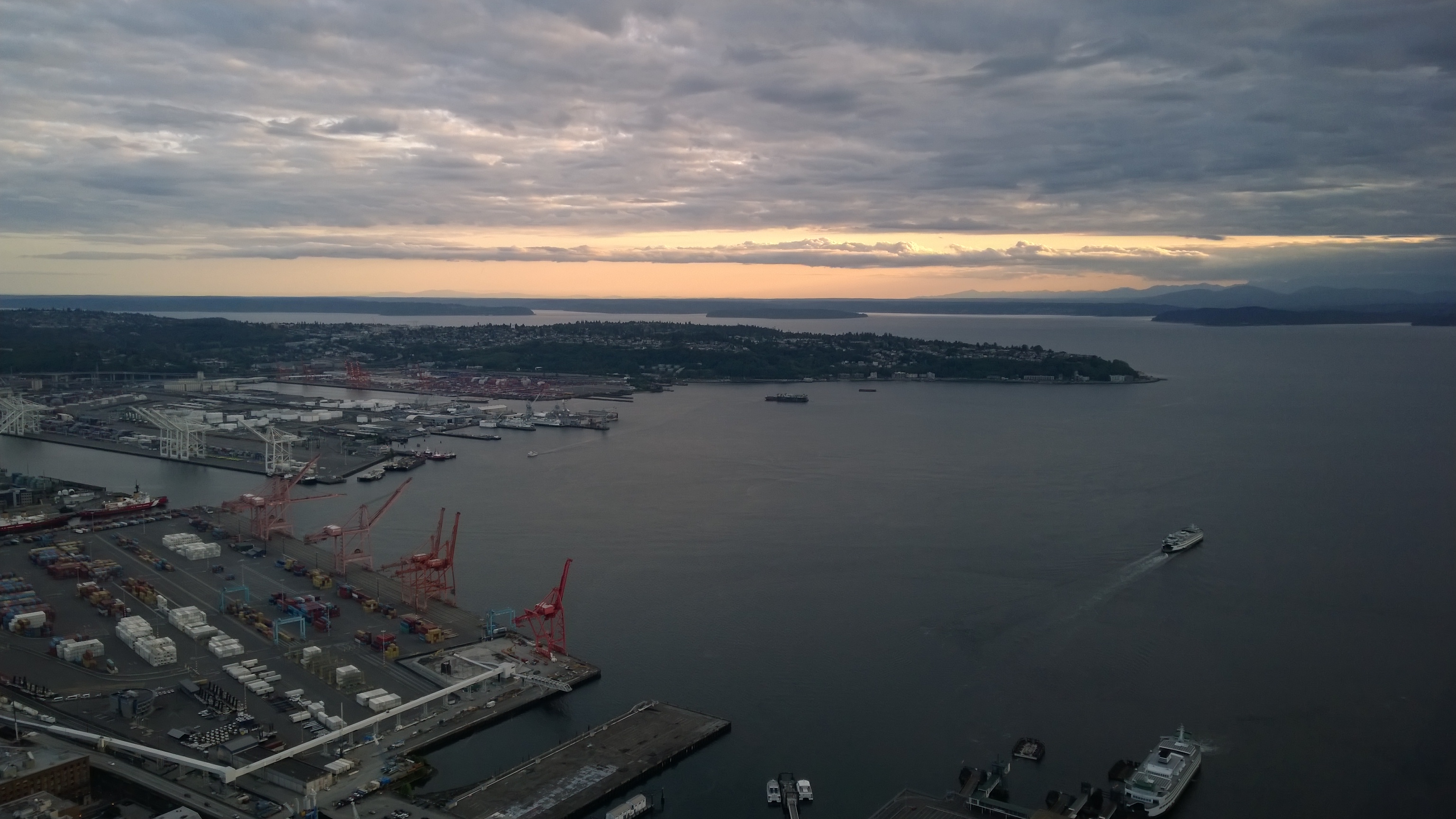
Visiting the Seattle Space Needle
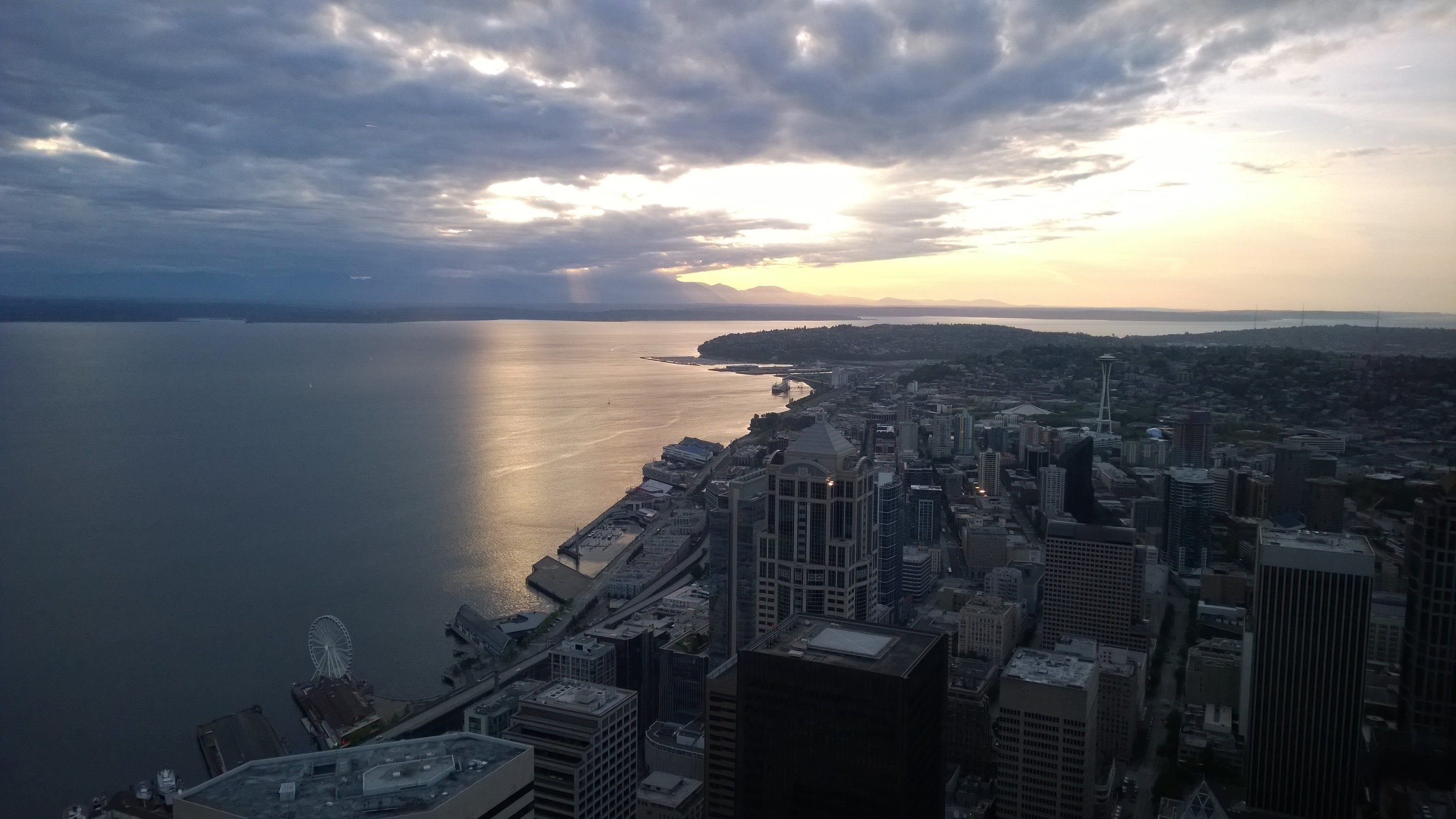
Seattle from the Columbia Tower
Visiting the Seattle Space Needle
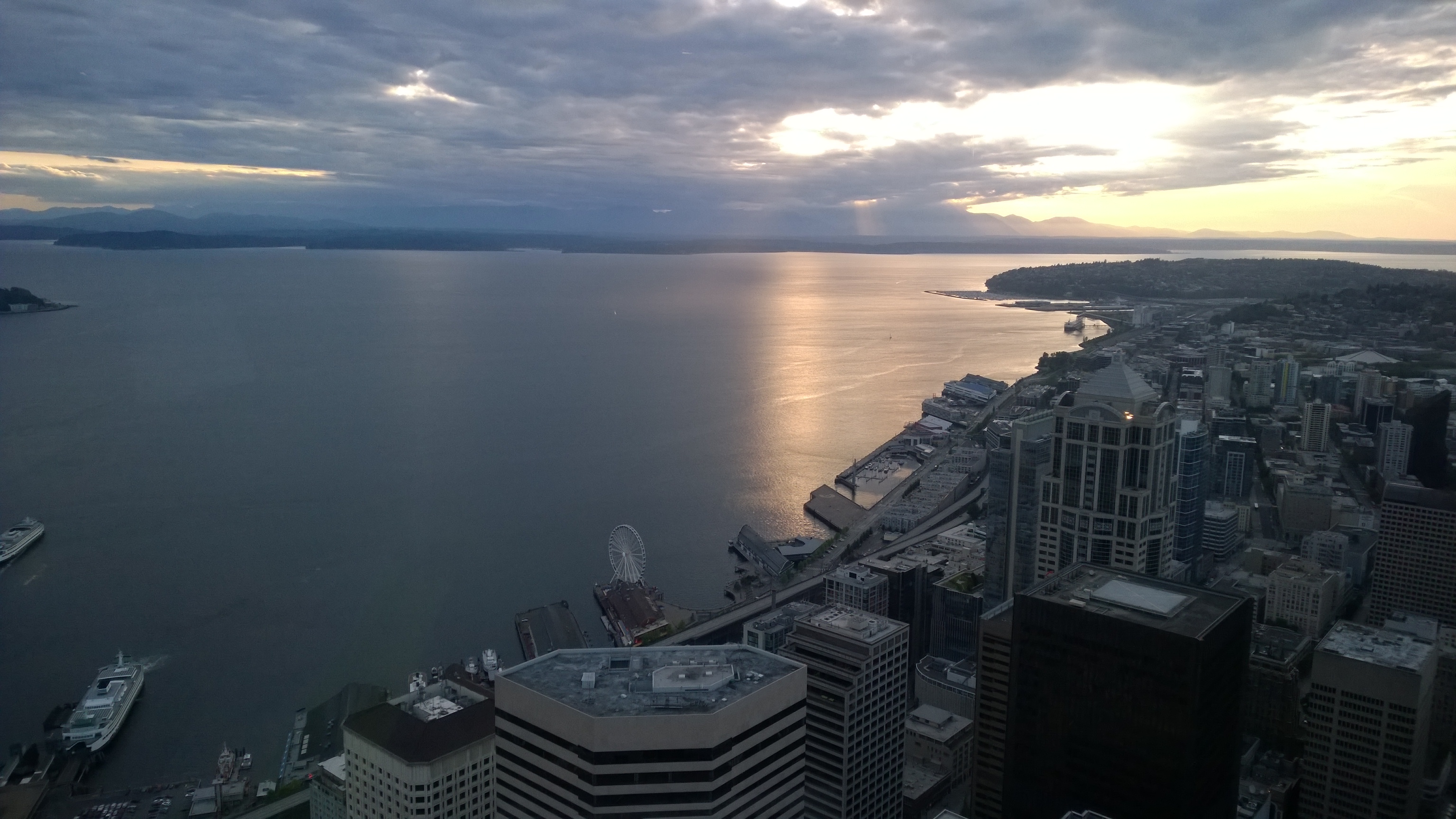
Seattle from the Columbia Tower
Topographic Map of Kirkland, WA, USA
Find elevation by address:

Places in Kirkland, WA, USA:
Kingsgate
South Juanita
North Juanita
Inglewood-finn Hill
North Rose Hill
South Rose Hill
Lakeview
Highlands
Norkirk
Everest
Central Houghton
Moss Bay
Market
Places near Kirkland, WA, USA:
1612 2nd St
1506 3rd St
Norkirk
1521 5th St
11005 Ne 100th Pl
11140 Ne 97th St
11002 Forbes Creek Dr
11413 Ne 90th St
South Juanita
10415 113th Pl Ne
Highlands
11227 Ne 109th Ln
11459 109th Ave Ne
14266 Ne 120th Pl
Northeast 123rd Street
12429 107th Pl Ne
11335 Ne 122nd Way
North Juanita
12804 109th Ave Ne
Juanita Elementary School
Recent Searches:
- Elevation of Corso Fratelli Cairoli, 35, Macerata MC, Italy
- Elevation of Tallevast Rd, Sarasota, FL, USA
- Elevation of 4th St E, Sonoma, CA, USA
- Elevation of Black Hollow Rd, Pennsdale, PA, USA
- Elevation of Oakland Ave, Williamsport, PA, USA
- Elevation of Pedrógão Grande, Portugal
- Elevation of Klee Dr, Martinsburg, WV, USA
- Elevation of Via Roma, Pieranica CR, Italy
- Elevation of Tavkvetili Mountain, Georgia
- Elevation of Hartfords Bluff Cir, Mt Pleasant, SC, USA