Elevation of Kirketorvet 1, Vejle, Denmark
Location: Denmark > Vejle Municipality > Vejle >
Longitude: 9.5342749
Latitude: 55.707432
Elevation: 8m / 26feet
Barometric Pressure: 101KPa
Elevation Map:
Satellite Map:
Related Photos:
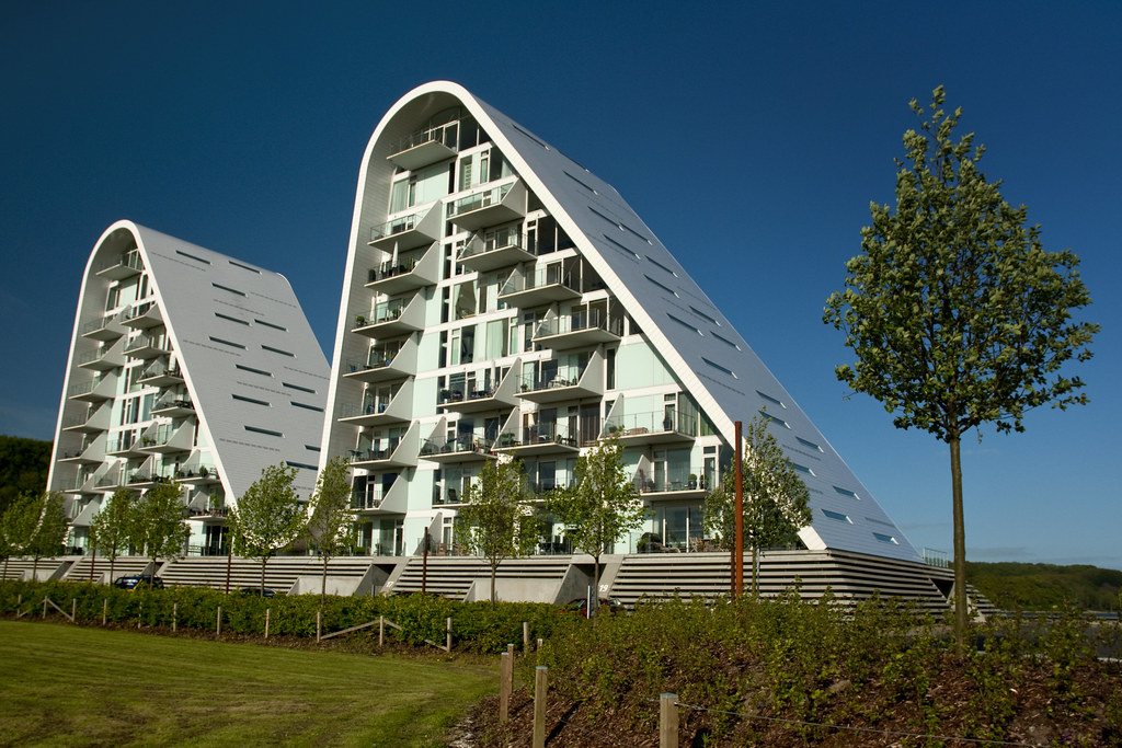
Denmark - Jutland - Vejle - The Wave 01_DSC6960
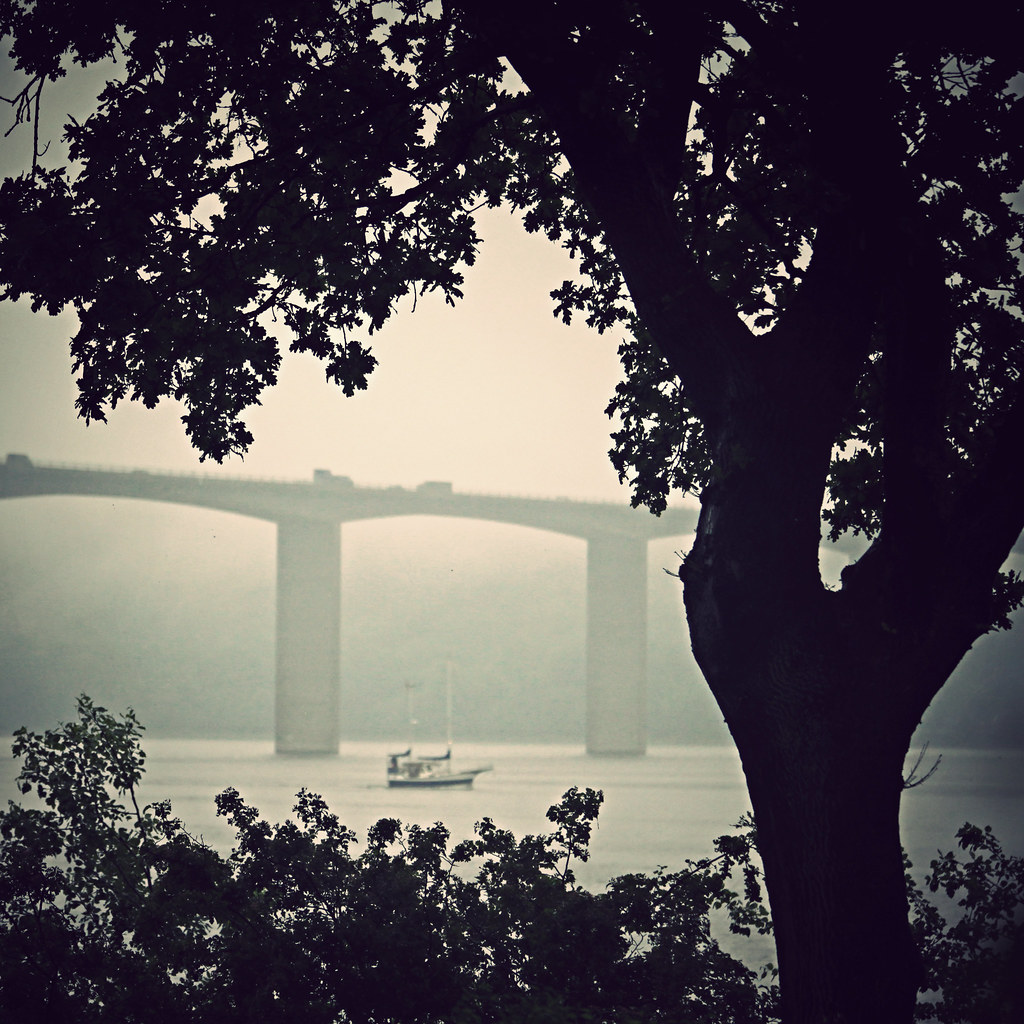
Another Rainy Day

EGTVED ÅDAL - EGTVED VALLEY - 2 SWANS.
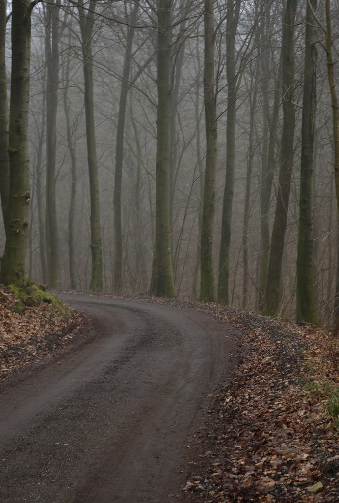
Heading into the beech forest
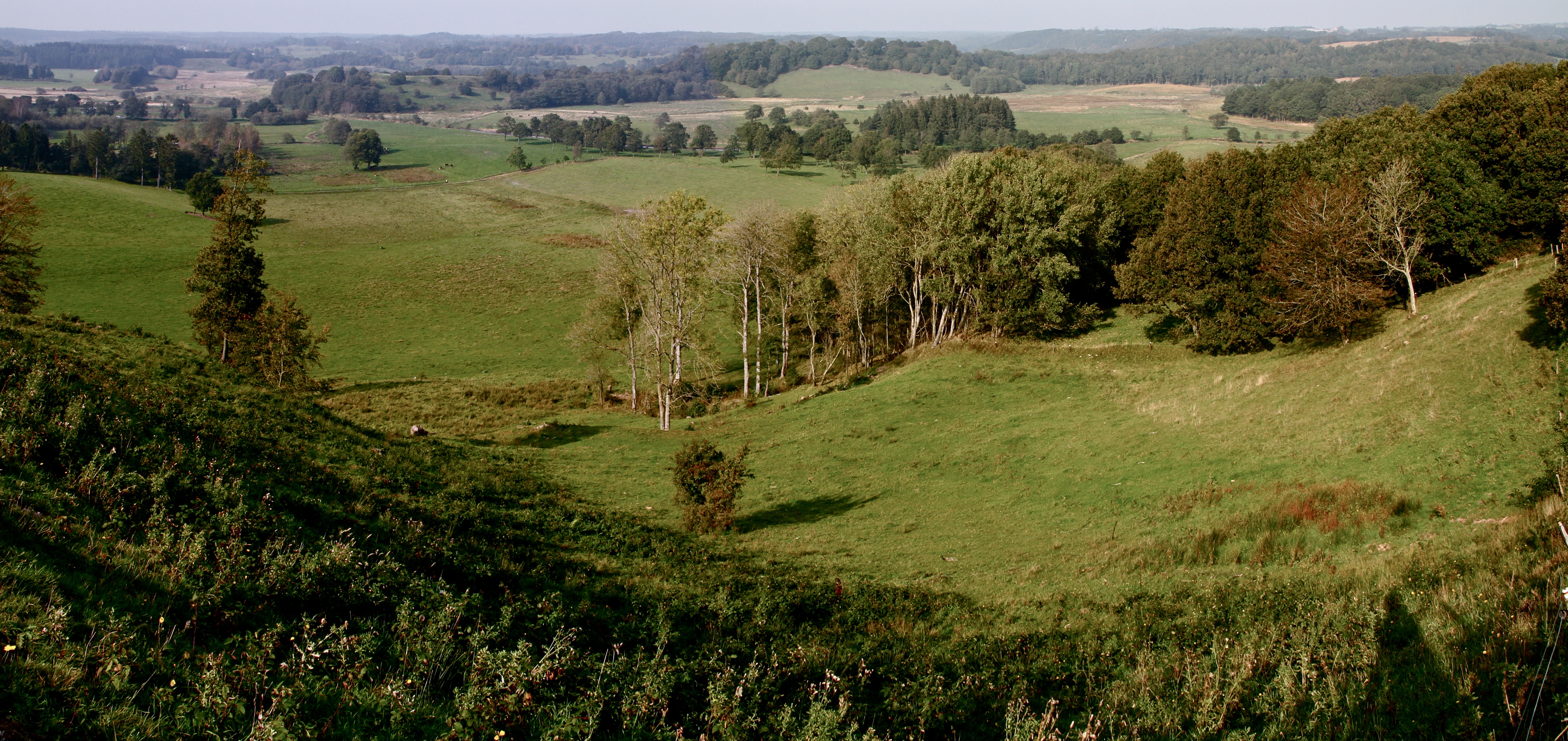
PANORAMA - EGTVED ÅDAL - EGTVED VALLEY.
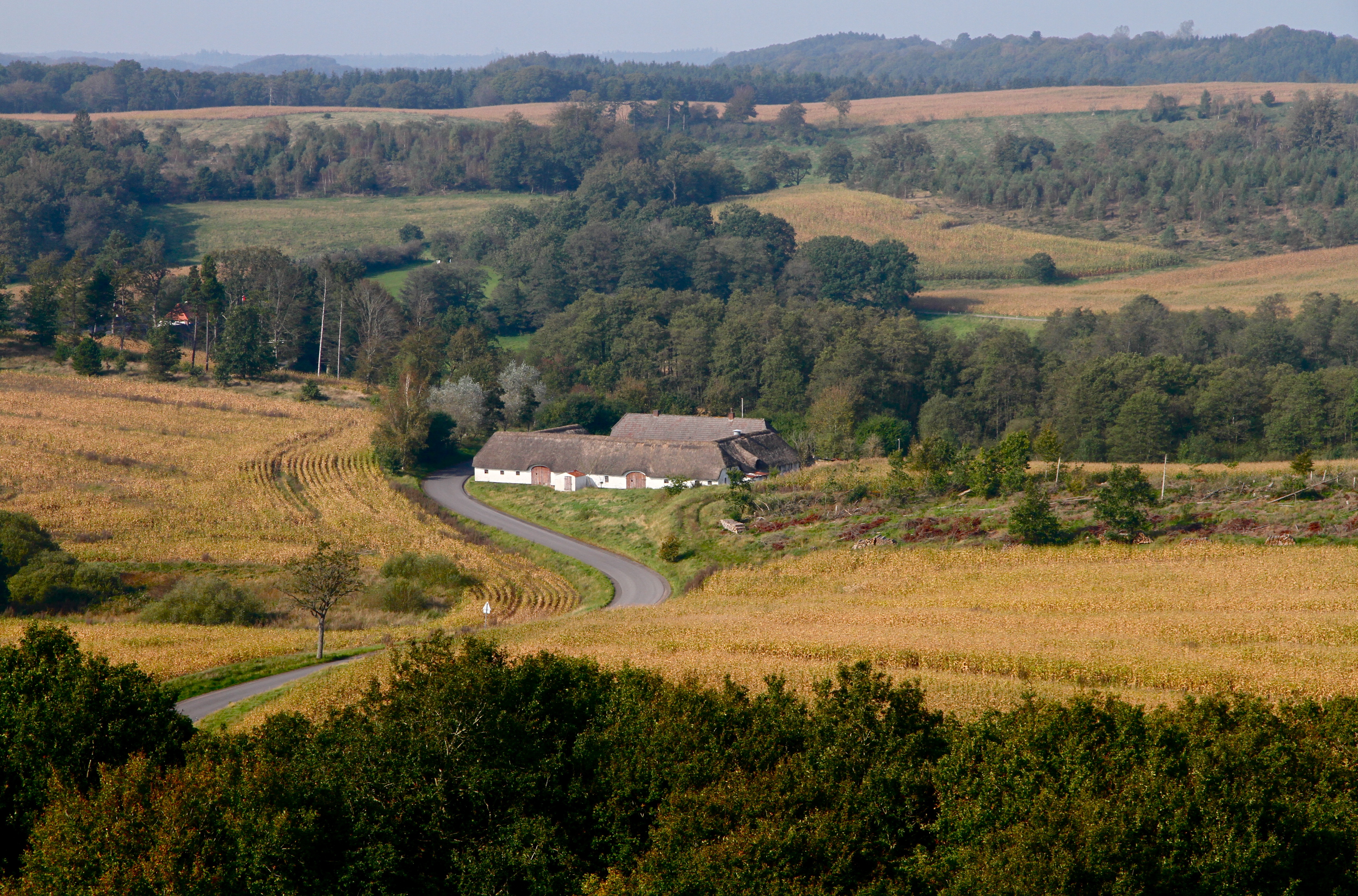
EGTVED ÅDAL - EGTVED VALLEY.

EGTVED ÅDAL - EGTVED VALLEY.
Topographic Map of Kirketorvet 1, Vejle, Denmark
Find elevation by address:

Places near Kirketorvet 1, Vejle, Denmark:
Vejle
Boelskilde 43
Vejle Municipality
Kokbjerg 29b
Fredericia Municipality
Østergade 23b
Taulov
Fynsvej
Skovvangen 42
Skovparken 18
Givskud
Kolding
Koldning Hypnoseklinik V/peter Olesen Sivebæk
Egeskov
Egtved
Fredericia
Kolding Municipality
Øskovvej
Øskovvej
Vestergårdsvej 76
Recent Searches:
- Elevation of Corso Fratelli Cairoli, 35, Macerata MC, Italy
- Elevation of Tallevast Rd, Sarasota, FL, USA
- Elevation of 4th St E, Sonoma, CA, USA
- Elevation of Black Hollow Rd, Pennsdale, PA, USA
- Elevation of Oakland Ave, Williamsport, PA, USA
- Elevation of Pedrógão Grande, Portugal
- Elevation of Klee Dr, Martinsburg, WV, USA
- Elevation of Via Roma, Pieranica CR, Italy
- Elevation of Tavkvetili Mountain, Georgia
- Elevation of Hartfords Bluff Cir, Mt Pleasant, SC, USA