Elevation of Kirène, Senegal
Location: Senegal > Thiès Region > Mbour >
Longitude: -17.042297
Latitude: 14.668564
Elevation: 38m / 125feet
Barometric Pressure: 101KPa
Elevation Map:
Satellite Map:
Related Photos:
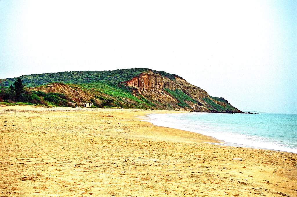
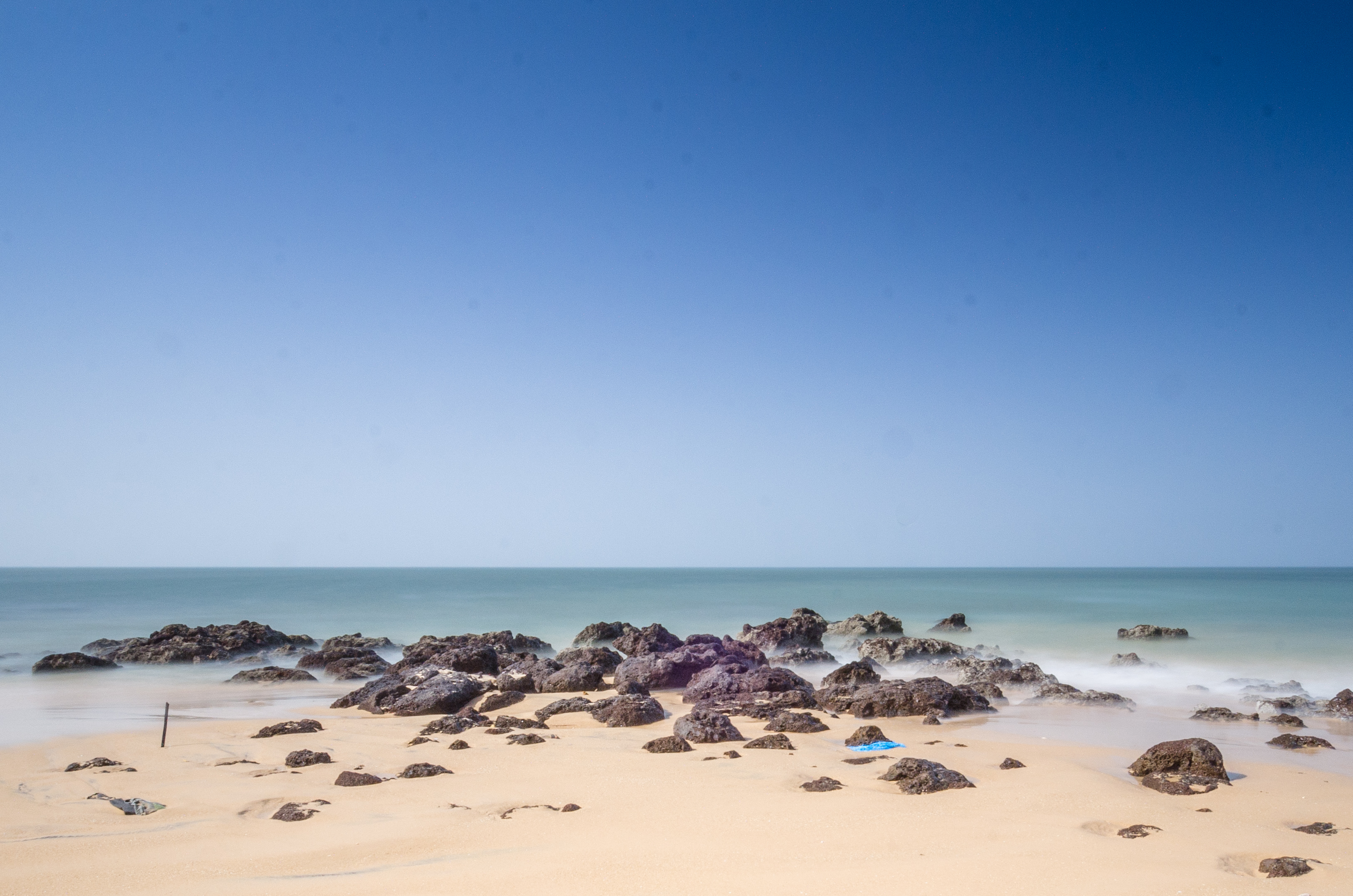
Headland, Popenguine Beach
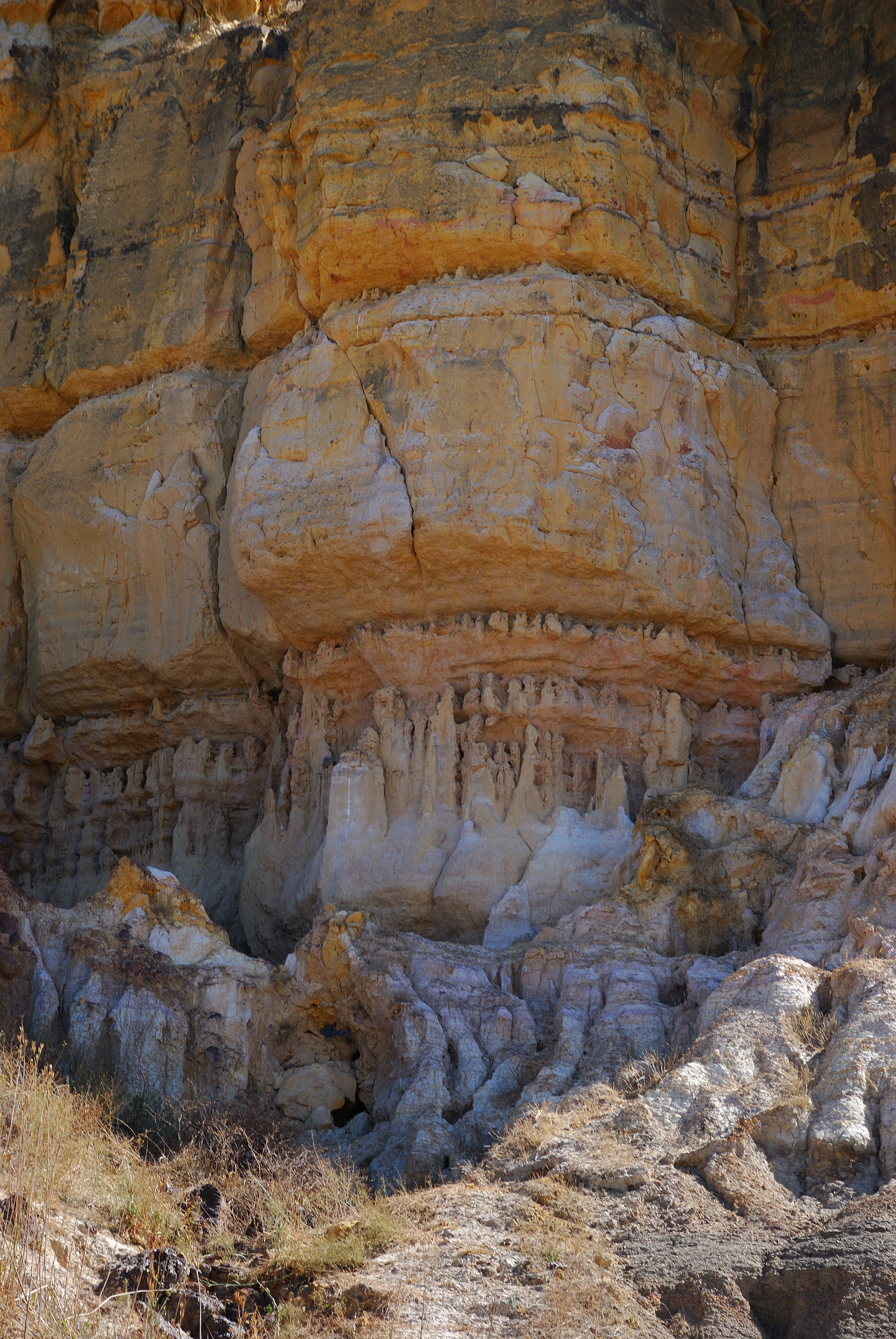
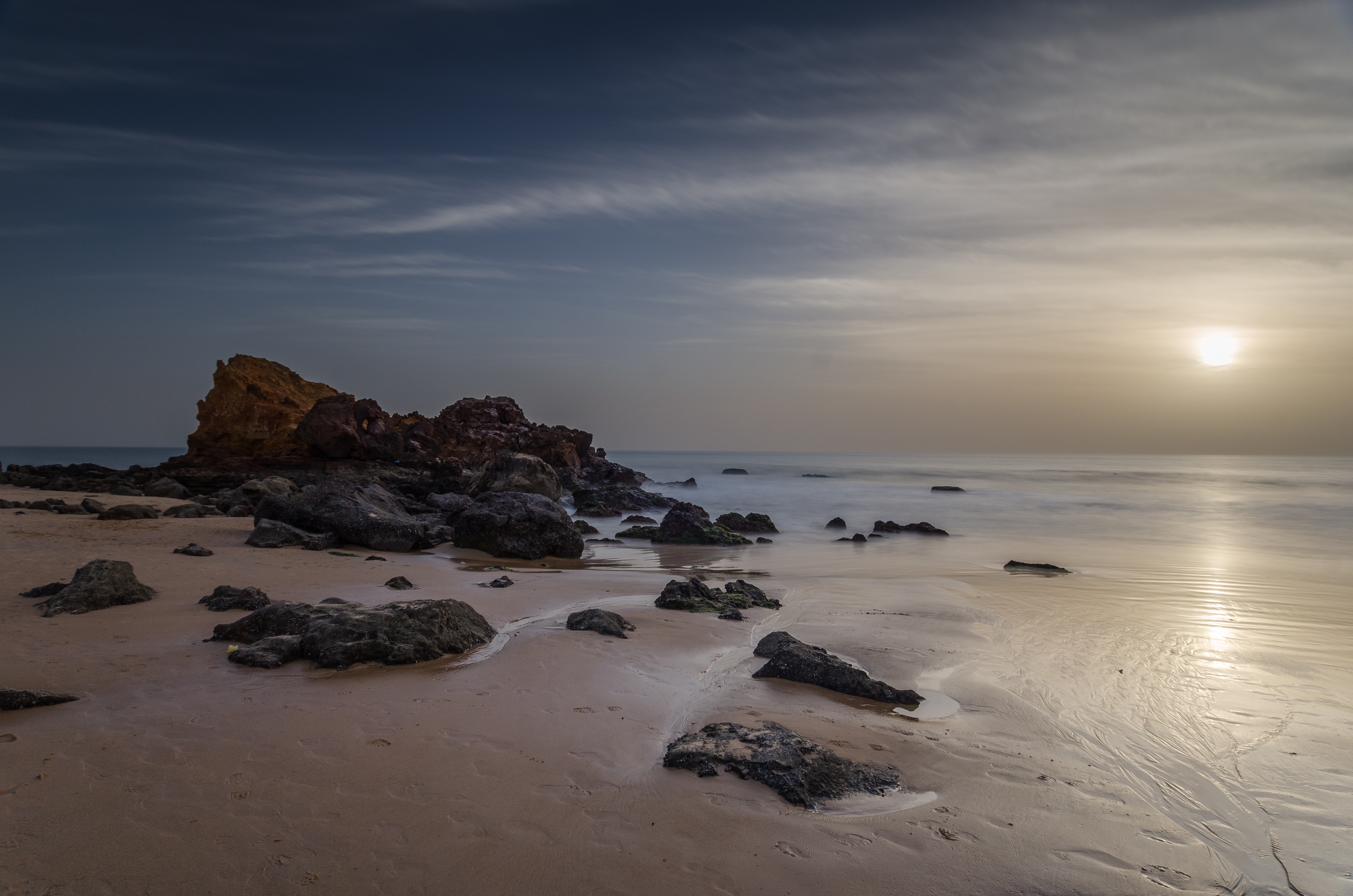
Falaise de Popenguine

Sénégal 2014
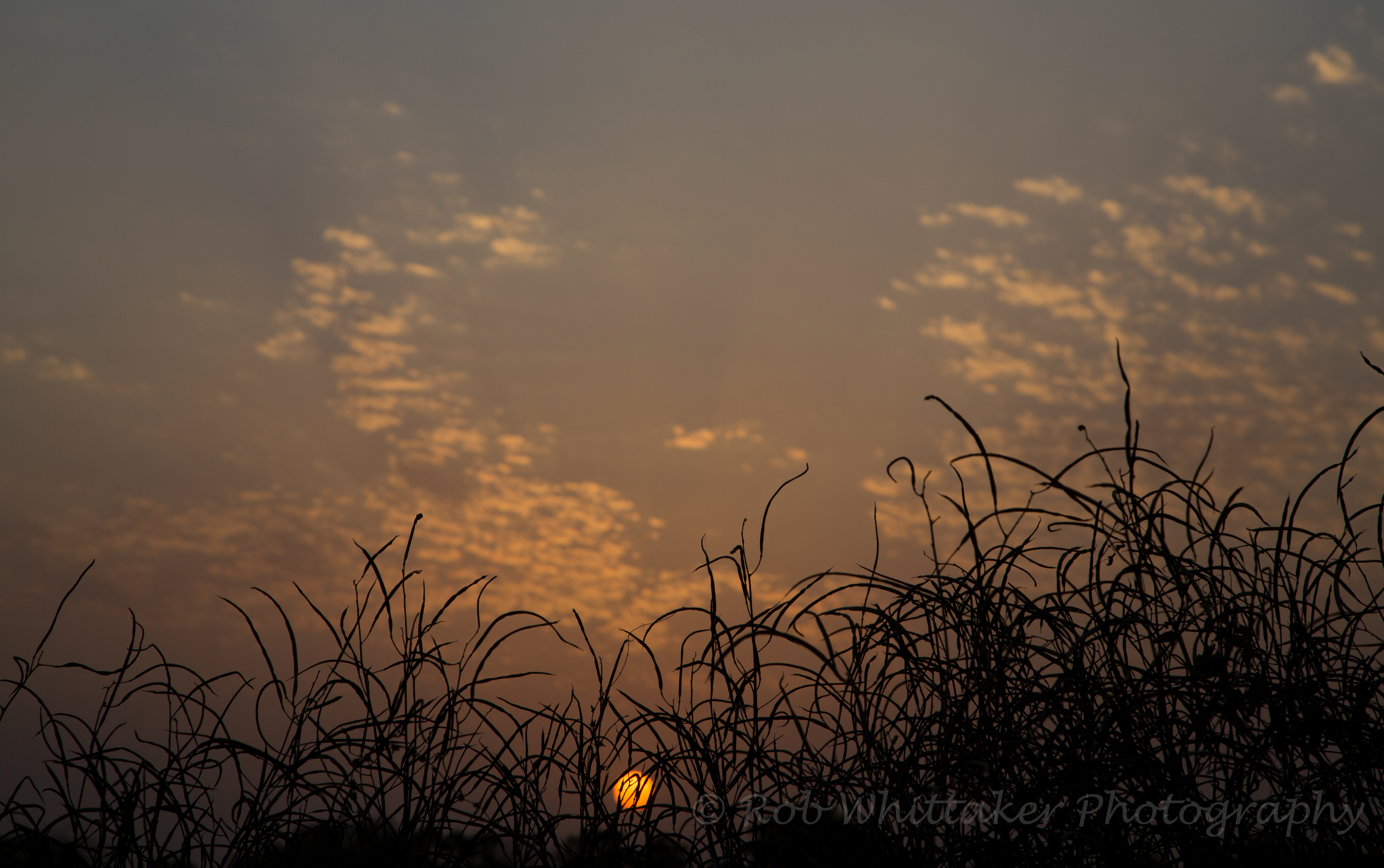
Sunset Senegal

Phacochère

Toubad Dialaw, Senegal
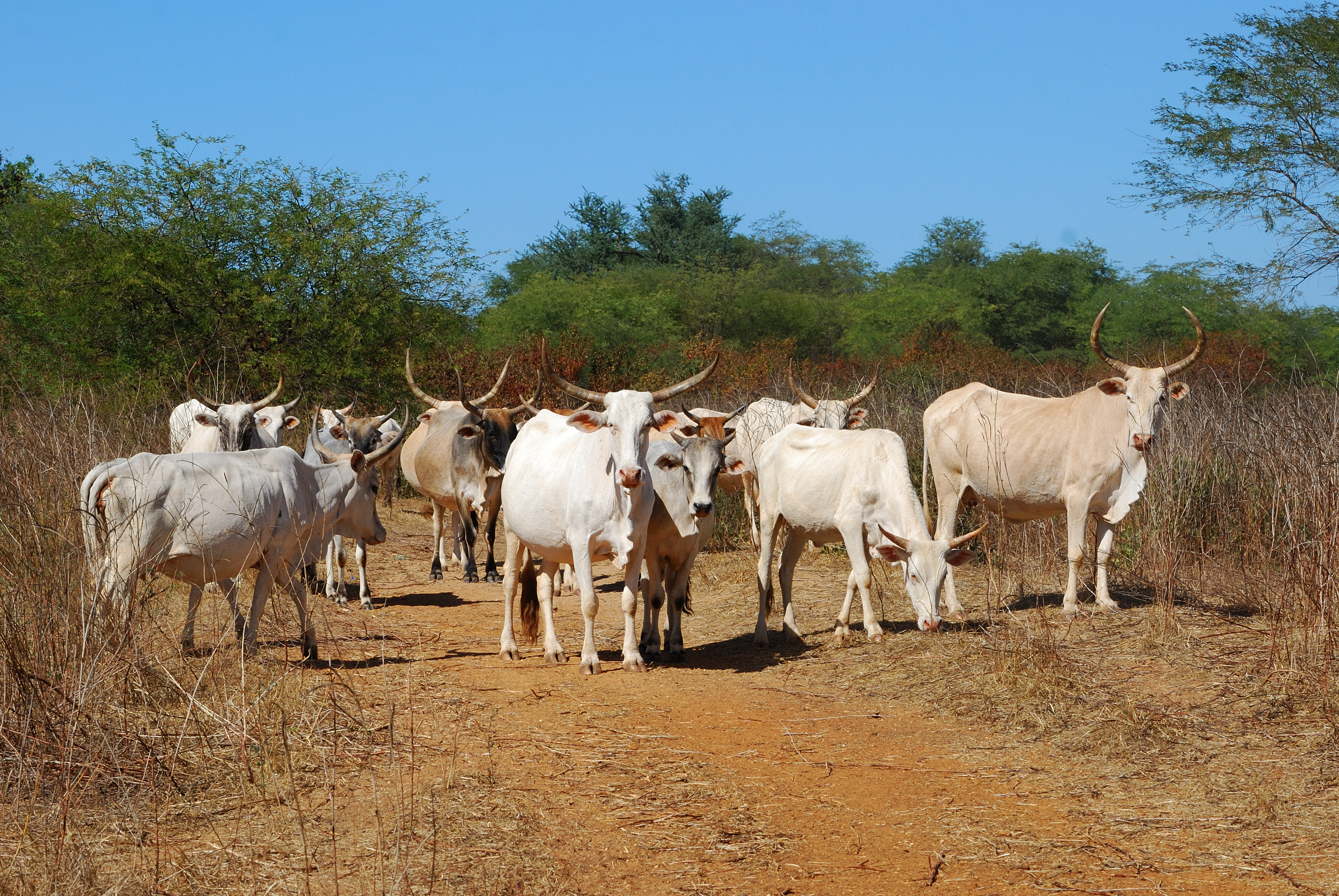
Troupeau de vaches peul
Sénégal-4965
Sénégal-3558
Sénégal-3555

Day203-Home-130525

Abyssinian Roller in Réserve de Bandia - Sénégal

Toubad Dialaw, Senegal
Toubad Dialaw, Senegal

Toubad Dialaw, Senegal

_J4K2589-Edit.jpg

2013-06-08 18.13.34

_J3K5542.jpg

_J4K2656.jpg

_J3K5511.jpg
2013-06-08 18.15.42
Topographic Map of Kirène, Senegal
Find elevation by address:

Places near Kirène, Senegal:
Thies
Dakar Region
Guediawaye
Taiba Ndiaye
Dakar
Villa Mermoz
Ouakam
Aéroport Militaire Léopold Sédar Senghor
African Renaissance Monument Darkar Senegal
Recent Searches:
- Elevation of Corso Fratelli Cairoli, 35, Macerata MC, Italy
- Elevation of Tallevast Rd, Sarasota, FL, USA
- Elevation of 4th St E, Sonoma, CA, USA
- Elevation of Black Hollow Rd, Pennsdale, PA, USA
- Elevation of Oakland Ave, Williamsport, PA, USA
- Elevation of Pedrógão Grande, Portugal
- Elevation of Klee Dr, Martinsburg, WV, USA
- Elevation of Via Roma, Pieranica CR, Italy
- Elevation of Tavkvetili Mountain, Georgia
- Elevation of Hartfords Bluff Cir, Mt Pleasant, SC, USA