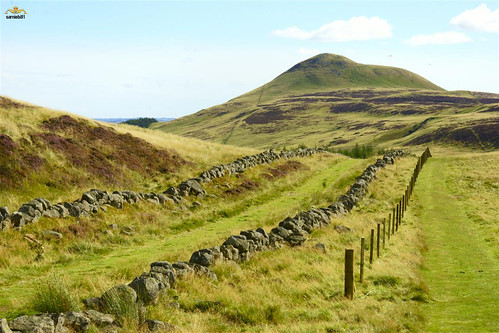
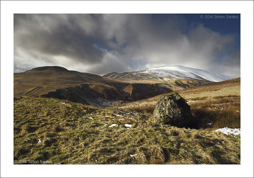
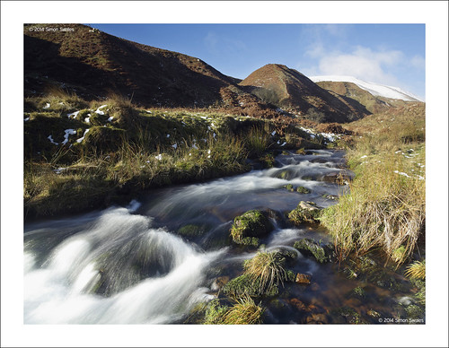
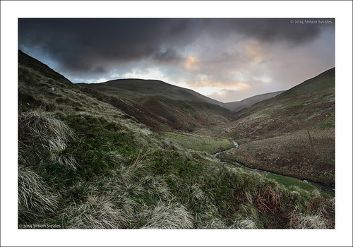
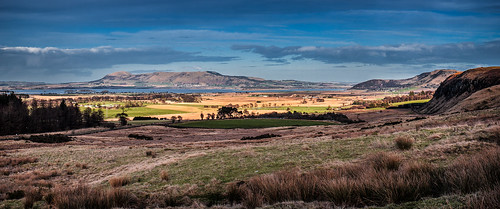
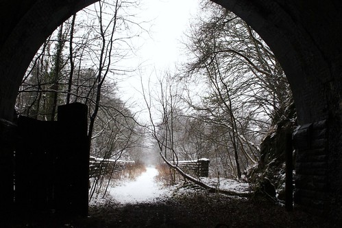
Elevation of Kinross KY13, UK
Location: United Kingdom > Perth And Kinross >
Longitude: -3.4757011
Latitude: 56.221849
Elevation: 133m / 436feet
Barometric Pressure: 100KPa
Related Photos:
Topographic Map of Kinross KY13, UK
Find elevation by address:

Places near Kinross KY13, UK:
Ky13 8yr
Milnathort
Kinross
6 Parliament Square, Kinross KY13 8AL, UK
Ky13 8fb
1 Balfour Cres
22 Main St, Kelty KY4 0AA, UK
Kelty
Ky12 0xr
Gowanbrae Drive
Cowdenbeath
Ky4 8nb
80 Bank St, Lochgelly KY5 9QN, UK
Lochgelly
Ky6 3jl
Kinglassie
1 Strathenry Ave, Leslie, Glenrothes KY6 3HU, UK
Easter Glasslie Farm Cottage
Ky6 3jz
Leslie
Recent Searches:
- Elevation of Corso Fratelli Cairoli, 35, Macerata MC, Italy
- Elevation of Tallevast Rd, Sarasota, FL, USA
- Elevation of 4th St E, Sonoma, CA, USA
- Elevation of Black Hollow Rd, Pennsdale, PA, USA
- Elevation of Oakland Ave, Williamsport, PA, USA
- Elevation of Pedrógão Grande, Portugal
- Elevation of Klee Dr, Martinsburg, WV, USA
- Elevation of Via Roma, Pieranica CR, Italy
- Elevation of Tavkvetili Mountain, Georgia
- Elevation of Hartfords Bluff Cir, Mt Pleasant, SC, USA
