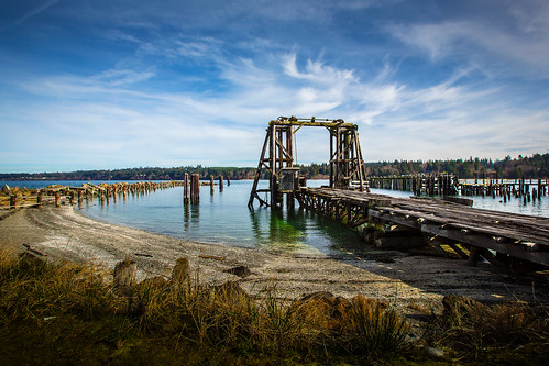
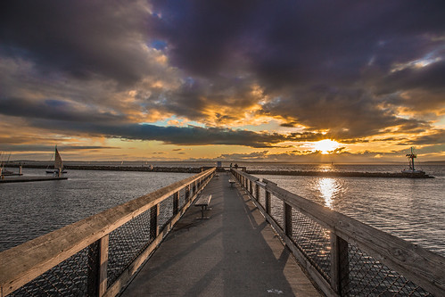
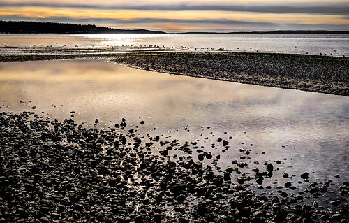
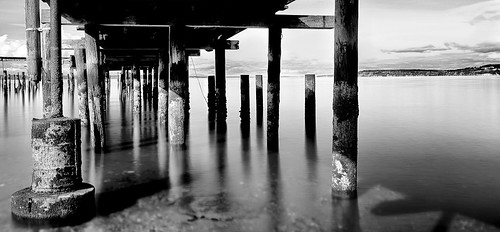
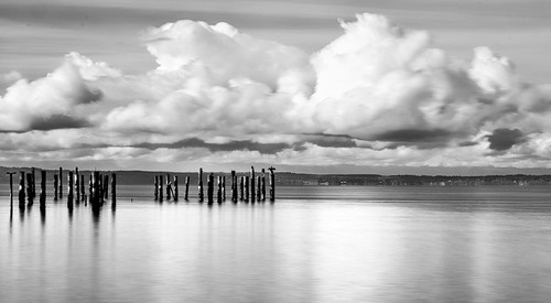
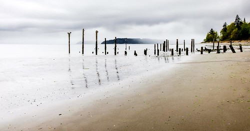
Elevation of Kingston - Ferry Terminal, Kingston, WA, USA
Location: United States > Washington > Kitsap County > Kingston >
Longitude: -122.49622
Latitude: 47.796076
Elevation: 6m / 20feet
Barometric Pressure: 101KPa
Related Photos:
Topographic Map of Kingston - Ferry Terminal, Kingston, WA, USA
Find elevation by address:

Places near Kingston - Ferry Terminal, Kingston, WA, USA:
Kingston
NE Maine St, Kingston, WA, USA
36331 Illinois Ave Ne
Oregon Street Salon Llc
26331 Illinois Ave Ne
26159 Dulay Rd Ne
26423 Kingsview Loop Ne
Billy Johnson Skate Park
26800 Washington Blvd Ne
24480 Jefferson Pl Ne
11240 Ne 272nd St
24025 Newellhurst Cir Ne
24025 Newellhurst Cir Ne
27481 Lindvog Rd Ne
22731 Seatter Rd Ne
Albertsons
8100 Ne Seawind Ave
Indianola
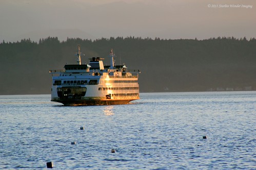
Edmonds - Kingston Ferry
21346 Indianola Rd Ne
Recent Searches:
- Elevation of Corso Fratelli Cairoli, 35, Macerata MC, Italy
- Elevation of Tallevast Rd, Sarasota, FL, USA
- Elevation of 4th St E, Sonoma, CA, USA
- Elevation of Black Hollow Rd, Pennsdale, PA, USA
- Elevation of Oakland Ave, Williamsport, PA, USA
- Elevation of Pedrógão Grande, Portugal
- Elevation of Klee Dr, Martinsburg, WV, USA
- Elevation of Via Roma, Pieranica CR, Italy
- Elevation of Tavkvetili Mountain, Georgia
- Elevation of Hartfords Bluff Cir, Mt Pleasant, SC, USA
