Elevation of Kingston Drive, Kingston Dr, Chilliwack, BC V4Z, Canada

Location: Canada > British Columbia > Fraser Valley > Chilliwack > Eastern Hillsides >

Longitude: -121.82853

Latitude: 49.1338806

Elevation: 199m / 653feet

Barometric Pressure: 99KPa

Elevation Map:

elevation map of Kingston Drive, Kingston Dr, Chilliwack, BC V4Z, Canada

Satellite Map:

Satellite map of Kingston Drive, Kingston Dr, Chilliwack, BC V4Z, Canada

Related Photos:

View from my lunchspot today...
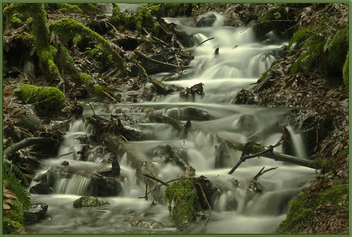
rain forest geotagged bravo stream falls coastal chilliwack naturesfinest janusz eow leszczynski supershot bridalvail abigfave superbmasterpiece geo:lat=49191493 geo:lon=121735597
Still on the search for Trolls ....
greatphotographers
View from my lunchspot today...
Elk Mountain, Chilliwack
View from my lunchspot today... EXPLORED !!! WOO HOO !!!
View from Baby Munday
ca canada forest moss britishcolumbia ferns forestfloor treestump martinsmith cultuslake teapothill fernsandforest nikkor2485mmf3545gedvr nikond750 ©martinsmith
Tree Stump, Ferns, Moss
View from my lunchspot today...
blue trees snow canada mountains nature river geotagged scenery scenic bluesky thursday vedder bytheriver otw beautifulbritishcolumbia nikond40 skycloudssun chilliwackbc bluejay2006 dragondaggerphoto novavitanewlife geo:lat=49097532 geo:lon=121986523
Just blue
nikon getty gettyimages paulwilliams nikond850 despitestraightlinesatgettyimages gettyimagesesp paulwilliamsatgettyimages canada tree nature rain woodland waterfall woodlands bc forrest britishcolumbia overcast falls waterfalls showers raining bridalveilfalls mothernature chilliwack d850 bridalveilfallsprovincialpark popkum treeswoods leefilters bridalveilfallschilliwack leesw150
Bridal veil falls Provincial park in Chilliwack, British Columbia - (Published by GETTY IMAGES)
View from my lunchspot today...
View from Stewart Summit
sunset lake geotagged highway1 transcanada hdr mosquitoes cheam bridalfalls janusz leszczynski topcso geo:lat=49196807 geo:lon=121746609 004634
When songs of the birds gives way to BZZZZZzzzzing of mosquitoes
longexposure west forest geotagged lotr lordoftherings hobbit tolkien middleearth naturesfinest janusz leszczynski abigfave infinestyle flickrdiamond picswithsoul geo:lat=49190679 geo:lon=121732721
Entering Hobbit Country
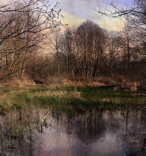
lake snow mountains ice geotagged frozen falls vail wetlands bridal hdr chilliwack cheam janusz leszczynski 002447 geo:lat=49194942 geo:lon=121746679
Wetlands – look better that it sounds
wallpaper canada waterfall stream lotr lordoftherings soe tolkien chilliwack janusz leszczynski bridalvailfalls flickrsbest anawesomeshot superbmasterpiece flickrdiamond excellentphotographerawards theunforgettablepictures goldstaraward
Here at last, dear friends ....
park wood travel pink blue light sunset summer sky orange cloud sun sunlight mountain lake canada reflection tree green tourism beach nature water beautiful rock horizontal stone forest sunrise relax landscape dawn evening coast log scenery bc view natural outdoor dusk britishcolumbia ripple scenic rocky peaceful wave scene calm pebble reflect national shore lakeshore trunk environment coastline relaxation majestic liquid tranquil hdr chilliwack cultus cultuslake
Cultus Lake Sunset
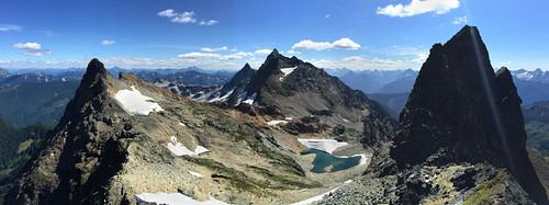
View Of Knight Peak "far right" from Baby Munday Peak
Not your normal "touristy" view of Cheam Lake...
canada nikond800 nature britishcolumbia mist harrisonhotsprings autum morning explore kovac´s
Morning mist Harrison Hot Springs, BC, Canada
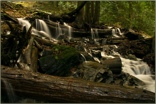
trees tourism nature landscape moss nikon rainforest logs waterfalls slowshutter bridalveilfalls hdr highdynamicrange cedars fraservalley lowpov popkum d7000
Bridal Veil Falls in Popkum
bridal falls waterfall cascade chilliwack bc british columbia canada winter snow long exposure water
Bridal Falls
orange landscape outdoors nikon colorful bc tulips britishcolumbia fields dslr agassiz d7000
Orange Escape
Red Rules
winter mist snow tree nature fog mystery landscape explore hdr arianwen mywinners flickrdiamond explore2010 bestcapturesaoi mygearandmepremium
Misty Mystery
canada water forest landscape bc britishcolumbia logs trail waterfalls slowshutter ferns dslr milky bridalveilfalls cedars provincialpark chilliwack slowspeed d7000
Spring Run-Off
ca canada water clouds cloudy britishcolumbia chilliwack chilliwacklake canon6d fraservalleye
Long and winding road IMG-8550
sky canada mountains nature clouds geotagged scenery father scenic friday heavenly hdr breathtaking godscountry otw beautifulbritishcolumbia thankyouall haveagreatweekend nikond40 mycameraneverlies chilliwackbc rubyphotographer bluejay2006 dragondaggerphoto novavitanewlife geo:lat=49167788 geo:lon=121633673
Go rest high on that mountain
teapothilltrail cultuslake trail mossytrees ferns martinsmith ©martinsmith hiking landscape britishcolumbia canada teapothill shadows
Teapot Hill Trail
lake mirror mountain range snowcapped mountains snow black white monochromatic cultus british columbia bc canada winter february morning
White Morning
canada waterfall britishcolumbia squamish shannonfalls shannonfallsprovincialpark
Shannon Falls
Sunrise over Elk this morning...
mintergardens
Minter Gardens
canada rainforest
Looking In To The Forest
Old Ridge Trail to Mt Cheam
mintergardens
Minter Gardens
mount mcguire chilliwack fraservalley mountain flowers wildflowers summer evening vivid landscape nature
An Evening in the Bowl