Elevation of Kings cottage, Palace Rd, Kakkabe, Karnataka, India

Location: India > Karnataka > Kodagu > Makkimotte >

Longitude: 75.6433112

Latitude: 12.2563953

Elevation: 895m / 2936feet

Barometric Pressure: 91KPa

Elevation Map:

elevation map of Kings cottage, Palace Rd, Kakkabe, Karnataka, India

Satellite Map:

Satellite map of Kings cottage, Palace Rd, Kakkabe, Karnataka, India

Related Photos:

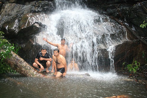
geotagged waterfall coorg geo:lat=123948224444443 geo:lon=756504377777775 civetcreekcamp
Water fall near Civet Creek Camp, Coorg
india nature trek karnataka coorg
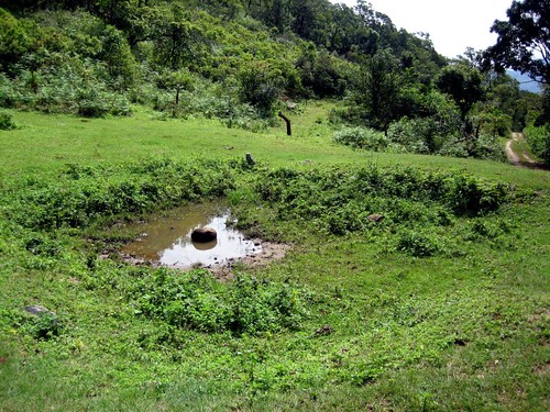
View From the dry lake
geotagged coorg geo:lat=123780428 geo:lon=756757524 civetcreekcamp
Coorg 073.jpg
geotagged waterfall coorg geo:lat=123949434285707 geo:lon=756504815000051 civetcreekcamp
Coorg 144.jpg
geotagged waterfall coorg geo:lat=123949659538461 geo:lon=756501233538465 civetcreekcamp
Coorg 147.jpg
geotagged coorg geo:lat=123780428 geo:lon=756757524 civetcreekcamp
Coorg 055.jpg
geotagged waterfall coorg civetcreekcamp geo:lat=123949595360825 geo:lon=756502591855671
Coorg 138.jpg
geotagged coorg civetcreekcamp geo:lat=123776830695651 geo:lon=756753943260869
Coorg 163.jpg
geotagged waterfall coorg civetcreekcamp geo:lat=123949294917126 geo:lon=756500817845303
Coorg 103.jpg
geotagged waterfall coorg geo:lat=123949265688066 geo:lon=756503444954123 civetcreekcamp
Coorg 113.jpg
geotagged waterfall coorg geo:lat=123949351602209 geo:lon=756500941657457 civetcreekcamp
Coorg 102.jpg
geotagged waterfall coorg geo:lat=123948177692308 geo:lon=756502527350427 civetcreekcamp
Coorg 116.jpg
geotagged coorg civetcreekcamp geo:lat=123777246363635 geo:lon=756754478181818
Coorg 166.jpg
geotagged waterfall coorg civetcreekcamp geo:lat=123948360769233 geo:lon=756502618290599
Coorg 118.jpg
geotagged coorg geo:lat=123780428 geo:lon=756757524 civetcreekcamp
Coorg 082.jpg
geotagged geo:lat=123780428 geo:lon=756757524 coorg civetcreekcamp
Coorg 081.jpg
geotagged coorg civetcreekcamp geo:lat=123790500999993 geo:lon=75676040849998
Coorg 171.jpg
geotagged waterfall coorg civetcreekcamp geo:lat=123949611134021 geo:lon=756502721546394
Coorg 140.jpg
geotagged coorg geo:lat=123780428 geo:lon=756757524 civetcreekcamp
Coorg 061.jpg
geotagged waterfall coorg civetcreekcamp geo:lat=123949735000001 geo:lon=75650337
Coorg 143.jpg
geotagged coorg civetcreekcamp geo:lat=123965777478261 geo:lon=756523399565216
Coorg 162.jpg
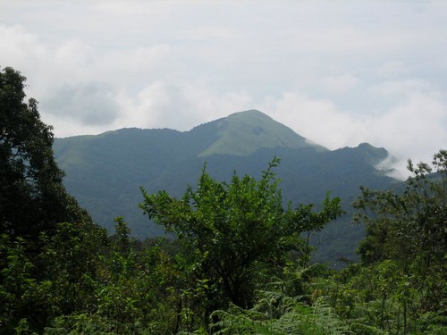
india karnataka coorg kodagu kabbehills
Kabbe Hills
Green on green on green
arbres végétation paysage forêt montagnes kabbinakad karnataka inde ind
Forêt, ghats occidentaux, district de Kodagu, Karnataka, Inde
india nature trek karnataka coorg
The Dry Lake
india nature trek karnataka coorg
Mountain from HoneyValley
arbres montagnes paysage forêt végétation kabbinakad karnataka inde ind
Paysage de la chaîne des Ghats occidentaux, district de Kodagu, Karnataka, Inde
india nature trek karnataka coorg
Ridge Walk
forêt montagnes végétation paysage kabbinakad karnataka inde ind
Paysage de la chaîne des Ghats occidentaux, district de Kodagu, Karnataka, Inde
india nature trek karnataka coorg
A new day