Elevation of Kimito island municipality, Finland
Location: Finland >
Longitude: 22.7360959
Latitude: 60.1665865
Elevation: 21m / 69feet
Barometric Pressure: 101KPa
Elevation Map:
Satellite Map:
Related Photos:

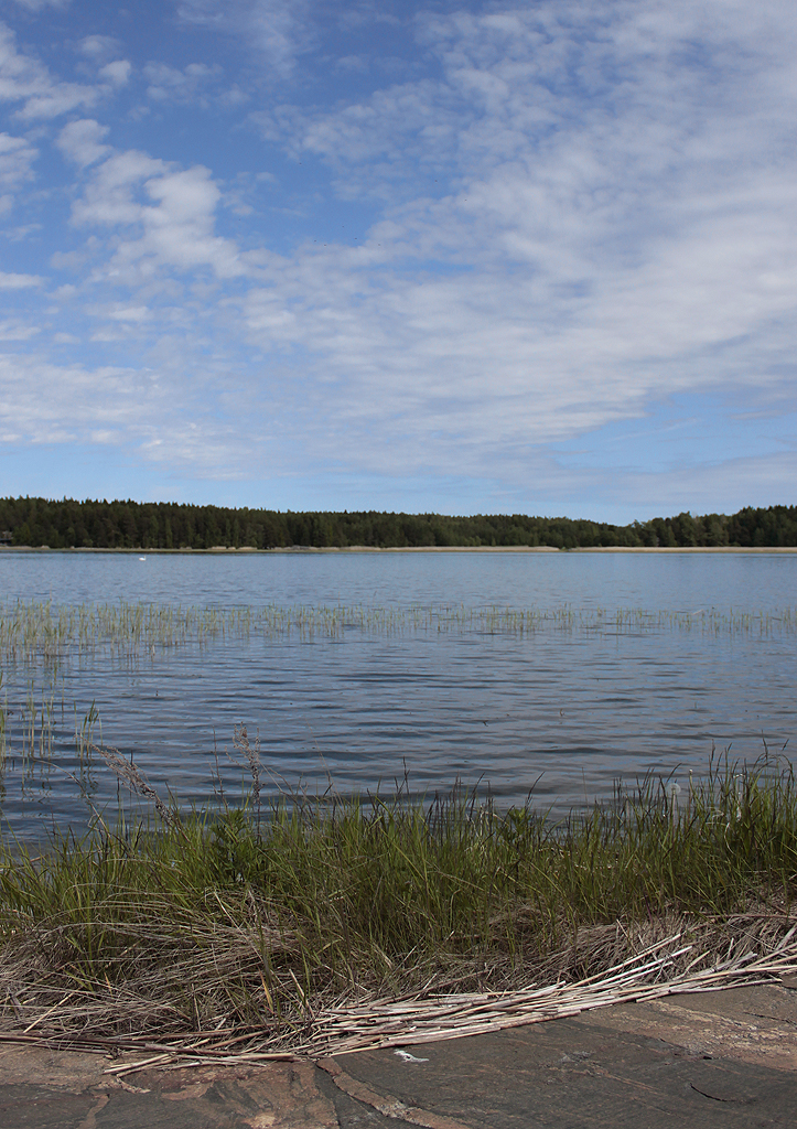
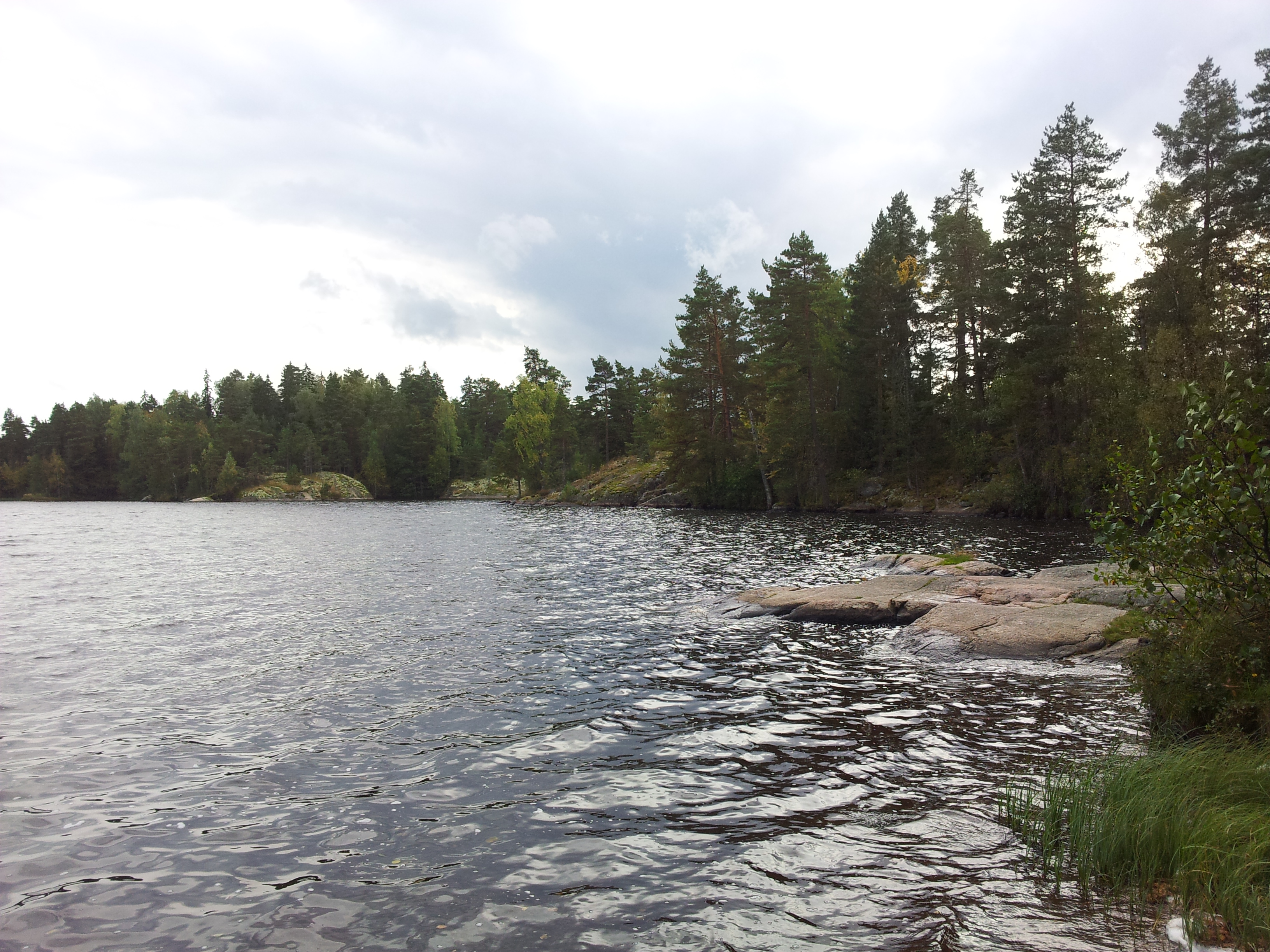
Lake view

January blues #winter #sea #Balticsea #archipelago #January #SonyPhoto #SonyImage #SonyCameras #SonyAlpha #SonyA35 #Sony #SonyNordic
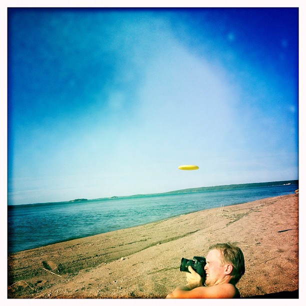
Topless photographer mikkohei and a flying saucer. #thedecisivemoment

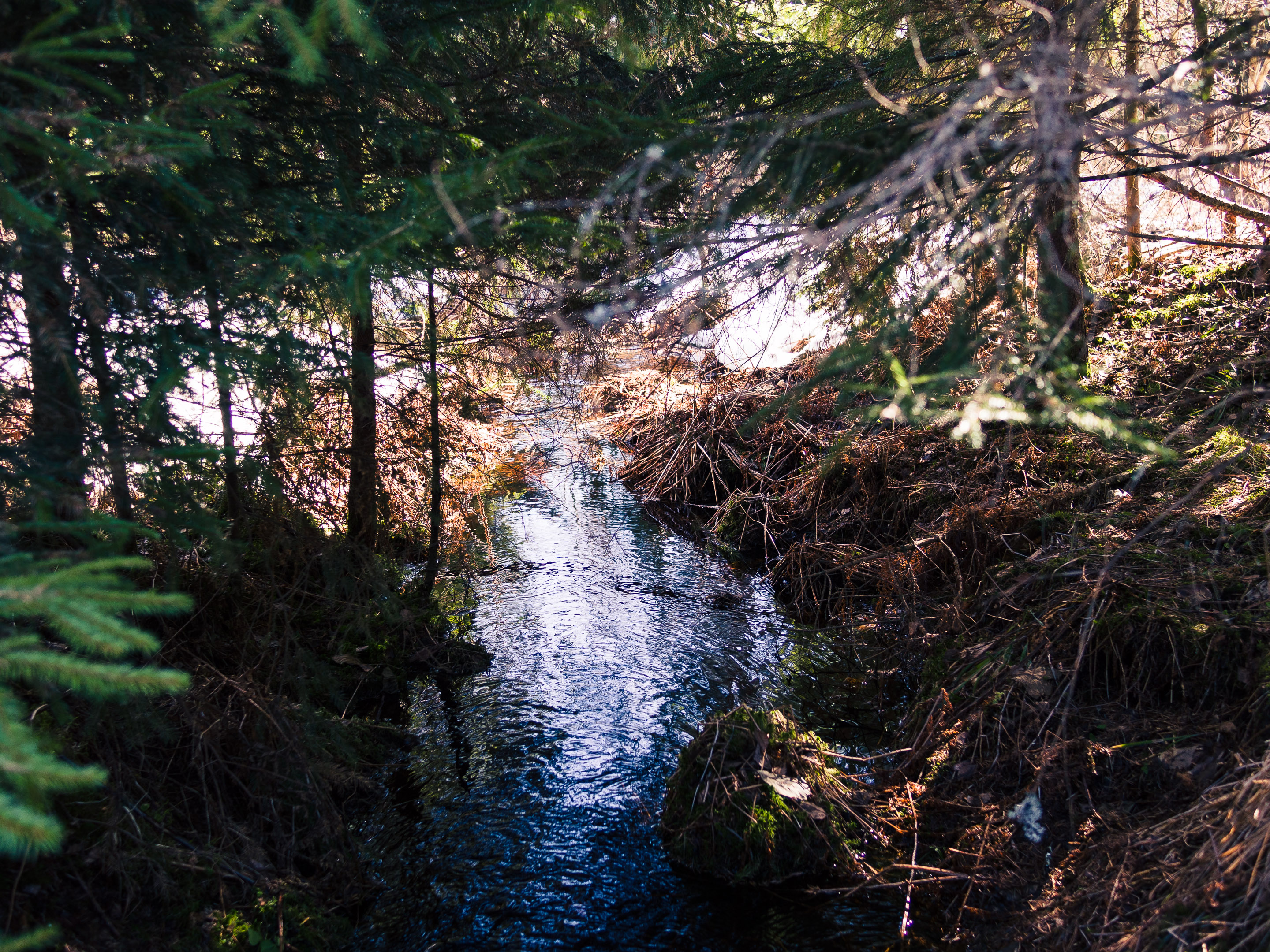
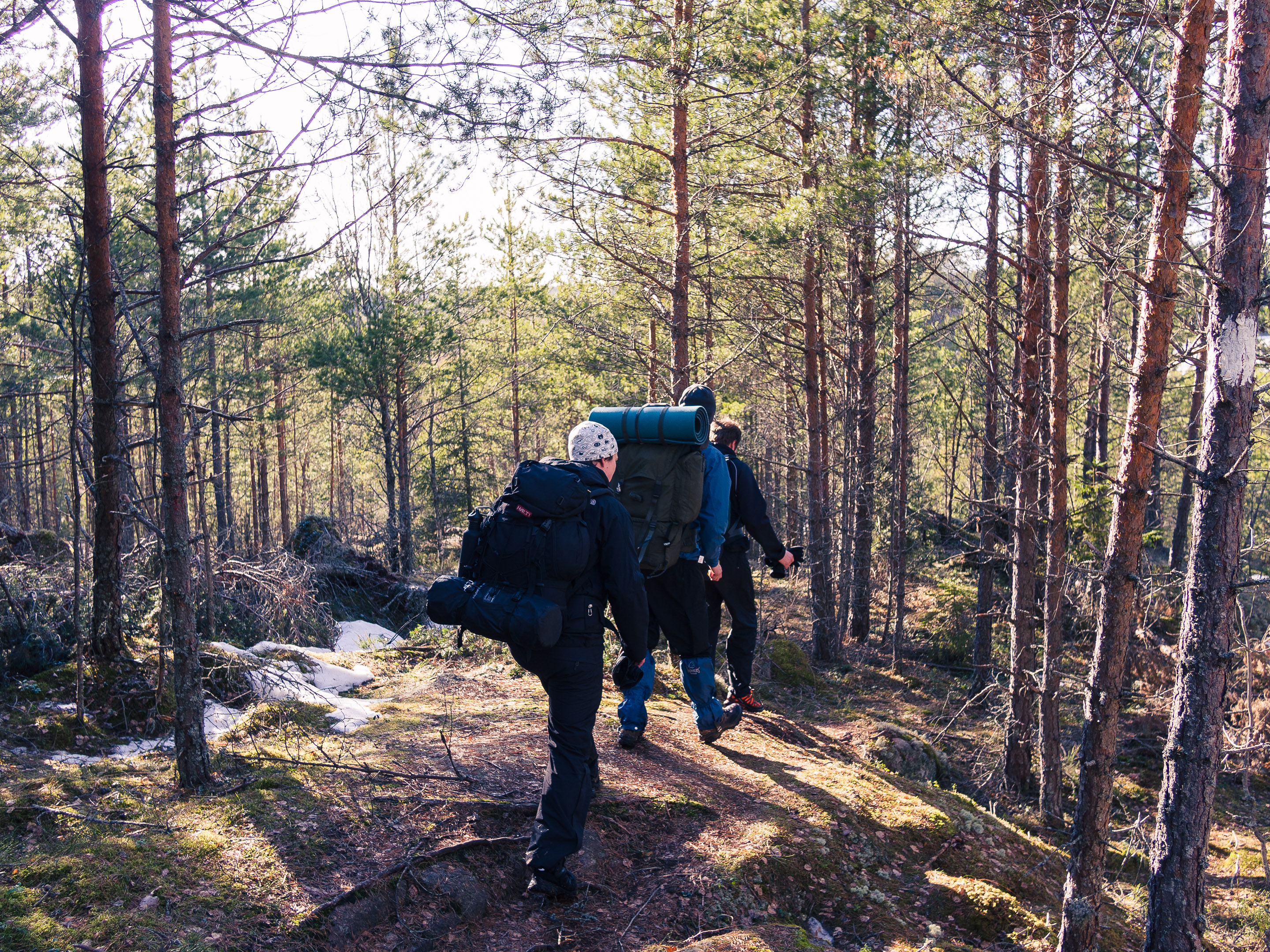
Cycling trip with a #dji #phantom4 #drone #rpas. This is #river near #teijo #salo #finland

Meri-Teijo

Cycling trip with a #dji #phantom4 #drone #rpas. This is #river near #teijo #salo #finland

October sea #bw #blackandwhite #sea #balticsea #autumn #nature #landscape #Karuna#Finland #Suomi #maisema #luonto #syksy #meri #Itämeri #saaristo #mustavalko #Lokakuu #Hipstamatic #Oggl #Jane #BlacKeysExtraFine #Nokia #Lumia #Microsoft #Windowsphone #lumi
P4209142.jpg
P4209138.jpg
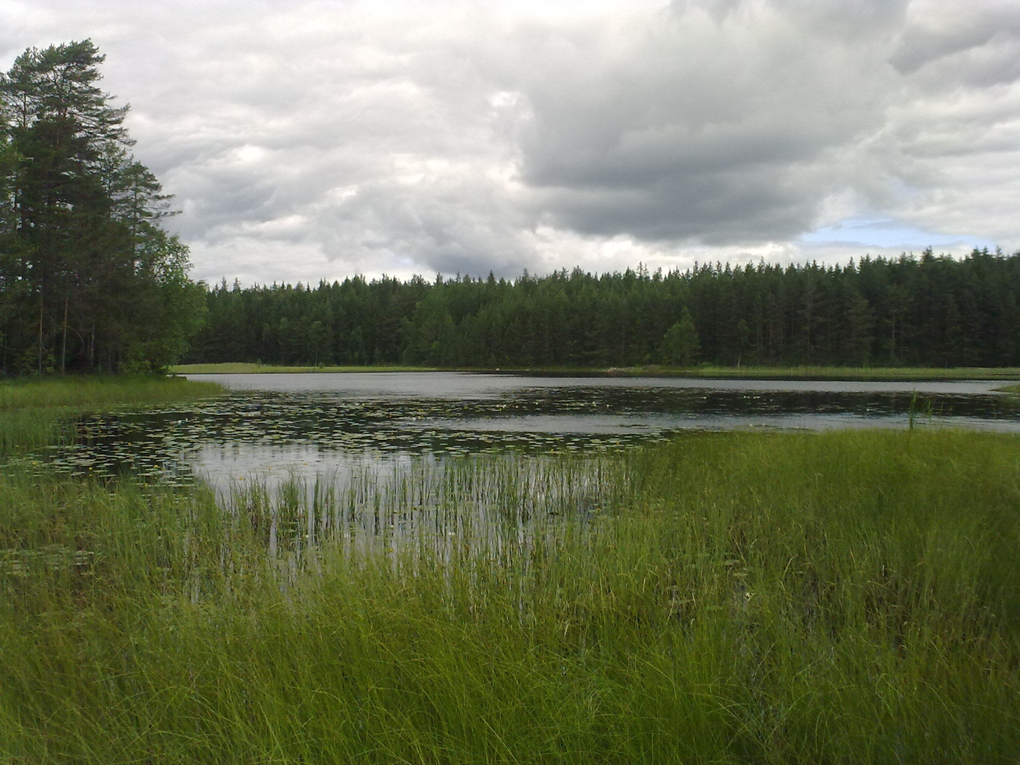
Mathilda Lake II
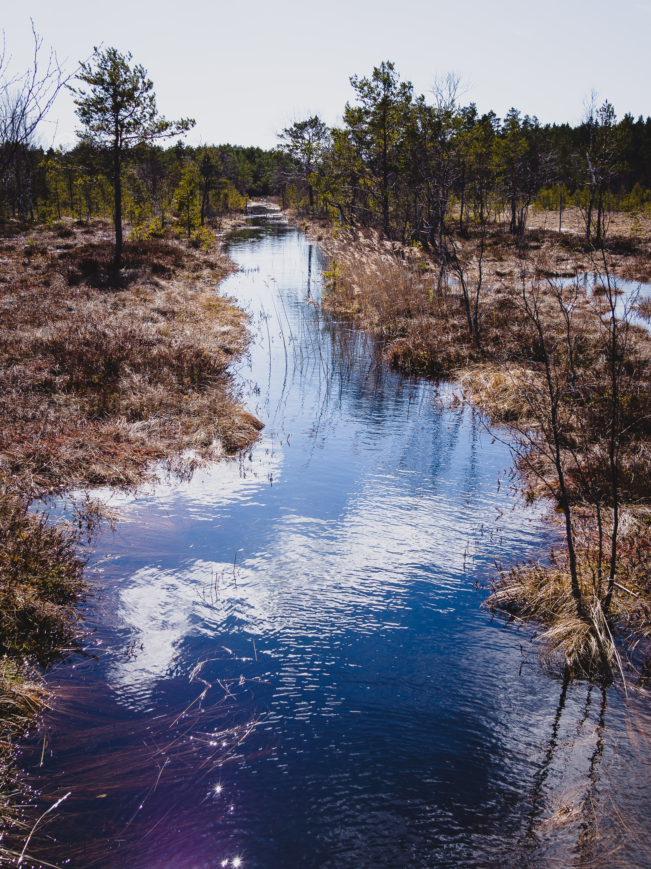
Creek II
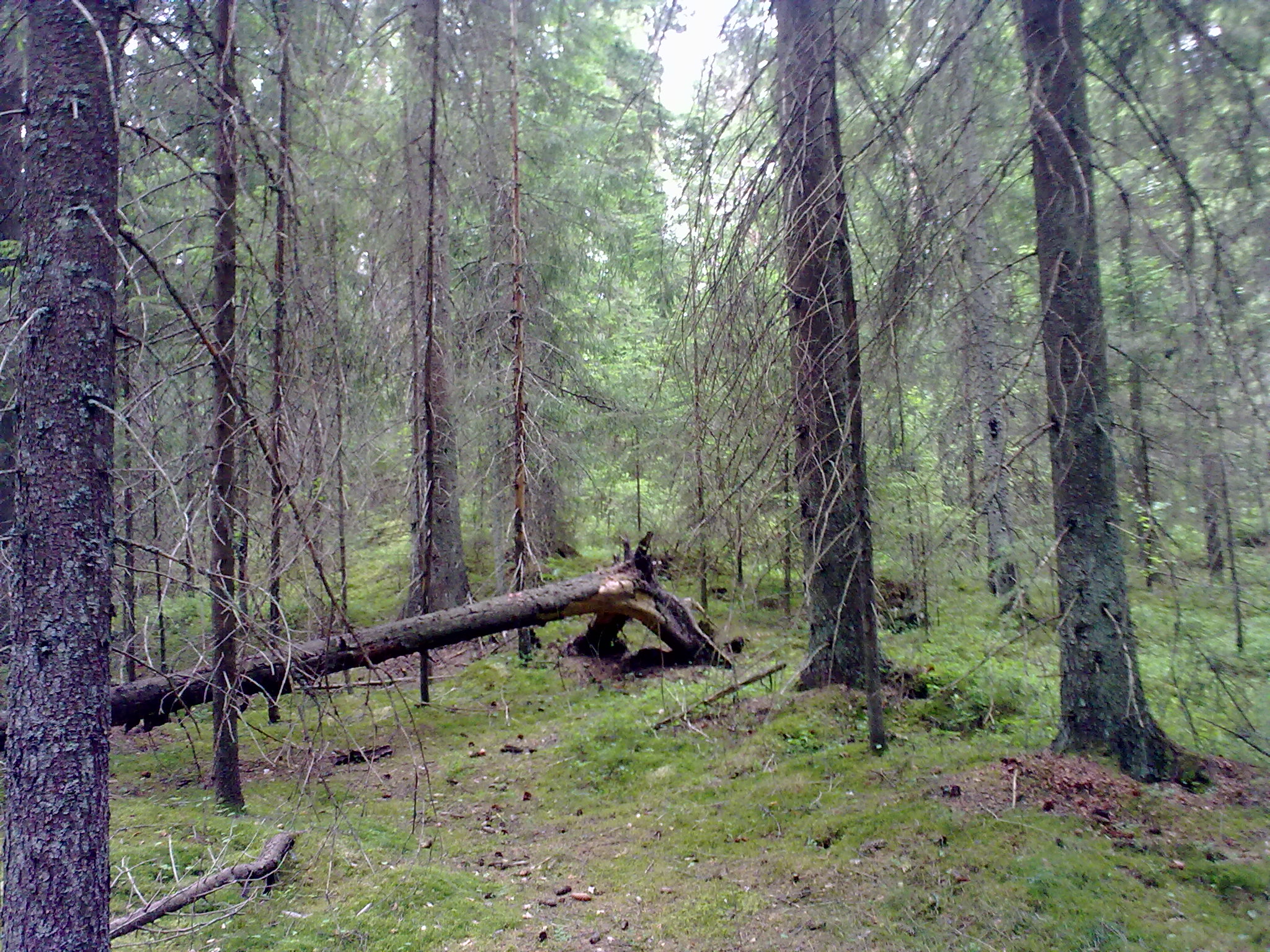
Fallen tree
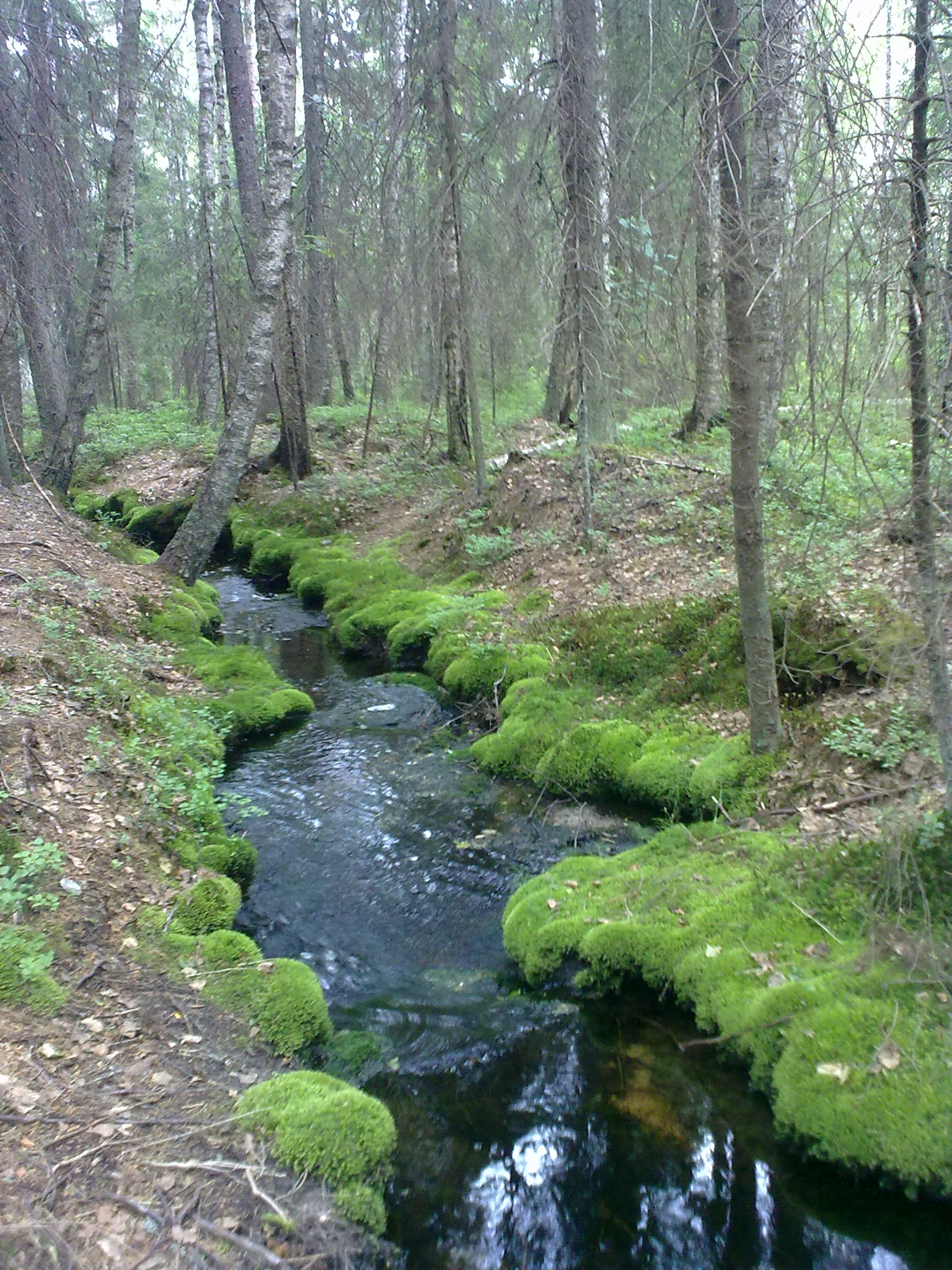
Forest creek
P4209153.jpg
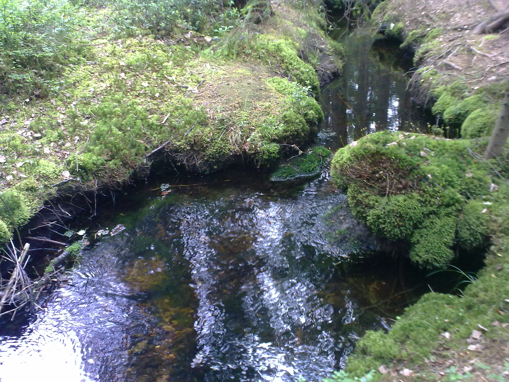
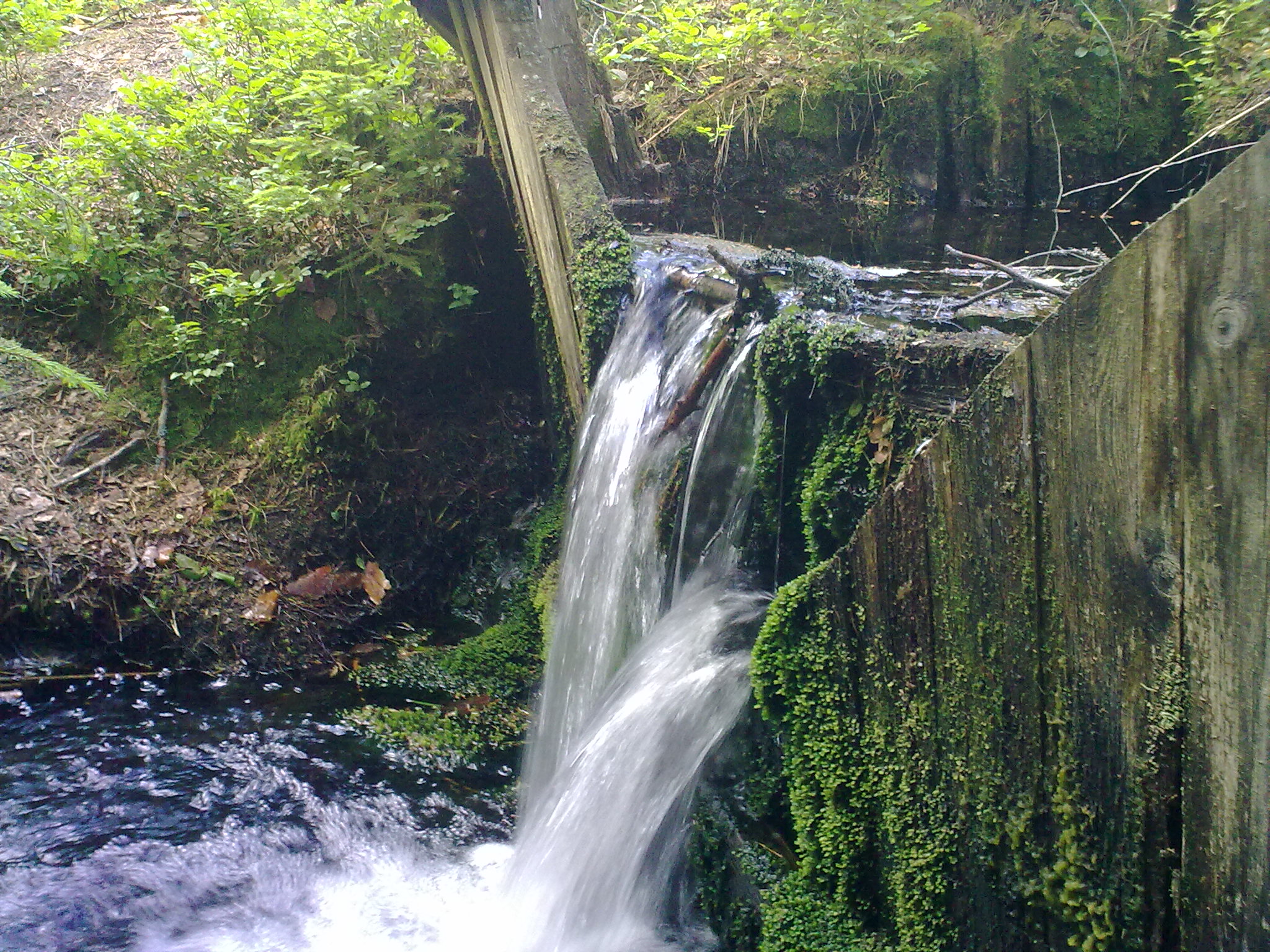
Creek I
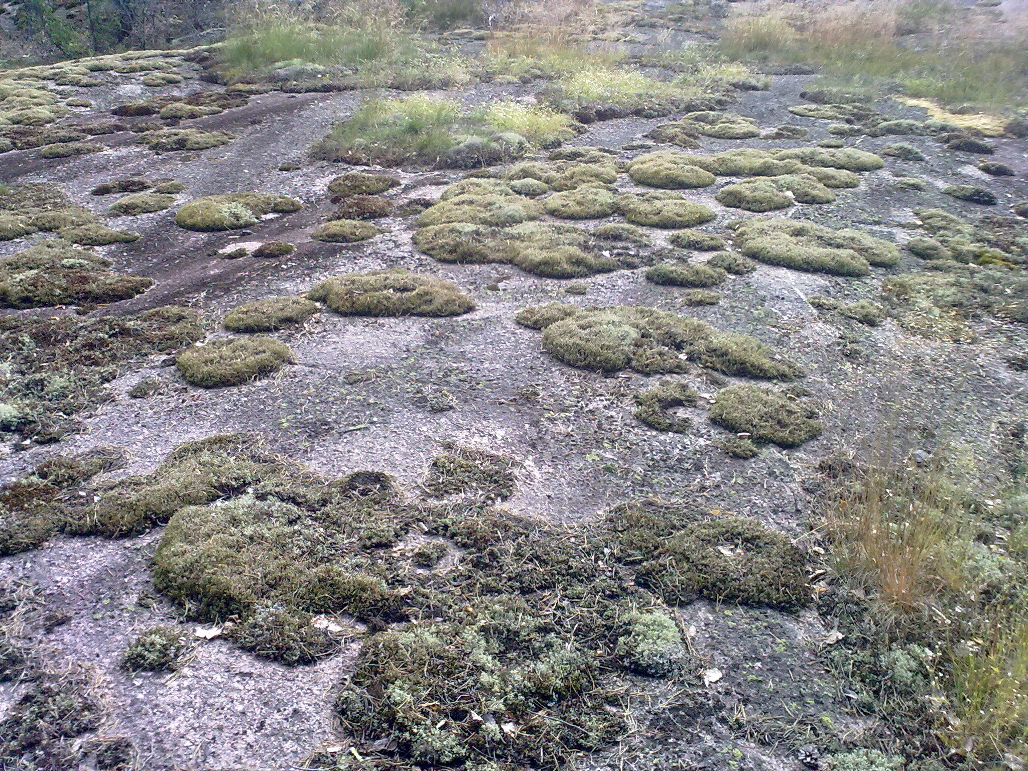
A rock
P4209156.jpg

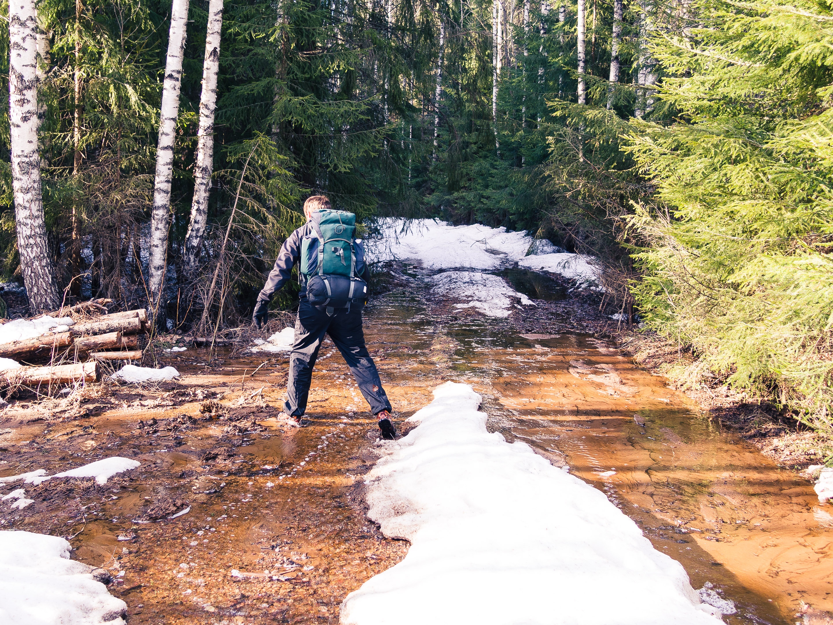
Kevättulva
Karunan maisemia
Sahajärvi Teijo
Teijo-42
Topographic Map of Kimito island municipality, Finland
Find elevation by address:

Places in Kimito island municipality, Finland:
Sahatie 6, Kemiönsaari, Finland
Villkärrintie, Kemiönsaari, Finland
Bergantie 38, Kemiönsaari, Finland
Kasnäsintie, Kemiönsaari, Finland
Mosantie, Kemiönsaari, Finland
Vestanviksvägen, Kimitoön, Finland
Nummitie 83, Kemiönsaari, Finland
Places near Kimito island municipality, Finland:
Sahatie 6, Kemiönsaari, Finland
Villkärrintie, Kemiönsaari, Finland
Mosantie, Kemiönsaari, Finland
Bergantie 38, Kemiönsaari, Finland
Vestanviksvägen, Kimitoön, Finland
Vanha Karunantie 344
Kokkilantie, Salo, Finland
Ylönkyläntie 33, Salo, Finland
Metsäkyläntie, Salo, Finland
Ikeläntie 250
Hästöntie, Salo, Finland
Perniöntie, Salo, Finland
Veistämöntie 9, Salo, Finland
Gunnarsstrandsvägen 15, Hangö, Finland
Hanko
Hangö Högstadium
Alhonkuja 5, Salo, Finland
Ruuhikoskenkatu 17, Salo, Finland
Salo
Hjalmarinpolku 23, Hanko, Finland
Recent Searches:
- Elevation of Corso Fratelli Cairoli, 35, Macerata MC, Italy
- Elevation of Tallevast Rd, Sarasota, FL, USA
- Elevation of 4th St E, Sonoma, CA, USA
- Elevation of Black Hollow Rd, Pennsdale, PA, USA
- Elevation of Oakland Ave, Williamsport, PA, USA
- Elevation of Pedrógão Grande, Portugal
- Elevation of Klee Dr, Martinsburg, WV, USA
- Elevation of Via Roma, Pieranica CR, Italy
- Elevation of Tavkvetili Mountain, Georgia
- Elevation of Hartfords Bluff Cir, Mt Pleasant, SC, USA