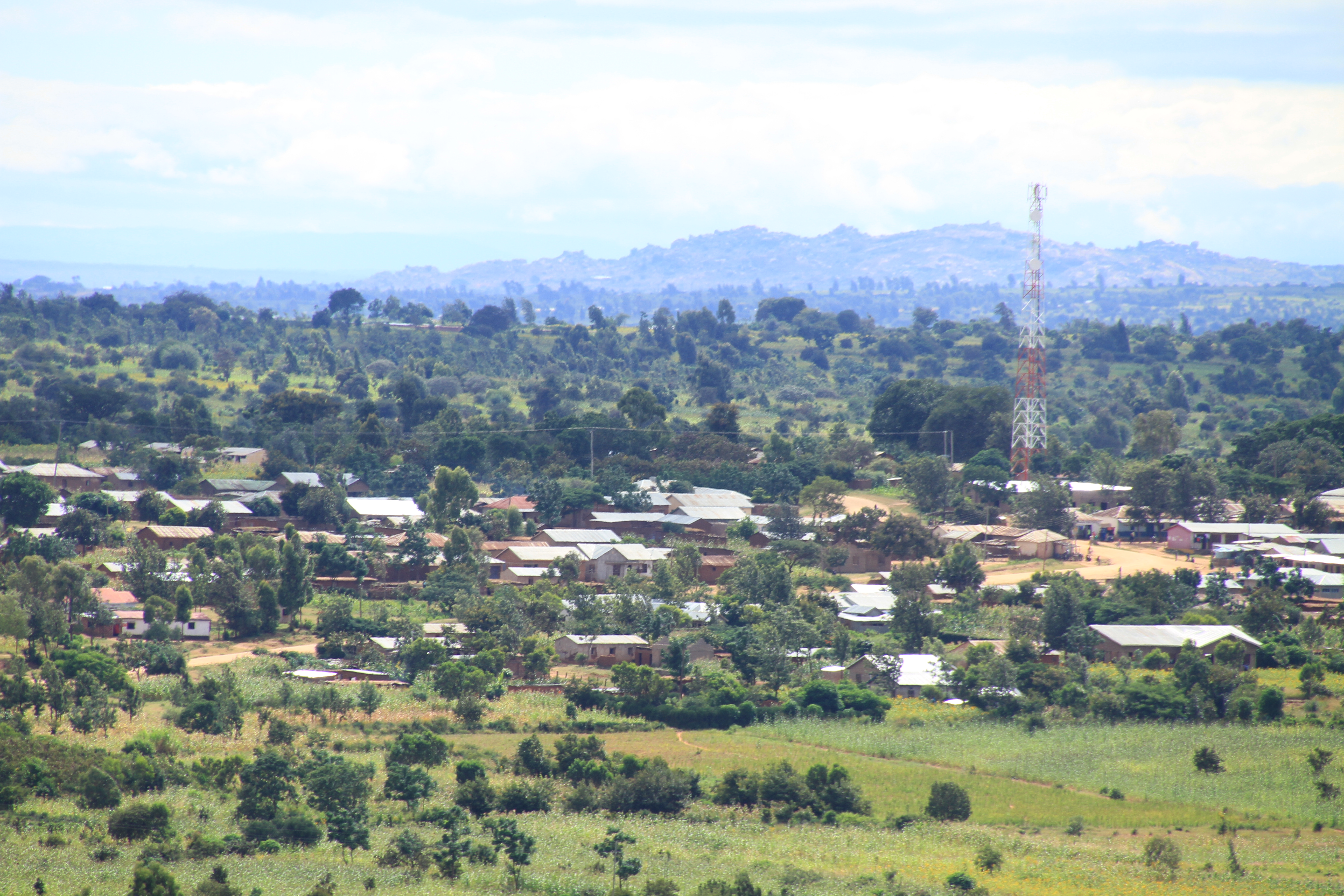
Elevation of Kijota, Tanzania
Location: Tanzania > Singida Region > Singida Rural >
Longitude: 34.8538933
Latitude: -4.5841581
Elevation: 1623m / 5325feet
Barometric Pressure: 83KPa
Elevation Map:
Satellite Map:
Related Photos:

IMG_2462

IMG_2489

P4240559

IMG_2498
IMG_2473

14

IMG_2842

IMG_2841

IMG_2840

IMG_2839

P4240568

P4240566

P4240562

P4240548

sky

IMG_2666

IMG_2647

IMG_2605

IMG_2599

IMG_2595

IMG_2593

IMG_2588

IMG_2587

IMG_2586

IMG_2581
Topographic Map of Kijota, Tanzania
Find elevation by address:

Places near Kijota, Tanzania:
Recent Searches:
- Elevation of Corso Fratelli Cairoli, 35, Macerata MC, Italy
- Elevation of Tallevast Rd, Sarasota, FL, USA
- Elevation of 4th St E, Sonoma, CA, USA
- Elevation of Black Hollow Rd, Pennsdale, PA, USA
- Elevation of Oakland Ave, Williamsport, PA, USA
- Elevation of Pedrógão Grande, Portugal
- Elevation of Klee Dr, Martinsburg, WV, USA
- Elevation of Via Roma, Pieranica CR, Italy
- Elevation of Tavkvetili Mountain, Georgia
- Elevation of Hartfords Bluff Cir, Mt Pleasant, SC, USA