Elevation of Kidder Hill Ridge, Irasburg, VT, USA
Location: United States > Vermont > Orleans County > Irasburg >
Longitude: -72.330630
Latitude: 44.8316235
Elevation: 430m / 1411feet
Barometric Pressure: 96KPa
Elevation Map:
Satellite Map:
Related Photos:
Running views #nikerunning #jackrabbit #newyorkrunningcompany

Newport VT - Pierre and I on the terrace of the Belvedere

Cabin View

St. Mary Star of the Sea Catholic Church - 5

View of the Goodrich Library

Cabin View Outside

View from District Court

Enjoying the View

View of Prouty Beach Across Lake
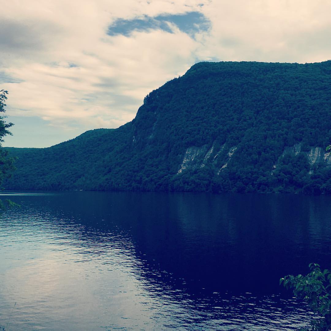
View of Barton Mountain
View of Barton Mountain

View from Christi's House, Albany, Vermont

My Point of View

Barton Public Library 16.jpg
View to the north

Kingdom Sunrise

high meadow trail.
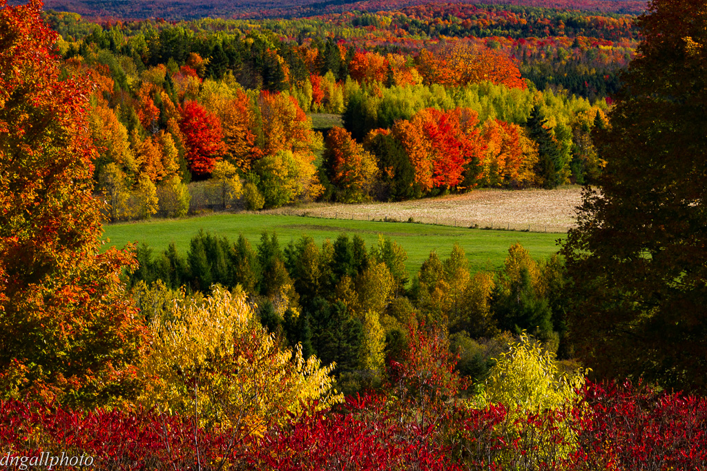
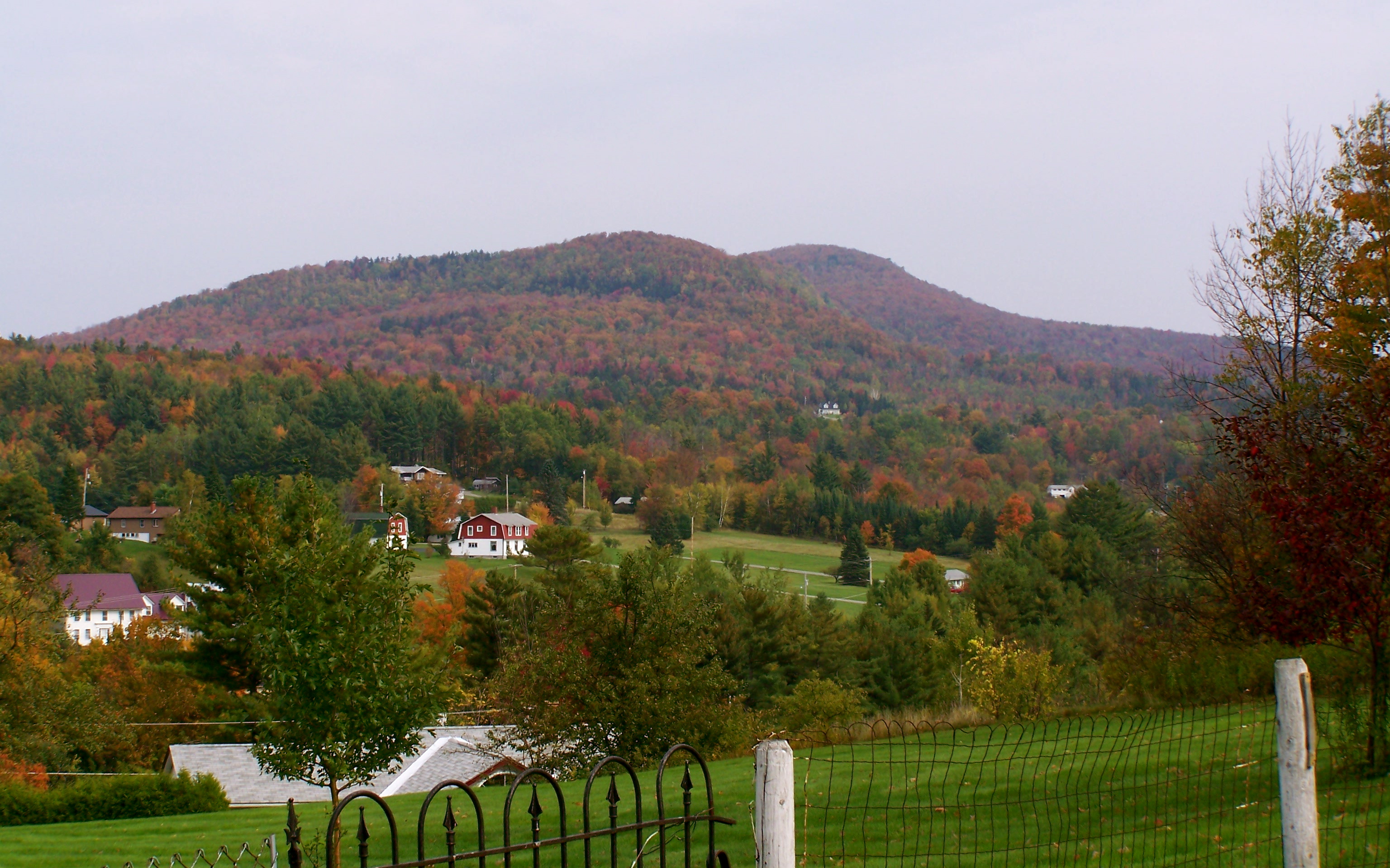
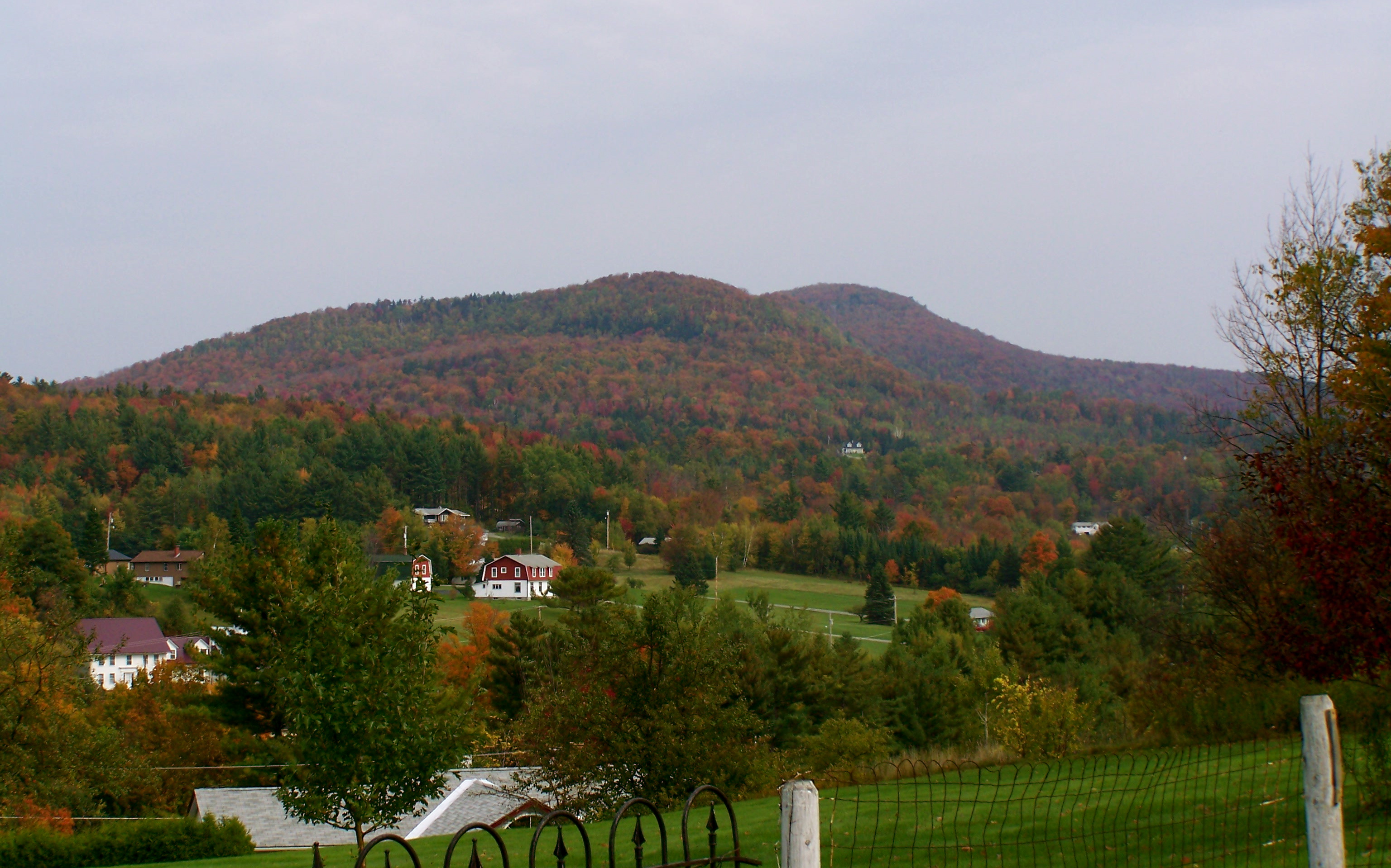
Vermont Fall

Fern Bog

Powderhorn lichen (Cladonia coniocraea) (May 11, 2013) 05

Black Locust Tree (Robinia pseudoacacia) at CLFHA (10 of 42) June 08, 2013
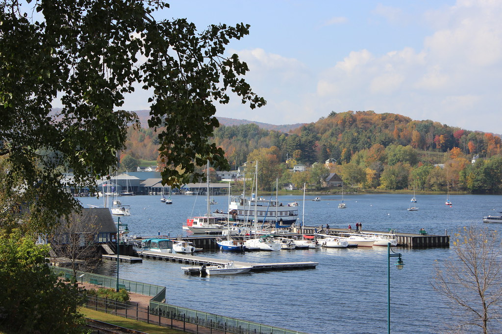
Newport marina

Barton River - 8 Jan 2016

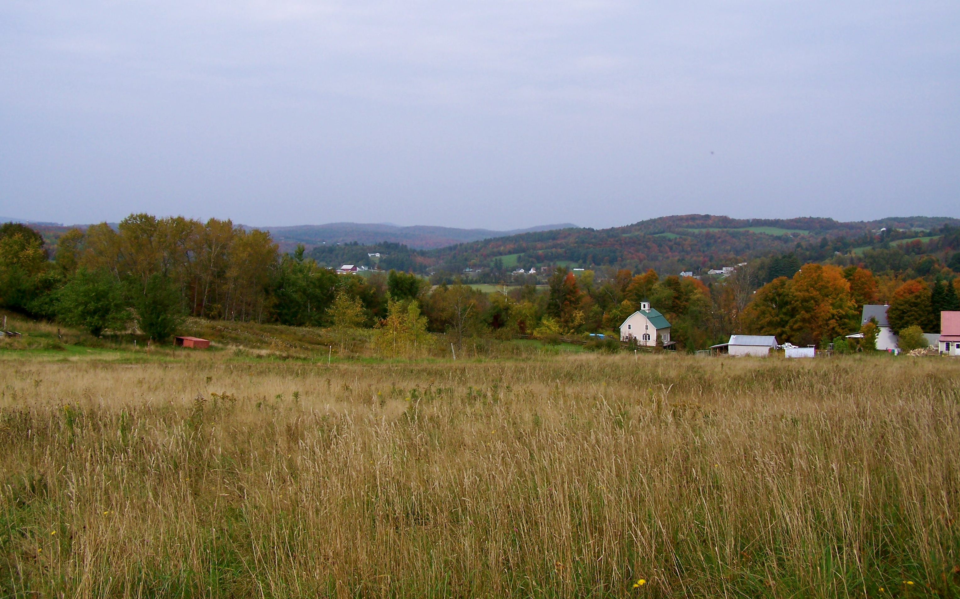
Farm Foliage

Country side

Lake Memphremagog in Newport, Vermont

Lake Memphremagog

Pastel Sky on Sebasticook

Fall Path Barton VT 4 Nov 2015

Muskrat (Ondatra zibethicus) (May 11, 2013) 10

The Gap

Corn Field

Number 12 Road - 16x9

Number 12 Road - 4x3

Creek Road Spring_0739
Topographic Map of Kidder Hill Ridge, Irasburg, VT, USA
Find elevation by address:

Places near Kidder Hill Ridge, Irasburg, VT, USA:
588 Chilafoux Rd
674 Tenakee Rd
674 Tenakee Rd
674 Tenakee Rd
674 Tenakee Rd
213 Routhier Rd
Orleans County
VT-, Troy, VT, USA
808 Hi-acres Rd
Troy
4131 Airport Rd
Newport Center
52 Laramee Rd
1750 Vance Hill Rd
1207 City Farm Rd
529 W Main St
Bogner Drive
Bogner Drive
U.s. 5 & Vermont 105
2559 Glen Rd
Recent Searches:
- Elevation of Corso Fratelli Cairoli, 35, Macerata MC, Italy
- Elevation of Tallevast Rd, Sarasota, FL, USA
- Elevation of 4th St E, Sonoma, CA, USA
- Elevation of Black Hollow Rd, Pennsdale, PA, USA
- Elevation of Oakland Ave, Williamsport, PA, USA
- Elevation of Pedrógão Grande, Portugal
- Elevation of Klee Dr, Martinsburg, WV, USA
- Elevation of Via Roma, Pieranica CR, Italy
- Elevation of Tavkvetili Mountain, Georgia
- Elevation of Hartfords Bluff Cir, Mt Pleasant, SC, USA