Elevation of KIADB Gamanagatti Industrial Area, Gamanagatti Rd, Tarihal Industrial Area, Hubli, Karnataka, India
Location: India > Karnataka > Dharwad > Hubballi >
Longitude: 75.0517028
Latitude: 15.3803937
Elevation: 692m / 2270feet
Barometric Pressure: 93KPa
Elevation Map:
Satellite Map:
Related Photos:

Kelgeri Lake, Dharwad

Vijay Nyamathi's 19th Birthday Shoot

Tolankeri Ponds (21 Acre)

Unakal Keri

Unakal Keri

Unakal Keri

#train #window #travel

Devargudihal movie by the lake ride
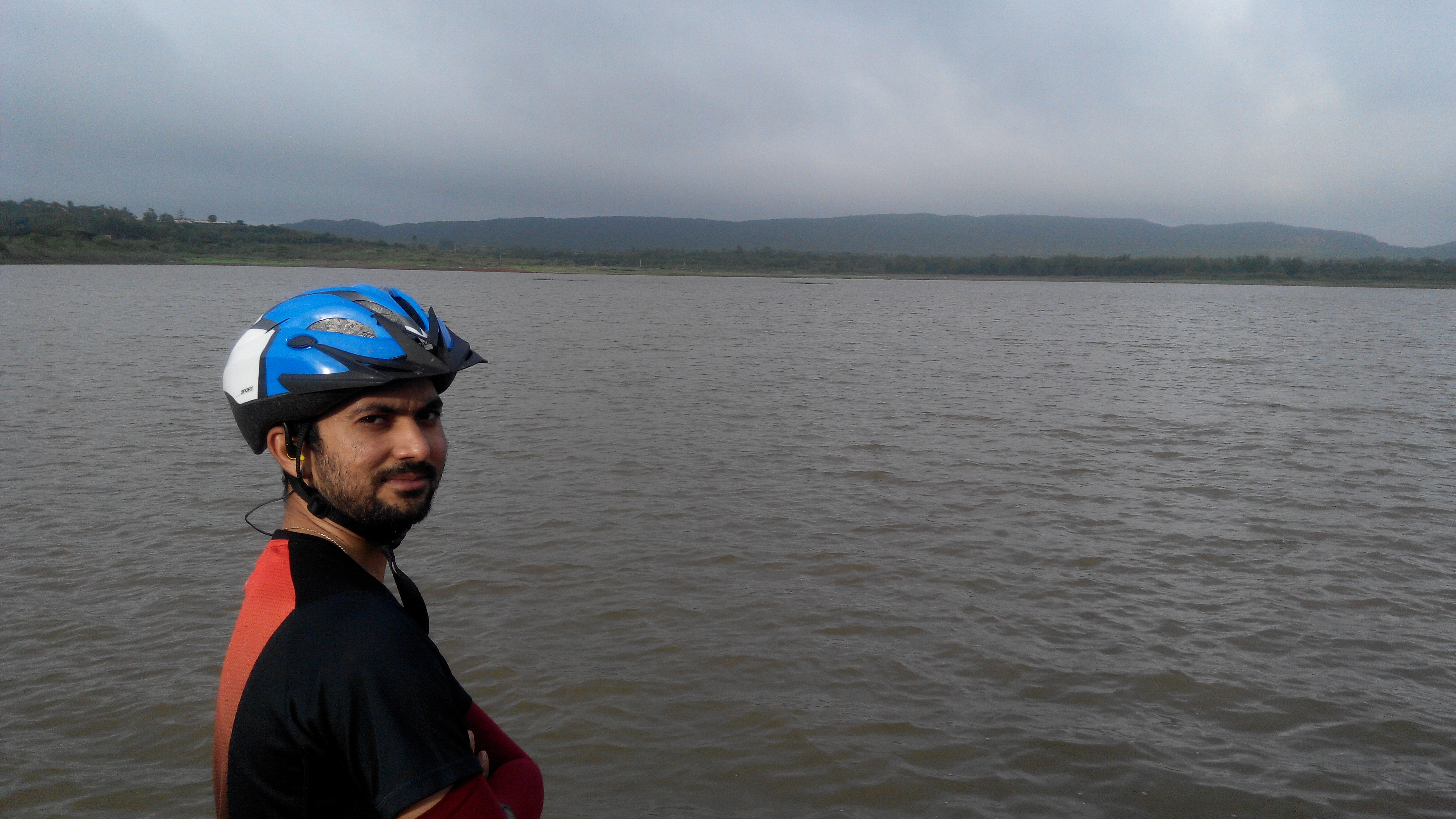
Devargudihal movie by the lake ride

Devargudihal movie by the lake ride

Attraction vs Distraction 2 (before)

Attraction vs Distraction 3 (before)
Topographic Map of KIADB Gamanagatti Industrial Area, Gamanagatti Rd, Tarihal Industrial Area, Hubli, Karnataka, India
Find elevation by address:

Places near KIADB Gamanagatti Industrial Area, Gamanagatti Rd, Tarihal Industrial Area, Hubli, Karnataka, India:
Gamanagatti
Jagadeesh Nagar
The Ocean Pearl Resort And Spa Dharwad
Joga Yellapur
Hubballi Airport
Gandhi Nagar
Nuggikeri Hanuman Temple.
Nuggikeri Hanuman Temple Mud Road
Girinagar
Yalakki Shettar Colony
Gandhinagar
Aryabhata P U Science College
Bandemma Temple
Tejaswi Nagar
Vidyagiri Police Station
Hubballi
Shivanandnagar
Saraswatpur
Hubali-dharwad
Nttf Technical Training Center
Recent Searches:
- Elevation of Corso Fratelli Cairoli, 35, Macerata MC, Italy
- Elevation of Tallevast Rd, Sarasota, FL, USA
- Elevation of 4th St E, Sonoma, CA, USA
- Elevation of Black Hollow Rd, Pennsdale, PA, USA
- Elevation of Oakland Ave, Williamsport, PA, USA
- Elevation of Pedrógão Grande, Portugal
- Elevation of Klee Dr, Martinsburg, WV, USA
- Elevation of Via Roma, Pieranica CR, Italy
- Elevation of Tavkvetili Mountain, Georgia
- Elevation of Hartfords Bluff Cir, Mt Pleasant, SC, USA