Elevation of Khost, Afghanistan
Location: Afghanistan > Khost > Khost >
Longitude: 69.9371673
Latitude: 33.3338472
Elevation: 1160m / 3806feet
Barometric Pressure: 88KPa
Elevation Map:
Satellite Map:
Related Photos:

Barn Swallow

Laughing Dove
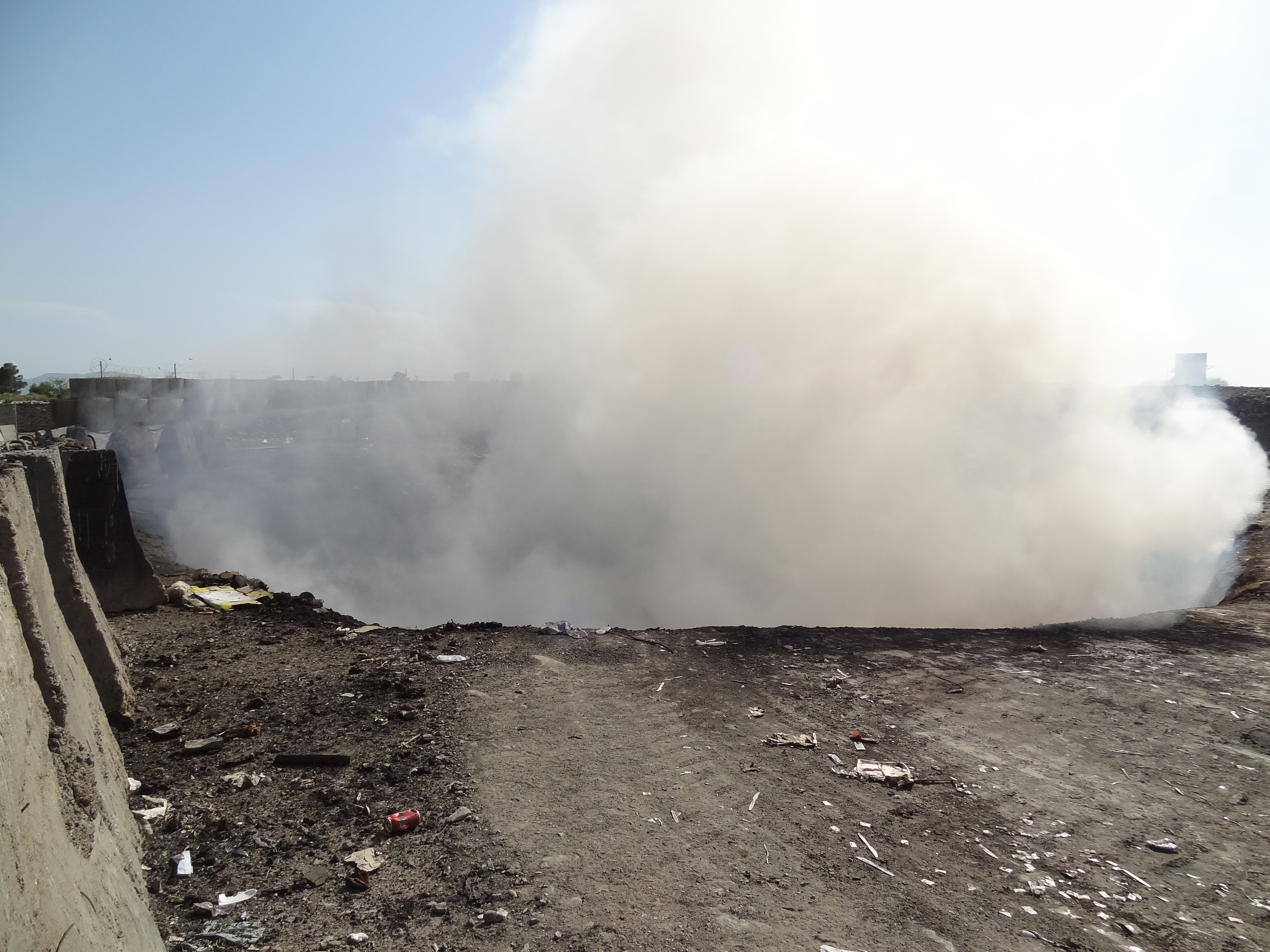
Emissions from FOB Salerno Open-Air Burn Pit
Topographic Map of Khost, Afghanistan
Find elevation by address:

Places near Khost, Afghanistan:
Khost
Khost
North Waziristan Agency
Miran Shah
Zahoo
Gardez
Razmak
Paktia
Makin
Federally Administered Tribal Area
Unnamed Road
Ladha
Makin
Gardez
Pir Ghar
Baddar Toi
Kaniguram
Tiarza
Shakai Valley
Shawal Valley
Recent Searches:
- Elevation of Corso Fratelli Cairoli, 35, Macerata MC, Italy
- Elevation of Tallevast Rd, Sarasota, FL, USA
- Elevation of 4th St E, Sonoma, CA, USA
- Elevation of Black Hollow Rd, Pennsdale, PA, USA
- Elevation of Oakland Ave, Williamsport, PA, USA
- Elevation of Pedrógão Grande, Portugal
- Elevation of Klee Dr, Martinsburg, WV, USA
- Elevation of Via Roma, Pieranica CR, Italy
- Elevation of Tavkvetili Mountain, Georgia
- Elevation of Hartfords Bluff Cir, Mt Pleasant, SC, USA