Elevation of Khmel'nyts'ka city council, Khmel'nyts'ka oblast, Ukraine
Location: Ukraine > Khmel'nyts'ka Oblast >
Longitude: 26.987133
Latitude: 49.422983
Elevation: 289m / 948feet
Barometric Pressure: 98KPa
Elevation Map:
Satellite Map:
Related Photos:
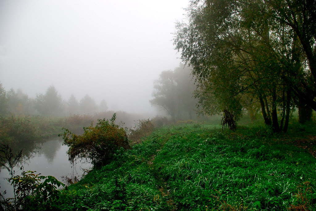
Southern Buh in Fog
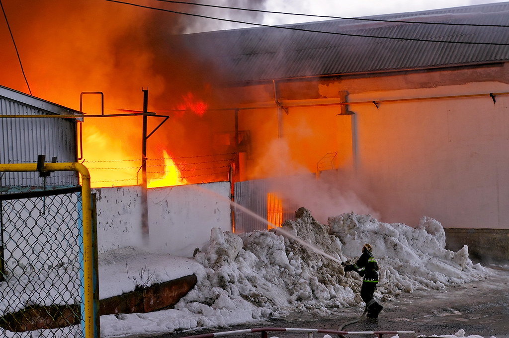
Fighting Fire

HDR@ School
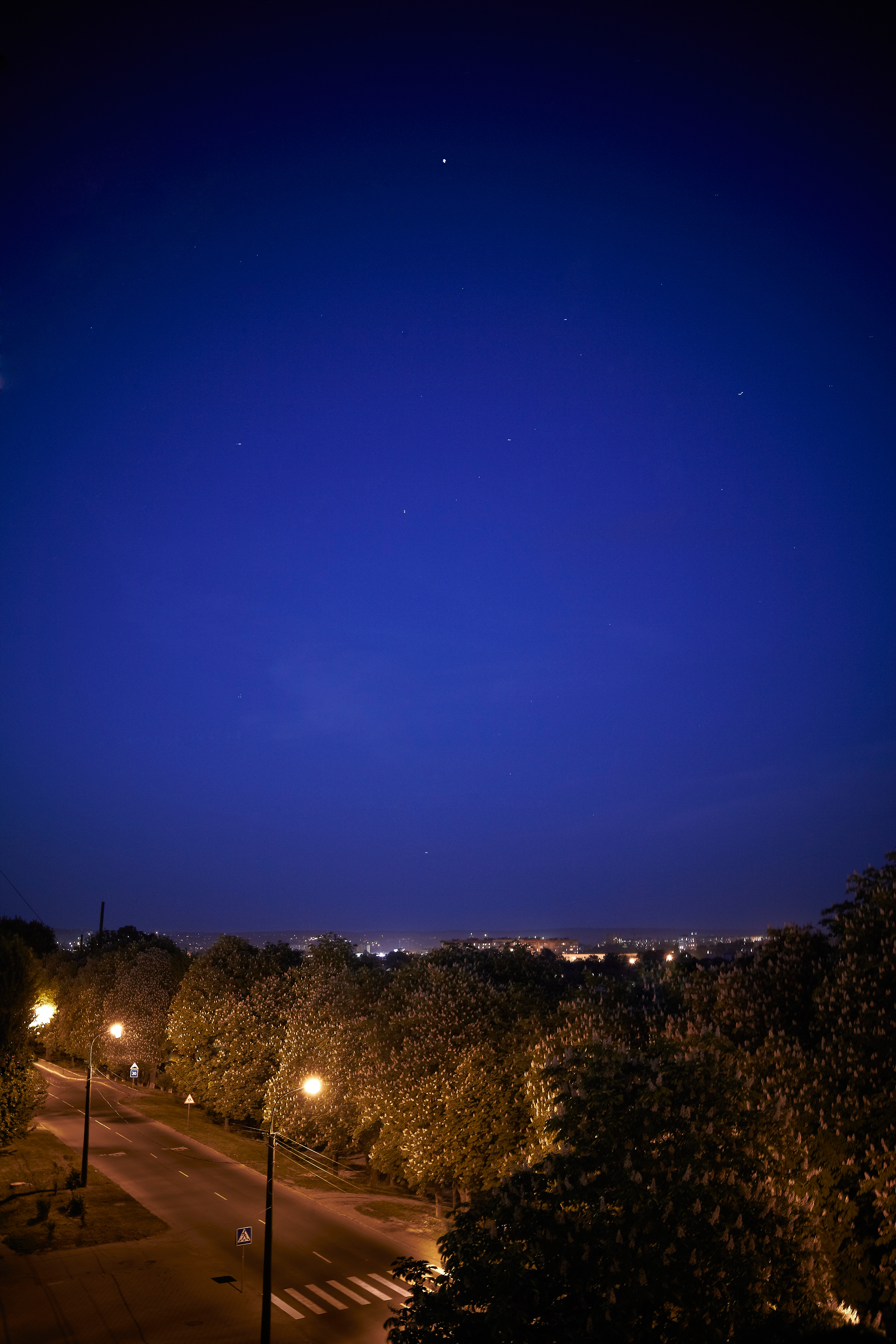
Night of Khmelnytsky
Easter Time
р. Плоская

#autumn
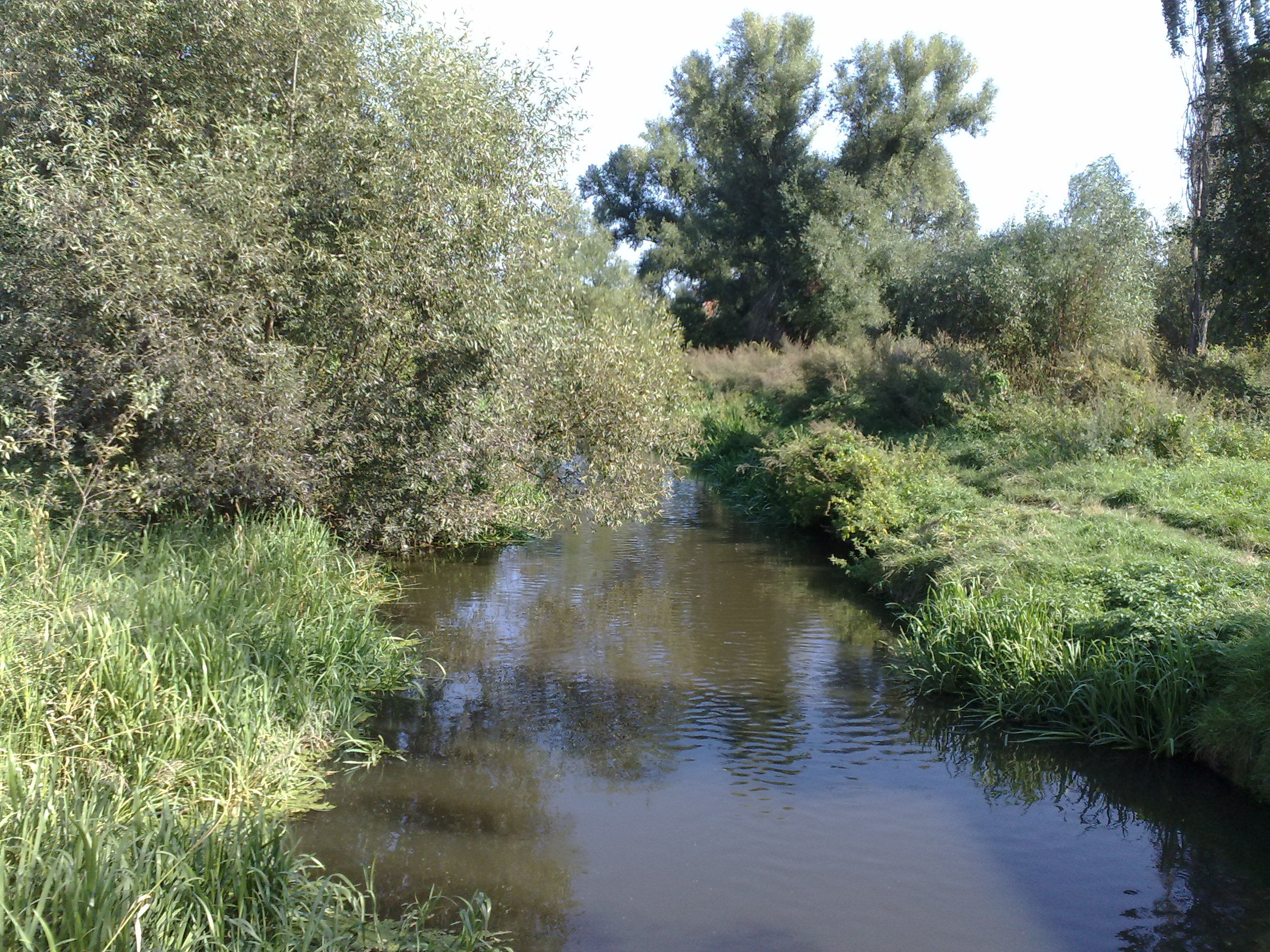
River Pivdennyi Buh near my place, Khmelnitsky

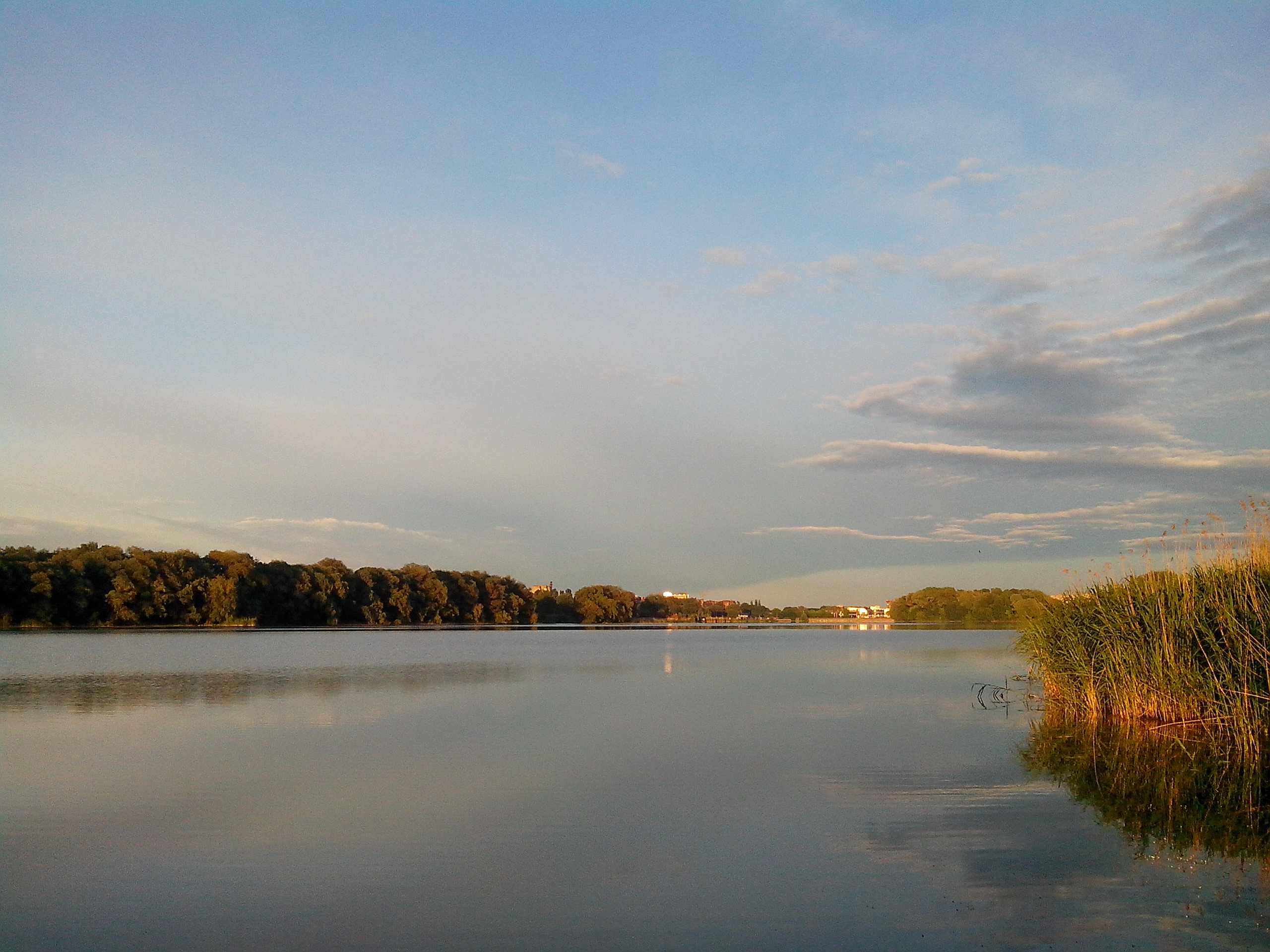
Озеро в Баламутовке

Став
Topographic Map of Khmel'nyts'ka city council, Khmel'nyts'ka oblast, Ukraine
Find elevation by address:

Places in Khmel'nyts'ka city council, Khmel'nyts'ka oblast, Ukraine:
Places near Khmel'nyts'ka city council, Khmel'nyts'ka oblast, Ukraine:
Khmel'nyts'ka Oblast
Khmelnytskyi
Izyaslav
вул. Незалежності, 21, Iziaslav, Khmel'nyts'ka oblast, Ukraine
Recent Searches:
- Elevation of Corso Fratelli Cairoli, 35, Macerata MC, Italy
- Elevation of Tallevast Rd, Sarasota, FL, USA
- Elevation of 4th St E, Sonoma, CA, USA
- Elevation of Black Hollow Rd, Pennsdale, PA, USA
- Elevation of Oakland Ave, Williamsport, PA, USA
- Elevation of Pedrógão Grande, Portugal
- Elevation of Klee Dr, Martinsburg, WV, USA
- Elevation of Via Roma, Pieranica CR, Italy
- Elevation of Tavkvetili Mountain, Georgia
- Elevation of Hartfords Bluff Cir, Mt Pleasant, SC, USA