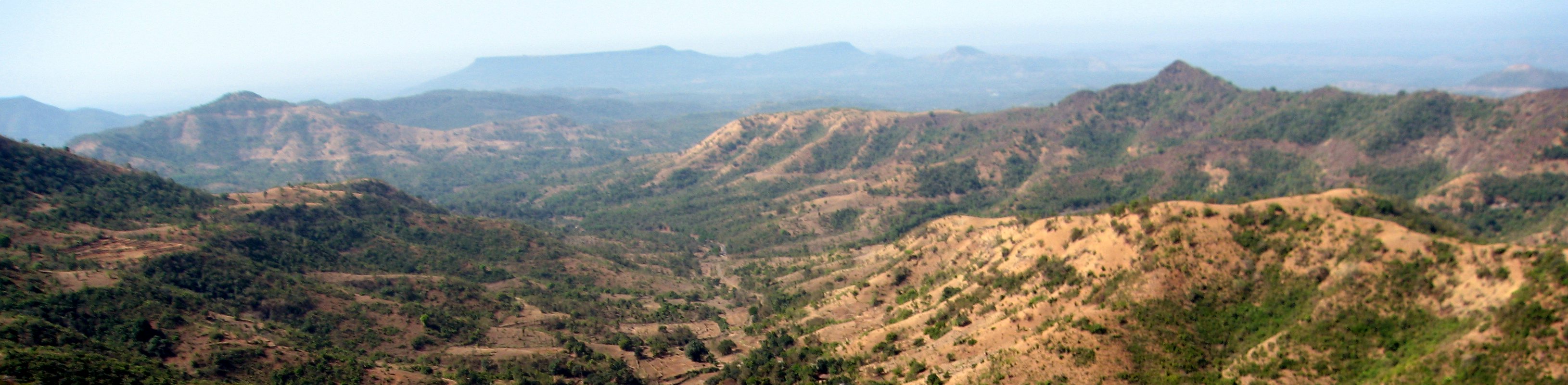
Elevation of Khede, Maharashtra, India
Location: India > Maharashtra > Sangli >
Longitude: 73.9183464
Latitude: 17.0697219
Elevation: 577m / 1893feet
Barometric Pressure: 95KPa
Elevation Map:
Satellite Map:
Related Photos:

... far-end towards Malkapur

... windmills near Yenape

Along India's National Highway 204

Along India's National Highway 204

Along India's National Highway 204
Along India's National Highway 204

... windmills near Yenape

Natural Perls
Topographic Map of Khede, Maharashtra, India
Find elevation by address:

Places near Khede, Maharashtra, India:
Sondoli
Kharale
Chinchewadi
Kashidwadi
Kusalewadi
Shittur Tarf Warun
Manewadi
Mandur
Lotalewadi
Ukhalu
Ramishtewadi
Meni
Tetamewadi Bus Stop
Bhim Nagar
Muttalwadi
Sawantwadi
Khundalapur
Bhurbushi
Bharewadi
Karapewadi
Recent Searches:
- Elevation of Corso Fratelli Cairoli, 35, Macerata MC, Italy
- Elevation of Tallevast Rd, Sarasota, FL, USA
- Elevation of 4th St E, Sonoma, CA, USA
- Elevation of Black Hollow Rd, Pennsdale, PA, USA
- Elevation of Oakland Ave, Williamsport, PA, USA
- Elevation of Pedrógão Grande, Portugal
- Elevation of Klee Dr, Martinsburg, WV, USA
- Elevation of Via Roma, Pieranica CR, Italy
- Elevation of Tavkvetili Mountain, Georgia
- Elevation of Hartfords Bluff Cir, Mt Pleasant, SC, USA