Elevation of Khanki, Gujranwala, Punjab, Pakistan
Location: Pakistan > Punjab > Gujranwala > Wazirabad >
Longitude: 73.9785952
Latitude: 32.398787
Elevation: 221m / 725feet
Barometric Pressure: 99KPa
Elevation Map:
Satellite Map:
Related Photos:
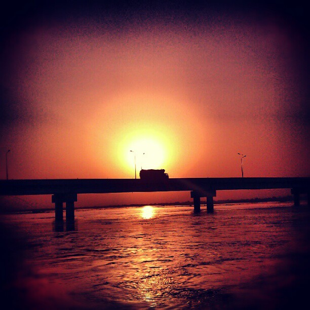
#sunset #truck #desi #Pakistan

#happymarriagelife

Akbars Kinara #Restaurant at #River Chinab
Topographic Map of Khanki, Gujranwala, Punjab, Pakistan
Find elevation by address:

Places near Khanki, Gujranwala, Punjab, Pakistan:
Khanki Barrage
Darya Khatana
Maulana Zafar Ali Khan Tomb
Karmabad
Karamabad
Akbari Fort
Gujrat
Pahrianwali
Gujrat Airport
Gujrat
Waraichanwala
Darbar Pak Hakim Ul Aarfeen
Baho
Gujrat
Chaodhowal
Chhapar
Tomb Of Helaan
Helan
Phalia
Sambrial
Recent Searches:
- Elevation of Corso Fratelli Cairoli, 35, Macerata MC, Italy
- Elevation of Tallevast Rd, Sarasota, FL, USA
- Elevation of 4th St E, Sonoma, CA, USA
- Elevation of Black Hollow Rd, Pennsdale, PA, USA
- Elevation of Oakland Ave, Williamsport, PA, USA
- Elevation of Pedrógão Grande, Portugal
- Elevation of Klee Dr, Martinsburg, WV, USA
- Elevation of Via Roma, Pieranica CR, Italy
- Elevation of Tavkvetili Mountain, Georgia
- Elevation of Hartfords Bluff Cir, Mt Pleasant, SC, USA