Elevation of Khab, Himachal Pradesh, India
Location: India > Himachal Pradesh > Kinnaur >
Longitude: 78.6434199
Latitude: 31.7990301
Elevation: 2782m / 9127feet
Barometric Pressure: 72KPa
Elevation Map:
Satellite Map:
Related Photos:
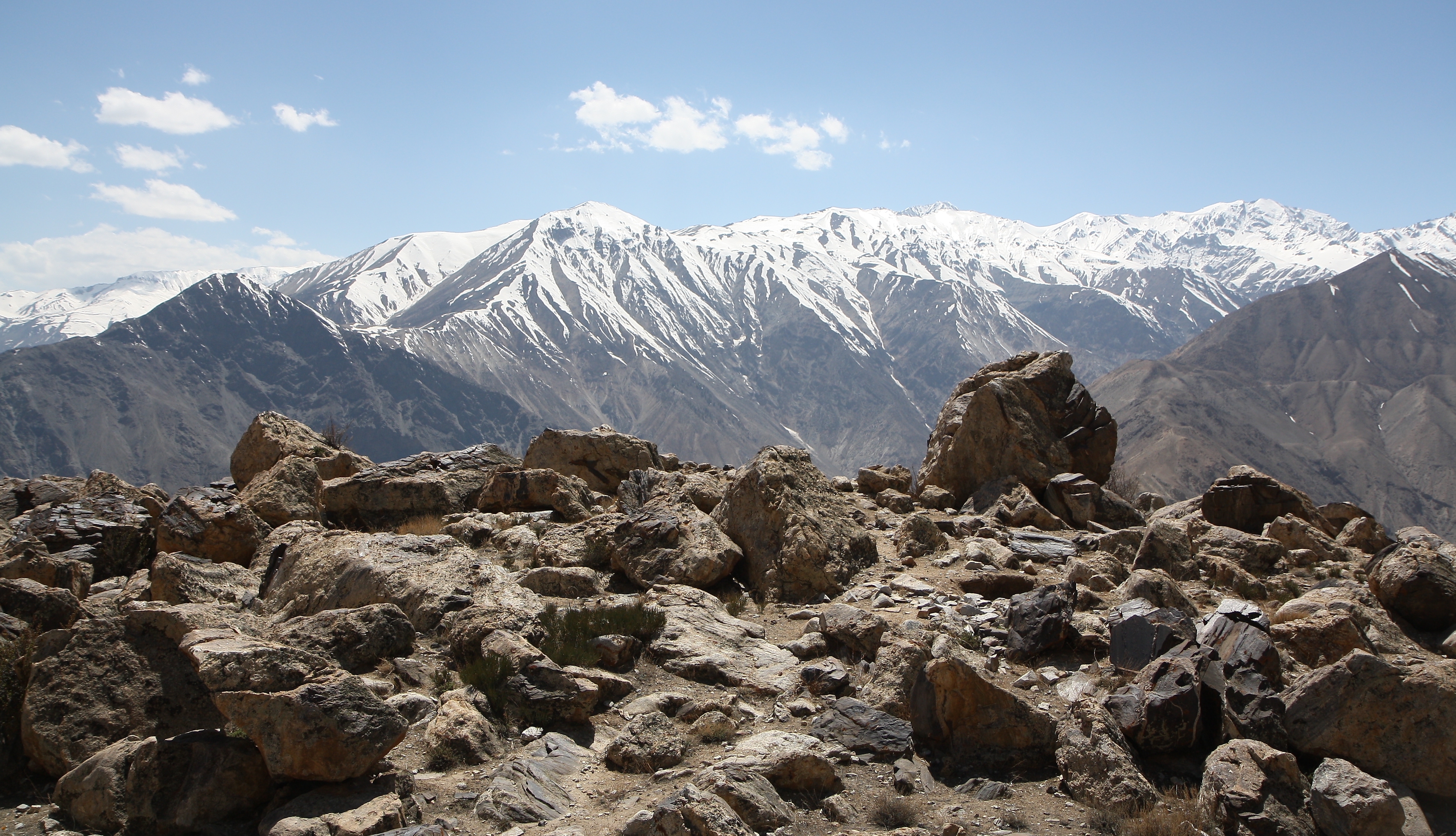
Views around Nako
Topographic Map of Khab, Himachal Pradesh, India
Find elevation by address:

Places near Khab, Himachal Pradesh, India:
Kinnaur
Dhar Manela
Manirang
Tabo
Reckong Peo
Kalpa
Chitkul
Sangla
Himachal Pradesh Gramin Bank ,sagnam
Sangnam
Jaundhar Glacier
Komic
Sankari Range
Har Ki Doon
Swargarohini
Kaza
Supin Range
Govind Pashu Vihar National Park And Sanctuary
Spiti Valley
Harsil
Recent Searches:
- Elevation of Corso Fratelli Cairoli, 35, Macerata MC, Italy
- Elevation of Tallevast Rd, Sarasota, FL, USA
- Elevation of 4th St E, Sonoma, CA, USA
- Elevation of Black Hollow Rd, Pennsdale, PA, USA
- Elevation of Oakland Ave, Williamsport, PA, USA
- Elevation of Pedrógão Grande, Portugal
- Elevation of Klee Dr, Martinsburg, WV, USA
- Elevation of Via Roma, Pieranica CR, Italy
- Elevation of Tavkvetili Mountain, Georgia
- Elevation of Hartfords Bluff Cir, Mt Pleasant, SC, USA